
Great Burney - Lake District Walk
Wednesday 2nd July 2008
Another short walk that was planned as an up and down but actually ended up being a longer circular walk. We have passed Great Burney many times on our way too and from Eskdale so today we finally decided to visit it on our way home and to have lunch at it's summit.
Start: Woodland Fell Road (SD 2591 8525)
Route: Woodland Fell Road - Great Burney (OF) - Little Burney - Mawthwaite Moss - Woodland Fell Road
Distance: 2.5 miles Ascent: 206 metres Time Taken: 2 hours 30 mins
Terrain: Generally easy to follow paths.
Weather: Warm and dry.
Pub Visited: None Ale Drunk: None

Great Burney.

The summit is still some way ahead.

Kirkby Moor.

Great Burney's summit trig.

The Consiton Fells seen across Blawith Knott.

Consiton Water with Top O'Selside to it's right.

The Dunnerdale Fells catch some sunlight.

The tops of the Scafells are in cloud.

The Duddon Estuary.

The sun misses Black Combe again.

Little Burney's summit.

Blawith Knott and Tottlebank Height, from Little Burney's summit.

Blawith Knott.
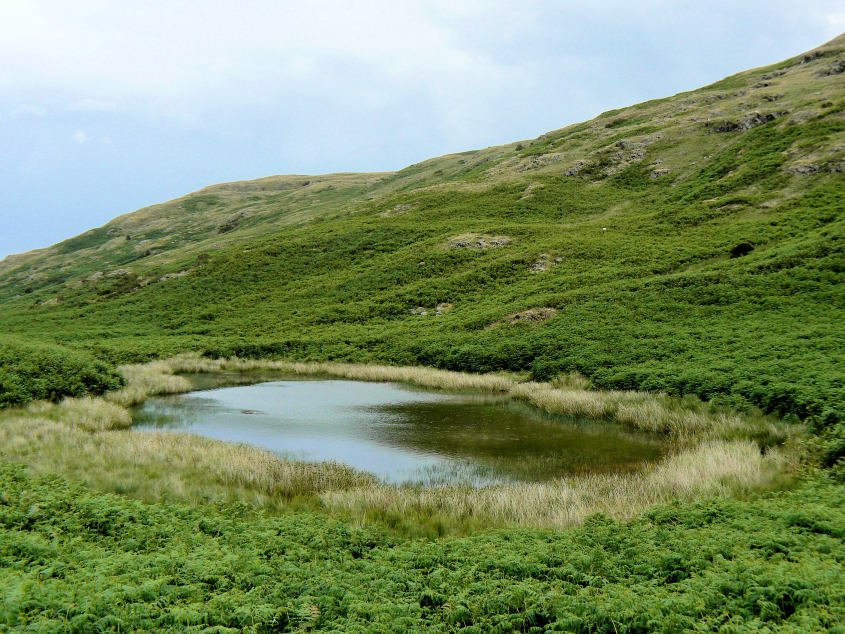
An unnamed tarn below Great Burney.
All pictures copyright © Peak Walker 2006-2023