
Kinder Scout - Peak District Walk
Friday 18th May 2018
Keen to take advantage of the continuing warm spell we decided to head out for a walk along the southern edges of Kinder Scout. The route meant that once again we would explore some paths we hadn't been on before, this time the section running along southern ridge of Kinder from the top of Lady Brook Booth to the bottom of Crookstone Hill, along with the path off the plateau to Hope Cross.
Start: Edale car park (SK 1239 8536)
Route: Edale car park - Grindslow Knoll - Upper Tor - Ringing Roger - Crookstone Hill - Jaggers Clough - Edale Youth Hostel - Nether Ollerbrook - Edale car park
Distance: 10 miles Ascent: 653 metres Time Taken: 6 hrs 15 mins
Terrain: Clear paths with a lot of picking your way through rocks.
Weather: Warm and dry.
Pub Visited: The Wheatsheaf, Baslow Ale Drunk: Jennings Cumberland
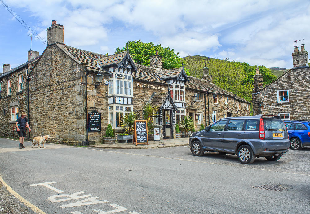
Having walked into Edale we leave the village by following the start of the Pennine Way, which is found opposite the pub. Early morning commitments meant it was midday before we set out so others are about to finish their day's walking.

We emerge from the trees into a field, where we immediately leave the Pennine Way and head uphill to find the gate and path that will take us over the brow of the hill.
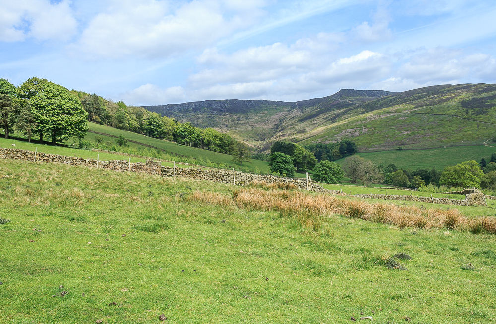
We head uphill and soon get a view of the southern edges of Kinder, which we will be walking along later.
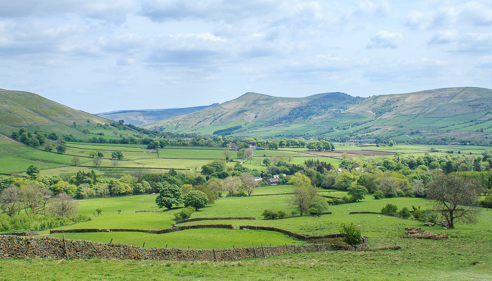
As we reach the gate the view behind us extends down the Vale of Edale towards Lose Hill.
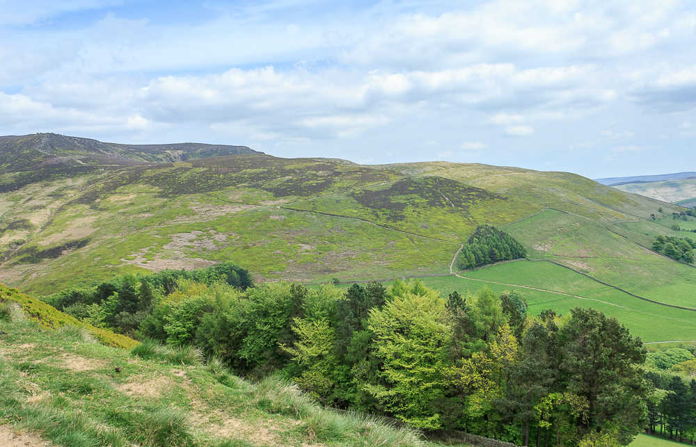
The path crosses the brow of the hill and we get a clear view of the path heading up The Nab to Ringing Roger.
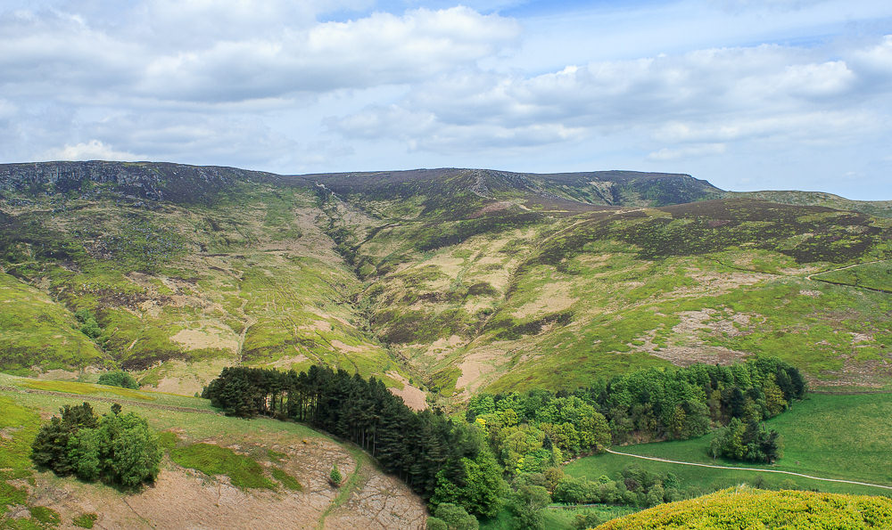
Golden Clough comes into view as we continue to head uphill.
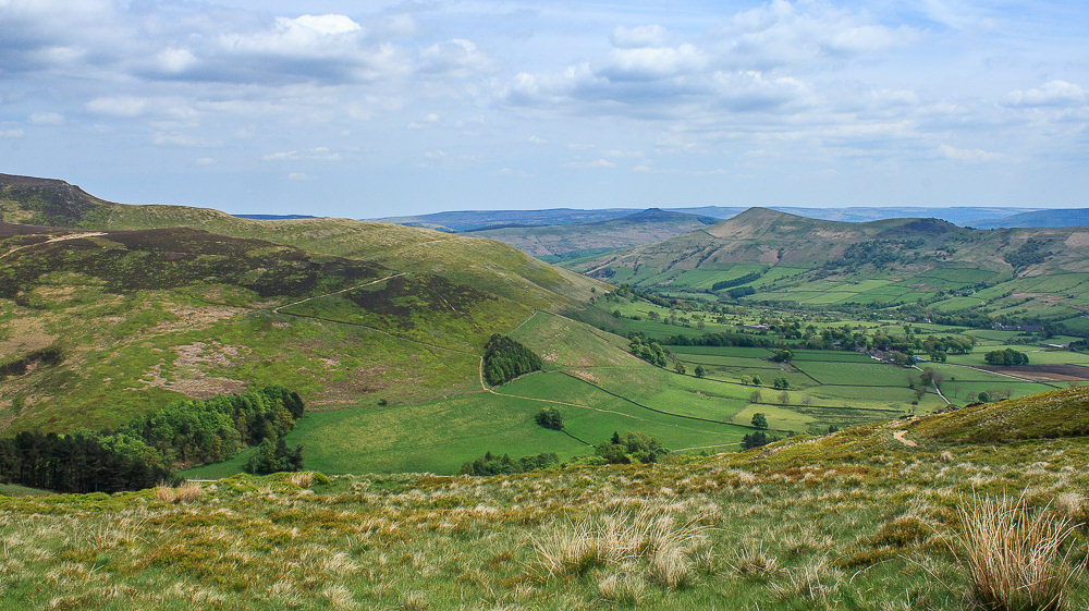
As we gain height the views improve to now include Win Hill and the Edges.
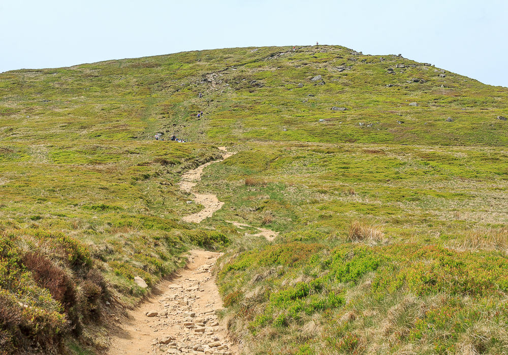
The summit and the last steep climb of the day comes into view. We take our time approaching it as a large party are making their way down the rocky section of path.
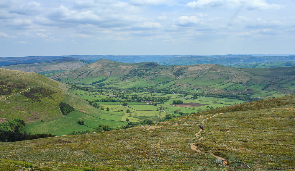
We time our walking well and meet them as the last of the group reach the gate. It was a group out practising for the Duke of Edinburgh awards, they continue downhill as we reach the only section of the path that at my height requires a bit of scrambling.
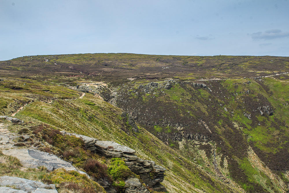
We pass on crossing the actual summit as a large party of primary school children are currently heading for it, instead we take the path just below the summit and get our first view of the top of Grindsbrook Clough.
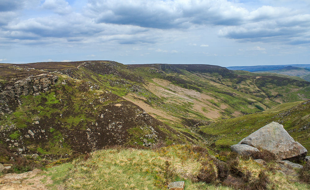
As we head towards the top of Grindsbrook we are approached by an American stopping in Glossop who having taken the path to Mill Hill has just crossed the plateau and is hoping to find a clear path back across it again. Our OS map is dragged out of the rucksack and we show him a few options. In the end he decides to take the ridge path to Edale Cross and then head down towards Hayfield, he has a long walk ahead of him. We set off in the opposite direction to walk along the ridge path towards Ringing Roger.
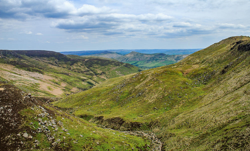
Looking down Grindsbrook as we cross over the riverbed.
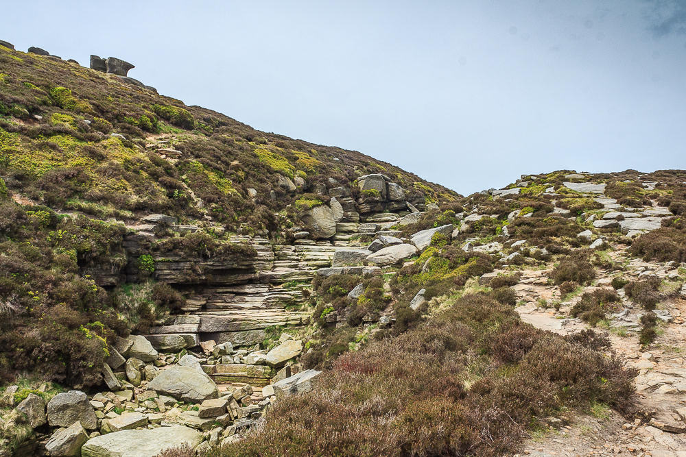
The top of Grindsbrook is easy to cross, the next clough, which also feeds into Grindsbrook, is a little trickier for someone with little legs.
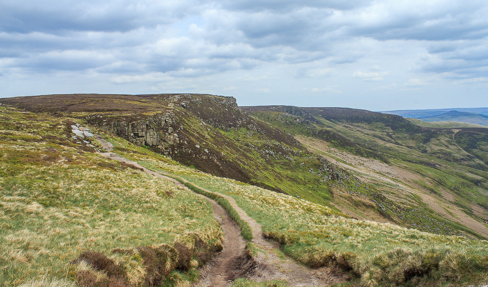
We follow the path towards Upper Tor looking out for a convenient lunch spot.

Lunch is taken sat close to the edge with views of Grindsbrook Clough and the Great Ridge.

Lunch over we head along the path picking our way through the rocks.
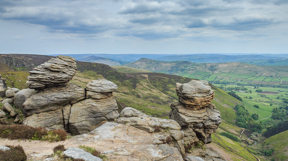
We head towards Ringing Roger as the cloud starts to build and the sunshine we enjoyed at the start of the walk disappears.
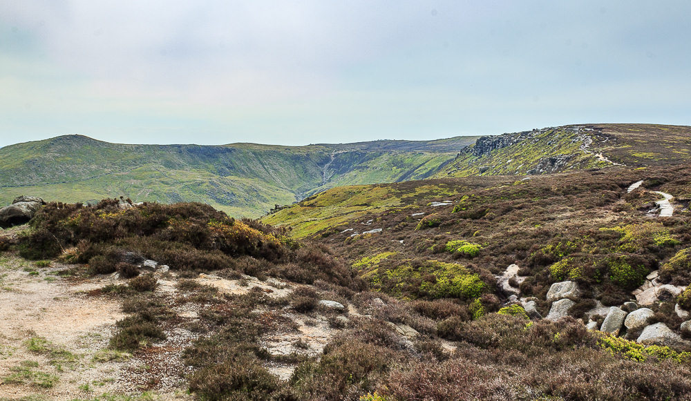
As we cross over the top of Ringing Roger we get a final view of the top of Grindsbrook.
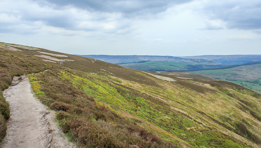
Ahead of us Derwent Edge comes into view.
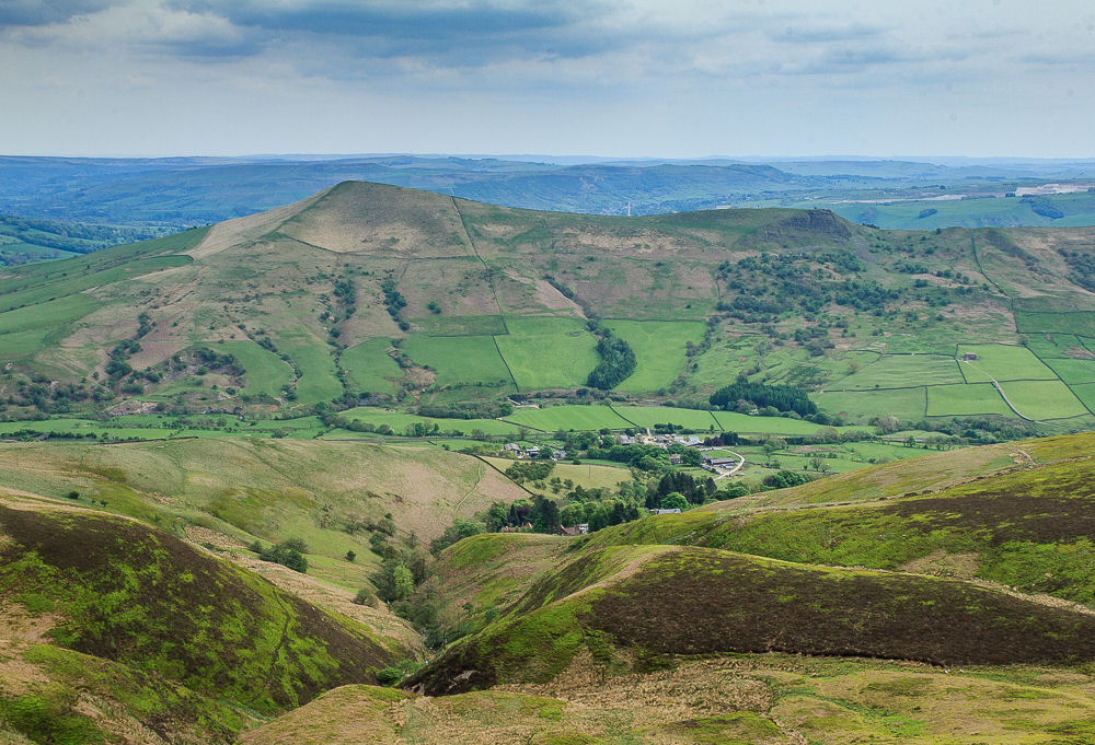
We pass over the top of Lady Booth Brook and can just make out the top of the Youth Hostel below. We tried to work out the route we had followed up alongside the brook several years ago but failed. I do remember it as being very steep and involving a lot of scrambling in places.
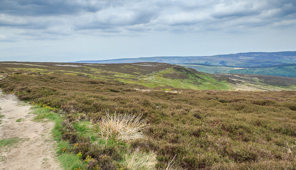
Having passed the Youth Hostel we are walking on new terrain. Ahead of us Crookstone Knoll comes into view, the path looks quite straightforward from here.
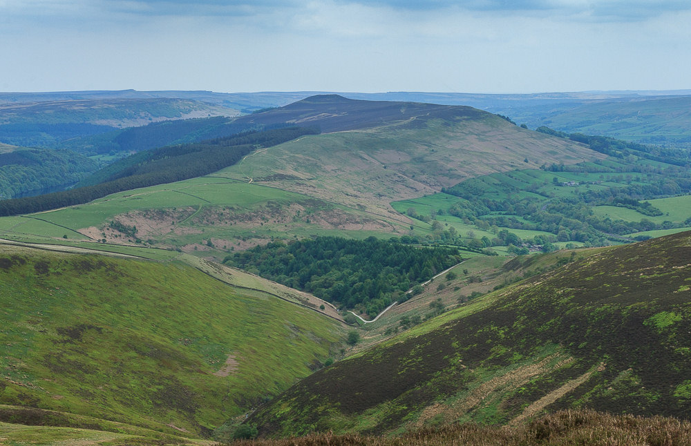
At the top of Jaggers Clough another scrambly section awaits us. Yet another place where my little legs struggle to do what those less vertically challenged can do easily.
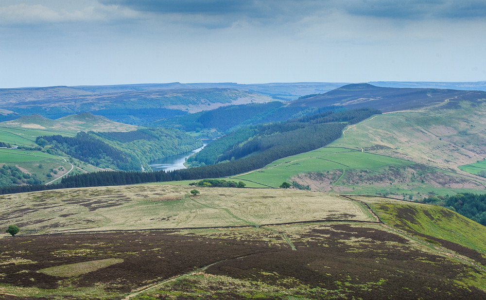
As we reach Crookstone Knoll we start looking out for the path which should take us off the ridge.
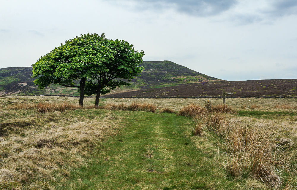
We were down off the plateau very quickly and soon walking on a wide grassy path. It has to be one of the shortest drops off Kinder we have ever done, just the matter of the long walk back to the car now.
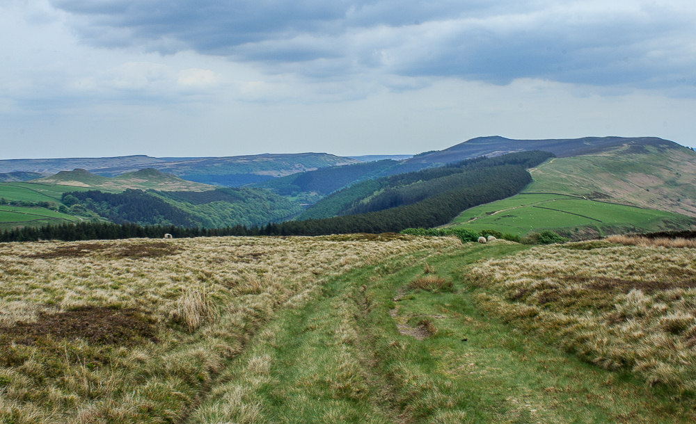
As we continue downhill we get a great view of Win Hill and Hope Brink.
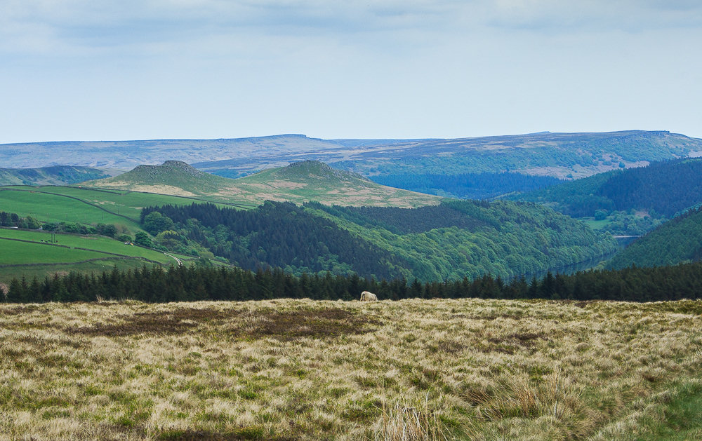
Across the valley Crook Hill comes into view.
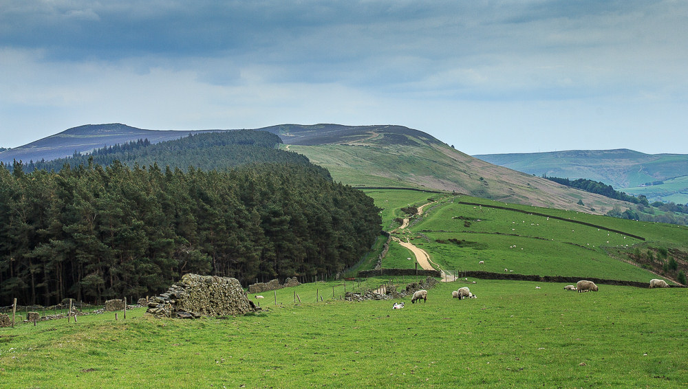
Ahead of us we can make out Hope Cross and opt for a break close to it before heading back towards Edale.
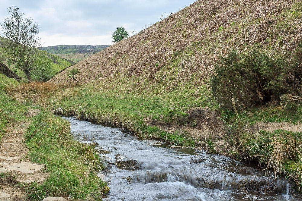
A good wide path takes us to Jagger Clough where one of those climbs you don't want at this stage of a walk lies ahead of us.
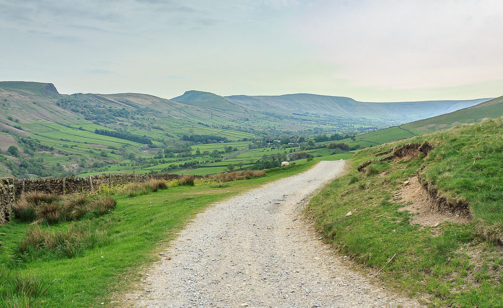
Once the last short, steep, climb is completed we get a view along the Vale of Edale that includes Mam Tor and Rushup Edge.
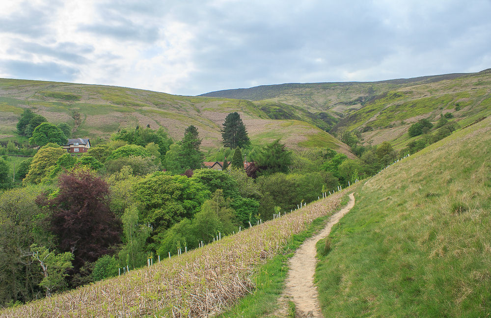
As we approach the Youth Hostel we hear lots of young voices and bump into a party heading off to learn a new skill.
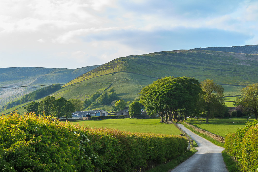
As we approach Ollerbrook Farm the sun finally makes another appearance, all we need to do now is follow the track back to the road and the car park. Upon reaching the car park we found out that cuts now mean the toilets are closed overnight and appear to be shut around teatime even in the summer, which makes me wonder why this is one of the most expensive car parks in the Peak District. Thankfully we had planned on visiting a pub for a meal on the way home so it doesn't bother us but I can imagine it is catching a few people out.
All pictures copyright © Peak Walker 2006-2023