
Chrome Hill - Peak District Walk
Saturday 11th August 2018
A combination of the very hot summer and a lot of time spent in the garden meant that no walking was done in June and July. As the weather has finally cooled down a bit we headed out to walk a hill that John has managed to miss out on. He picked a route that I last did in 2006, I decided to start in Earl Sterndale, rather than Longnor, as the parking is easier and conveniently opposite a pub, although there are several pubs in Longnor.
Start: Earl Sterndale (SK 0903 6704)
Route: Earl Sterndale - Hitter Hill - Underhill - Beggar's Bridge - Top o'th' Edge - Longnor - Under the Hill - Chrome Hill - Dowel Dale - Earl Sterndale
Distance: 6.75 miles Ascent: 438 metres Time Taken: 4 hrs 40 mins
Terrain: Clear paths, some narrow sections.
Weather: Warm with a strong breeze.
Pub Visited: The Quiet Woman, Earl Sterndale Ale Drunk: Marston's Wainwright

I can't resist another shot of this sign and as we have to walk
around the pub to get onto the first path it is appropriate.

Another new section of path is explored today as we make our way off Hitter Hill heading downhill for the first of numerous times. Ahead we have a fine view across the valley to the ridge Top o'th' Edge which we will climb twice. There is no real logic to this route other than the starting or more importantly the finishing point.

Quite where Top o'th' Edge becomes the hill or Underhill I have no idea but that is what I think this section of the ridge is called. We will also be going up this section of the ridge, which will be the fourth ascent of the day. As I said no logic at all to this route.
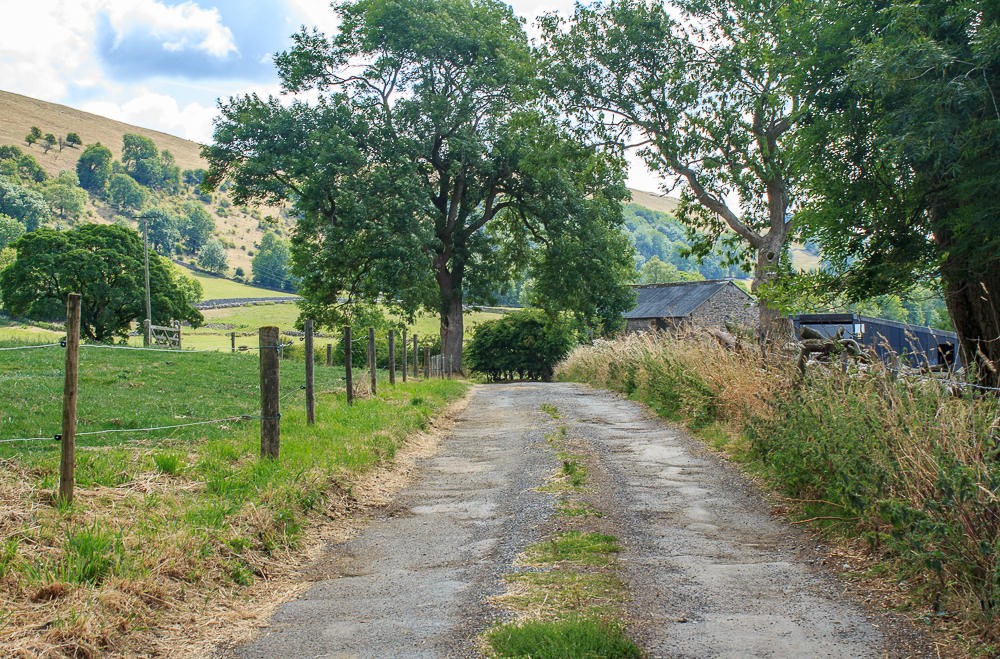
We follow the lane through Underhill Farm to reach Green Lane.

Green Lane lives up to its name, although the hills around it aren't so green.

Aldery Cliff seen here from Green Lane is, like so many of the hills, looking rather brown.

Looking down on Beggar's Bridge, where we crossed over from Derbyshire into Staffordshire.

From here we get our first good view of Chrome Hill.

Our route will take us uphill along the track onto the top of Top o'th' Edge.

Looking back across the valley to High Wheeldon which we passed on climbing today.

The central hill is Hitter Hill, which was the first of today's summits.

As we headed uphill the barn with the tree growing out of it caught my eye.

Looking down the Dove Valley towards the distinctive Wetton Hill.

The view from this section of the walk is somewhat ruined by the farm which comes into view as you drop off Top o'th' Edge towards Underhill Farm, which isn't this farm in the photo.

A little further on and a view of Parkhouse Hill which is a little more pleasing to the eye.

Heading towards Dowel Dale we get our first good look at the ascent ahead of us.

The distinctive rock known as Sugarloaf, which is found at the foot of Parkhouse Hill.

Looking along the Upper Dove Valley as we start to ascend the lower slopes of Chrome Hill.

The really steep section begins once you have passed the tree ahead.

Parkhouse Hill from Chrome Hill.

Looking along the valley I can't but help noticing that one side of the hills is much greener than the other.

The view along the Upper Dove Valley from close to the summit.

The view towards Earl Sterndale from close to the summit.

Upper Edge from the same spot. No summit shots today because a large party arrived there and settled down for their lunch at the same time as we reached the summit.

The route down isn't quite as bad as it looks but before we head down there is time to appreciate the view across Hollins Hill towards Axe Edge.

The natural arch found on the way down. Not suprisingly the ground was nice and dry today so it was a good opportunity to get a shot looking through it.

Having negotiated the tricky narrow sections we had lunch, out of the wind, at the bottom of Chrome Hill.

Still my favourite view of the hill and the one where you can see why it is also called the Dragon's Back.

High Edge, one of the few places in the Peak District where you will find some limestone pavement, but not on our route today.

Heading down towards Dowel Dale as two cyclists head uphill. We would pass them close to Pikehall later on our way home.

Another descent before we head up the side of the dale.

Once we complete the final ascent of the day we make a quick diversion to get this view of Parkhouse Hill.

We can also see High Wheeldon and with the village now in sight so is the end of the walk.
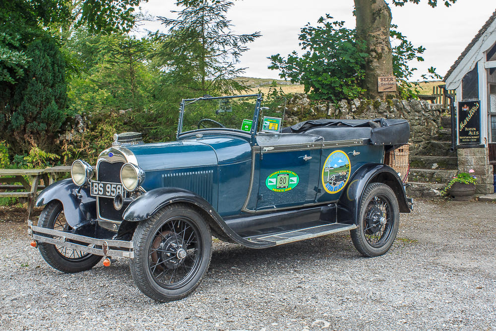
No idea what it is other than a car but as the theme for the Summer Project for Matlock Photography Club is 'Anything with Wheels' I had to get a shot of it. Happily it was outside the pub which was, for the first time in my experience, open.
All pictures copyright © Peak Walker 2006-2023