
Bretton Clough - Peak District Walk
Thursday 19th August 2021
Today we opted to repeat a walk we did last October that didn't make it onto the website. Whilst much of the walk is on paths I have covered before it also includes a path from Stoke Ford along Bretton Clough that in October was new to me.
Start: Sir William Hill Road (SK 2245 7802)
Route: Sir William Hill Road - Eyam Moor - Hazelford - Highlow Wood - Stoke Ford - Bretton Clough - Sir William Hill Road
Distance: 5.25 miles Ascent: 334 metres Time Taken: 3 hrs 40 mins
Terrain: Clear paths
Weather: Sunny to start. One heavy shower, then overcast.
Pub Visited: Wheatsheaf Inn, Baslow Ale Drunk: Thwaites, Wainwright
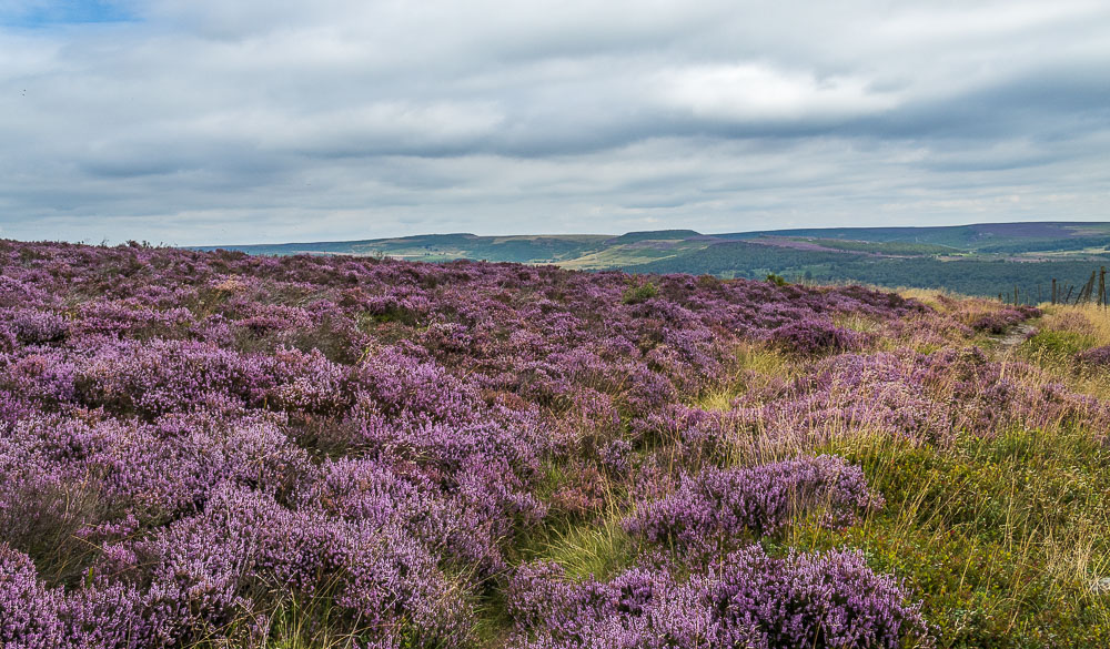
The walk starts by crossing Eyam Moor, which at this time of year gives us chance to enjoy the heather, which is in full bloom.
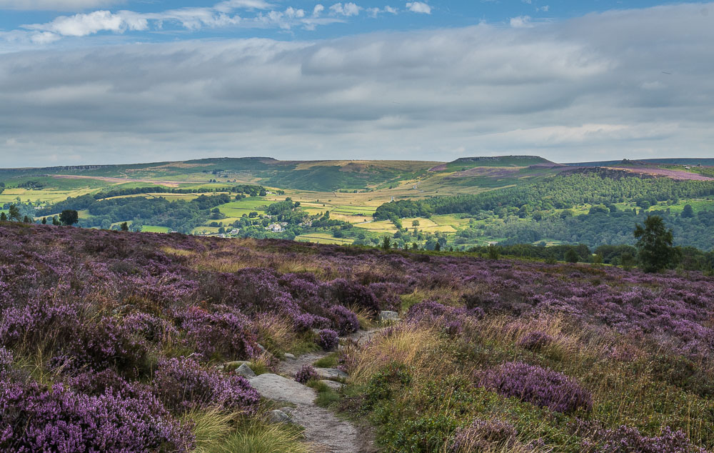
As we head across the moor the view across the valley to Higger Tor and Stanage Edge just keeps on improving, not least because the sun comes out for a while.
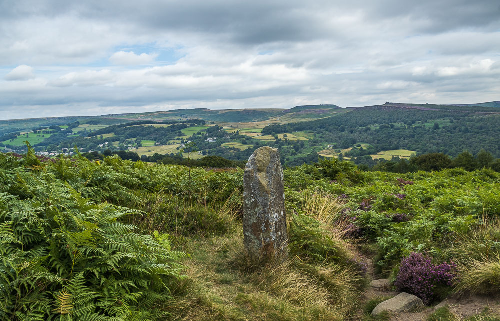
One of my plans had been to get a shot of Higger Tor and Over Owler Tor through the two stones pillars found here. Firstly, there was a couple sat there enjoying their coffee and secondly the hoped-for flowering heather had been overtaken by ferns. Although the couple offered to move the ferns didn't make it worthwhile, so we left them to enjoy their coffee and moved on.
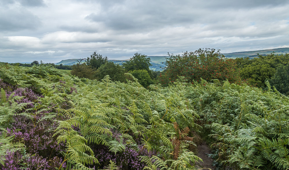
In fact the stone pillars seemed to mark a change in the nature of the moor as the path down to the road was now through ferns with very little heather in sight.

Heading down the road towards Hazelford we were able to enjoy the sight of the Rowan trees full of berries. I wonder how much longer they will remain there.
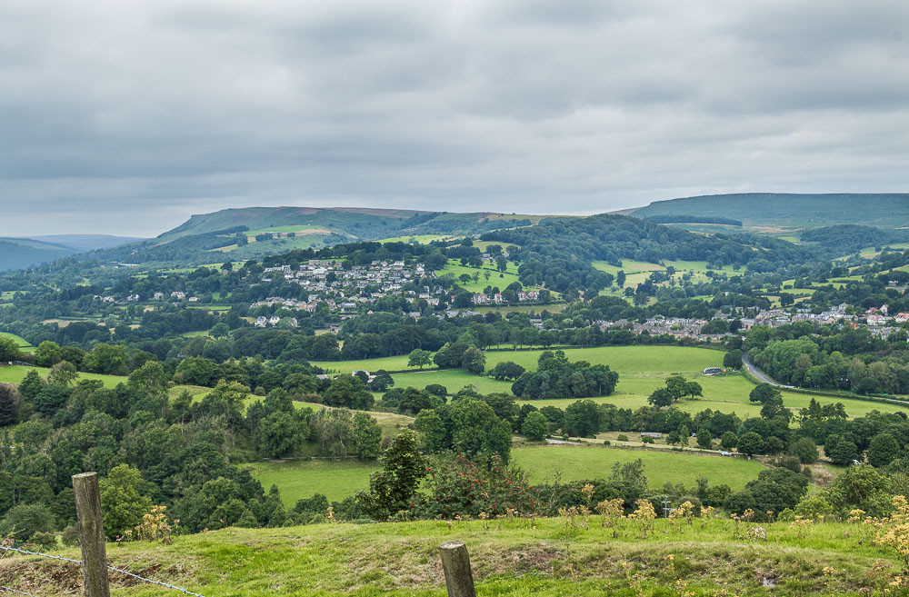
As we head down the road Bamford Edge comes into view.
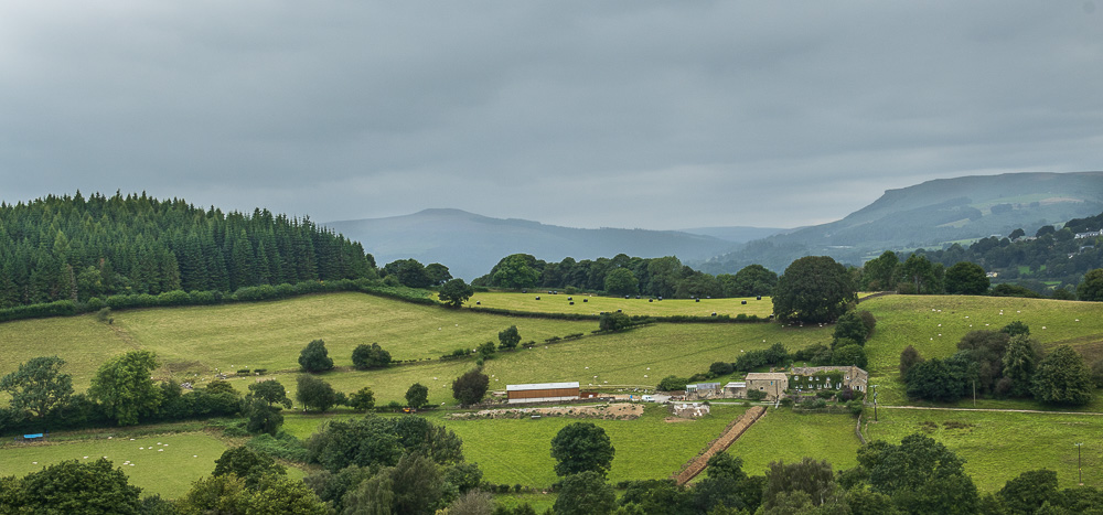
A few minutes later looking across to Win Hill there are definite signs that we may well be getting wet in a bit. Fortunately, that shower didn't head in our direction.
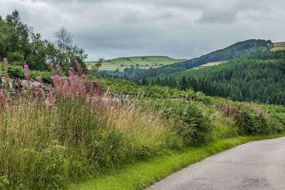
As the road turns towards Hazelford we get out first view of Abney Low.
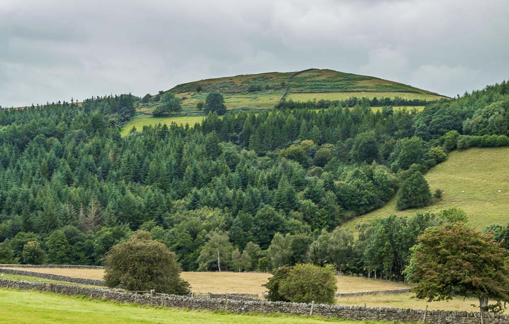
To our right we can also see High Low above Highlow Wood.
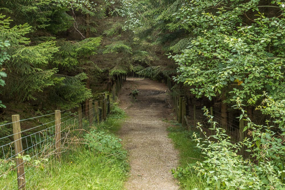
At this time of year Highlow Wood is relatively dry and not the usual mudfest that it can be.
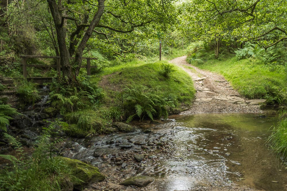
Our route from Highlow Brook takes us uphill and back onto the edge of Eyam Moor.
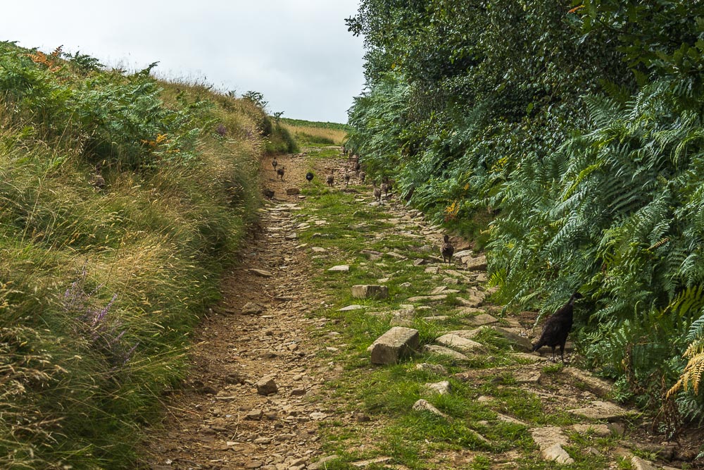
As we head along the path, we find our way blocked by a chorus of grouse. Bizarrely they weren't very bothered about us and let us get quite close, something they had better soon learn not to do. The last time we were on this path there were beaters out on the moor above us, the grouse won't last long if they react to them the same way they did to us.

Looking back towards Higger Tor as we find ourselves feeling the odd spot of rain. Let's hope this shower passes us by as well.
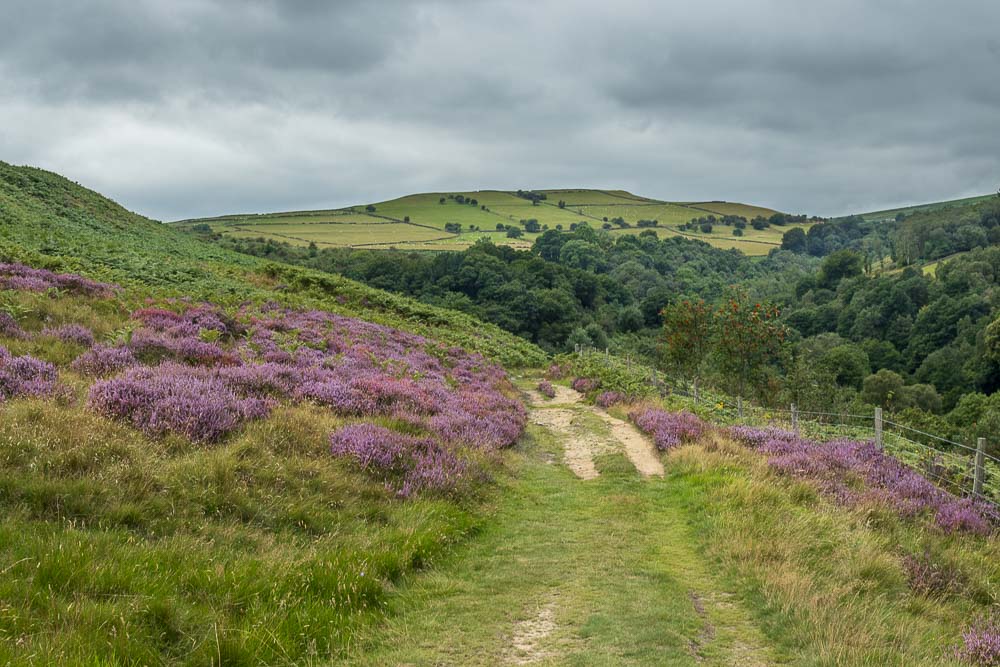
Rather than head up over Bole Hill we take the path below it, which will take us down to Stoke Ford.
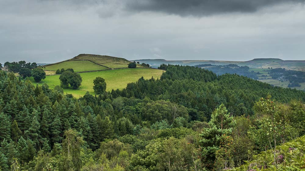
Looking across to High Low and Higger Tor before we descend into the wood.
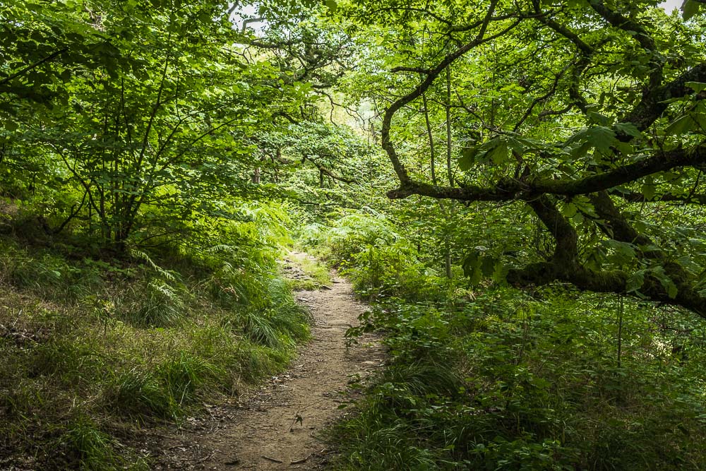
As we reach the wood it starts to sound like the rain is getting heavier, hopefully it will pass by before we emerge from the woods in Bretton Clough.
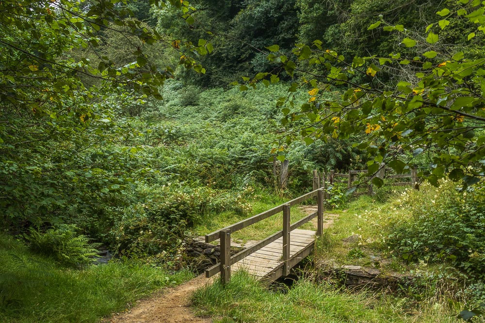
Despite hearing lots of voices as we descended towards Stoke Ford there was no sign of anyone when we reached the bridge.
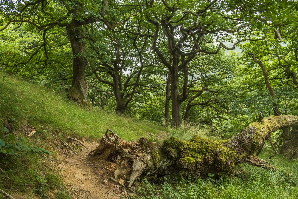
Just above Stoke Ford we take the path which we will follow through Bretton Clough. The first section is in a wood and as the rain is getting noticeably heavier we decide to have lunch sheltered under the tree to the left.
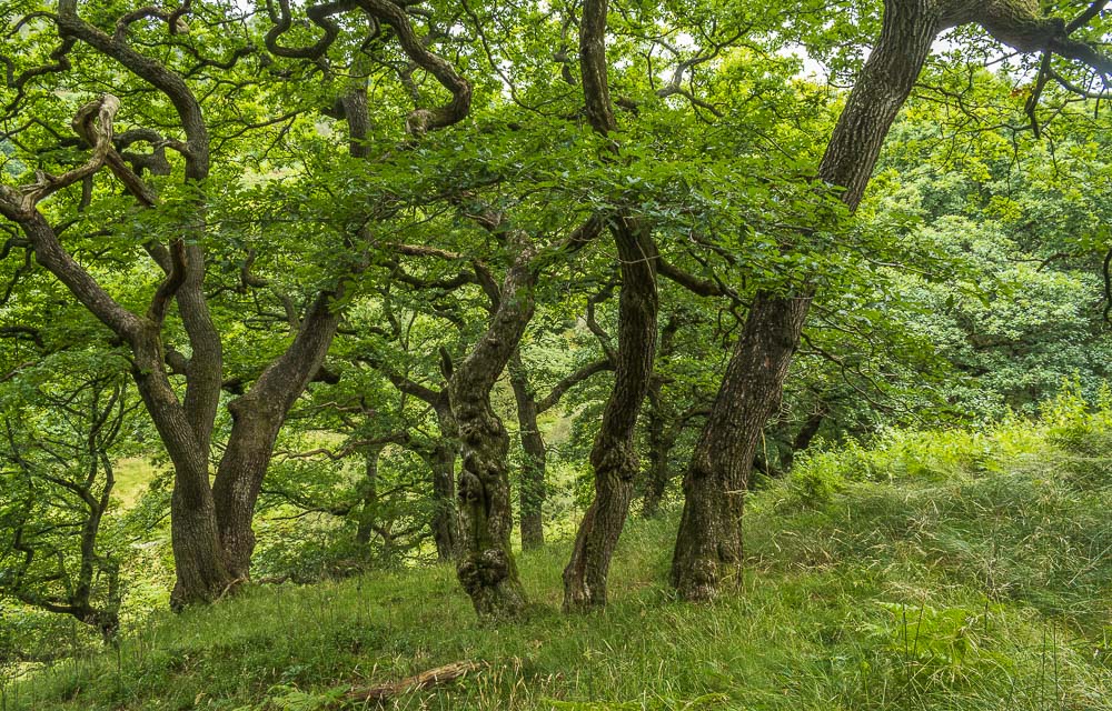
As we sat having lunch the rain got heavier but finally, after about 30 minutes, started to ease up, at which point we decided to risk making a move.
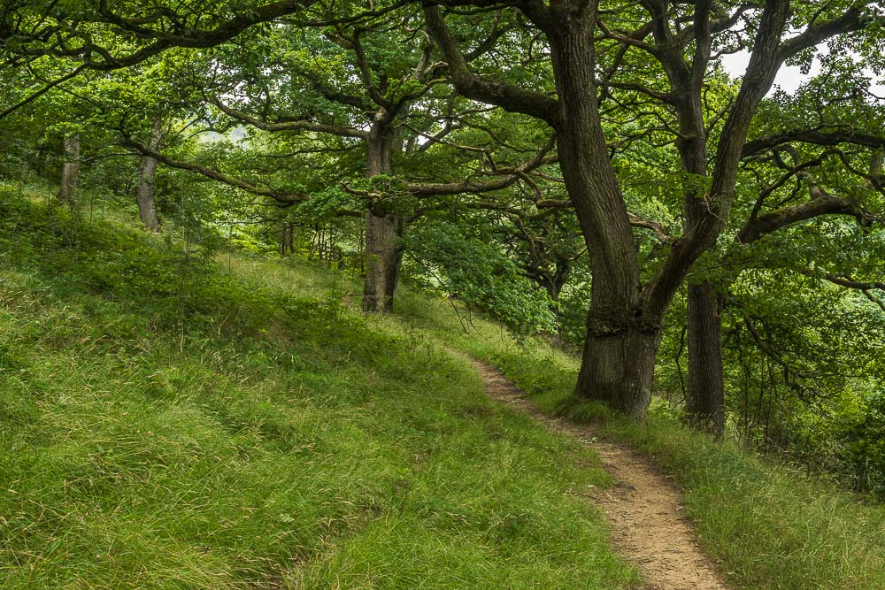
Just beyond where we had stopped for lunch the path leaves the trees and passes through ferns, where we were certainly glad we had our waterproof coats on.
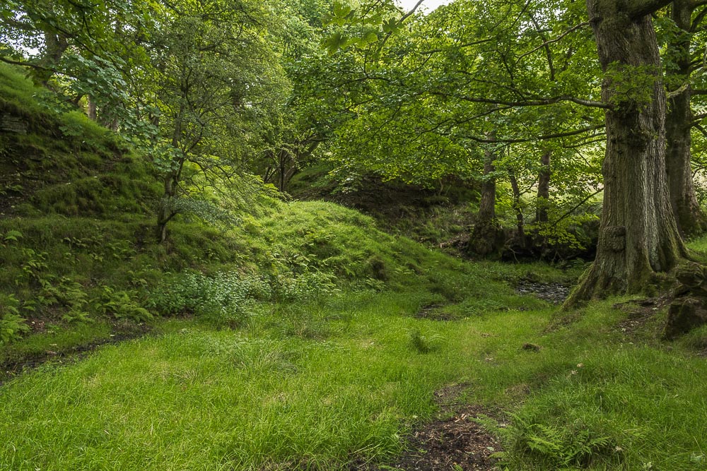
Having passed through a second gate we reach the point where the path splits, rather than follow the path to the left we go right.
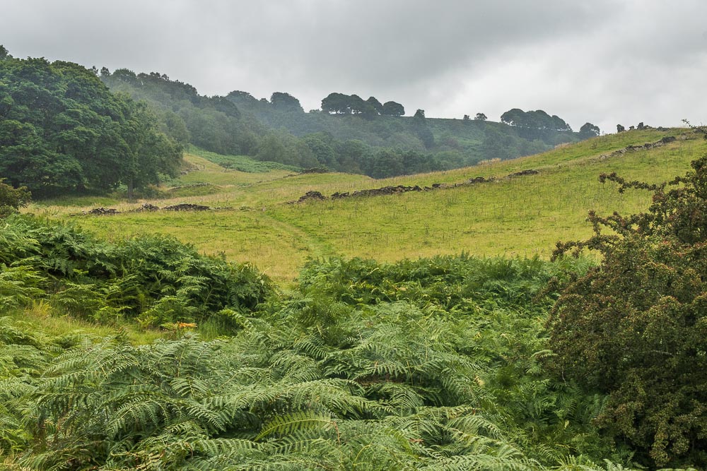
As we emerge onto the open ground the last of the rain blows through the clough. By the time we reached the edge of the ferns we were contemplating taking our waterproofs off.
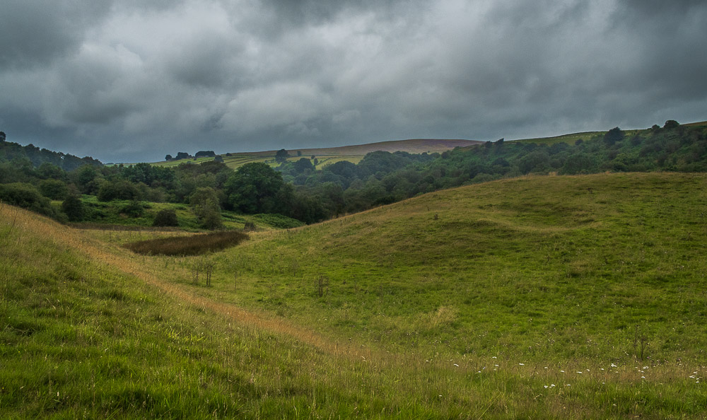
As we walked through Bretton Clough Abney Moor came into view.
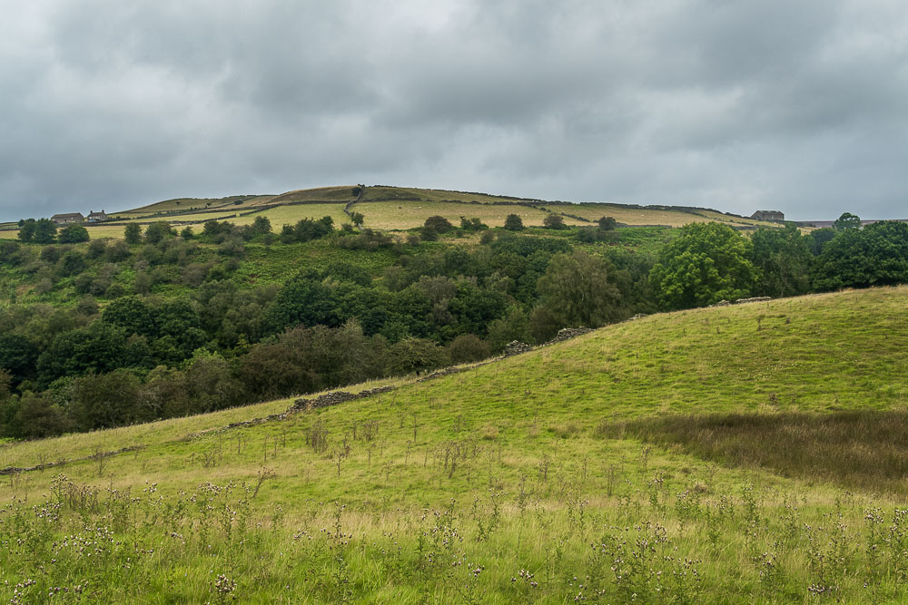
Abney Low seen across Bretton Clough.
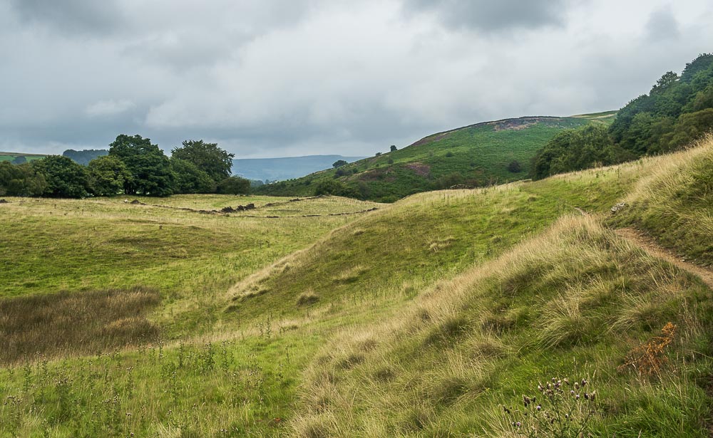
Although the clouds didn't clear away we were glad we had opted to remove our waterproof coats as it was certainly very humid.
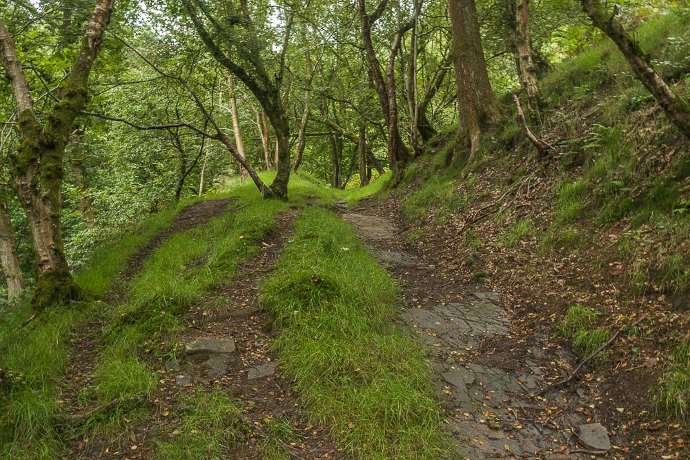
We were soon heading back into woodland, only now the path is climbing steeply up out of Bretton Clough. The one aspect of visiting Bretton Clough there is no escaping from is the steep climb that you always have to do towards the end of the walk as the roads are at the top of the clough and not along it.
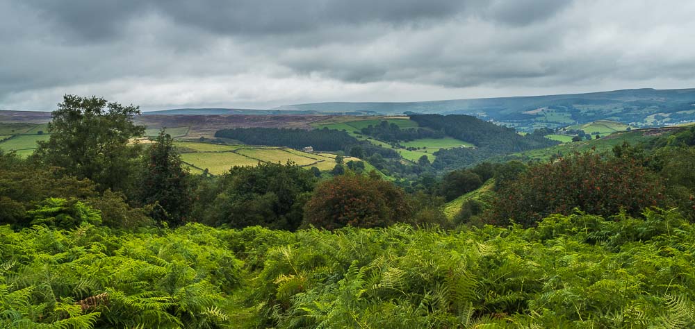
Having climbed out of the clough we are rewarded with a view across Smelting Hill and Hathersage to Stanage Edge.
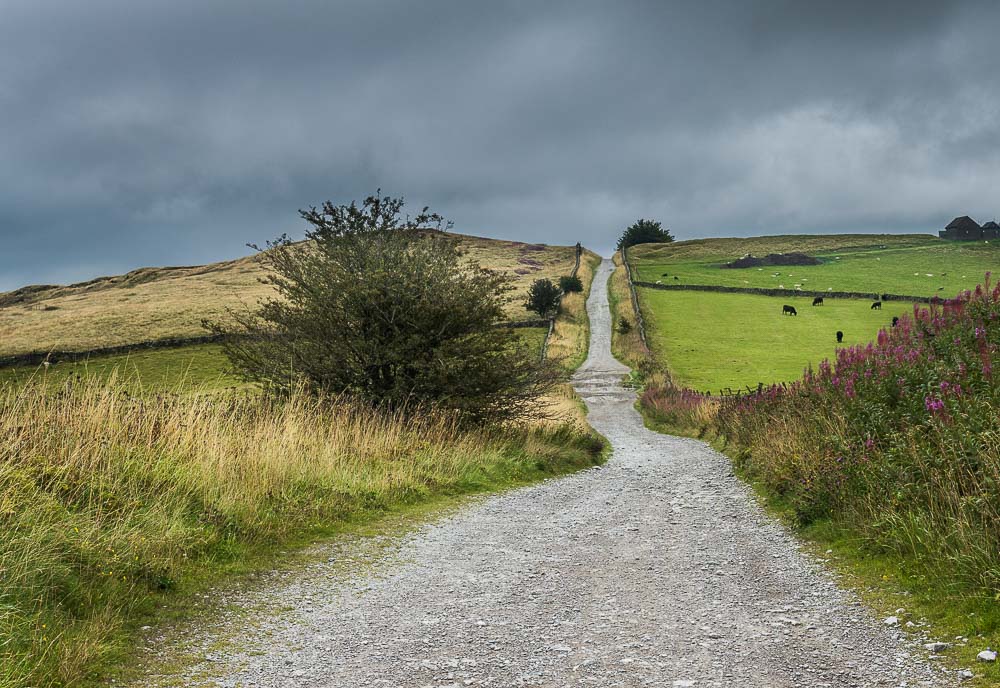
Even though we have climbed out of the clough there is still more ascent ahead of us as we have have to follow Sir William Hill Road over the highest point of Eyam Moor.
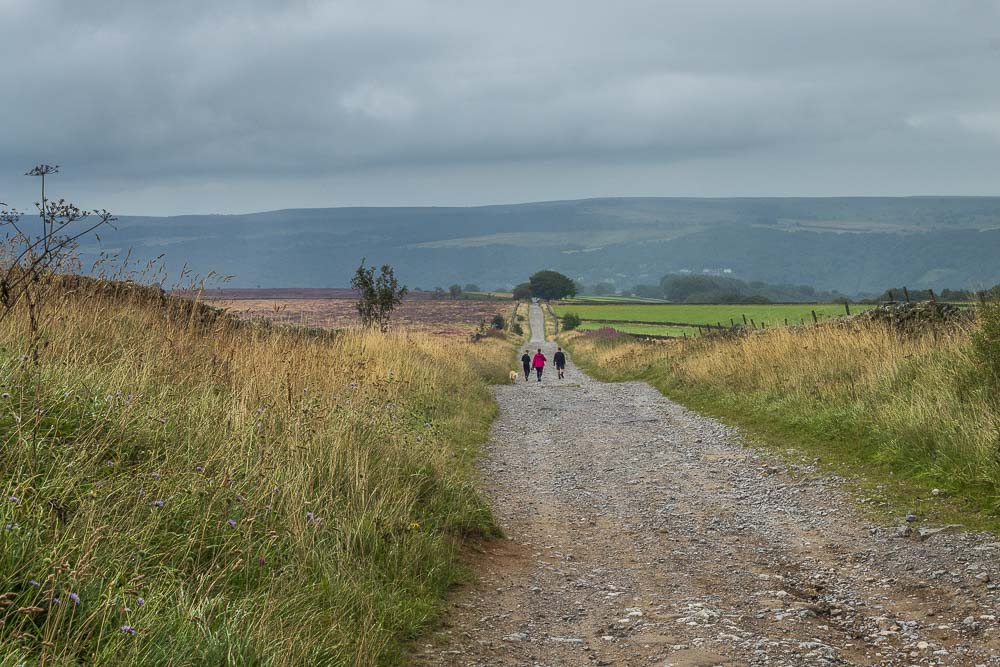
At least once we have reached the top of the moor it is all downhill to the car at the end of the road. Even better the rain held off until we were on our way home.
All pictures copyright © Peak Walker 2006-2023