
Monsal Dale - Peak District Walk
Monday 8th January 2018
The destination for today's walk changed several times as we debated travelling times and likely walking coinditions. In the end we decided on a walk around Monsal Dale as the roads to it were likely to have be free of ice and there was a fair chance we would also avoid walking on icy paths.
Start: White Lodge car park (SK 1703 7063)
Route: White Lodge car park - Brushfield Hough - High Dale - Priestcliffe - Broadway Lane - Priestcliffe Lees - Monsal Trail - Monsal Head - Monsal Dale - White Lodge car park
Distance: 7 miles Ascent: 498 metres Time Taken: 4 hrs 30 mins
Terrain: Good paths
Weather: Sunny and dry to start, bitterly cold.
Pub Visited: None Ale Drunk: None
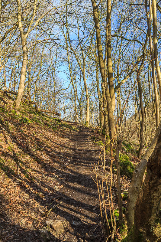
Heading up through the wood, towards Brushfield Hough, we were pleased
to see that the path wasn't icy with the added benefit that the
frozen ground made the going fairly easy.

The puddles were solid ice and it had been so cold that the slurry around the gate ahead had frozen making it very difficult to open the gate to get through the farm.

Looking towards Monsal Head and the first sign of the cloud that will build up during the next hour.

Heading for Brushfield with views across the dale towards Taddington.

For most of the way the track was free of ice but where there were puddles of solid ice it was easy enough to walk around them.

Much of High Dale was still covered in frost.

Today we walked the length of the dale instead of heading up the side of the dale to Bulltor Lane.

Looking back along High Dale whilst we enjoy a short coffee break in the sun.

Our route would take us across the fields towards Priestcliffe.

Looking back towards High Dale.
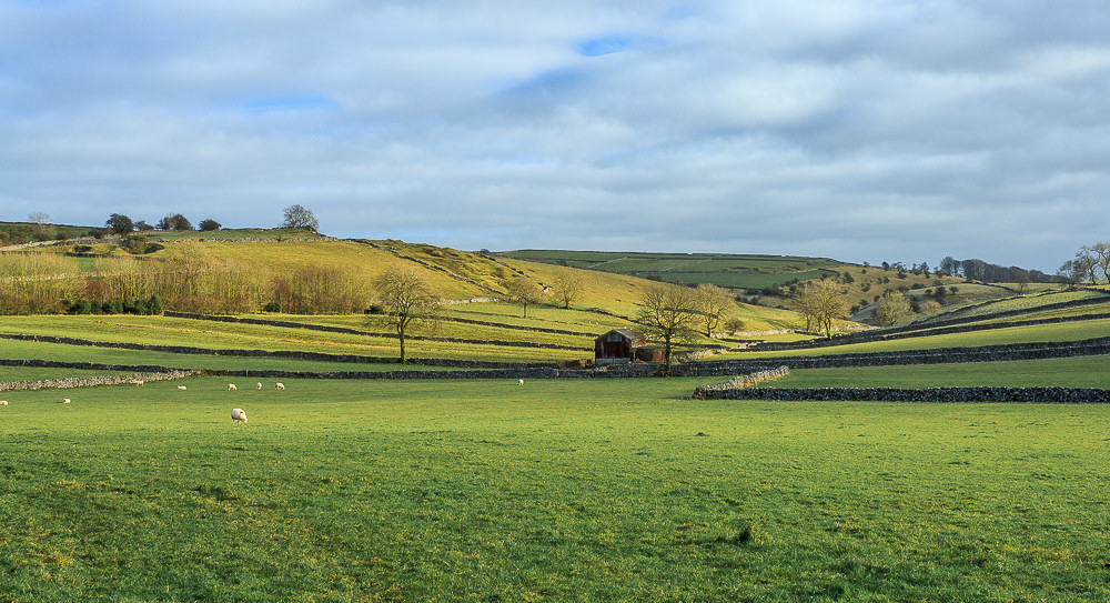
The barns and stone walls certainly made this typical White Peak scenery.

We followed Broadway Lane towards New Barn, which actually looked anything but new.

Looking back towards Chelmorton as we head for Preistcliffe Lees.

From Priestcliffe Lees it was a steep drop down to the Monsal Trail. As the ground was still frozen solid it was a case of taking your time in order to avoid taking any unplanned falls.

We had lunch sat on a cold bench on the Monsal Trail, which was practically deserted.

Our lunchtime view was of a cold looking Hammerton Hill.

It only took us a few minutes walking to get back onto a section of the Monsal Trail we had walked before.

Rather than take the path down to Litton we stayed on the Monsal Trail.

Rather than risk finding Water-cum-Jolly was flooded we opted to walk through the tunnels.

As we walked through the tunnels there was a bitterly cold wind blowing towards us, thankfully it disappeared as soon as you left them.

I actually think you get a better view of Miller's Dale from the short section between the two tunnels than you do from the hills above the tunnels.

One reason for walking through the tunnels was so I could get a long exposure shot of them using my tripod. Of course when you want a cyclist to come through them there are none to be found.

A very deserted Monsal Dale Station.

The cloud covered sky meant there were no great reflections of the viaduct today.

The river was up so high that the rocks where I had hoped to get some shots of the weir were covered in water.

All that remained was to pick our way back through a very muddy and claggy Monsal Dale.

A final look back along Monsal Dale before we cross the river and take the path to the car park.
All pictures copyright © Peak Walker 2006-2023