
Wolfscote Dale - Peak District Walk
Tuesday 18th September 2018
We were meant to be on holiday camping in the Lake District this week but one look at the forecast for gales meant we cancelled that trip. The weather at home however was much nicer so, instead of the Lakes, we have opted for some local walks and a trip to Leicester to see King Richard III. Day one of the stay at home holiday began with a walk that would also coincide with the first spell of seriously windy weather. Taking this into consideration we opted for a relatively sheltered walk with the option to go higher if the weather wasn't too bad.
Start: Alstonefield Community Hall (SK 1298 5562)
Route: Alstonefield Community Hall - Narrowdale Hill - Narrowdale - Frank i' th' Rocks Bridge - Reynards Lane - Wolfscote Hill (TP) - Reynards Lane - Wolfscote Dale - Coldeaton Bridge - Overdale - Alstonefield Commuinty Hall
Distance: 7.5 miles Ascent: 431 metres Time Taken: 4 hrs 40 mins
Terrain: Clear paths and tracks.
Weather: Dry and warm, but very windy on the summits.
Pub Visited: Devonshire Arms, Hartington Ale Drunk: Black Sheep Bitter

We start the walk in the delightful village of Alstonefield, parking in one of the three car parks in the village where all they ask for is a one pound donation.

After a short section of road walking we cut across the fields in front of Low Plantation, just as the sun threatens to come out.
Once you have located the stile into the field route finding is always easy, although if you miss the stile there is another bridleway further up the road that will give you access to Narrowdale Hill.

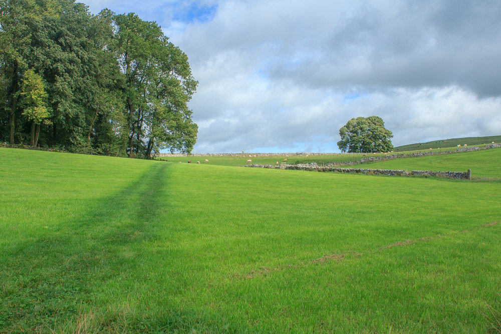
Once across the bridleway we get our first view of Narrowdale Hill. This was one of two summits I'd never been on that, wind and cows permitting, I was planning on doing today.

Rather than drop down into How Narrowdale we stick to the path running above the dale, avoiding the cows normally found in the bottom of the dale. The added bonus is the distant view of Carder Low and Pilsbury Castle Hills

From the top of Narrowdale Hill I get a good view across Wolfscote Dale to Wolfscote Hill, another summit I've never visited.

Turning around we also get a great view of the Upper Dove Valley and beyond.

Carder Low from Narrowdale Hill. Given the strength of the wind up here I'm amazed that I had any usable photos as it really was a case of kneeling down and bracing myself against the wind.

Looking back towards Alstonefield the view extends beyond Thorpe Cloud at the other end of the Dove Dale.

The view across How Narrowdale to Gratton Hill and the wind farm at Brassington.
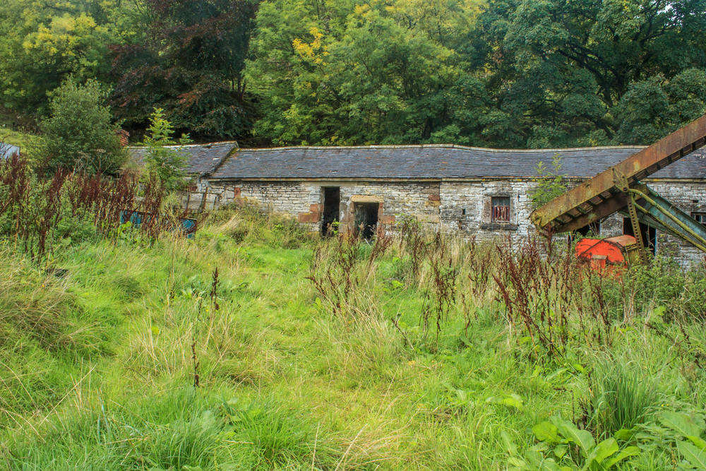
After visiting the summit of Narrowdale Hill we return to the path above How Narrowdale and follow it until it passes through this deserted farm.

The area is full of old deserted machinery such as this rotary tedder which would have been used for haymaking.
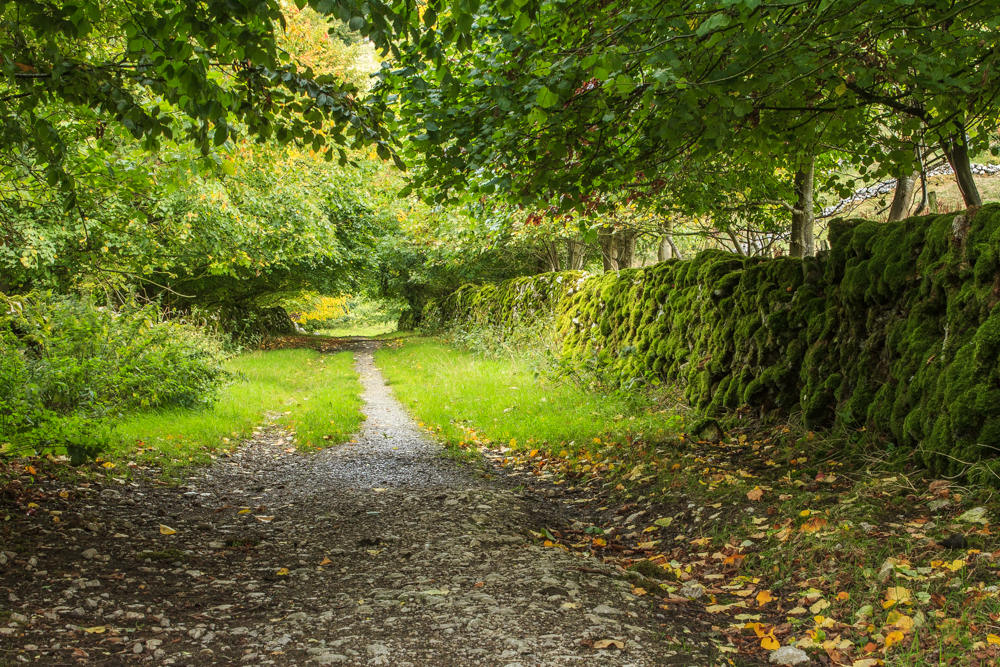
We follow the track towards Frank i' th' Rocks.
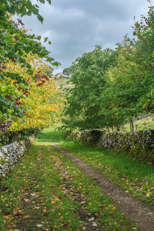
Definite signs that Autumn is upon us, lets hope storms Helene and Ali
don't remove all the leaves before we have a chance to enjoy
the colours Autumn normally brings.

As we follow the track towards Frank i' th' Rocks Bridge the views open up, here looking across towards Beresford House.

After crossing the bridge we opt for a coffee break before we begin the next ascent.

I had hoped to get a shot of the bridge and River Dove from the other bank but I'm not dedicated enough to fight my way through the waist high nettles

Reflections in the River Dove.

Instead of heading down Wolfscote Dale we diverted up a track behind Frank i' th' Rocks to the summit of Wolfscote Hill.

From the trig we had a view across both Wolfscote Dale and Dove Dale.

Looking back across Wolfscote Dale to Narrowdale Hill, with Wetton Hill behind it.

What you can't tell from these photos is the strength of the wind, as our arrival at the highest point of the walk coincided with the strongest gusts from Storm Helene passing over this location. John is in no danger of falling as the wind is just blowing him back towards the trig, whilst I'm struggling to stand still.

Any thoughts of having lunch up here, so we could enjoy the views, are abandoned, instead we head down looking for a more sheltered spot.

Once we are back on Reynards Lane we start looking for a suitable lunch spot, hoping to keep the views across to Axe Edge.

We don't find anywhere suitable and so it's lunch in Wolfscote Dale.

After a late lunch we head down Wolfscote Dale as the clouds threaten to part.

The River Dove flows through the dale.

Drabber Tor comes into view.

Peaseland Rocks appear shortly after.

We cross over the River Dove at Coldeaton Bridge and make our way up the side of the dale.

We gain height quickly and are soon looking down on the dale below us.

The path takes us into a gully where a little bit of care is needed when placing your feet, but I find it a more pleasant route than the stepped one up the side of Peaseland Rocks.

From the top of the gully we can now look across the dale below and make out one of the bridges that carries the Tissington Trail above Wolfscote Dale.
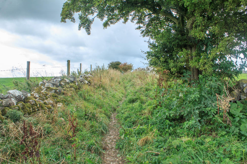
Judging by the state of the lane we followed from the top of the gully back to Alstonefield this route isn't used very often.

As we follow the lane back towards Alstonefield we are treated to views of Baley Hill and the woods above Dove Dale.
All pictures copyright © Peak Walker 2006-2023