
Falstone Forest - Northumberland Walk
Saturday 19th June 2021
The first day of a week's break in Northumberland saw us opting to walk from our holiday cottage on a route that should have been circular but ended up being an out and back walk. Even worse, when we got back to the pub closest to the cottage it was shut to the public for a private function.
Start: High Stokoe Farm (NY 7369 8615)
Route: High Stokoe Farm - Falstone - Kielder Dam - North Haul Road - Crawberry Crag - North Haul Road - Kielder Dam - Falstone - High Stokoe Farm
Distance: 10.75 miles Ascent: 345 metres Time Taken: 5 hrs 15 mins
Terrain: Clear paths
Weather: Humid with showers
Pub Visited: None Ale Drunk: None
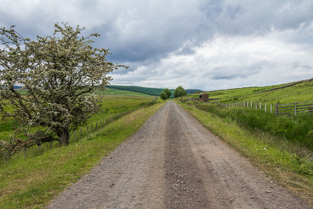
The walk started with a mile along the former railway line, a track we would get to know well over the next few days as it also had the closest pub to the cottage at the end of it.
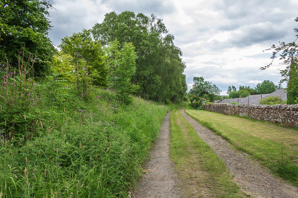
The track out of the village to Kielder Water follows the start of the Falstone Trail and takes us behind some of the village cottages.
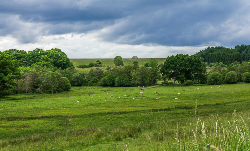
The dam wall soon came into view.

The track took us to the edge of the section of Kielder Forest known as Falstone Forest where we opted to go straight ahead rather than divert right for High Hawkhope, this was where we expected to rejoin this path towards the end of the walk.
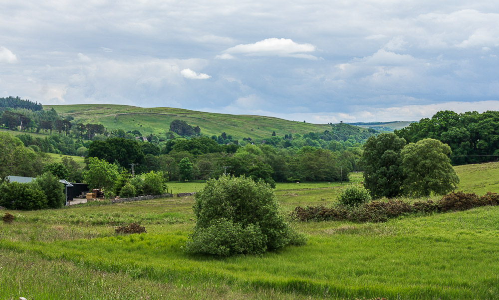
Looking back across Falstone in the direction of Donkley Woods and Kingsley Crag.
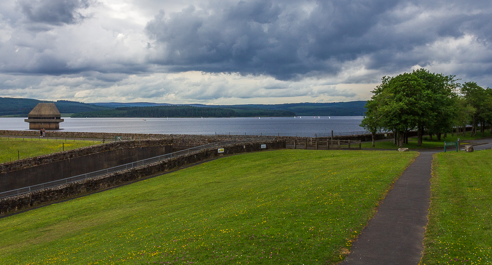
Having set off just after midday by the time the reservoir came into view we were ready for something to eat. The area around the memorial plaque to the opening of the reservoir provided both an excellent view and a suitable spot to sit down.
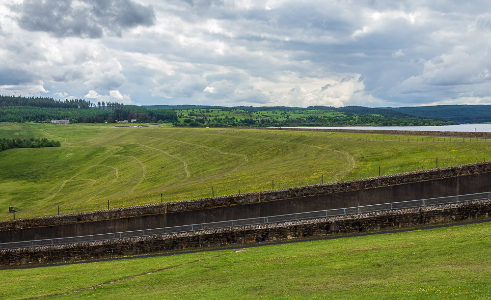
As we sat eating our lunch we could watch the cars travelling across the dam wall, although strangely no-one actually ventured from the car park to the memorial plaque.
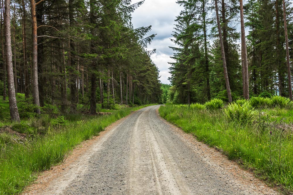
Suitably refreshed we headed off along the North Haul Road which took us further into the forest.

Although we weren't very far from the edge of the Kielder Water our view
of it was limited to the occasional glimpse when we reached a clearing.
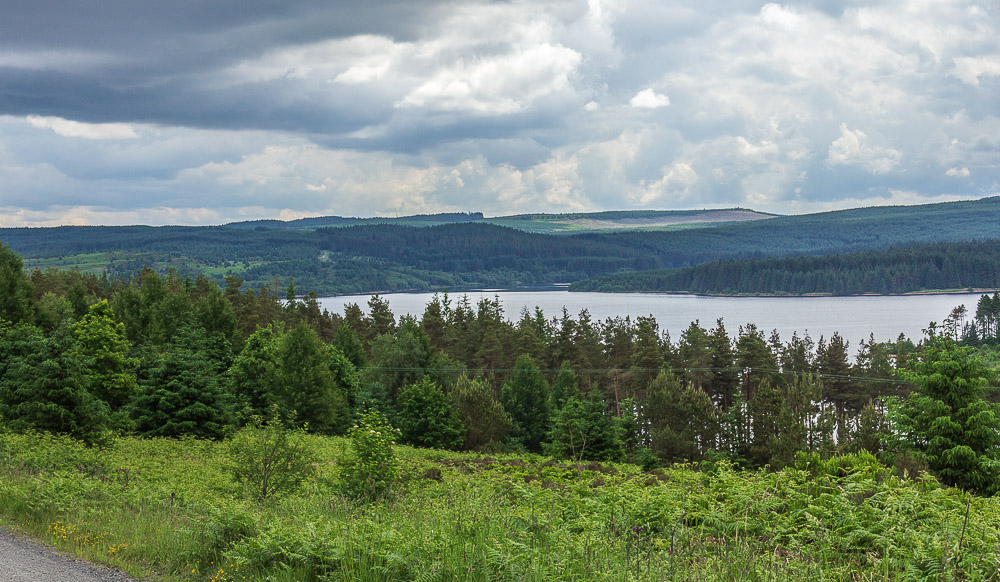
As we climbed higher the views started to open up, here looking across Kielder Water towards Black Knowe.

As the track starts to swing around to the left we leave it to head uphill towards Bellingburn Head.
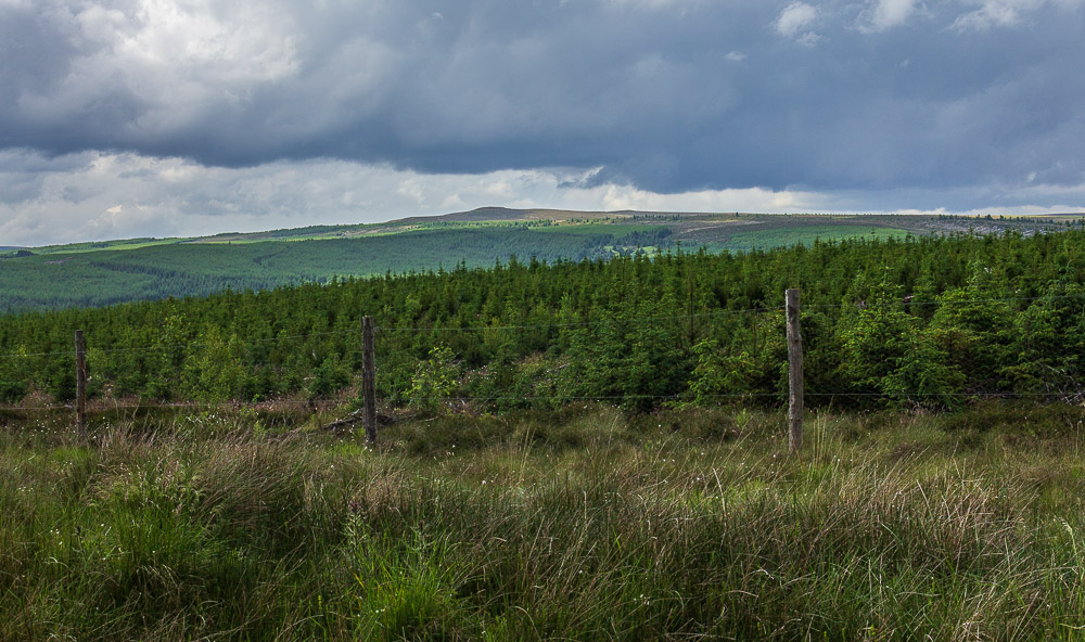
As we climb the summit of Deadwater Fell comes into view.
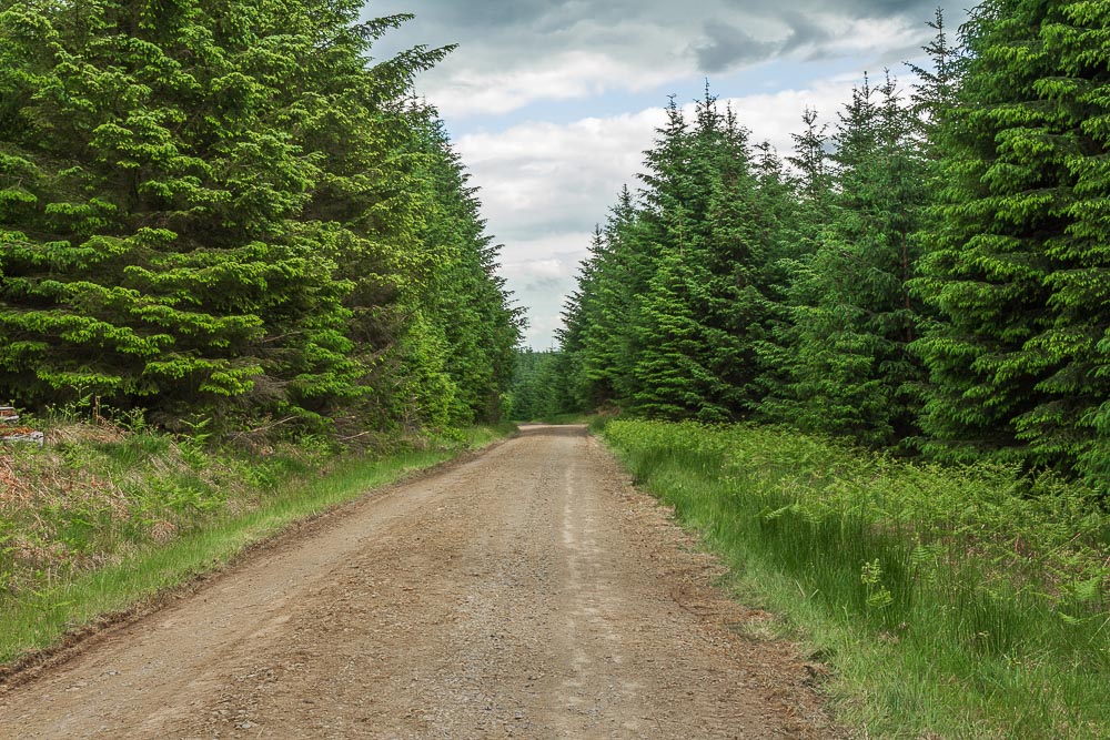
As the track starts to level out we begin to suspect that we have missed the point at which we should have started heading for Black Belling and High Hawkhope. This is soon confirmed when we reach the quarry at Crawberry Crag which helpfully had a grid reference on its sign.
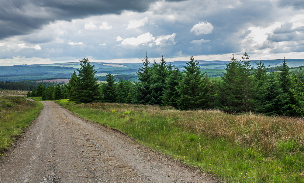
We retrace our steps and look out for the footpath we hoped to take to High Hawkhope. It appears that it was in area of the forest that had been cleared, but it certainly wasn't obvious. Rather than risk getting so far and then having to backtrack again we opt to go back the way we came. At least heading down we get to enjoy the views across Kielder Water towards Sighty Crag.
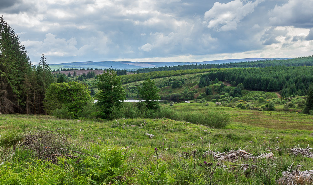
Whilst heading back down we had been looking out for a suitable spot to have a break, but it was only as we got back down to the edge of Kielder Water that one appeared. Sadly it also coincided with a short shower which then encouraged the midges to emerge.

Back on the North Haul Road it was time to head uphill again, at least keeping moving kept the midges away.
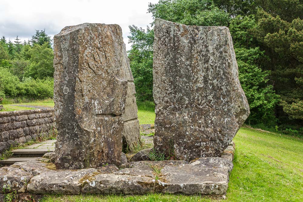
Back at the memorial plaque we have time to take a closer look at Waterstones, an anonymous sculpture that commemorates the place where the Queen opened the reservoir in 1982.
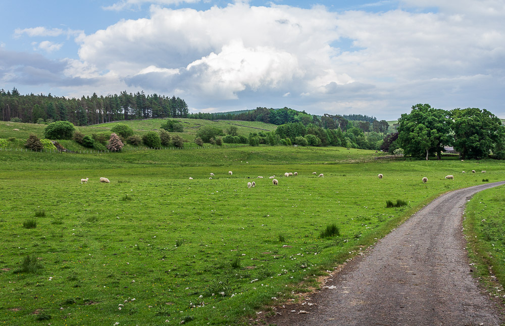
Rather than retrace our steps completly we make a small diversion and explore the other part of the Falstone Trail. It takes us downhill and across fields where we can look up at Hawkhope Hill.
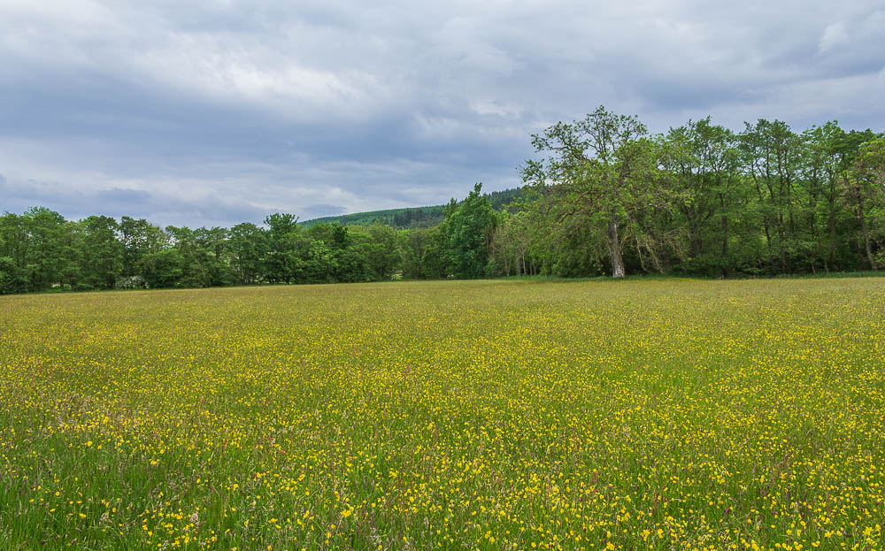
Following the Falstone Trail takes us through meadows full of wildflowers.
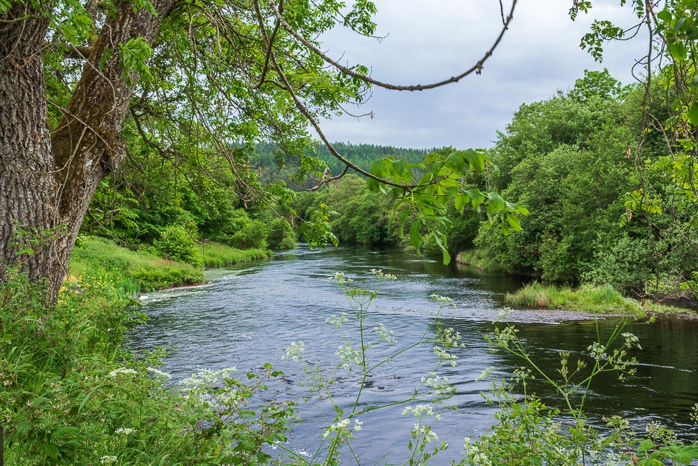
As we approach the edge of the village the path takes us next to the North Tyne, where thoughts turn to a refreshing pint before we complete the final mile back to the cottage. It wasn't to be and the last mile along the former railway track felt very long indeed.
All pictures copyright © Peak Walker 2006-2023