
Crook Hill - Peak District Walk
Friday 15th September 2023
At the start of the week Wednesday was forecast as the only dry day of the week, so when on Wednesday Friday was also predicted as a dry day John decided he wanted to join me for a walk. Building on his previous walk he wanted to do one of his favourite routes Win Hill, but rather than repeat the walk I had done last year we added Crook Hill to the route.
Start: Yorkshire Bridge Inn lay-by (SK 2015 8519)
Route: Yorkshire Bridge Inn lay-by - Parkin Clough - Win Hill (TP) - Thornhill Brink - Hope Brink - Hope Cross - Haggwater Bridge - Open Hagg - Bridge-end Pasture - Crook Hill - Ladybower Reservoir - Yorkshire Bridge Inn lay-by
Distance: 9.25 miles Ascent: 619 metres Time Taken: 6 hrs
Terrain: Clear paths
Weather: Warm and sunny
Pub Visited: The Yorkshire Bridge Inn near Bamford Ale Drunk: Bradfield Brewery, Farmers Ale
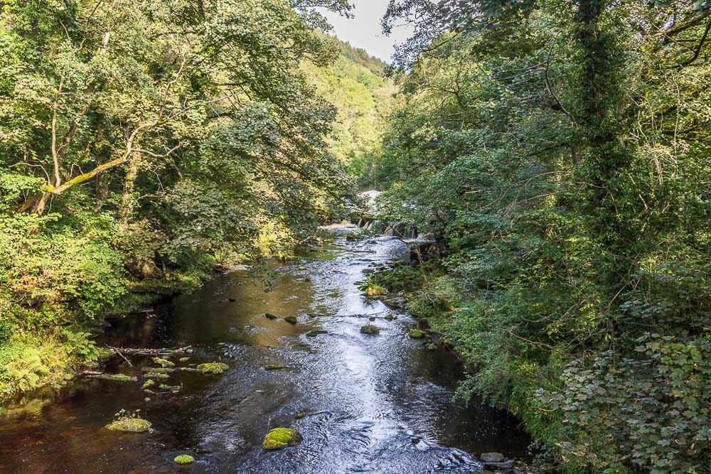
Having walked down the road from outside the Yorkshire Bridge Inn we cross the River Derwent before taking the footpath back towards the dam wall.
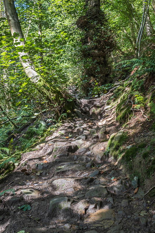
We make a slow but steady ascent up Parkin Clough. The trees make it
a very humid climb but at least it is fairly dry underfoot.
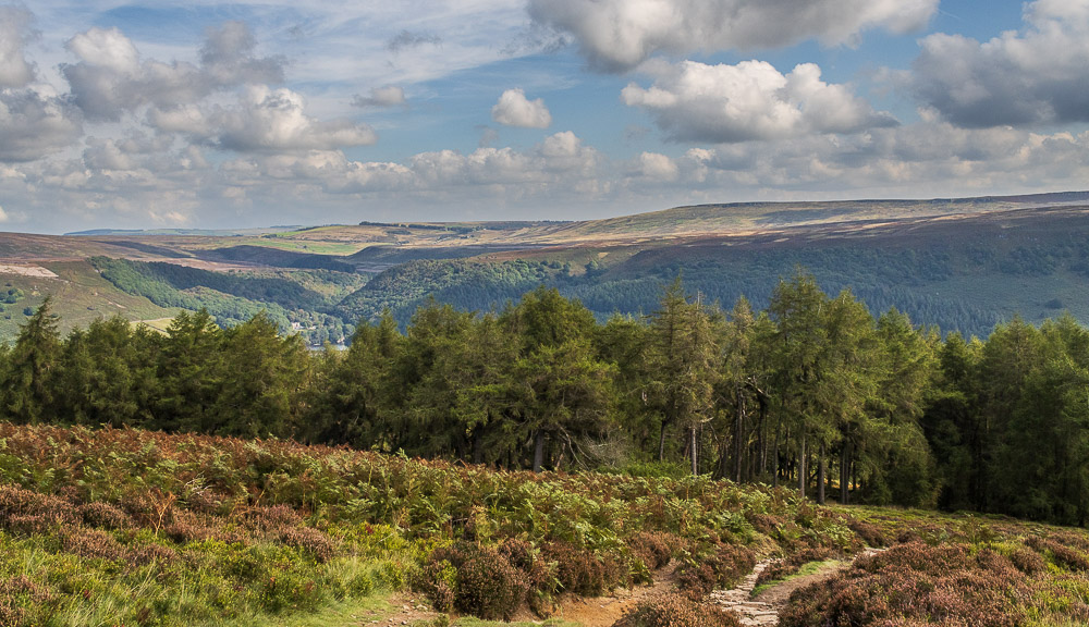
Having finally cleared the trees we can see Stanage Edge and the distant Ughill Moor.
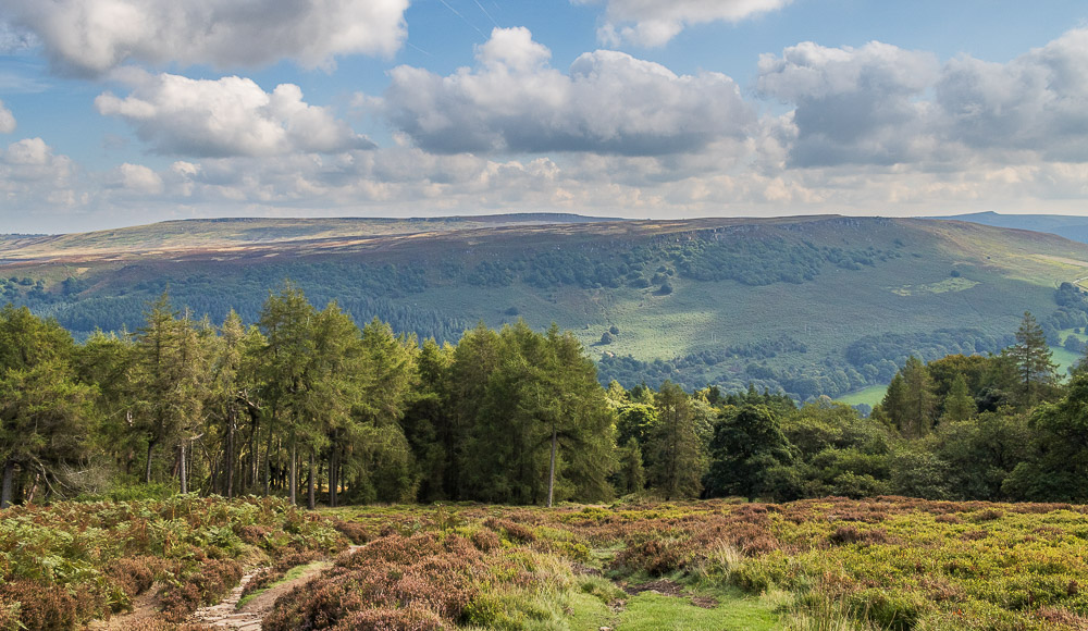
Along with Stanage Edge we can also see Bamford Edge and the outline of Higger Tor.
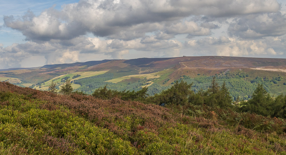
Derwent Edge, which if it hadn't have been for the CRoW closures of Derwent Moor we would have been walking along today.

We drag ourselves away from the views of the various edges and make our way up the remaining steps to the trig point on Winhill Pike.
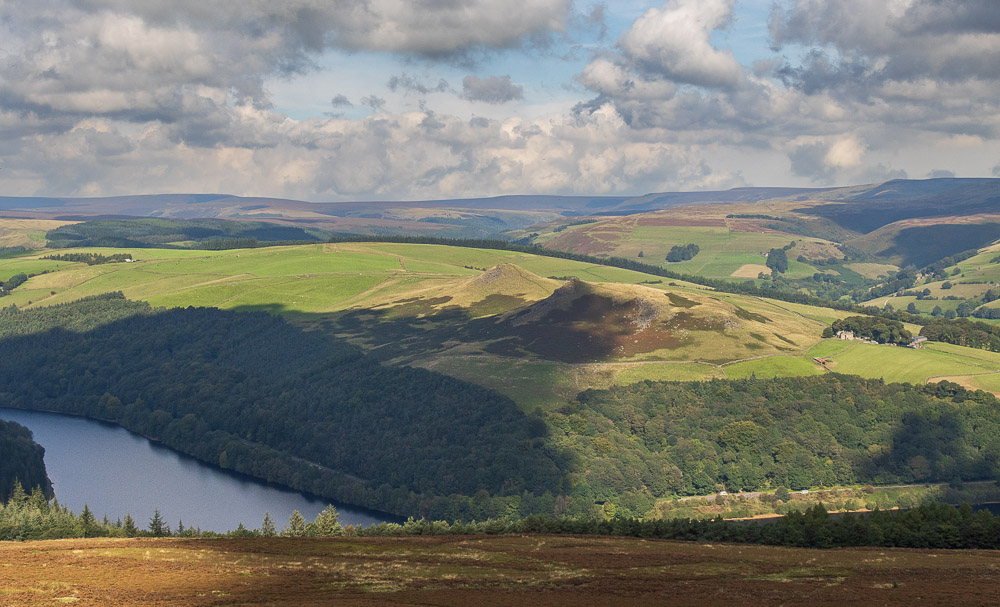
Looking down on Crook Hill from Win Hill.
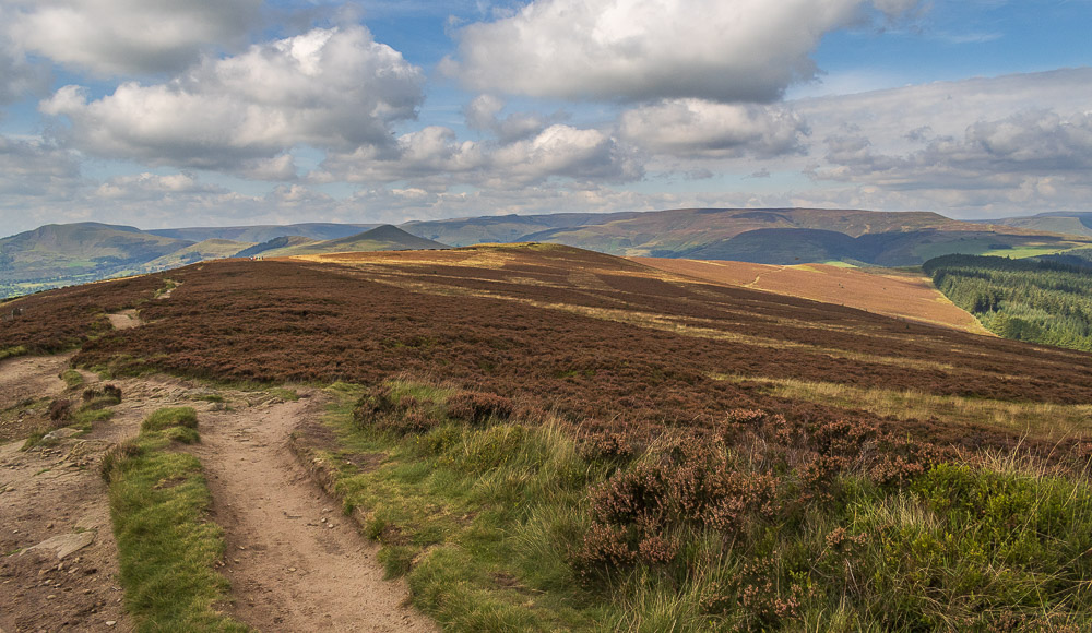
Heading along Thornhill Brink we get to enjoy the view of the Great Ridge as well as that of Kinder Plateau.
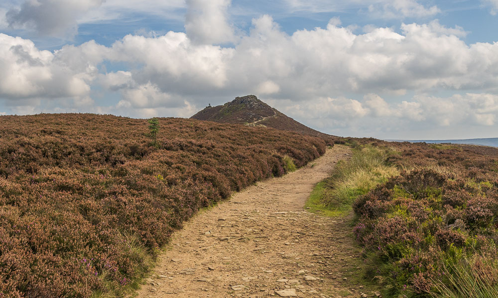
For once I remember to look back at Win Hill before I'm miles away from it.
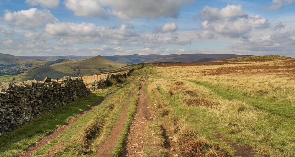
We make rapid progress along the dry path and as Lose Hill gets closer Grindslow Knoll on Kinder begins to be visible.
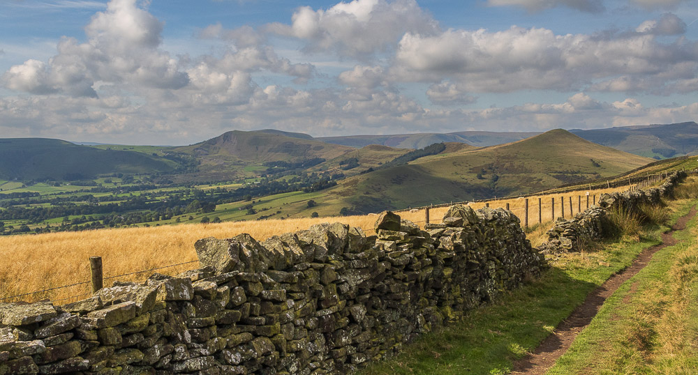
Looking along Hope Valley we are able to pick out the various named tops on the Great Ridge.
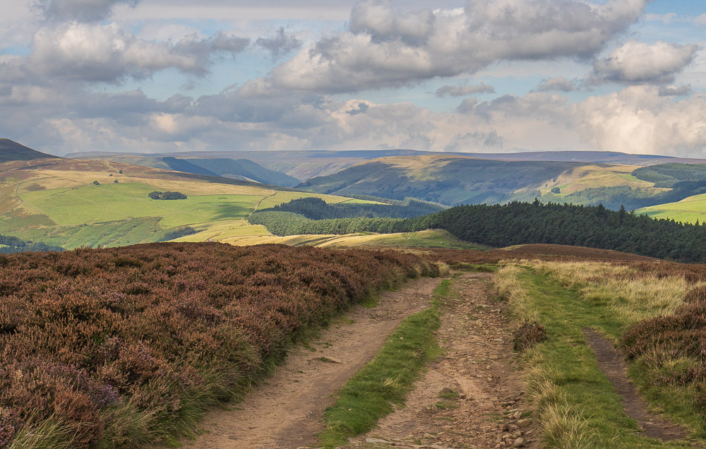
As we make our way along Hope Brink we can see Rowlee Pasture and Alport Dale on the other side of Snake Pass.
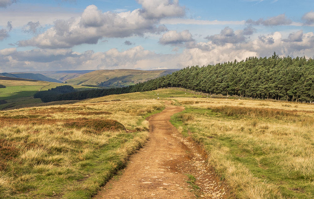
As we head along Hope Brink we debate which route we will take to Crook Hill, one option is to head for Rowlee Bridge and walk a small section of Rowlee Pasture.
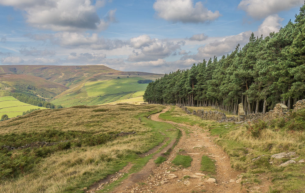
As Crookstone Knoll begins to dominate the view ahead we know we are close to our ideal lunch spot, let's hope it is free.
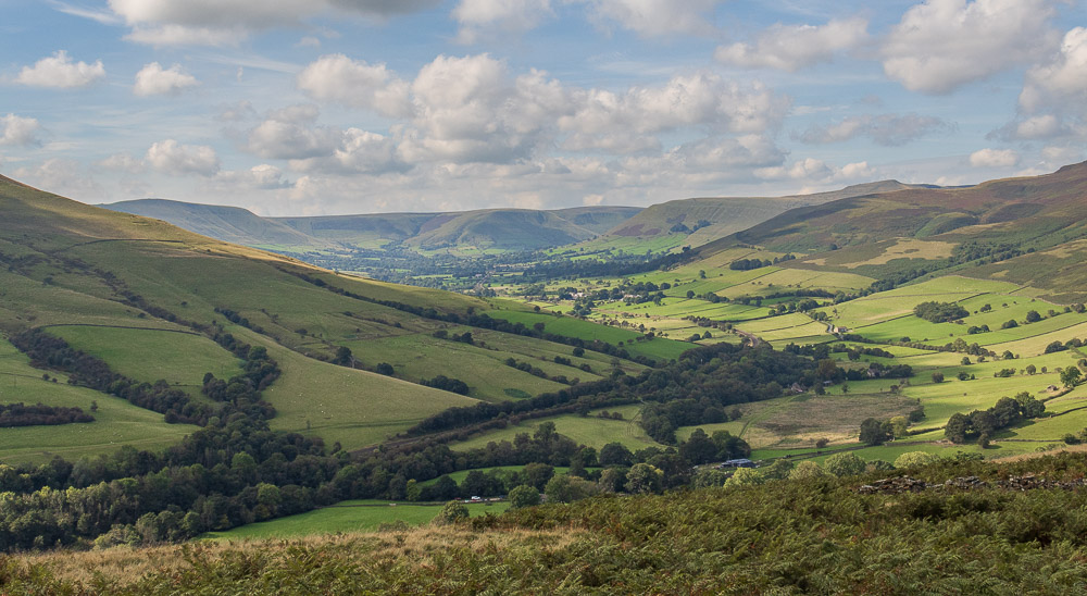
Views of Hope Valley are swapped for views along the Vale of Edale.
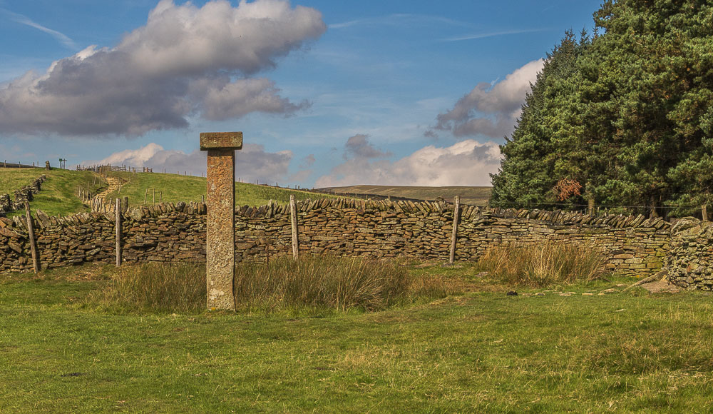
Hope Cross comes into view and even better our seat by the wall is free.
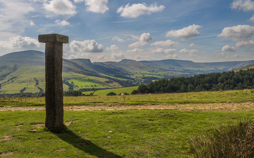
Lunch is spent taking in the view of the Great Ridge and the Vale of Edale.
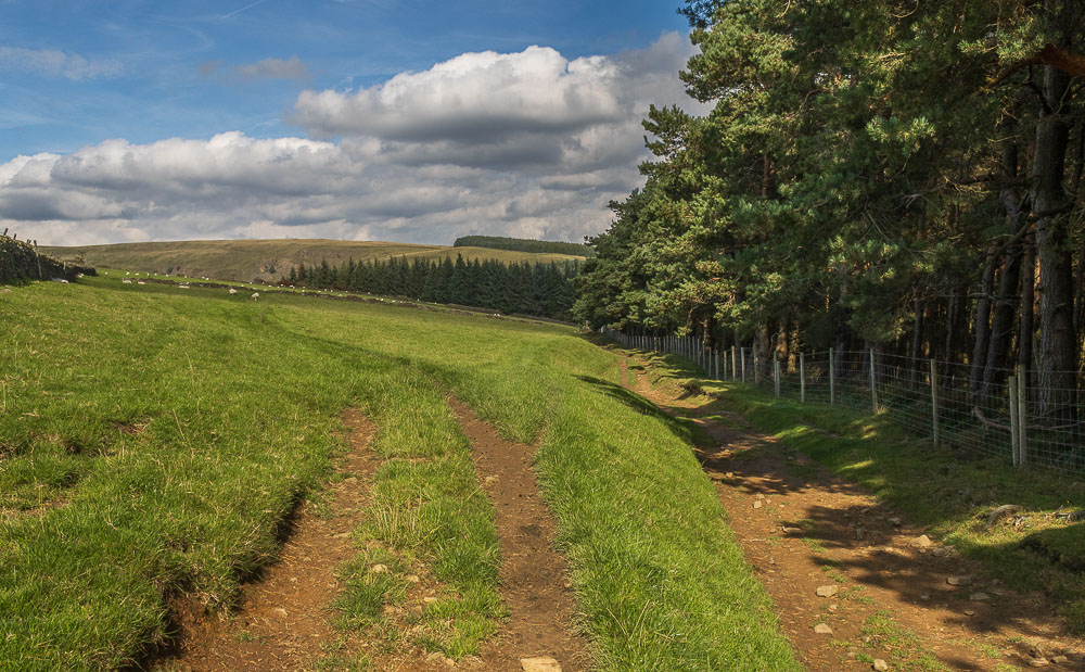
We opt against the longer route to Rowlee Bridge and instead save our legs a couple of miles by heading for Haggwater Bridge.
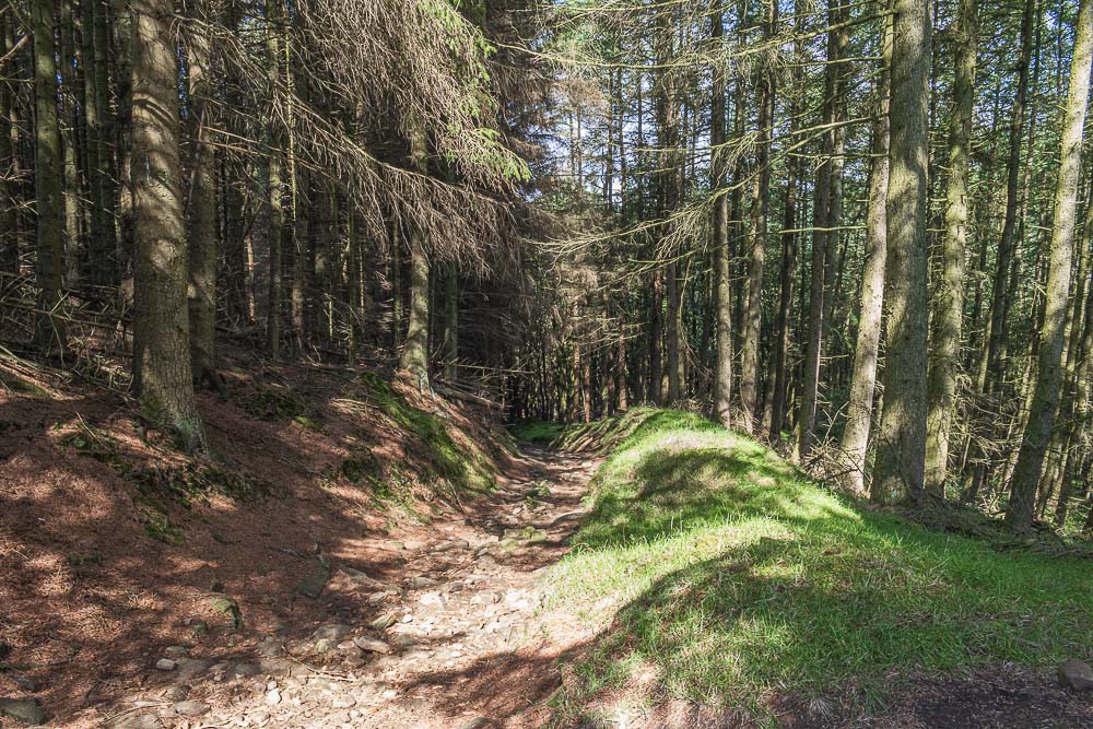
Heading down through the wood we enjoy the shade it now offers us.

As we leave the wood the track turns to mud and we indulge in a small bit of bog-hopping. Hopefully this winter will be full of walks and more bog-hopping.
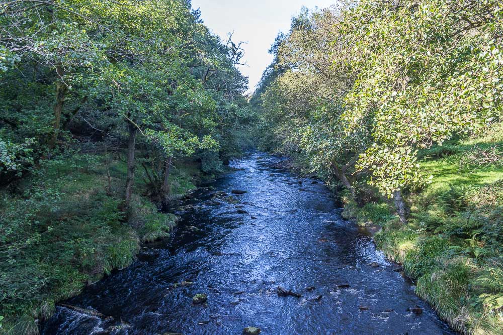
Haggwater Bridge takes us over the River Ashop and then we begin the second climb of the day.
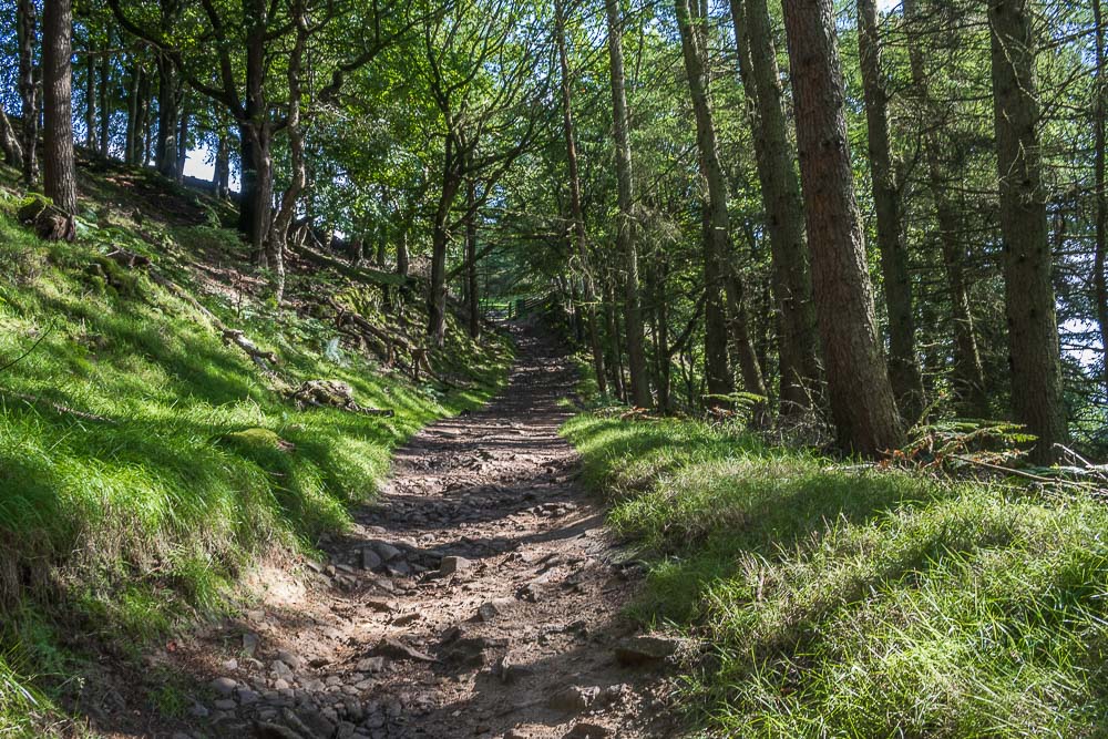
Having crossed the Snake Pass road the path zigzags its way up through Haggtor Coppice to the gate ahead.
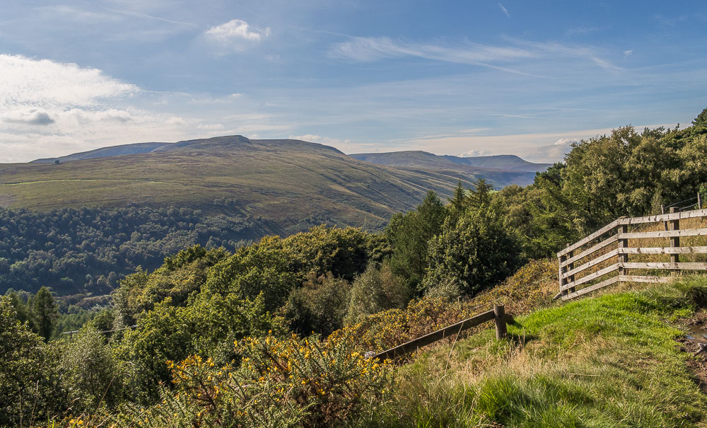
As the climb to Open Hagg ends we are able to enjoy a view of the eastern edge of Kinder stretching from Crookstone Knoll to Fairbrook Naze.
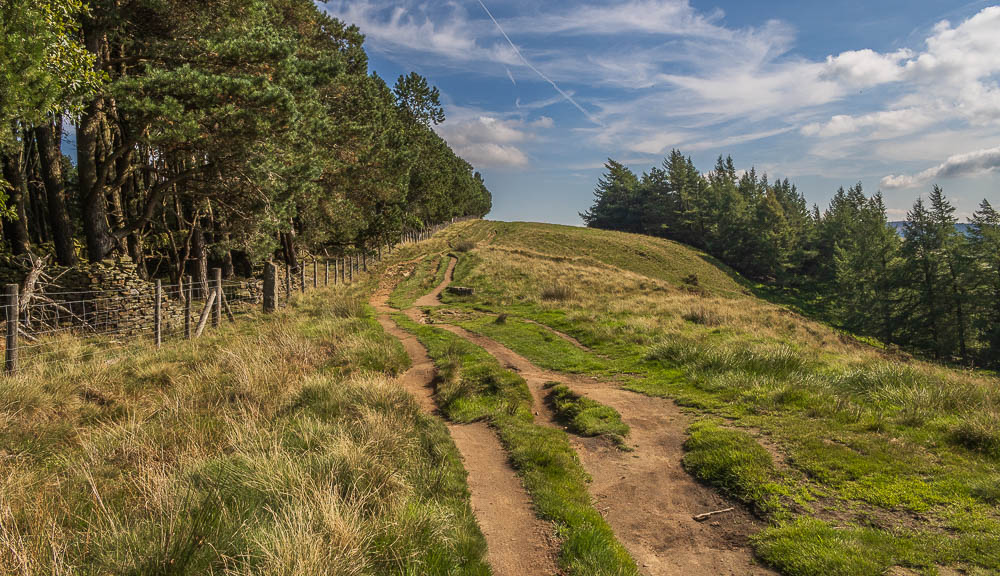
The route to Crook Hill is well signed and we follow the clear track across Open Hagg.
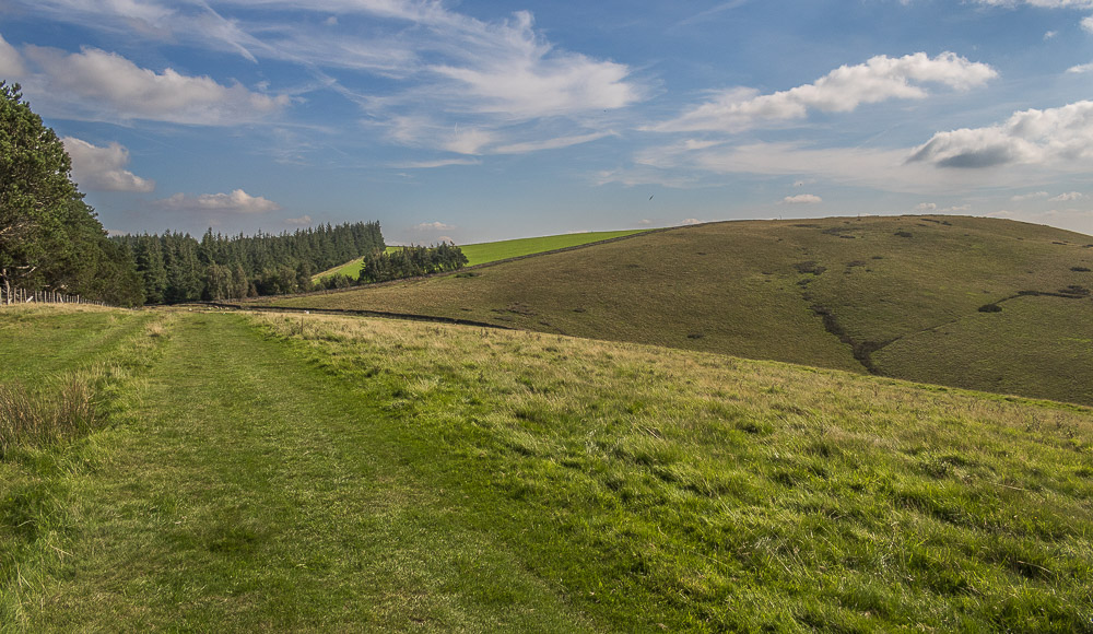
As we turn a slight corner Bridge-end Pasture comes into view.
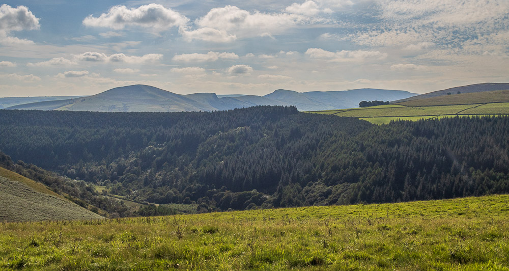
Walking along Bridge-end Pasture we are able to enjoy some long range views. Here looking across Woodlands Valley to the Great Ridge.
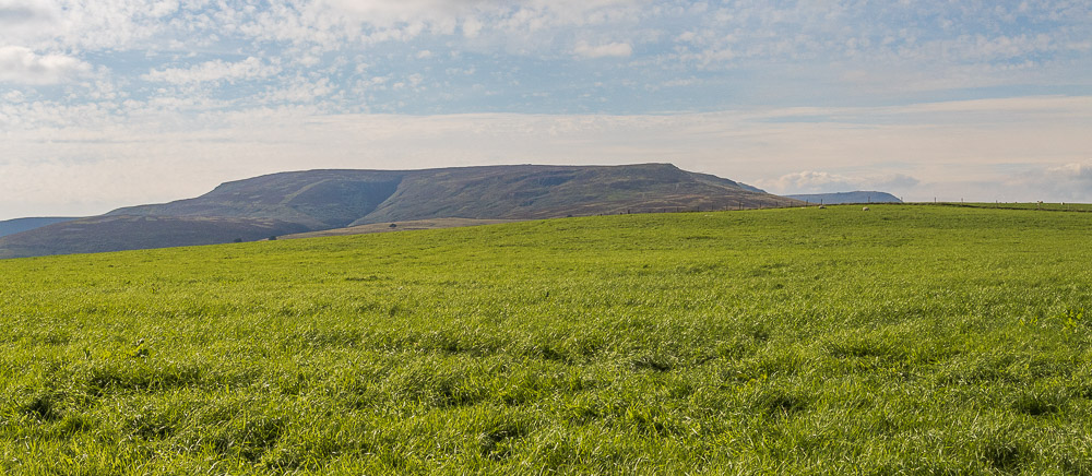
The southern edge of Kinder Scout is also visible.
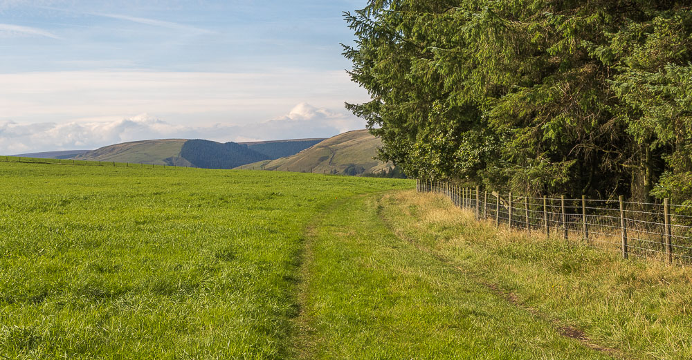
Looking back we can see the top of Alport Dale and Cowms Rocks.
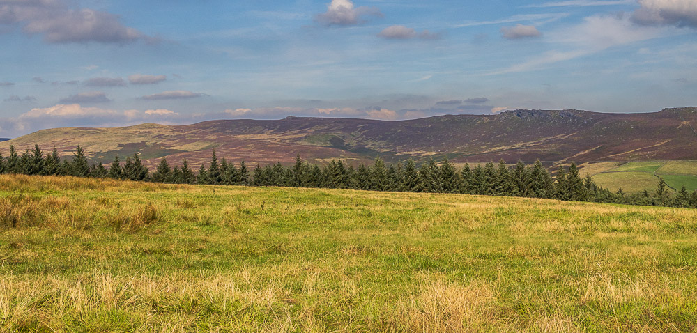
As we make our way across Bridge-end Pasture and move away from the trees Derwent and Howden Edges start to appear.
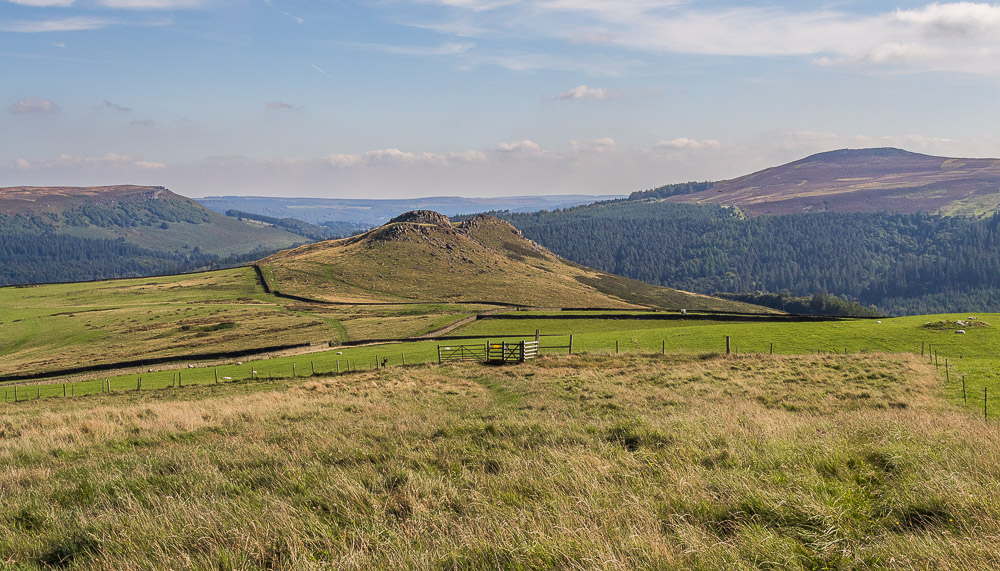
When we reach the brow of Bridge-end Pasture Crook Hill and Bamford Edge finally come into view.
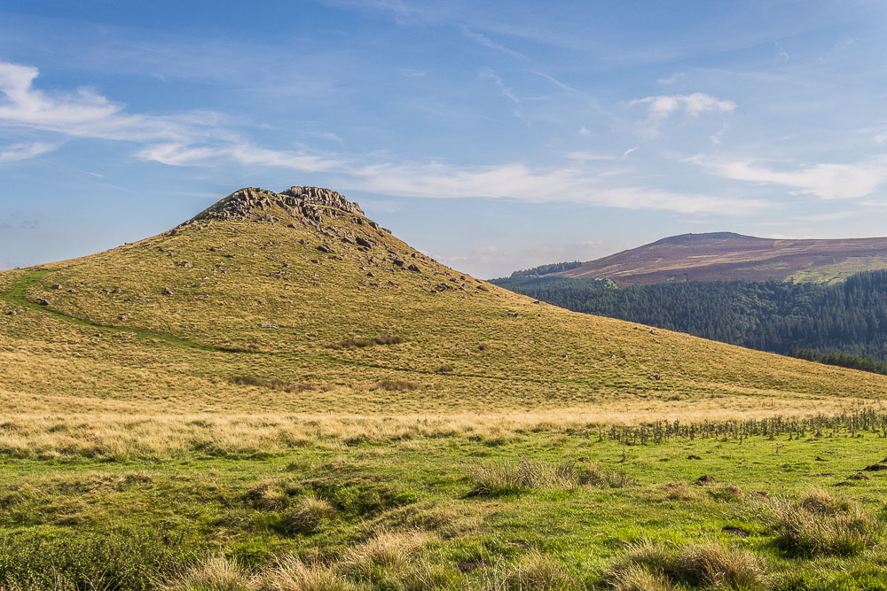
Having located the gate that gives us access to Crook Hill we take the path leading up the shoulder of the hill and enjoy an easy scramble through the rocks to reach the summit of the highest of the two tops.
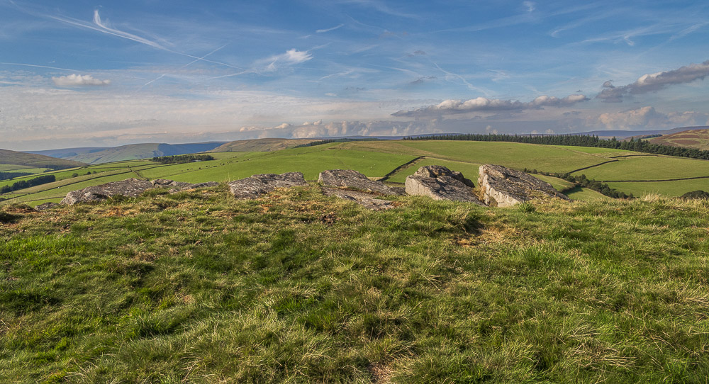
Looking across Bridge-end Pasture from the summit of Crook Hill.
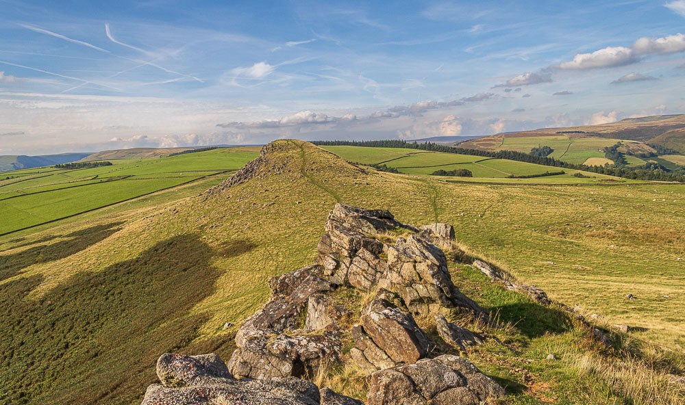
Having scrambled up through the rocks we then discover there was a path up the back of the hill we could have used.
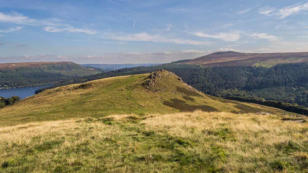
Having done the first hill we make the easy walk between the two tops to the second hill.
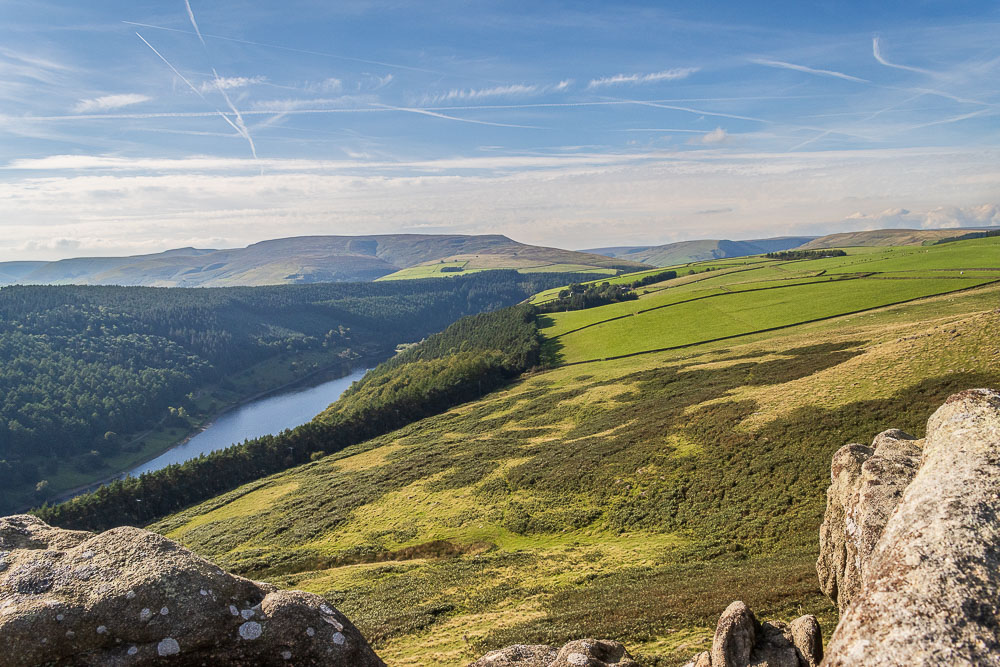
I think the view from the lower top is slightly better as you can look along Woodlands Valley and enjoy this view of Ladybower Reservoir, whilst still having the long range views of the other top.
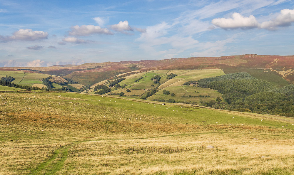
Before we head for the farm and the road we enjoy a short break below the summit of Crook Hill taking in the view of Derwent Edge, Howden Edge and the distant Howden Moors.
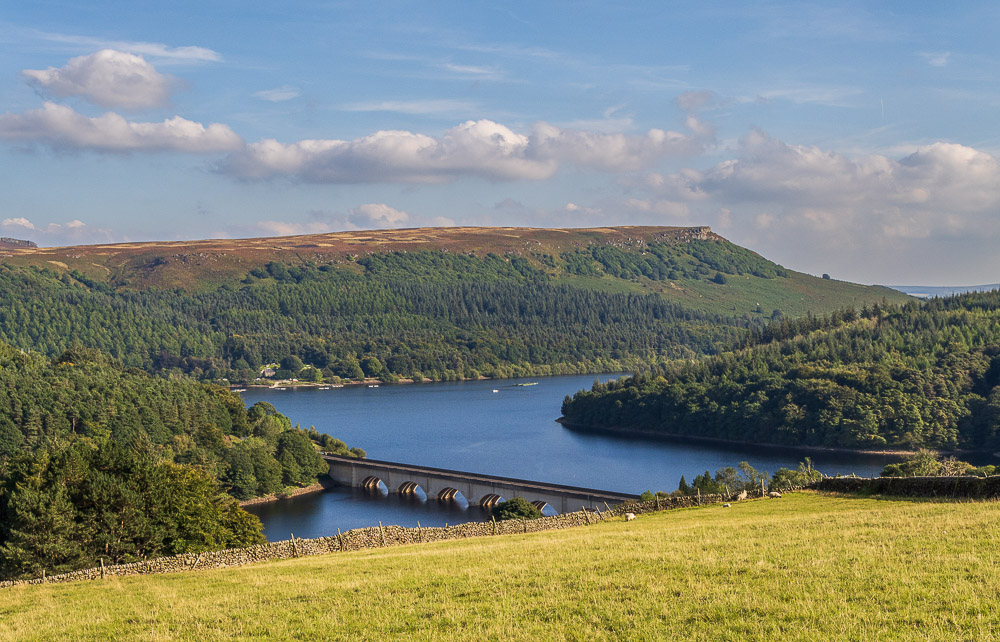
The route around the farm has been slightly amended to that on the map but the descent to the road still gives one of the best views of Bamford Edge available.
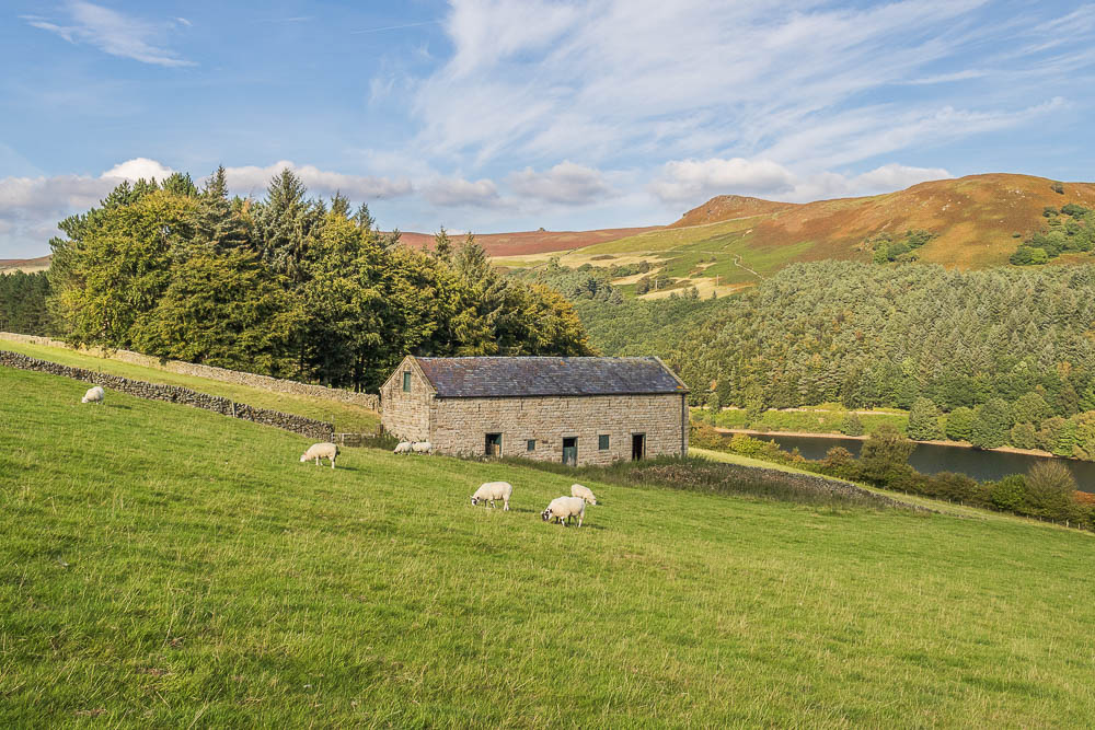
As we approach the road we can look across to Whinstone Lee Tor and the Wheelstones.
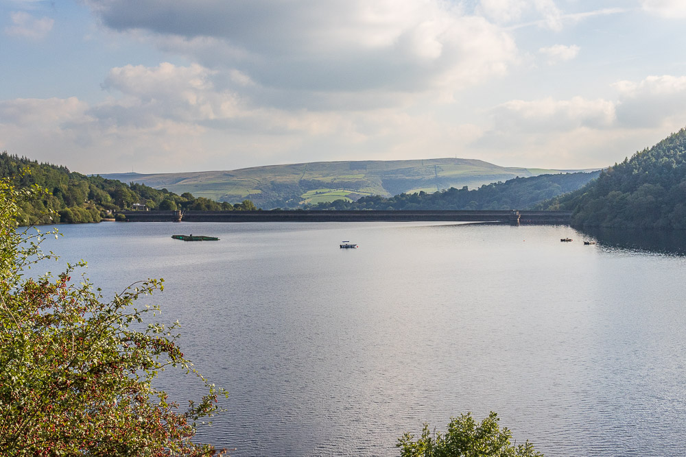
All that remains is to make the long trek around Ladybower Reservoir back to the car and a pint in the Yorkshire Bridge Inn.
All pictures copyright © Peak Walker 2006-2023