
Black Rocks - Peak District Walk
Wednesday 4th January 2006
Today's walk was closer to home as I decided to walk to Black Rocks a local 'attraction' I'd never been to in the 10 years I had lived in Derbyshire. I also took the opportunity to take in a previously unvisited section of the High Peak Trail. The mist meant there were no great views and I never seemed to get away from civilisation but nevertheless it was nice to be out.
Start: Car park at Carsington Water (SK 2480 5275)
Route: Carsington Water - Carsington - Hopton - Wirksworth - Bolehill (TP) - Black Rocks - High Peak Trail (Middleton Top) - Carsington Pasture - Carsington - Carsington Water
Distance: 8.5 miles Ascent: 465 metres Time Taken: 4 hrs 30 mins
Weather: Dull, overcast and at times misty.
Pub Visited: None Ale Drunk: None
Carsington Water is just visible in the distance as the mist starts to descend.
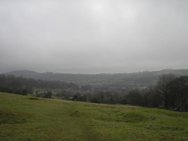
Over the brow of the hill and
Wirksworth comes into view. The television mast in the
distant left of the
picture shows where Black Rocks is.
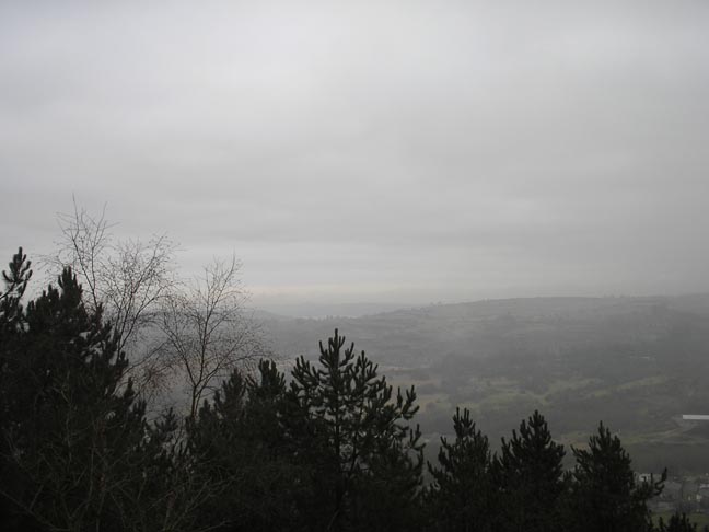
Carsington Water is barely visible in the
distance from Black Rocks' trig
point as the mist blows across the valley
below.
Looking back up the path to Black Rocks' trig point.
Black Rocks
The National Stone Centre from the High Peak Trail.
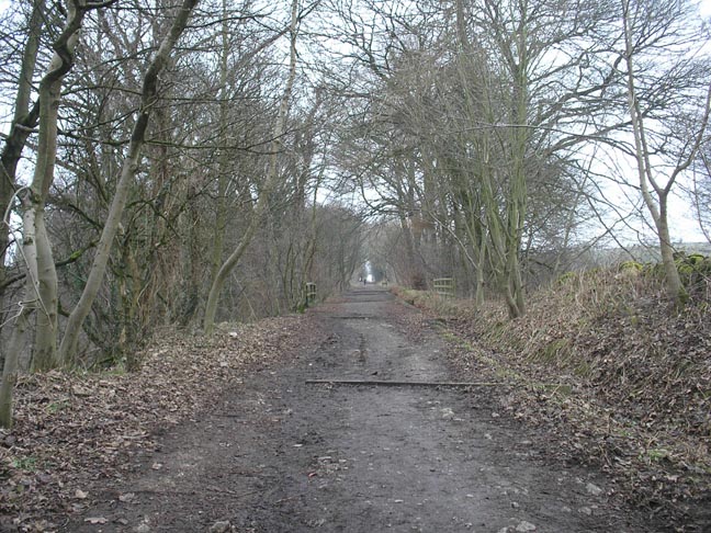
A wintry view of the High Peak Trail.
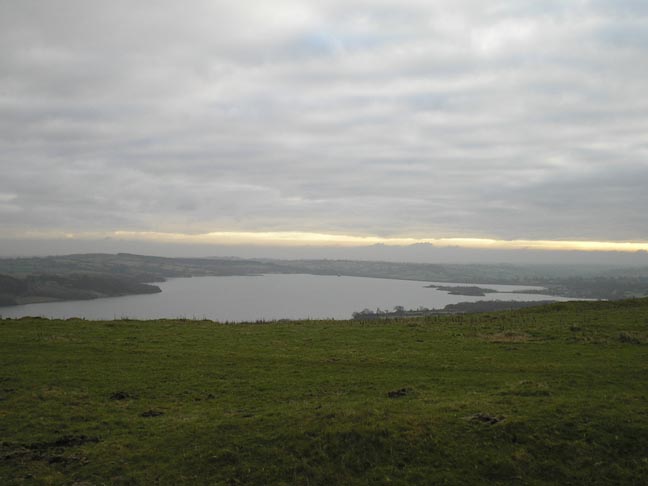
The sun finally breaks through the clouds as Carsington Water comes into view again.
The rocks known as King's Chair at Carsington Pastures.
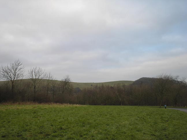
King's Chair is the speck on the horizon, from the car park.
One of several pieces of art that can be seen at Carsington Water.
All pictures copyright © Peak Walker 2006-2023