
Wolfscote Dale - Peak District Walk
Wednesday 24th May 2006
A short evening walk alongside the river Dove and returning on a stretch of the Tissington Trail not visited before. After all the rain in the morning it was a pleasant surprise to be walking under blue sky with evening sunshine keeping us warm, although as the sun started to fade there was a cold chill to the air.
Start: Alsop Station car park (SK 156 549)
Route: Alsop Station car park - Wolfscote Dale - Coldeaton Bridge - Tissington Trail - Alsop Station car park
Distance: 3.75 miles Ascent: 196 metres Time Taken: 1 hr 50 mins
Weather: Warm, blue sky with high cloud.
Pub Visited: Sycamore Inn, Parwich Ale Drunk: Ward's Best Bitter
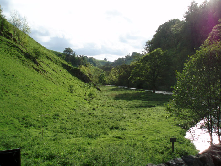
Looking down Mill Dale.

The bridge which carries the road to Milldale over the river Dove and at which we turned into Wolfscote Dale.
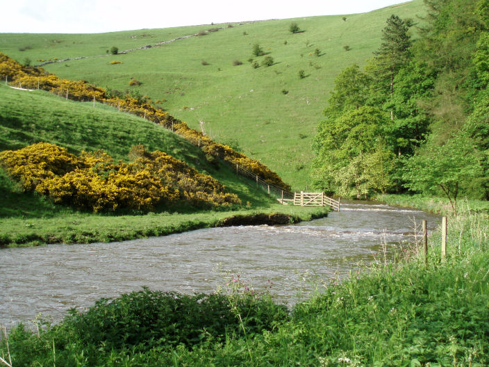
Wolfscote Dale.
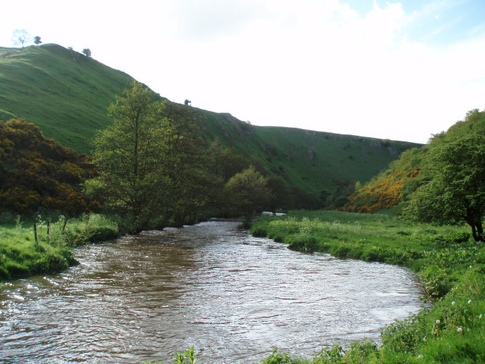
The river Dove in Wolfscote Dale, at places it appeared to have recently burst its banks.
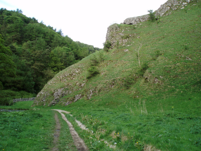
Approaching Coldeaton Bridge with the dale we were about to take on the right.
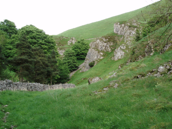
Heading up the unnamed dale.
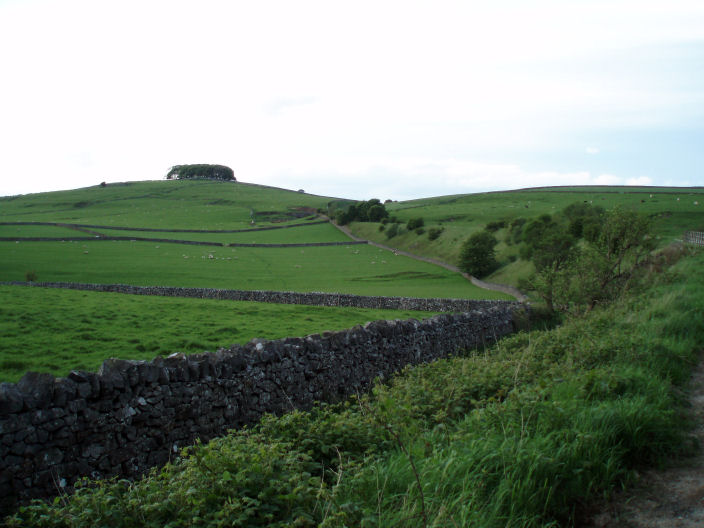
Johnson's Knoll from where we joined the Tissington Trail.
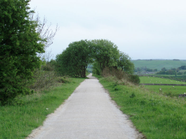
The Tissington Trail.
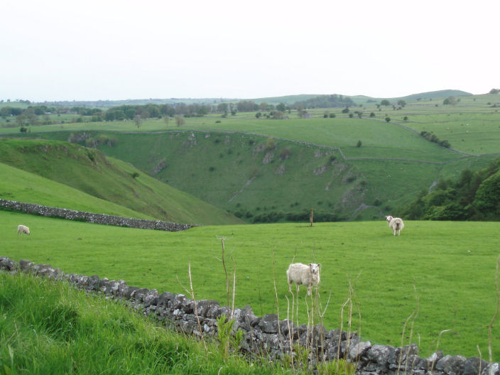
Looking across Bradbury's Gate to the unnamed dale from the Tissington Trail.
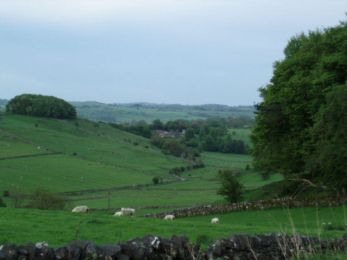
The hamlet of Alsop en le Dale from the Tissington Trail.
All pictures copyright © Peak Walker 2006-2023