
Dish Stone Rocks - Peak District Walk
Sunday 4th June 2006
An overcast day that saw me exploring another new section of the Peak District and in the process missing out on bagging 2 more county tops because I didn't check my lists before I set out and only realised how close I was to them once I got home.
Start: Crowden car park (SK 073 993)
Route: Crowden - Laddow Rocks - Chew Reservoir - Chew Hurdles - Ormes Moor - Ogden Clough - Tintwistle - Padfield - Longdendale Trail - Torside Reservoir - Crowden
Distance: 12 miles Ascent: 673 metres Time Taken: 6 hrs 20 mins
Weather: Cloudy for most of the day but very warm
Pub Visited: The Royal Hotel, Hayfield Ale Drunk: St Georges Brewery, Legend
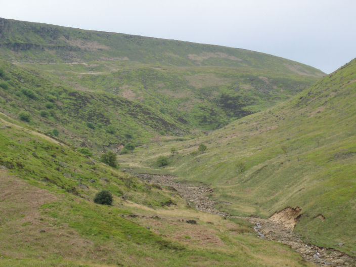
Looking up towards Laddow Rocks (on the left) along the start of day two of the Pennine Way.
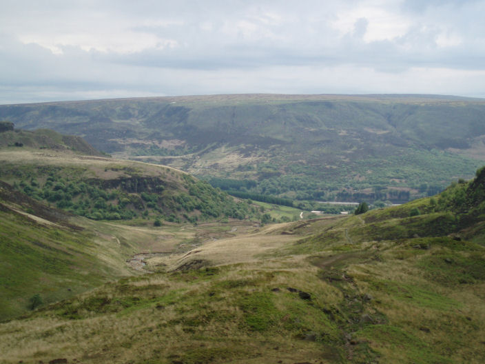
Looking back towards Crowden with Bleaklow behind a barely visible Torside Reservoir.
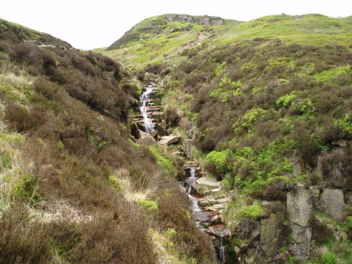
Oaken Clough Brook.
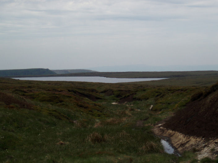
Looking across Laddow Moss to Chew Reservoir.
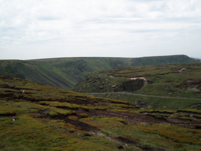
The feature at the far end on the left is called Stable Stone Brow.
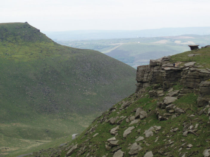
Dish Stone Rocks are on the right.
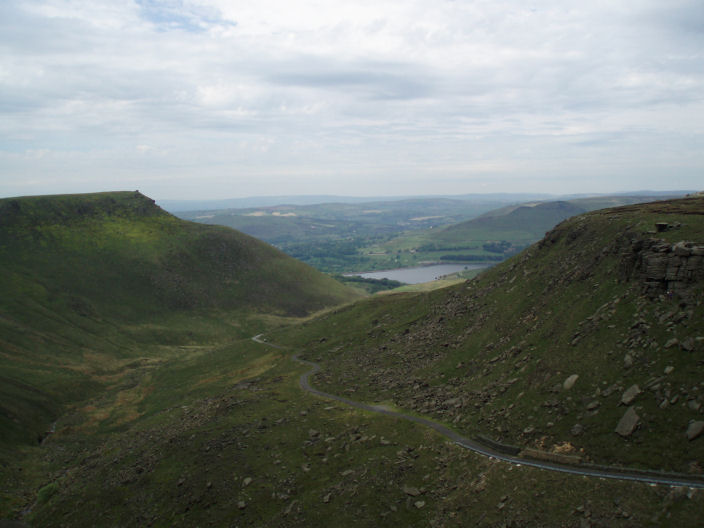
As you walk further along Dovestone Reservoir comes into view.
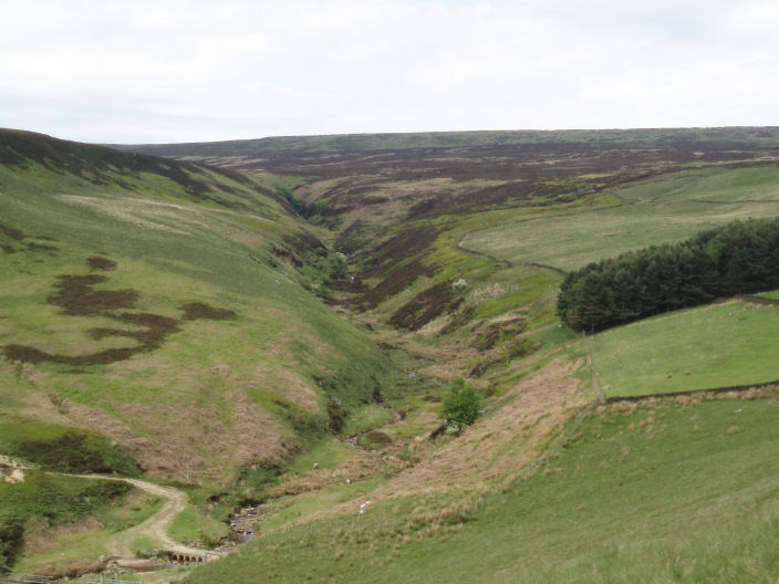
Ogden Clough with Arnfield Flats on the right.
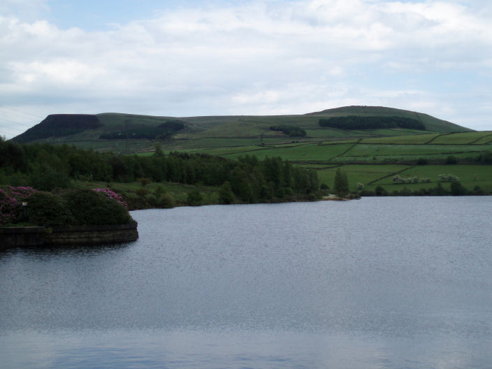
Tintwistle Moor across Bottoms Reservoir, from the Longdendale Trail.
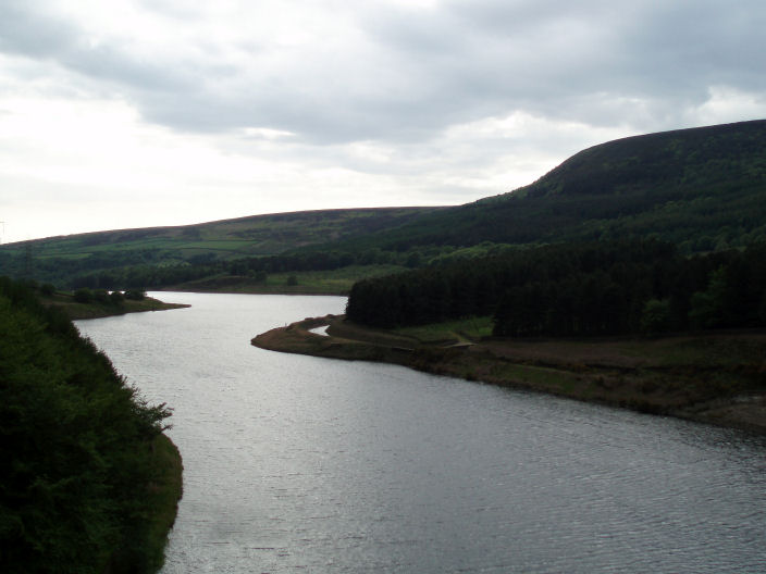
Looking back at Rhodeswood Reservoir as the Pennine Way crosses Torside Reservoir's dam wall.
All pictures copyright © Peak Walker 2006-2023