
Combs Edge - Peak District Walk
Tuesday 15th August 2006
A walk to a previously unvisited moor on a grey day with the cloud hugging the top of the distant hills for most of the day. Until the introduction of Access Land this moor had been out of bounds to the public so I wasn't sure what to expect with regards to paths and terrain so I went with a Plan A & B. As it turned out there is a faint and overgrown path around the edge but cutting across Comb Moss (Plan A) would have been an ankle breaking experience so Plan B came into play. In a few more years I'm sure this moor will be criss-crossed with paths as its location means that the views (even on a grey day) extend as far as Kinder Scout on one side and across the Goyt Valley to the Cat and Fiddle on the other side.
Start: Bunsal Cob car park (SK 0195 7580)
Route: Bunsal Cob car park - Midshires Way - Combs Edge - Castle Naze - Hob Tor - Black Edge - Flint Clough - Midshires Way - Bunsal Cob car park
Distance: 10.75 miles Ascent: 577 metres Time Taken: 6 hrs 10 mins
Weather: Overcast and dull for most of the walk, brightening up during the afternoon.
Pub Visited: None Ale Drunk: None
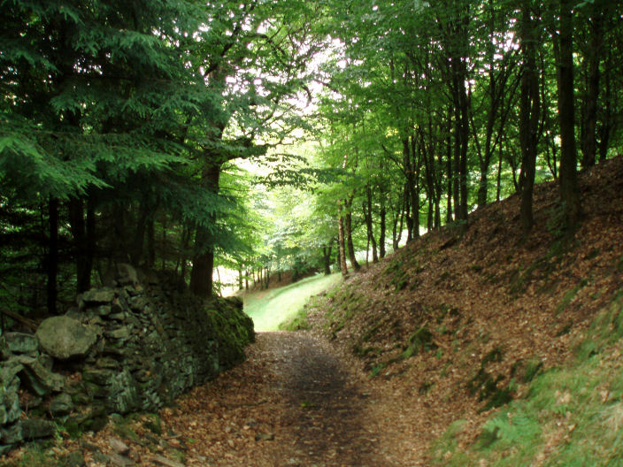
The walk started and finished with a walk through one of the many woods in the Goyt Valley.

As I climbed out of the Goyt Valley Stake Side and Shining Tor (in cloud) came into view.

My first view of Combs Moss. I was going to head out along the left-hand side
and return along the right-hand side of the moor.

Looking towards Combs Edge from the path I followed onto Combs Moss.

This building is at the point where the path I followed gains the top of the moor, making it a good marker for finding
the route back down. In the background the Tors are now clear of cloud.

Combs Edge from the promontory above Allstone Lee Farm.

Combs Edge from the promontory with Castle Naze on it.

The two ramparts of the hill fort Castle Naze.

Combs Reservoir from Castle Naze.

Mount Famine with Kinder Scout emerging from the cloud in the background.

Combs Moss trig surrounded by heather, Mount Famine in the background.
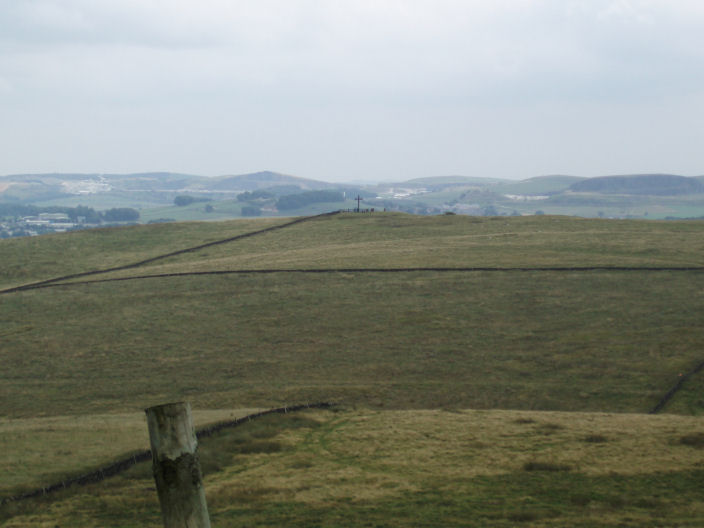
A cross, an usual sight in this country, from the point on the moor above Moss House Farm.

Looking across Combs Moss.

Errwood Reservoir with Shining Tor now clear of cloud.
All pictures copyright © Peak Walker 2006-2023