
Lose Hill - Peak District Walk
Monday 13th November 2006
As soon as I got out of the car at the car park I suspected that my day wasn't going to go as planned but having taken so long to get to Hope I wasn't about to give up on the walk without at least giving it a go. Once I got onto the top of Lose Hill the winds picked up and I really didn't fancy trying to get across the ridge to Mam Tor in those conditions so it was a case of turning back and heading for home, after all the ridge will be there for another day.
Start: Hope car park (SK 1712 8350)
Route: Hope - Townhead - Lose Hill - Towhead - Hope
Distance: 4 miles Ascent: 320 metres Time Taken: 2 hrs
Weather: Strong winds but warm when out of the wind.
Pub Visited: None Ale Drunk: None
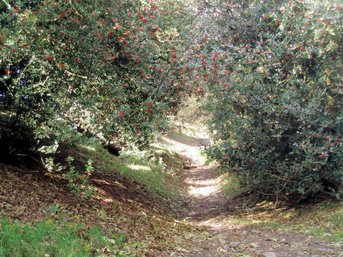
Colourful holly bushes greeted me as I started up the footpath to Lose Hill.
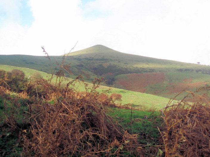
The first clear look at Lose Hill. As I was getting ready to take this picture two people were descending
from the top. I began to suspect that the wind was going to get worse.
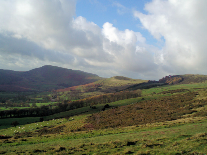
Looking across to Mam Tor and the ridge I planned to walk today.
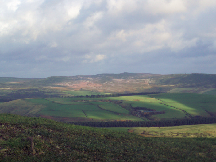
Back Tor and Margery Hill are the distinct points on the ridge. Taken from the top of Lose Hill, the only way to keep
the camera still was to place it on the toposcope
and hold on tight as standing was proving difficult.
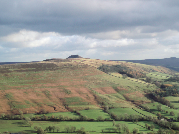
Win Hill taken from Lose Hill.
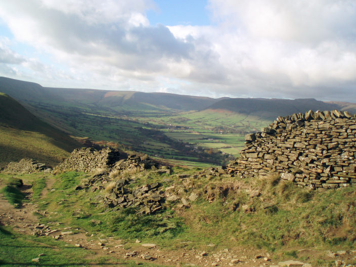
The Vale of Edale. Dropping down from Lose Hill the wall offered a little protection from the increasingly strong
wind,
time to turn round, take advantage of the protection of Lose Hill and head for home.
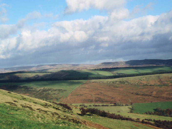
Derwent and Howden Edges from the ridge down from Lose Hill.
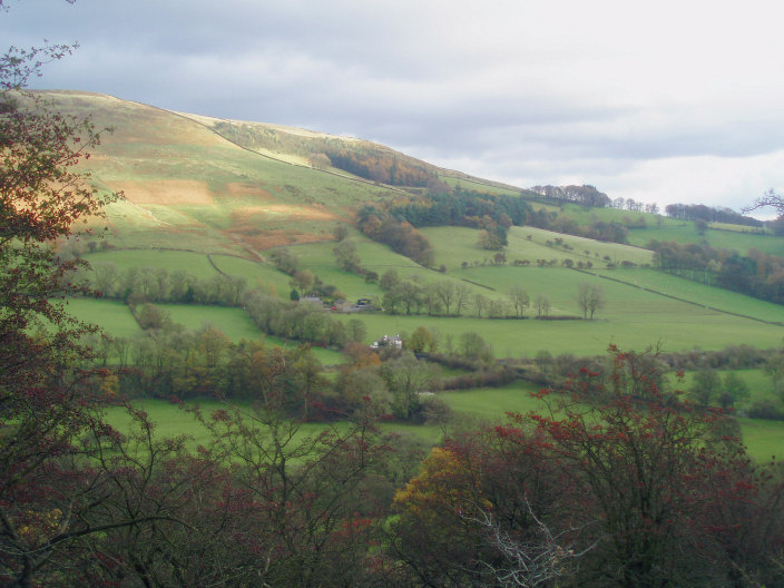
Hope Brink and a few autumn colours on the fairly bare trees.
All pictures copyright © Peak Walker 2006-2023