
Mam Tor - Peak District Walk
Saturday 3rd February 2007
A warm winter's day with no wind and a cloudless sky meant that we were joined by what felt like the whole of Derbyshire for a walk along the Mam Tor ridge. If you can, this is a walk to do during the week when it is much quieter but as this is one of John's favourite walks this time we had to join the crowds on the ridge on a day when the conditions for walking don't get much better than this.
Start: Castleton car park (SK 1493 8301)
Route: Castleton car park - Hope - Lose Hill - Back Tor - Hollins Cross - Mam Tor (TP) - Cave Dale - Castleton car park
Distance: 9.25 miles Ascent: 539 metres Time Taken: 5 hrs 30 mins
Weather: Blue sky, sunshine, warm with no wind.
Pub Visited: The Castle, Castleton Ale Drunk: Charles Wells Bombardier
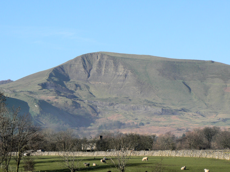
Mam Tor from the road to Hope.
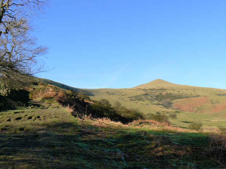
Lose Hill.
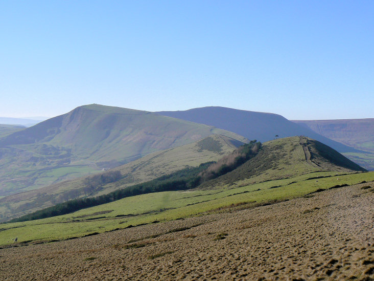
Looking along the ridge to Mam Tor from the climb to Lose Hill.
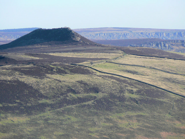
Win Hill with Bamford Edge and Stanage Edge behind it.
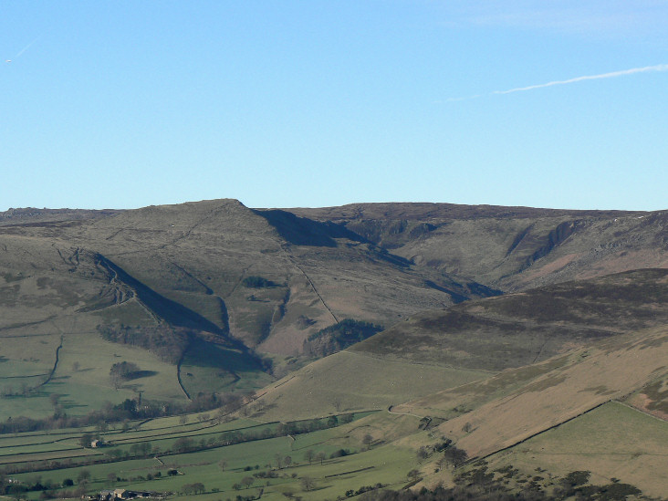
Grindslow Knoll from Lose Hill.
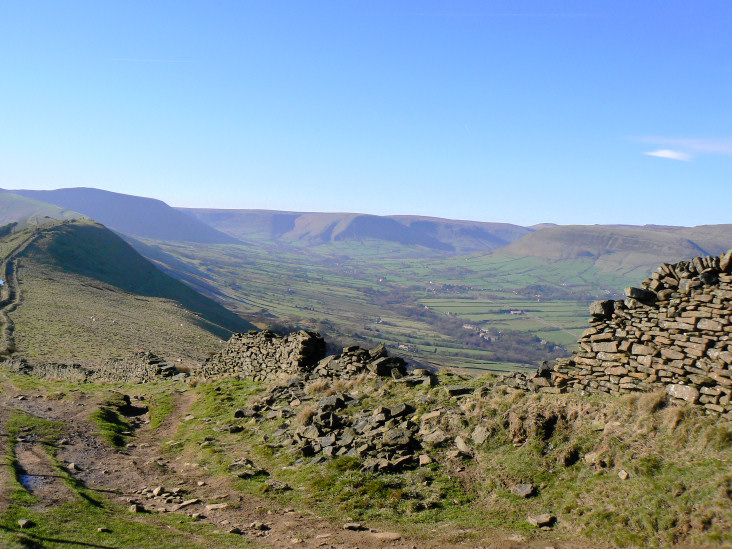
The Vale of Edale.
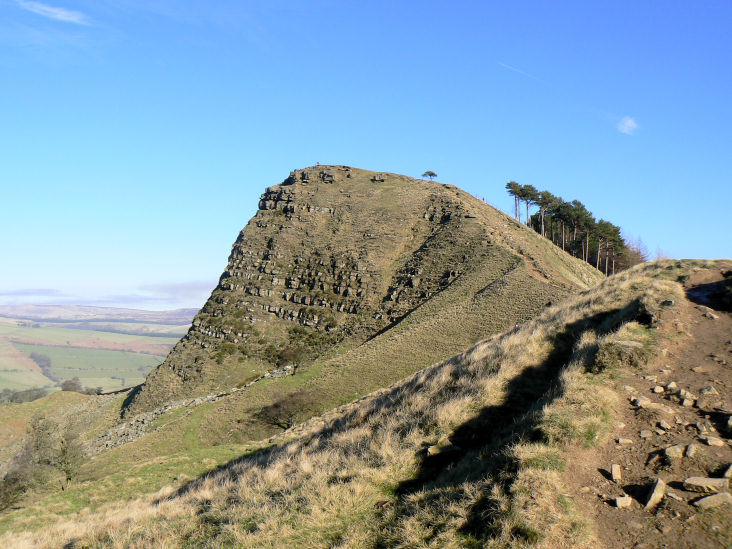
Back Tor.
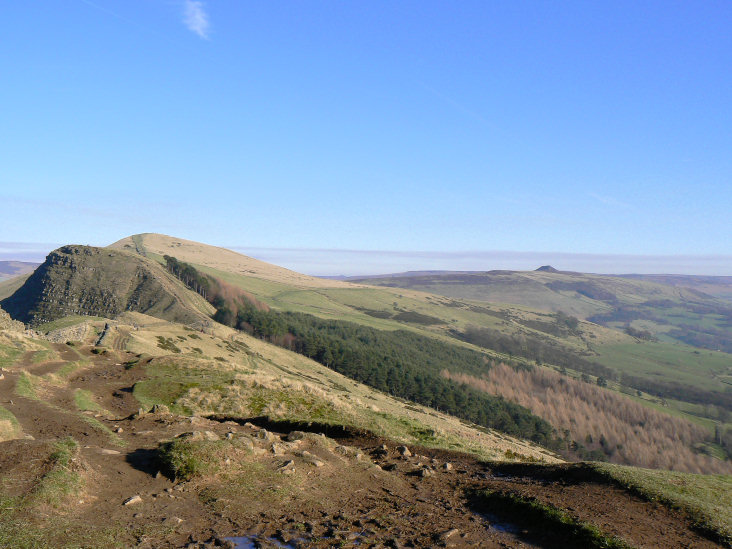
Back Tor, Lose Hill and in the distance Win Hill, from Barker Bank.
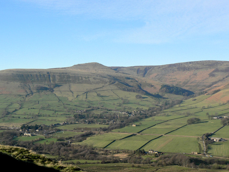
Edale and Grindslow Knoll from Hollins Cross.
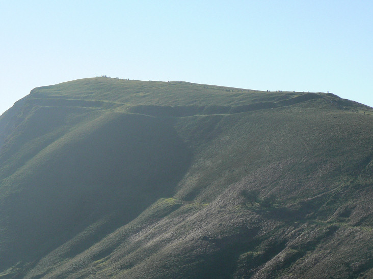
The defensive bank and outer ditch of the Bronze Age fort that once existed on Mam Tor are clearly visible.
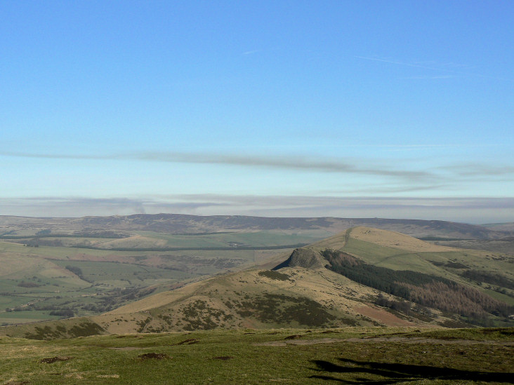
Looking back along the ridge, from Mam Tor's summit, with Derwent and Howden Edges in the distance.
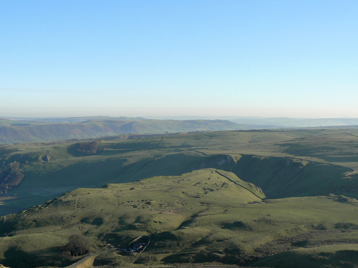
Winnats Pass from Mam Tor.
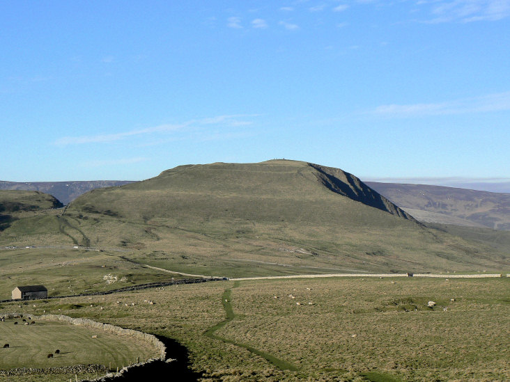
Mam Tor.
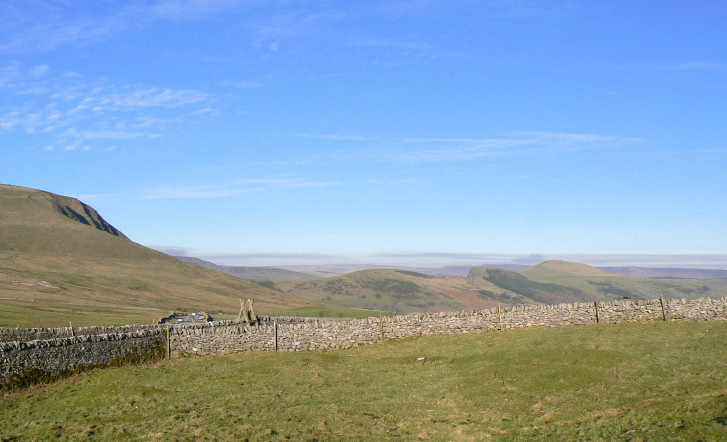
Mam Tor ridge.
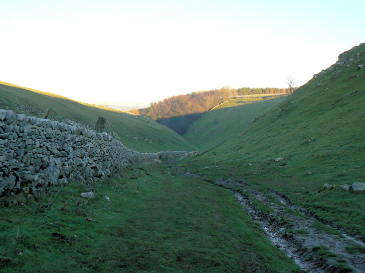
Heading down into Cave Dale.
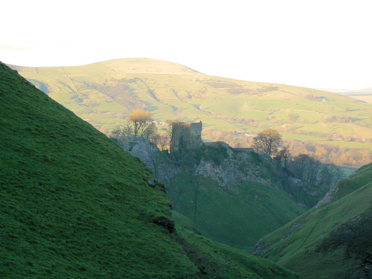
Peveril Castle with Lose Hill catching the last of the sun.
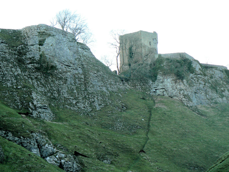
Peveril Castle.
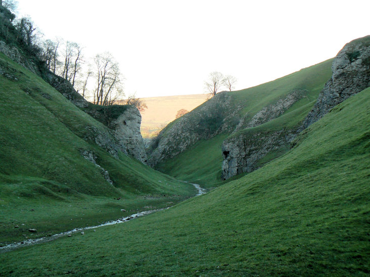
The entrance (or in our case exit) to Cave Dale.
All pictures copyright © Peak Walker 2006-2023