
The Edges - Peak District Walk
Thursday 17th May 2007
Time was short today but it looked like being the best day of the week so I opted for a walk along the edges. The drizzle and low cloud at the start of the walk soon started to clear away and by the time I was heading back to the car there was even some sun starting to break through the cloud, something that we seem to have seen very little of for the last week.
Start: Curbar Gap car park (SK 2623 7470)
Route: Curbar Gap car park - Curbar Edge - Froggatt Edge - Grouse Inn - White Edge (TP) - Curbar Gap car park
Distance: 6 miles Ascent: 226 metres Time Taken: 3 hrs
Weather: Muggy with light rain to start which cleared throughout the walk.
Pub Visited: None Ale Drunk: None
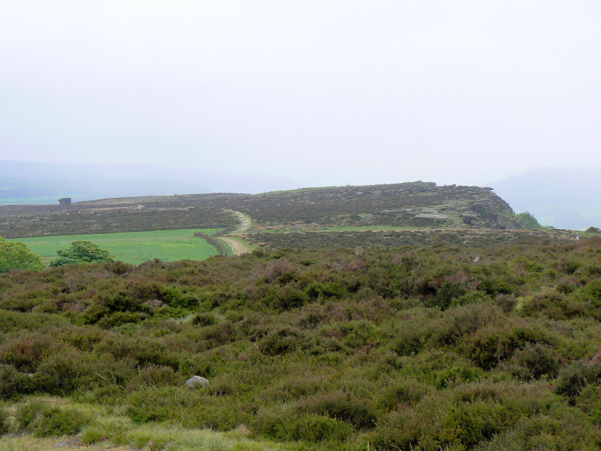
A misty Eaglestone Flat from the start of the path along Curbar Edge.
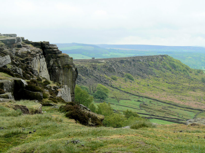
The last of the day's rain starts to clear away to give this view of Baslow Edge from Curbar Edge.
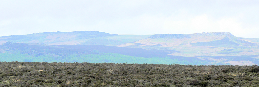
Looking across Stoke Flat to Stanage Edge (L) and Higger Tor (R).
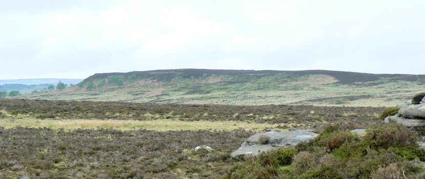
White Edge, the return route, from Curbar Edge.
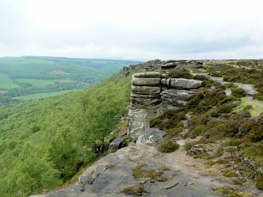
Curbar Edge.
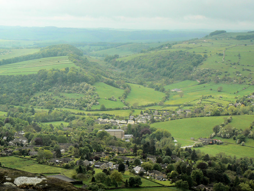
Back Dale behind the village of Calver, from Curbar Edge.
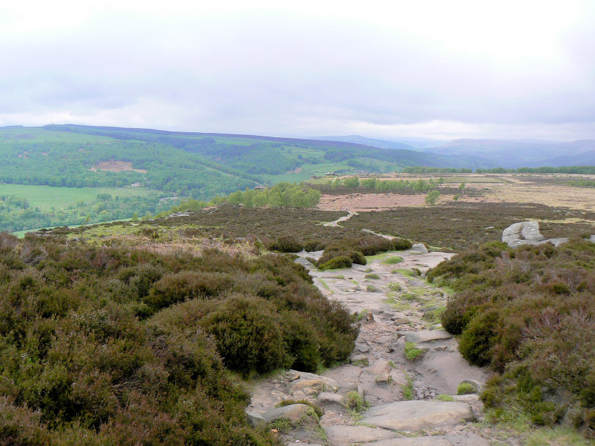
Looking along the top of Curbar Edge with a distant view of Win Hill and Bamford Edge.
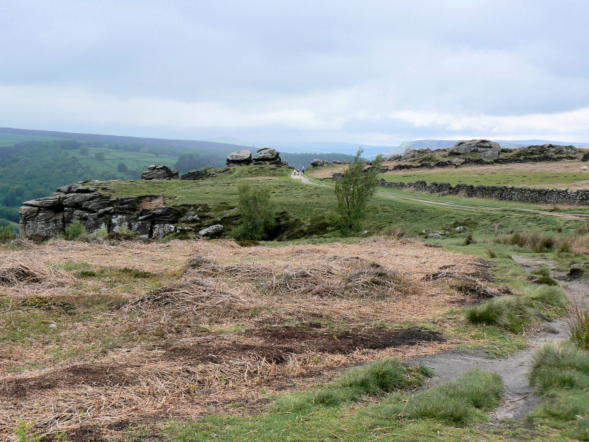
Approaching the point where Curbar Edge becomes Froggatt Edge.
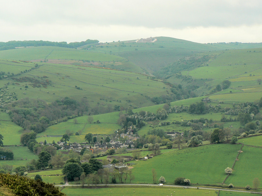
Combs Dale.
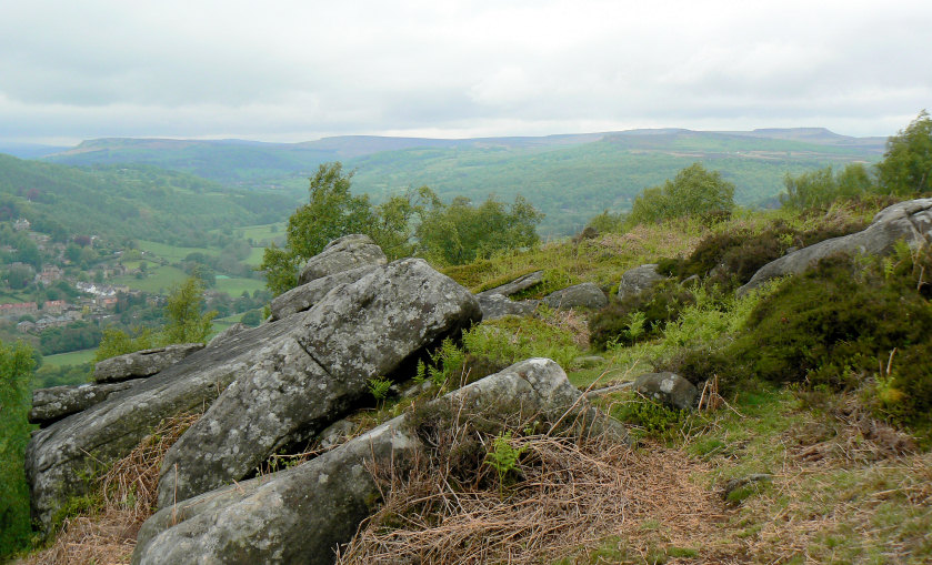
The views along Froggatt Edge can be quite limited, because of the trees, but step off the path and you get this view which stretches from Bamford Edge (L) to Higger Tor (R) with Stanage Edge between them.
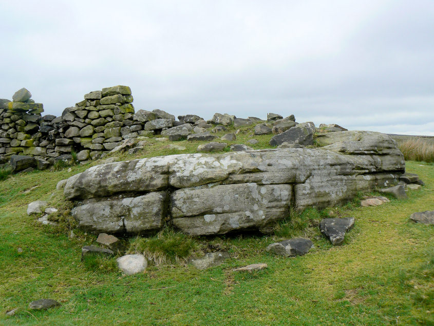
I took a slight diversion today to visit the Hurkling Stone, one of many gritstone outcrops that can be found along the edges.
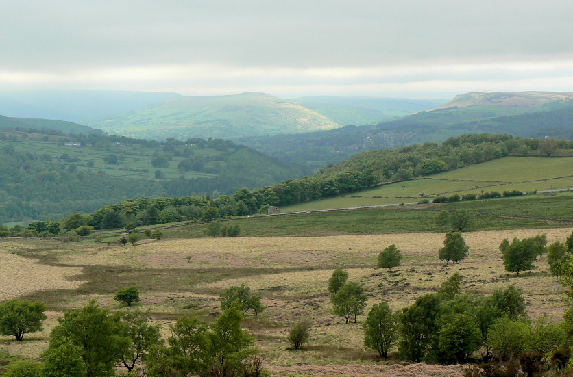
The sun lights up Win Hill.
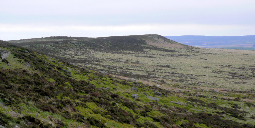
Heading along White Edge to the trig point.
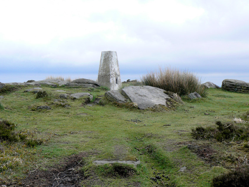
White Edge trig point.
All pictures copyright © Peak Walker 2006-2023