
Mount Famine - Peak District Walk
Tuesday 22nd May 2007
This is a walk that I have been planning on doing for a while now but never quite got around to. The forecast had been for good visibility with plenty of sunshine but as I set of the clouds were coming down over Kinder Scout and my waterproof was soon on, thankfully once that shower had passed the weather improved and the sun came out. One advantage of the poor start to the day was that I hardly met anyone on Kinder Scout and had the two summits of Mount Famine and South Head to myself, I'm sure it will be much busier next weekend over the Bank Holiday.
Start: Bowden Bridge car park (SK 0487 8694)
Route: Bowden Bridge car park - Mount Famine - South Head - Kinder Low (TP) - Kinder Downfall - William Clough - Bowden Bridge car park
Distance: 10 miles Ascent: 713 metres Time Taken: 5 hrs 20 mins
Weather: Muggy with light rain to start then clearing to bright sunshine.
Pub Visited: None Ale Drunk: None
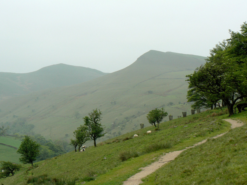
The first view of South Head (L) and Mount Famine (R).
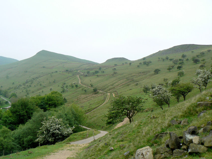
The climb to Mount Famine is nice and steady as the track shows.

Looking back down towards Hayfield from the slopes of Mount Famine.
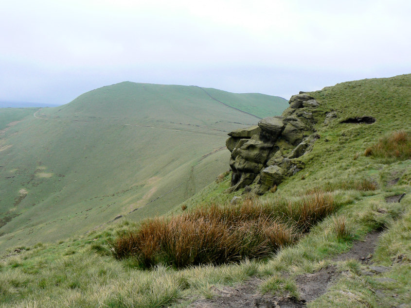
South Head from Mount Famine.
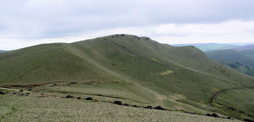
Mount Famine from South Head.
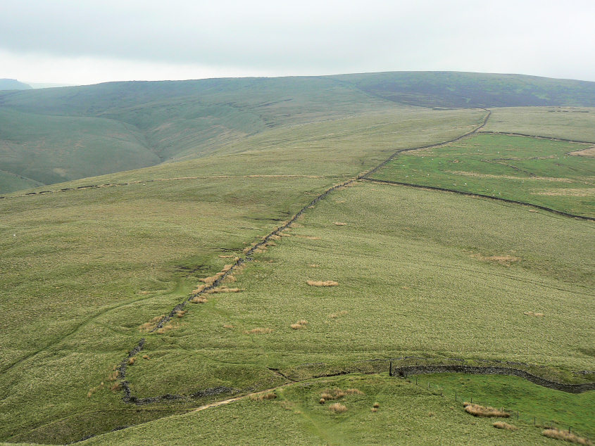
From South Head my route followed the wall to Brown Knoll, the high point on the horizon.
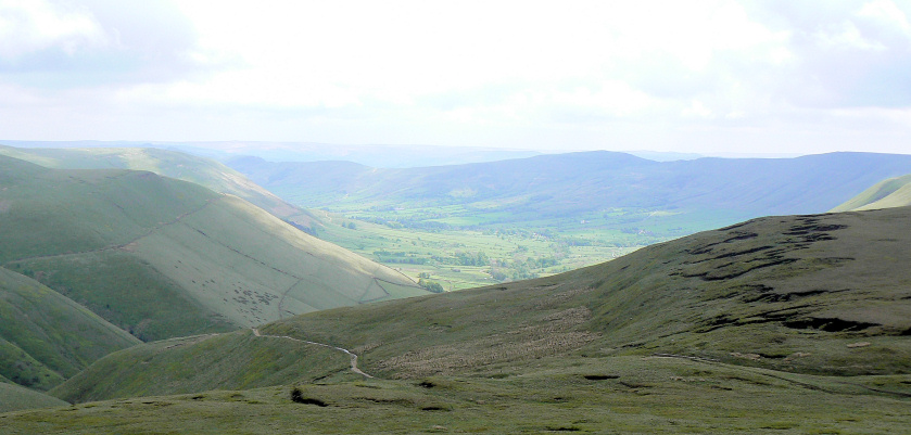
Looking down on the Vale of Edale and the Mam Tor ridge.
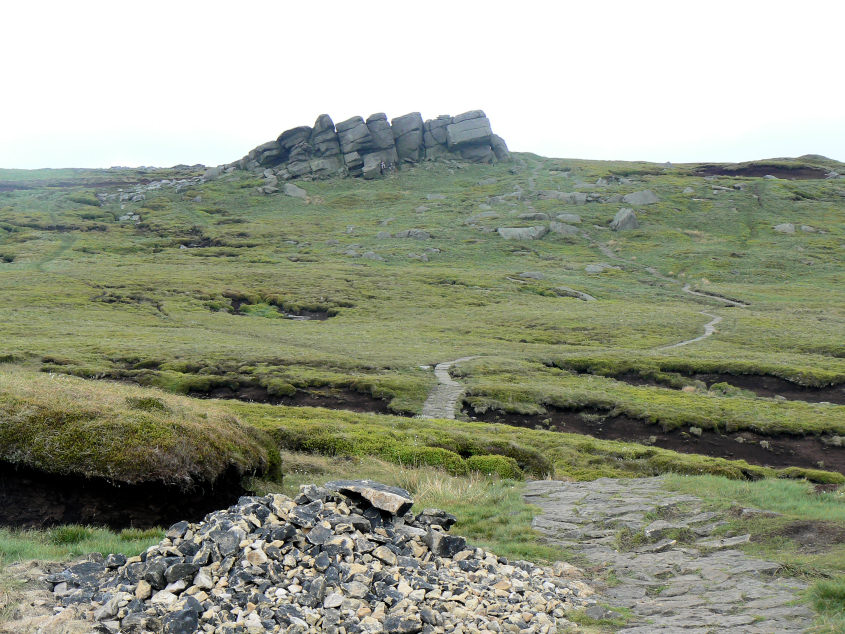
Following the Pennine Way towards Edale Rocks.
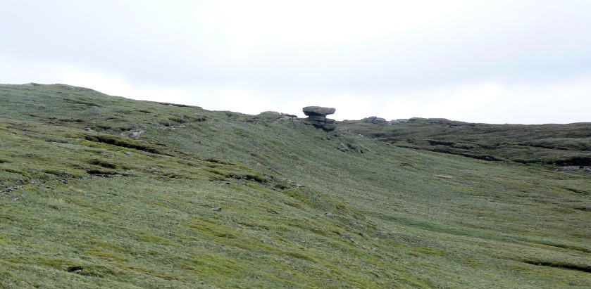
Noe Stool.
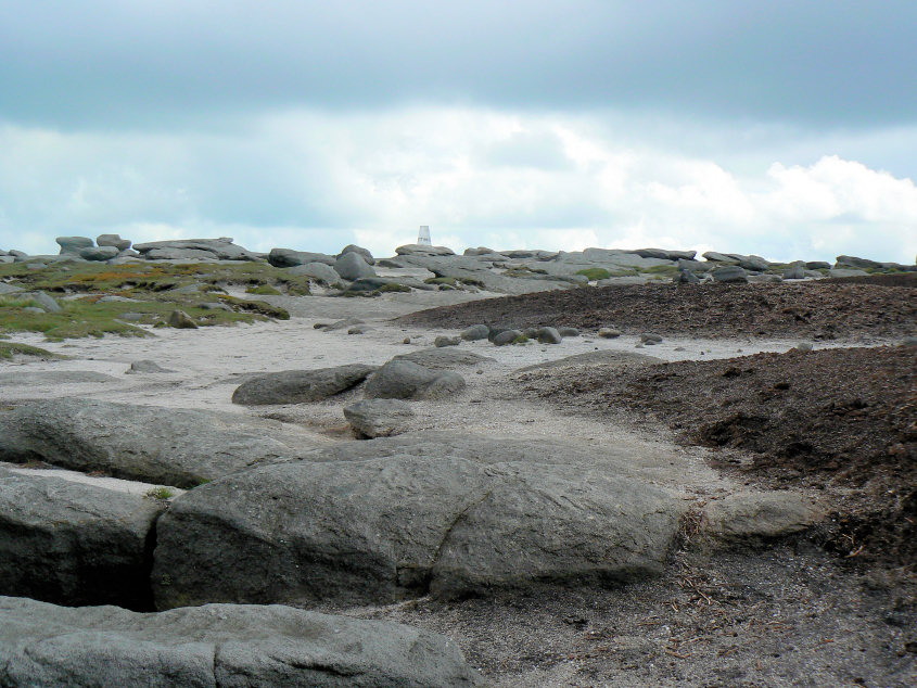
Heading across Kinder Low.
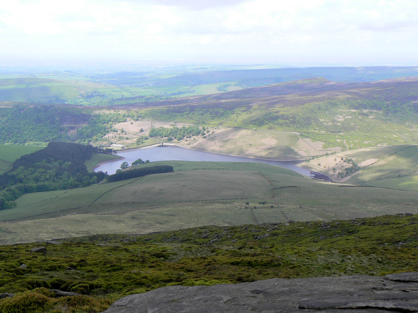
Kinder Reservoir.
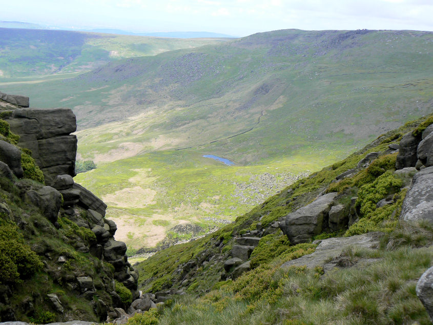
Looking down Red Brook to Mermaid's Pool with Sandy Heys behind.
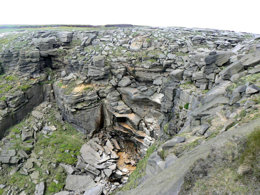
Kinder Downfall.
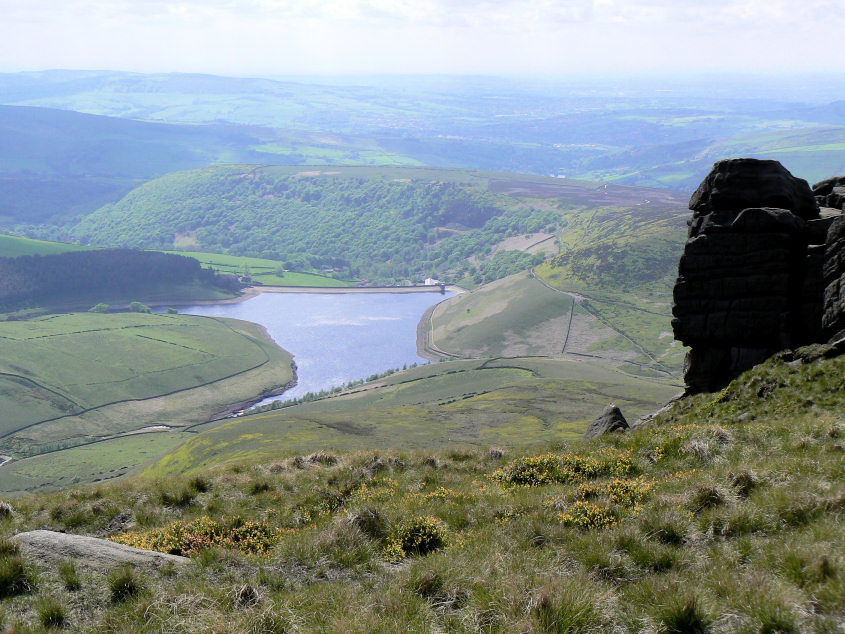
The sun catches Kinder Reservoir from Sandy Heys.
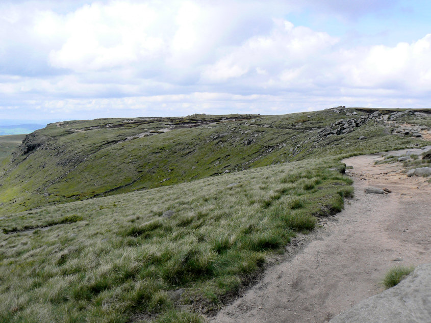
Following the Pennine Way along the top of Kinder Scout.
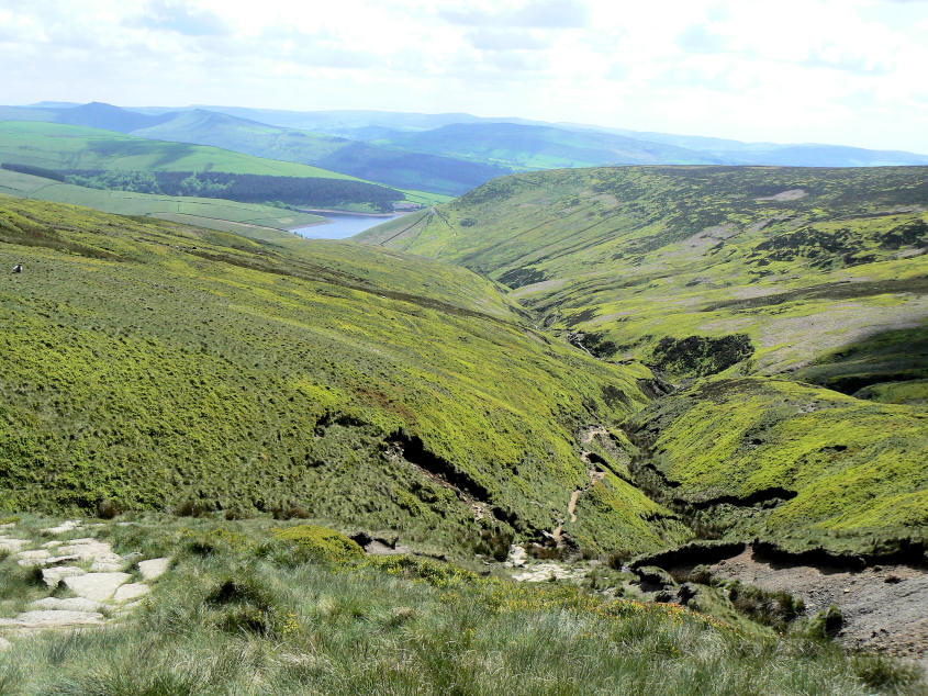
William Clough with Kinder Reservoir, South Head and Mount Famine in the distance.

William Clough.
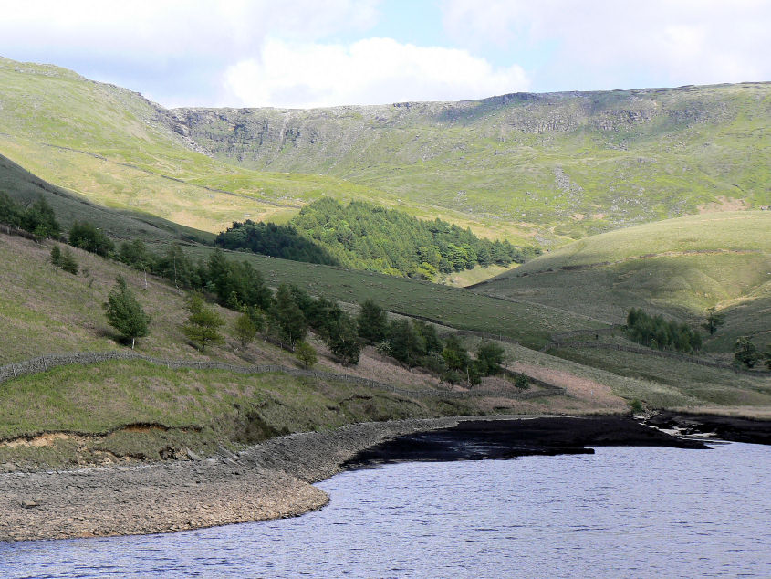
Kinder Downfall from Kinder Reservoir.
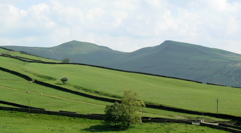
South Head and Mount Famine.
All pictures copyright © Peak Walker 2006-2023