
Knipe Scar - Lake District Walk
Thursday 12th July 2007
The cloud had remained low over the hills all day and the drizzle had never really stopped so we opted for a late afternoon stroll up to Knipe Scar. Typically as we reached the top the rain also reached us so we didn't spend much time exploring the top, instead we opted for a hasty retreat to the pub.
Start: Knipe Moor (NY 5214 1869)
Route: Knipe Scar (182)
Distance: 1.75 miles Ascent: 152 metres Time Taken: 1 hour
Weather: Grey with light rain showers.
Pub Visited: Mardale Inn, Bampton Ale Drunk: Bewshers Bitter

Looking up to Knipe Scar from the road.

Looking west towards Low Kop and Loadpot.

Low Kop.
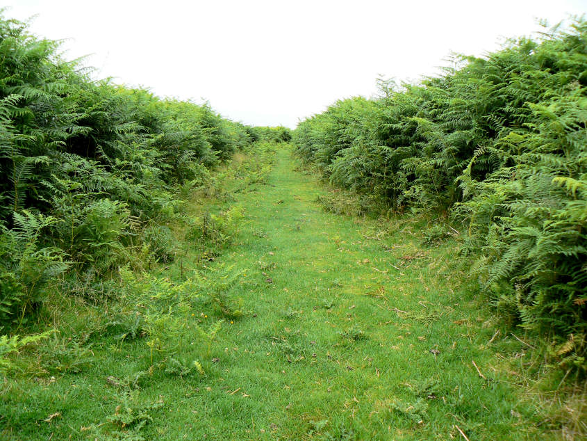
Heading up through the ferns following a, thankfully, wide track.

Looking south-west across the Naddle Forest with Branstree and Harter Fell behind.

Some of the limestone pavement on Knipe Scar's summit.

The sunken summit trig point.

Looking towards the High Street group from the summit as the rain approaches again
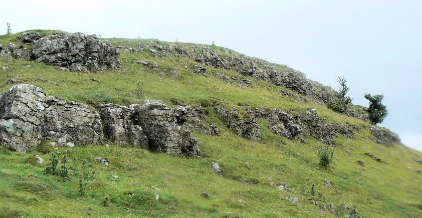
Heading down past more limestone.
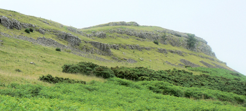
Looking back at Knipe Scar as we start to descend through the ferns.

For much of the descent Bampton, the Mardale Inn, food and a pint remained in sight.
All pictures copyright © Peak Walker 2006-2023