
Black Rocks - Peak District Walk
Wednesday 18th July 2007
This is a walk that being close to home I often do by myself but this evening I was joined by John who being a local hadn't been here since he was much younger. I had often wondered how you got onto the top of Black Rocks although I had never really made much of an effort to find out. Needless to say John headed straight for the track which gives you very easy access to the top of the rocks and on a day like today it was well worth following to enjoy the views from the top.
Start: High Peak Junction car park (SK 3146 5608)
Route: High Peak Junction - High Peak Trail - Black Rocks - Bolehill (TP) - Big Plantation - High Peak Trail - High Peak Junction
Distance: 3.5 miles Ascent: 308 metres Time Taken: 2 hrs
Weather: Warm with plenty of evening sun.
Pub Visited: George & Dragon, Belper Ale Drunk: Tetley Bitter

A fast moving River Derwent.

Cromford Canal is more than a little full of oxygenating plants.

Cromford Junction, the start of the High Peak Trail.

Parts of the High Peak Trail were surprisingly dark due to the trees being full of leaves.

The back of Black Rocks.
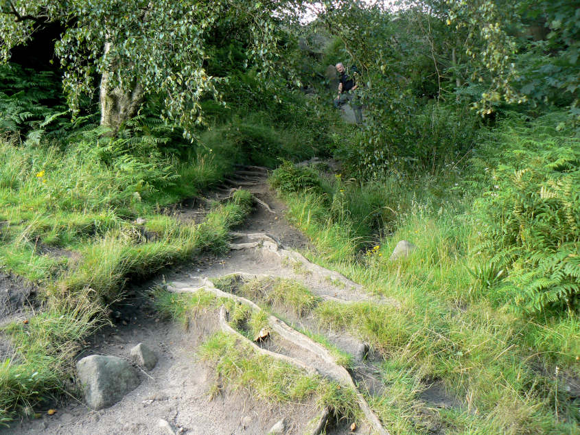
The track, well hidden, which takes you to the top of the rocks.

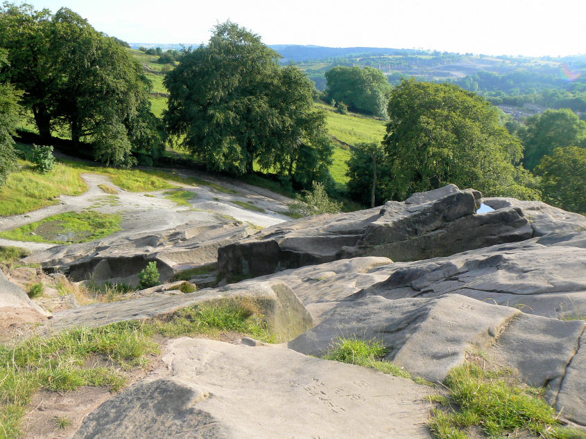
The top of Black Rocks.

Matlock Bath from the top of Black Rocks.

Plenty of modern graffiti etched into the rocks.

Riber Castle.

Middleton Moor from the top of Black Rocks.
One way up and down is via this slope, although there is a bit of a stretch/scramble at the bottom.

Crich Stand.

Bolehill's trig.

Looking south-west from the summit towards Carsington Reservoir.

A close-up of the reservoir. It was announced today that an application to put a wind-farm on Carsington Pastures, overlooking the reservoir and close to Harboro Rocks was rejected by the local planning authority. Nice to see them getting it right for once.

Looking east across Big Plantation which now has a view following the felling of the trees around the summit.

Holloway catches some late evening sunshine.

High Peak Junction.
All pictures copyright © Peak Walker 2006-2023