
Redmires Reservoirs - Peak District Walk
Monday 3rd September 2007
Having finally got some new boots that didn't leak and weren't falling apart I made it out for a walk today. With the school holidays over I was expecting it to be fairly quiet but the edges were very busy, although on the two sections across moor land I saw no one at all. The heather is in full bloom at the moment making the moors look particularly colourful but the ferns are already starting to go brown which is certainly a sign that summer is almost over.
Start: Upper Burbage Bridge (SK 2601 8298)
Route: Upper Burbage Bridge - Burbage Rocks - Houndkirk Road - Ox Stones (TP) - White Stones - Stanedge Pole - Cowper Stone (TP) - Upper Burbage Bridge
Distance: 9 miles Ascent: 351 metres Time Taken: 4 hours 30 mins
Weather: Warm and sunny.
Pub Visited: None Ale Drunk: None

Looking from Upper Burbage Bridge with Higger Tor and Carl Wark on the right of the valley.

Higger Tor from Burbage Rocks.

Carl Wark with Over Owler Tor behind in the sunlight.

Carl Wark from further along Burbage Rocks.

Zooming in on Mam Tor and Rushup Edge.

Houndkirk Hill with Sheffield behind.
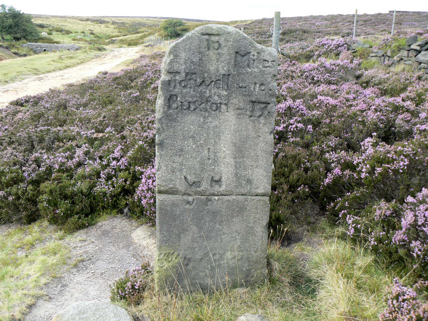
Milestone on the Houndkirk Road.

Ox Stones trig in a sea of heather.

Ox Stones. It was as I was approaching here that I got the text message I had been expecting for the last half hour. My son Robert had passed his driving test.

Redmires Reservoirs from Rud Hill. One of the reservoirs was empty, I can only assume that they are doing work on it as I can't believe it is due to lack of water.

Stanedge Pole.

Looking along Stanage Edge towards High Neb.

High Neb.

Looking along Stanage Edge towards Cowper Stone.

The Mam Tor ridge and Win Hill.

Cowper Stone.

Looking along the full length of Stanage Edge from Cowper Stone.
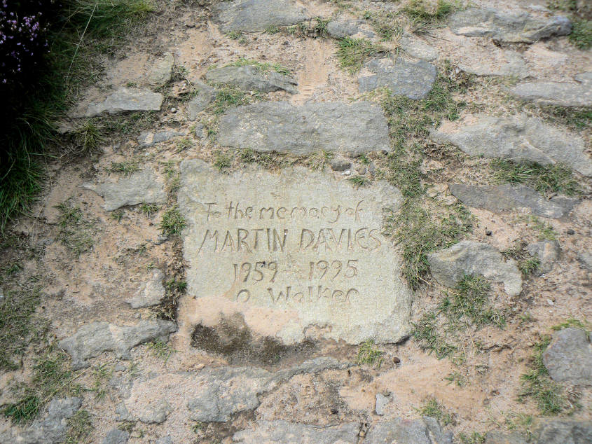
A memorial in the path from Cowper Stone to Upper Burbage Bridge.

Cowper Stone from the memorial stone.
All pictures copyright © Peak Walker 2006-2023