
High Peak Trail - Peak District Walk
Sunday 24th February 2008
I was joined today by Neil, a fellow member of the O.F.C., for a walk that has been on my 'to do list' for a couple of years now. The High Peak Trail follows the route of the old High Peak Railway which linked the Cromford and Peak Forest Canals. Unlike most railway tracks, which are generally flat, this one has three steep inclines which required the trains to be pulled up the track. We opted to do the trail uphill, from Cromford, with all three inclines to be tackled in the first hour and a half, once the inclines have been tackled the route becomes both flatter and more scenic. Although it has to be said that towards the end of the trail I can't say I was looking at the views as I was just focusing on keeping my legs moving, as all they really wanted to do was stop.
Start: High Peak Junction (SK 3146 5608)
Route: High Peak Junction - Middleton Top - Minninglow - Friden - Parsley Hay - Dowlow
Distance: 17.5 miles Ascent: 615 metres Time Taken: 7 hours 35 mins
Terrain: Easy paths.
Weather: Overcast with rain at times.
Pub Visited: Duke of York. Pomeroy Ale Drunk: Robinson's Tempus Fugit
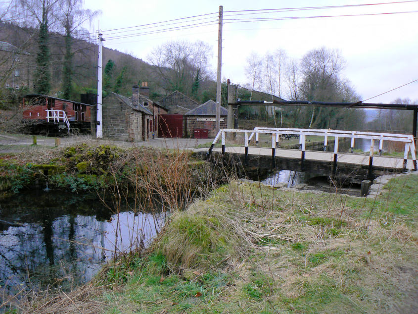
High Peak Junction and the start of the High Peak Trail.
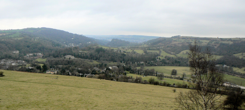
After the first steep climb we are rewarded with the view across to Matlock and also with the sound of church bells ringing across the valley.

Heading towards Middleton Top. This end of the trail has plenty of benches, unlike the other end when I really would have appreciated them!
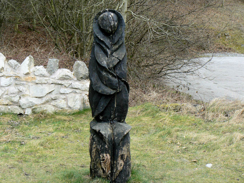
One of the carvings that can be found on this section of the trail.
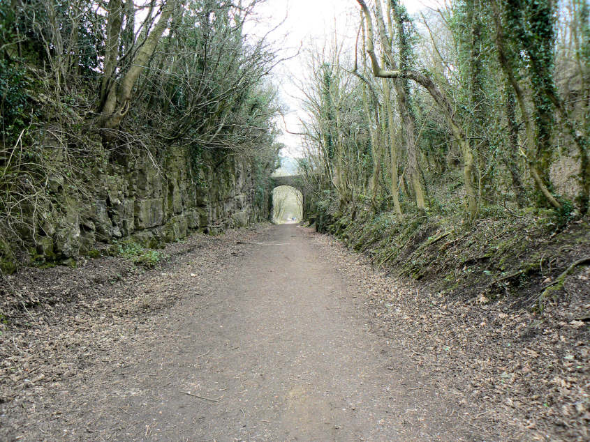
Middleton Incline, the second of the three big inclines on the trail.
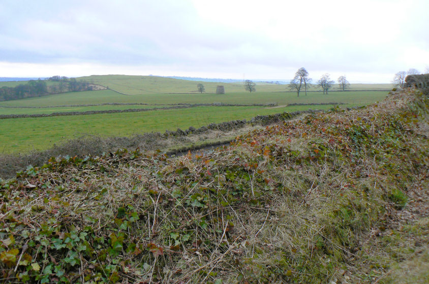
After Hopton Incline the trail levels out and you start to get the typical Derbyshire Dales views. Here looking across to Carsington Pastures.
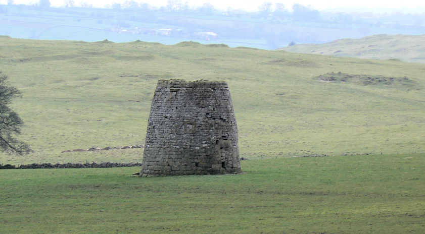
I think it's an old kiln.
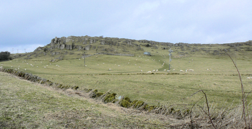
Harboro Rocks but there is no time to explore them today.
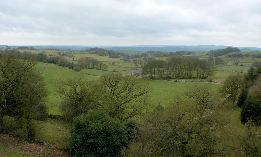
Looking towards Rainster Rocks.
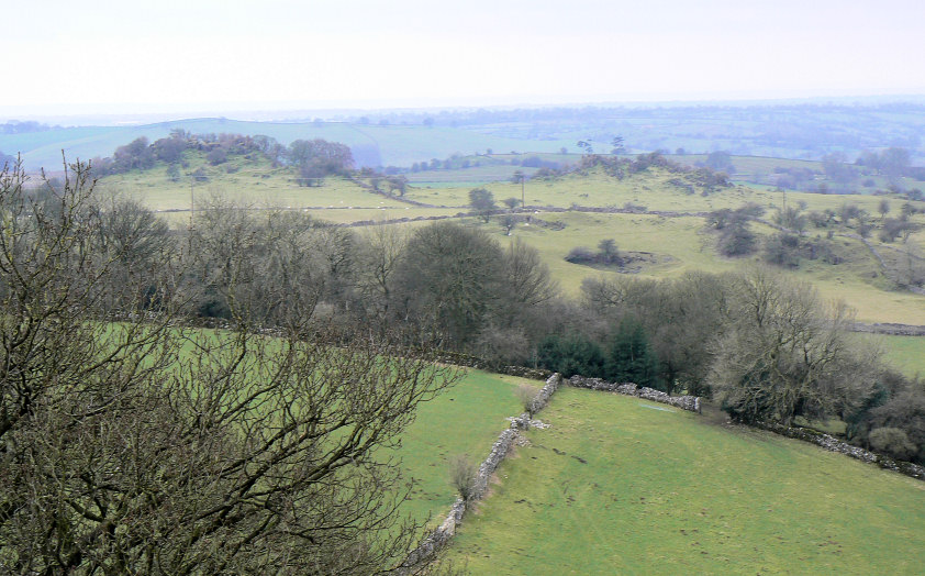
A closer view of Rainster Rocks.
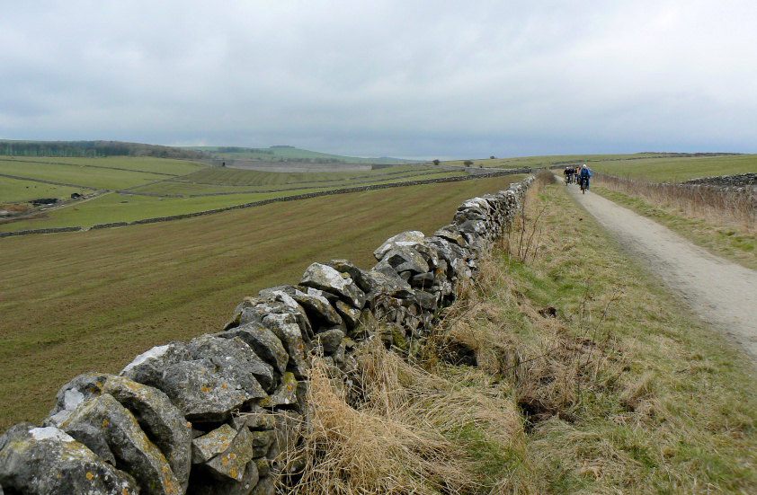
Looking along the trail to Minninglow Embankment.
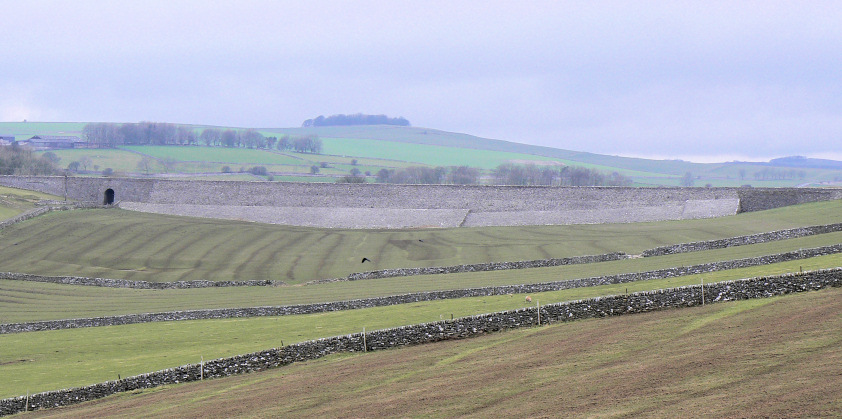
Minninglow Embankment with Aleck Low behind. By the time we reached the embankment our waterproofs were on as the promised rain had reached us.
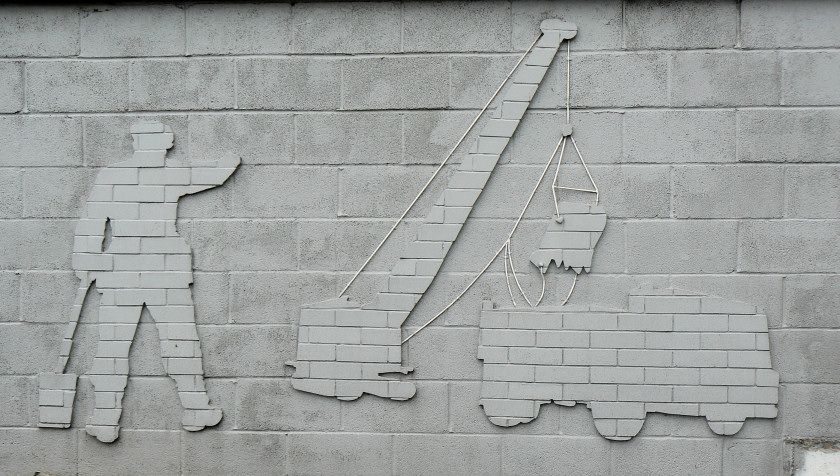
As we approached Friden the rain stopped. The brick factory which is right next to the trail has used the wall to create three friezes about brick making.
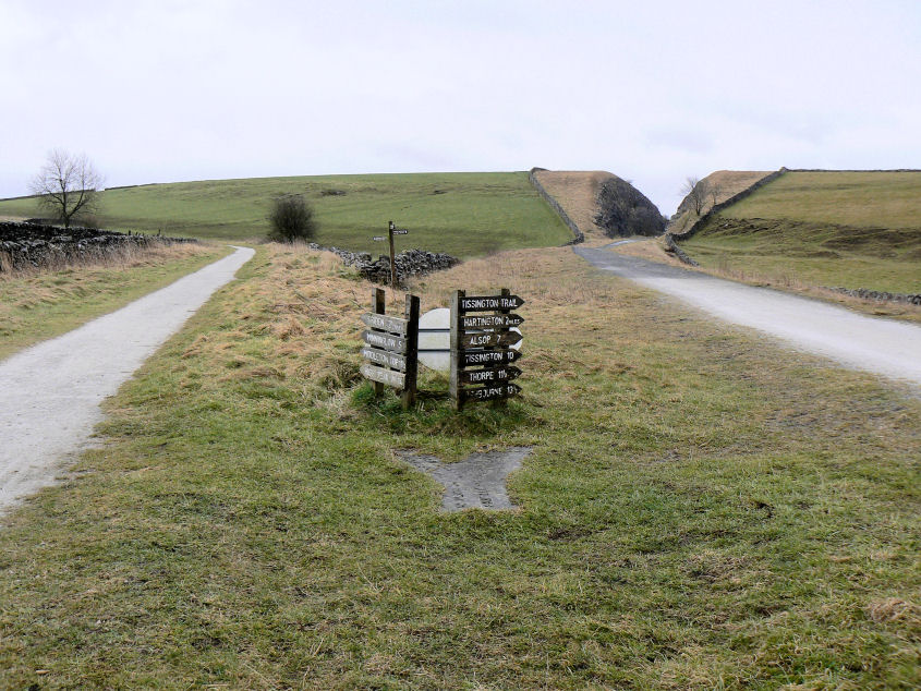
The point at which the High Peak Trail (L) and the Tissington Trail (R) meet. The Tissington Trail ends here but there is still another 3 and a half miles left on the High Peak Trail.
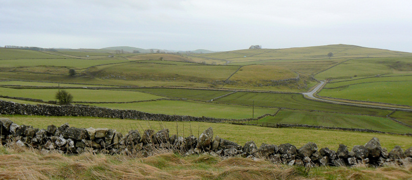
Carder Low is the prominent hill to the right of the picture, Wetton Hill is one of the three hills behind it.
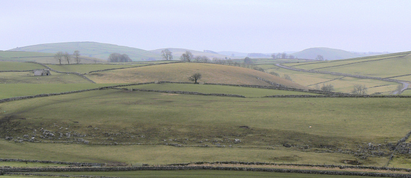
Looking across towards Wetton Hill. From left to right the three hills are Gratton, Narrowdale and Wetton Hills.
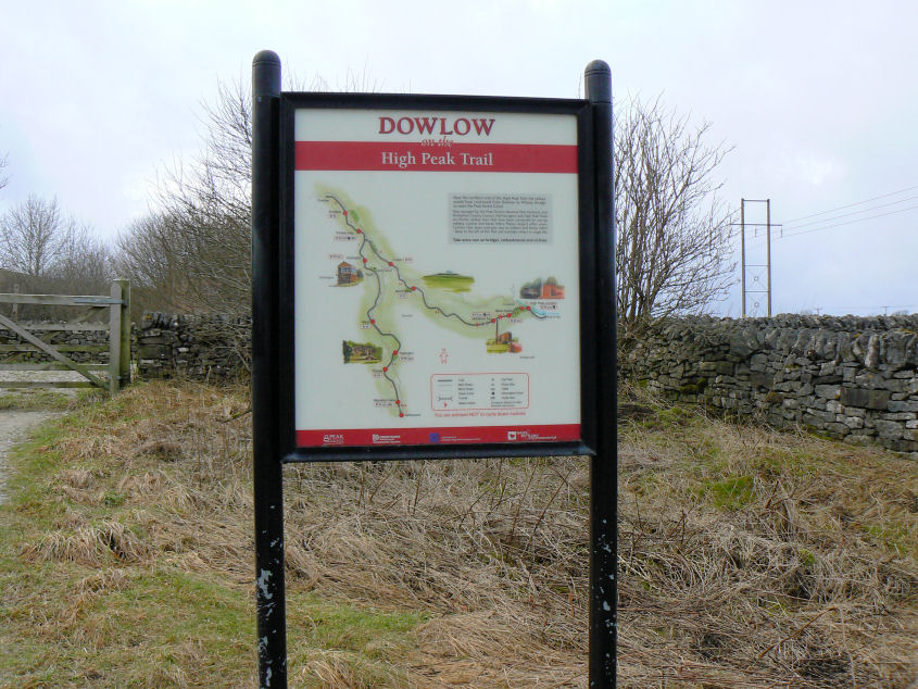
Dowlow where the High Peak Trail ends.
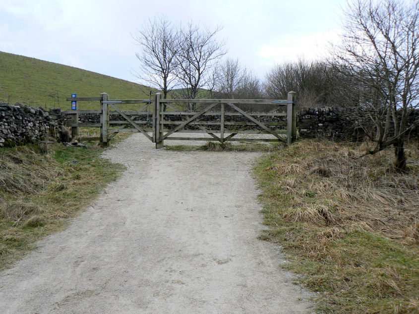
The end of the High Peak Trail. All that remains now is for us to turn right on the track at the other side of the gate and then right at the road to meet our lift home in the Duke of York.
All pictures copyright © Peak Walker 2006-2023