
Curbar Edge - Peak District Walk
Wednesday 27th February 2008
After Sunday's trek along the High Peak Trail I wanted a relatively flat walk that I knew I could shorten if necessary, although in the end I did the route I had planned in full. Rather than follow my usual route along the top of Curbar Edge I started out following the track below the edge before making the short ascent onto the top and extended the walk by heading down to Nether Padley thus avoiding a stretch of road walking.
Start: Curbar car park (SK 2622 7470)
Route: Curbar car park - Curbar Edge - Froggatt Edge - Nether Padley - Tumbling Hill - White Edge Lodge - Lady's Cross - Barbrook Reservoir - Ramsley Reservoir - Jack Flat - Baslow Edge - Curbar car park
Distance: 10.5 miles Ascent: 369 metres Time Taken: 5 hours 35 mins
Terrain: Good paths. One short scramble which can be avoided.
Weather: Cloudy with sunny spells.
Pub Visited: None Ale Drunk: None

The view towards Longstone Edge as I head to the path below Curbar Edge.

Curbar Edge.

Curbar Edge.

Looking across Curbar to Longstone Edge.
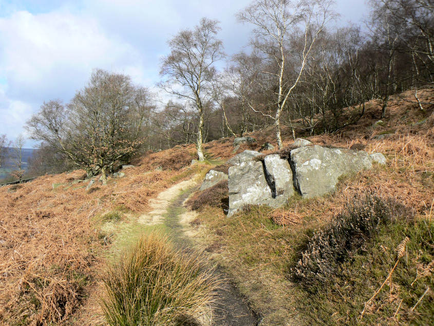
Following the path through the trees below Curbar Edge.

Curbar Edge.

Curbar Edge with Sir William Hill and Eyam Moor to the left.

Stanage Edge from Curbar Edge.

Over Owler Tor on the horizon. Tumbling Hill is the rocky outcrop to the right of the picture.

Over Owler Tor and Higger Tor as I head towards Tumbling Hill.

Higger Tor (L) and Car Wark (R).

Tumbling Hill.

Looking towards Stanage Edge from Tumbling Hill.

Win Hill and the Kinder Plateau from Tumbling Hill.

Lady's Cross as I head across White Head Moor.
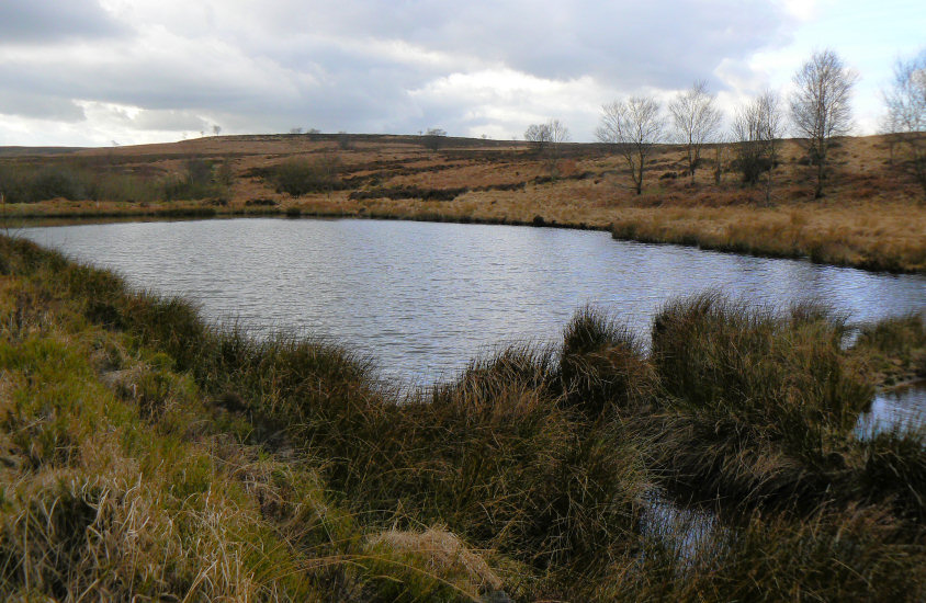
An unnamed pool on the edge of Big Moor.

The abandoned Ramsley Reservoir. The grass bank is one of the old reservoir walls.

Curbar Edge from Baslow Edge.
All pictures copyright © Peak Walker 2006-2023