
The Chevin - Peak District Walk
Wednesday 7th May 2008
It was far too nice a day to stay at home, so this afternoon I headed out for a local walk. It really was a case of just following my nose and seeing where it took me, which turned out to be, along the Chevin, to Duffield and back. The Chevin is the hill which overlooks Belper from the west and which I can see from my study window.
Start: Firestone lay-by (SK 3355 4634)
Route: Firestone - North Lane - Chevinend - Midshires Way - Duffield - Midshires Way - Hazelwood Hall Farm - Firestone
Distance: 4 miles Ascent: 100 metres Time Taken: 2 hours
Terrain: Easy paths.
Weather: Hot and sunny.
Pub Visited: None Ale Drunk: None

The trees are finally starting to get some leaves on them
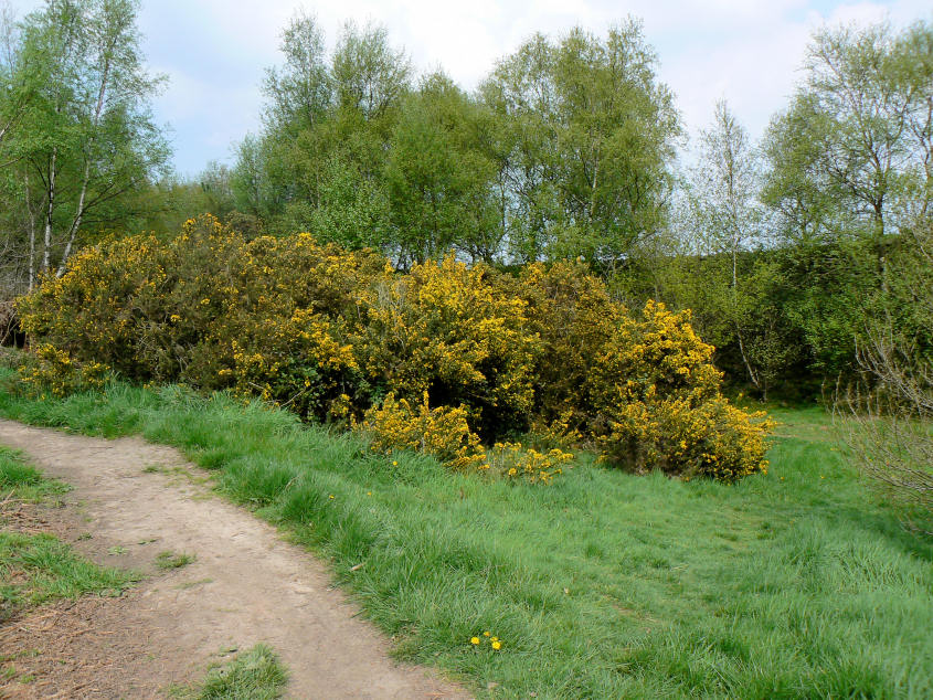
Bright yellow gorse greets me as I approach the site of the only bomb dropped on (well near to) Belper during the Second World War.
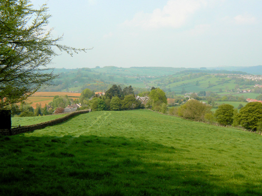
Looking towards the valley known as The Dalley.
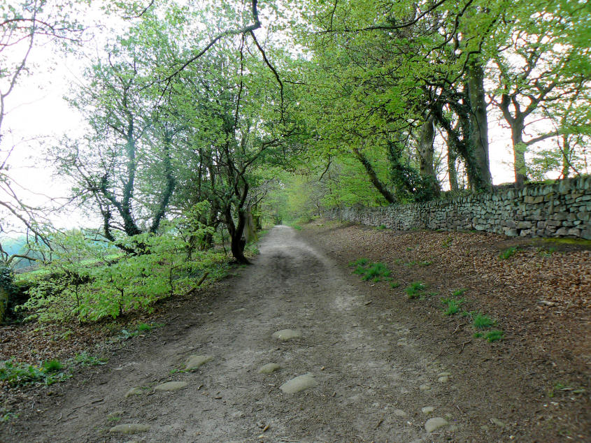
Heading along North Lane, which runs along the top of The Chevin.
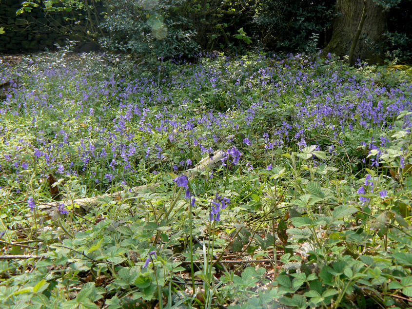
A bank of bluebells is visible, over a wall, to the right of the lane.
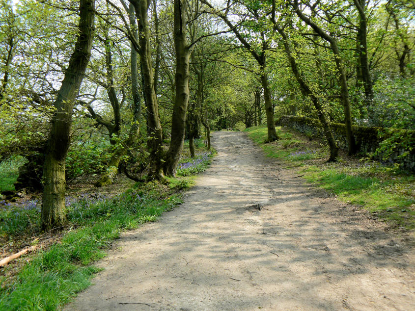
Further along the bluebells start to appear on the lane.
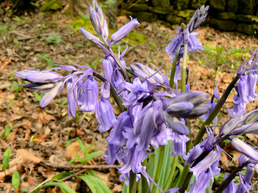
A close-up of the bluebells. Not quite at their best just yet.
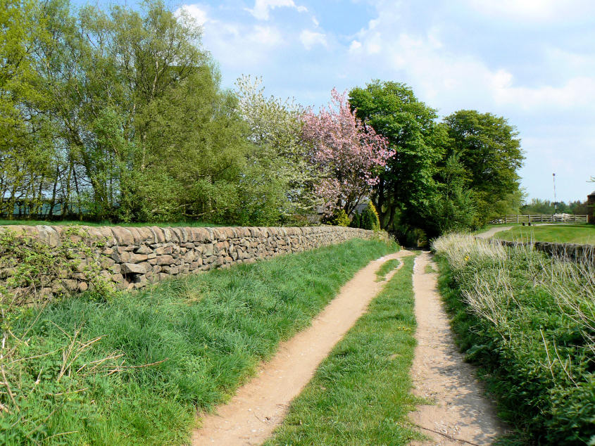
Approaching Chevinend with Chevin Golf Club on either side of the lane.
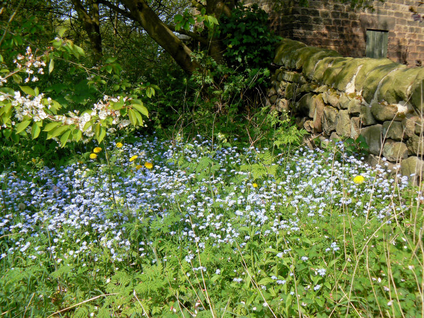
Some Forget-Me-Nots on the path into the golf course.
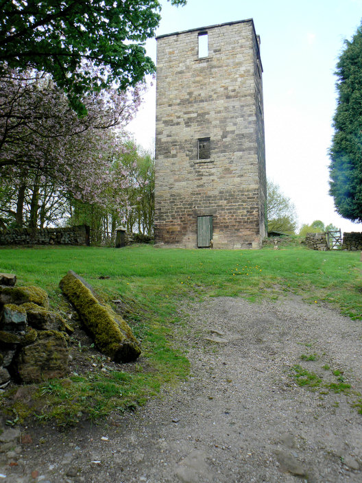
The Sighting Tower, used when they were constructing Milford Tunnel.
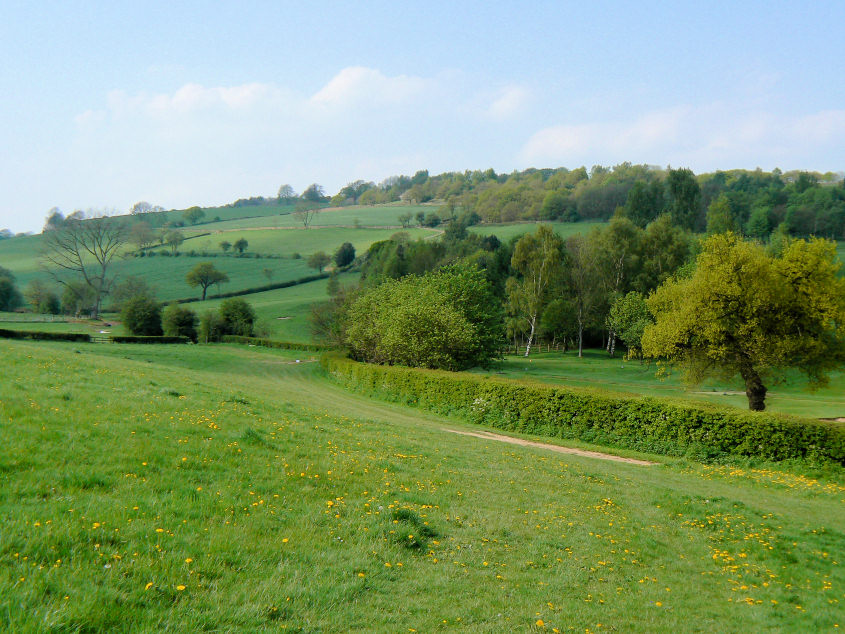
Looking back up to Chevinside just as I am about to reach the edge of Duffield.
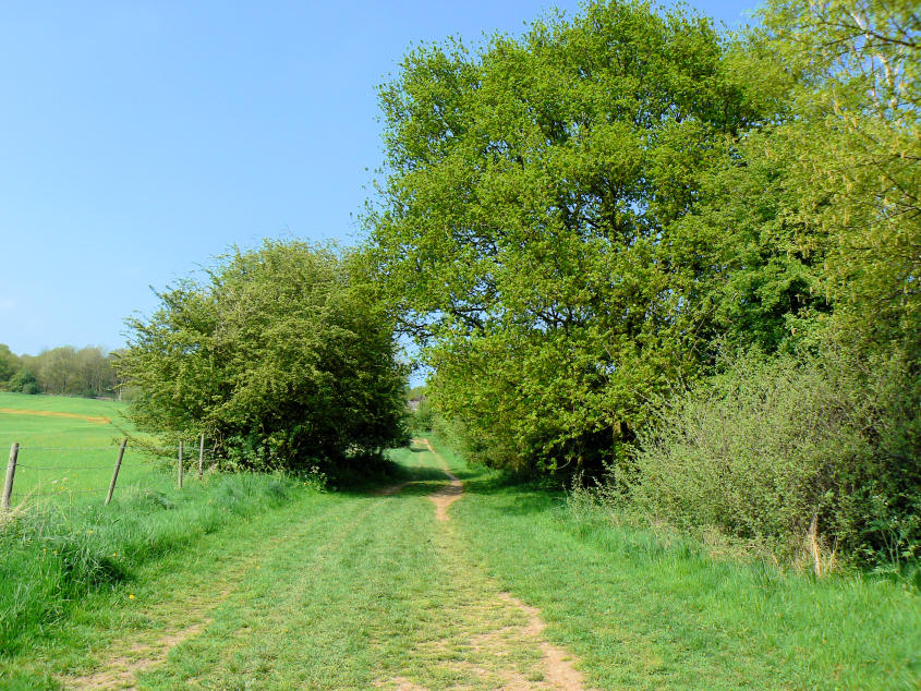
Heading back along the Midshires Way.
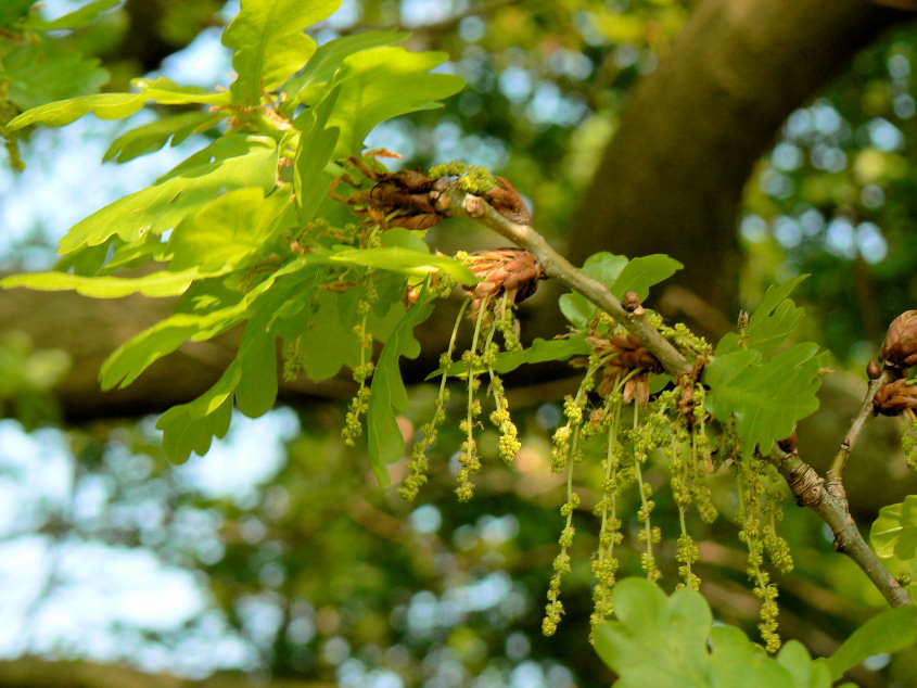
I think they are oak leaves.
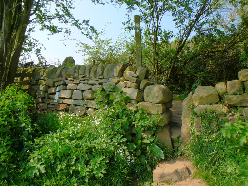
It was the flowers that caught my attention. They were so bright.
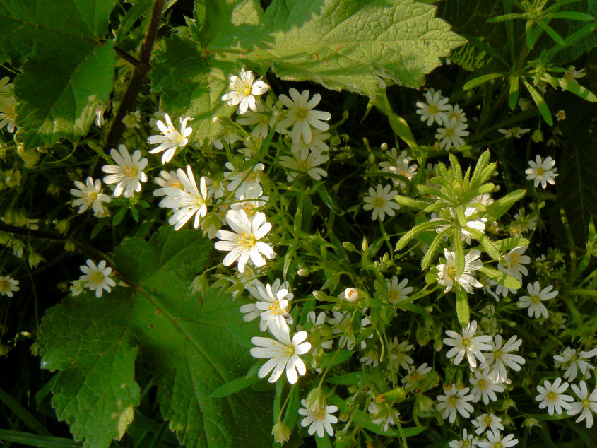
No idea what they are.
I have since been told by fellow OFC members that they are Greater Stitchwort.
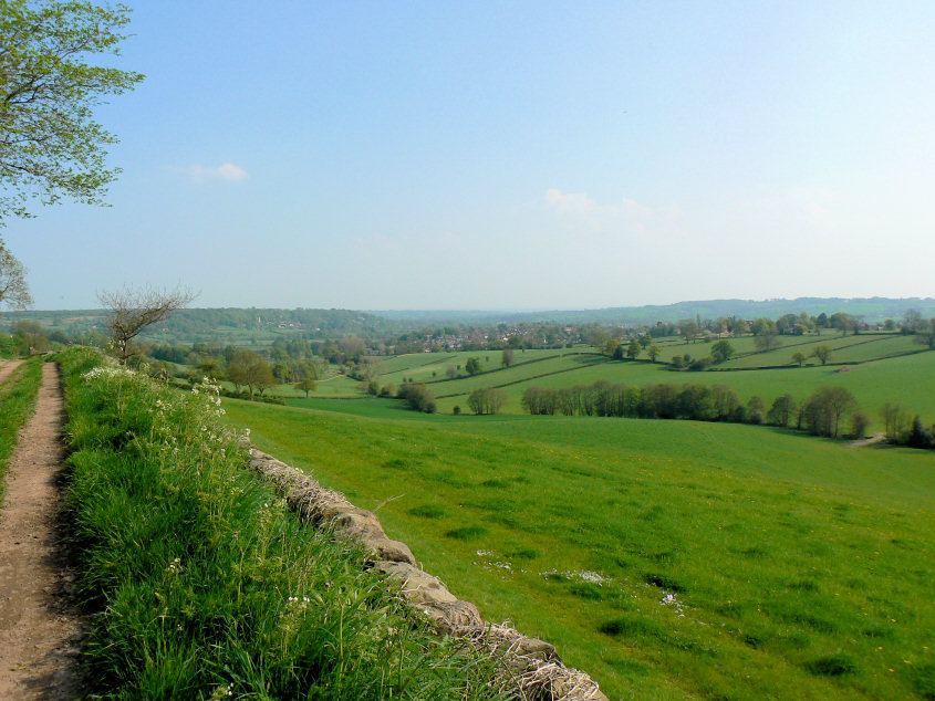
Looking back to Duffield as I approach Hazelwood Hall Farm.
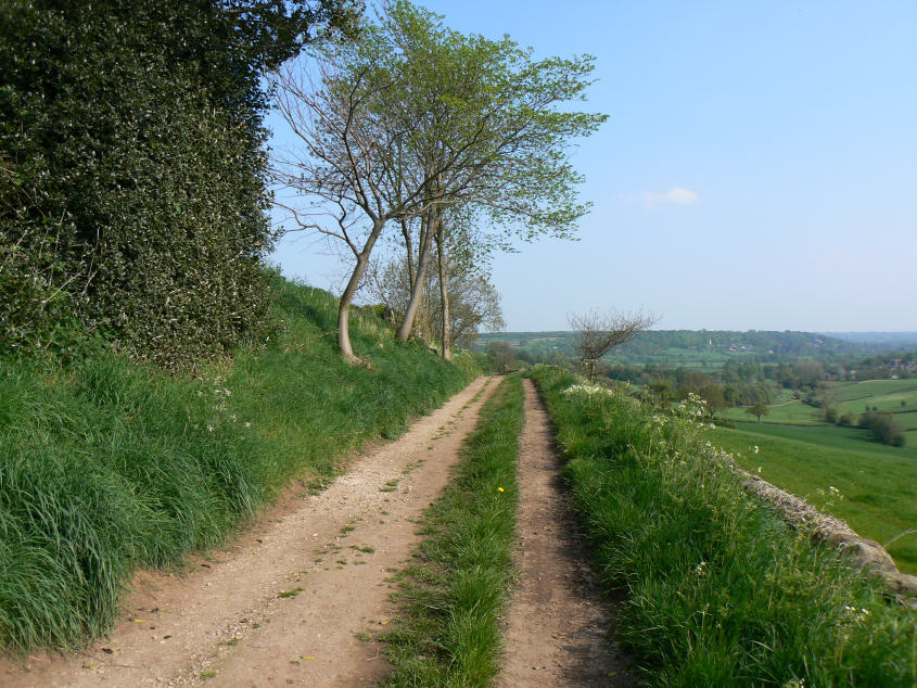
Duffield Bank in the distance.
All pictures copyright © Peak Walker 2006-2023