
Monsal Dale - Peak District Walk
Thursday 8th May 2008
With the sudden change in the weather all the spring flowers are coming out which made this walk around Monsal Dale a very colourful affair. The route was picked because I wanted to explore the paths above Miller's Dale, but I have to say that whilst it is a pleasant enough route, walking through the dale itself will probably be my first choice in future.
Start: White Lodge car park (SK 1704 7062)
Route: White Lodge car park - New Plantation - Brushfield - High Dale - Miller's Dale - Water-cum-Jolly Dale - Upperdale - Monsal Dale - White Lodge car park
Distance: 6 miles Ascent: 381 metres Time Taken: 3 hours 30 mins
Terrain: Good paths but there is some exposure on the path above Miller's Dale.
Weather: Sunny and warm.
Pub Visited: None Ale Drunk: None
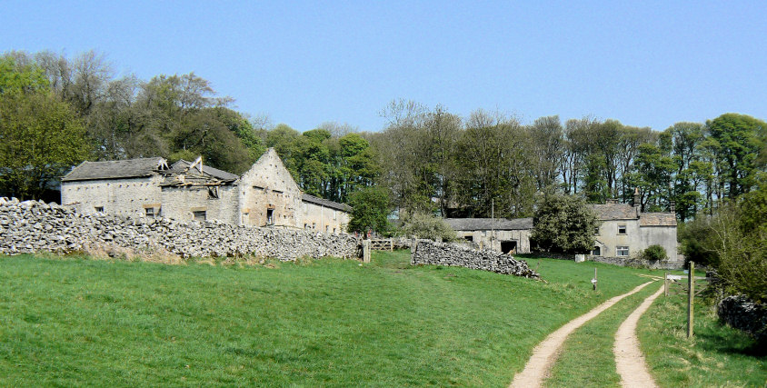
Emerging out of New Plantation to the farm which whilst it looks deserted is a working farm.

Following the track to Brushfield gives some pleasant views across to Taddington, and the hills Humphrey Gate and Sough Top.
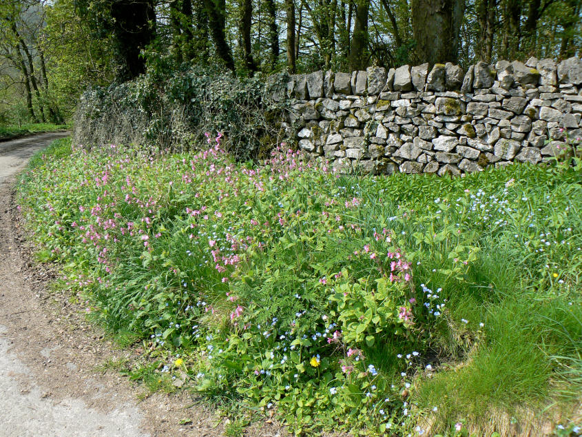
Plenty of colourful flowers as I walk past Brushfield.
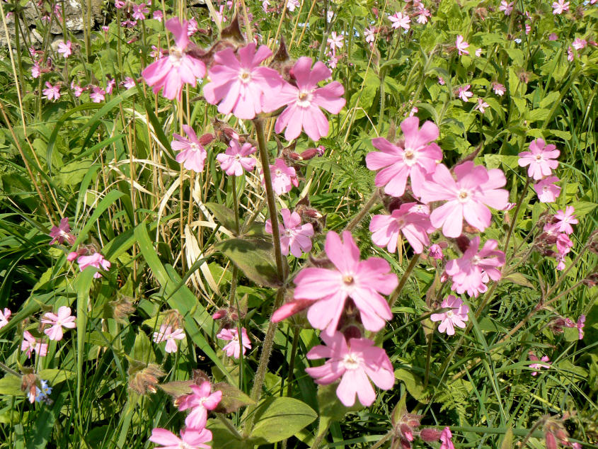
Red Campion. Thanks to the OFC members who identified the flowers for me.

Entering High Dale, which is a dry dale.

High Dale.

Looking back down to High Dale.
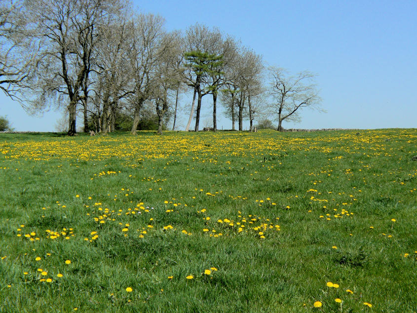
I might consider them weeds when I find them in my garden but these dandelions really add a splash of colour to this field.

Looking across to Litton Mill and Miller's Dale.

The Monsal Trail.

Litton Tunnel which is now closed. My route would take me up the path to the left of the tunnel and then onto the top of the cliffs of Miller's Dale.

Looking back to Litton Mill.

Miller's Dale. The path I was following is the higher of the two on the slopes to the right of the dale.

Approaching Water-cum-Jolly.

Starting to drop back down to rejoin the Monsal Trail in Upperdale.

Cressbrook Mill.

The deserted Monsal Station on the Monsal Trail.
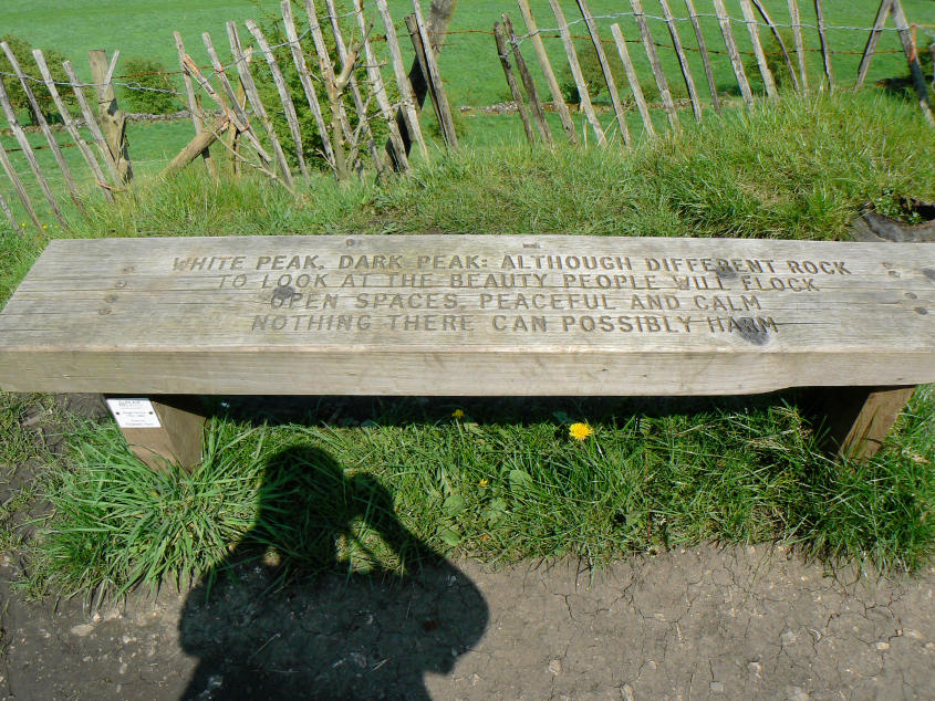
These benches with poems seem to be appearing all over the Peak District. This poem is by Elizabeth Hunt.

Entering Monsal Dale.

Monsal Viaduct.
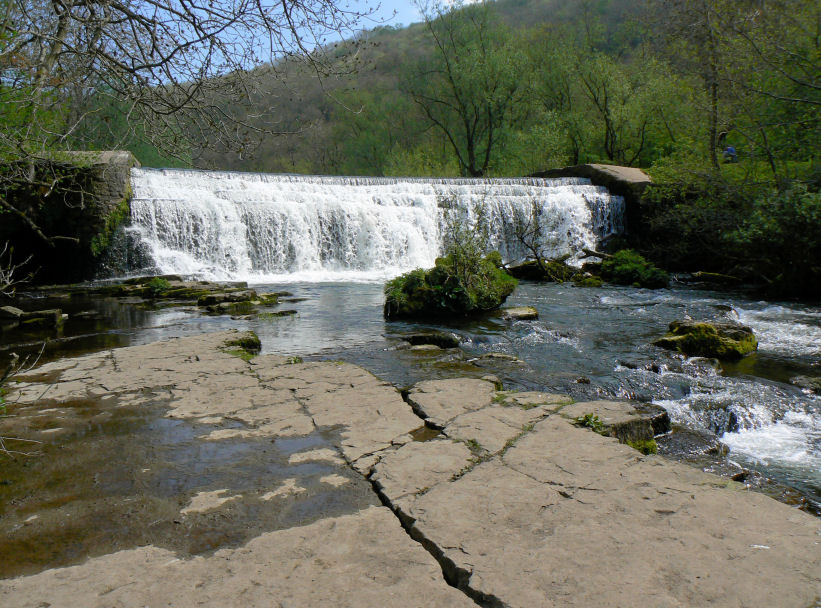
The weir in Monsal Dale.

The river Wye just before I leave Monsal Dale.
All pictures copyright © Peak Walker 2006-2023