
Birchen Edge - Peak District Walk
Thursday 9th October 2008
A great day for a walk, blue sky, warm weather and great views. A real treat after all the rain and grey days of the past few weeks.
Start: Birchen Edge car park (SK 2808 7211)
Route: Birchen Edge car park - Birchen Edge (TP) - Jack Flat - Bar Road - Baslow - Chatsworth - Birchen Edge car park
Distance: 5.25 miles Ascent: 260 metres Time Taken: 3 hours
Terrain: Good clear tracks.
Weather: Warm and sunny.
Pub Visited: None Ale Drunk: None

Looking west from the path below Birchen Edge.

Looking in the same direction from Birchen Edge.

Longstone Moor can be seen in the distance

Looking along Birchen Edge towards Nelson's Monument and the rocks known as Three Ships.

Birchen Edge with a climber setting up just in front of the monument.

Three Ships.

Each rock has a ship's name carved into it.

Nelson's Monument from the Three Ships.

Looking along Birchen Edge.

Birchen Edge.

Birchen Edge's trig point.

Curbar and White Edges from Birchen Edge.

Jack Flat from the path used to descend from Birchen Edge.

Bar Brook with Gardom's Edge to the right.

Jack Flat seems to missing its usual residents.
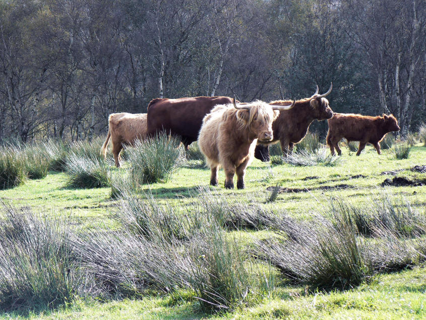
No, they were just further up the path than normal.

Approaching Wellington's Monument.

Wellington's Monument.

Looking across Eaglestone Flat to Eagle Stone.

Longstone Moor (L) and Eyam Moor (R).

Zooming in on Longstone Moor where the damage being done to the edge by the quarrying is all to visible.

Gardom's Edge with Birchen Edge behind, from Bar Road.

Gardom's Edge.

A thatched cottage by the track into Chatsworth Estate.

Jubilee Rock.

Looking back across the Chtasworth Estate from Jubilee Rock.
All pictures copyright © Peak Walker 2006-2023