
White Edge - Peak District Walk
Saturday 31st January 2009
After two weeks of being stuck in the house recuperating from a reoccurrence of an old back injury it was nice to get my walking boots back on, even if it was for a gentle stroll along the relatively flat edges. This isn't a walk I would normally do at the weekend, as it is a very popular area and I prefer to avoid the crowds whenever possible, but under the circumstances it was a sensible combination of terrain and distance.
Start: Curbar Gap car park (SK 2623 7470)
Route: Curbar Gap car park - White Edge (TP) - Grouse Inn - Froggatt Edge - Curbar Edge - Curbar Gap car park
Distance: 5.75 miles Ascent: 221 metres Time Taken: 3 hours
Terrain: Good tracks some across moorland.
Weather: Cold.
Pub Visited: None Ale Drunk: None
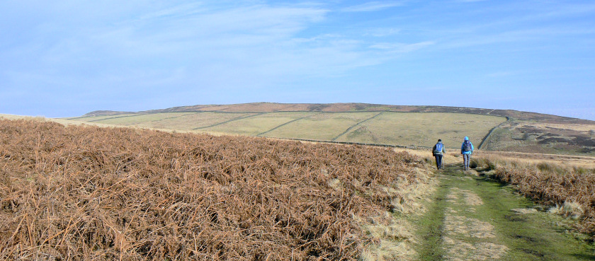
White Edge ahead, as we leave the car park.
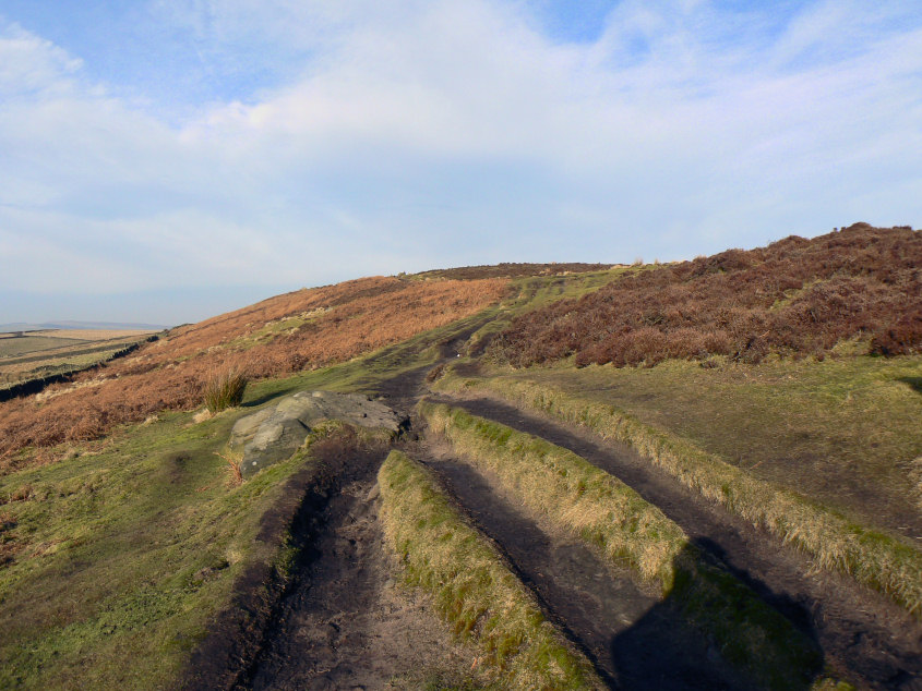
Starting along White Edge.
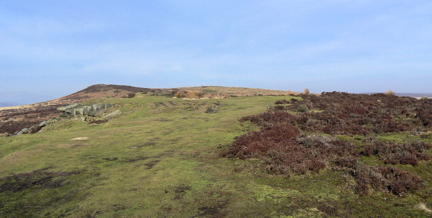
Heading towards the highest point of the walk and White Edge's trig point.
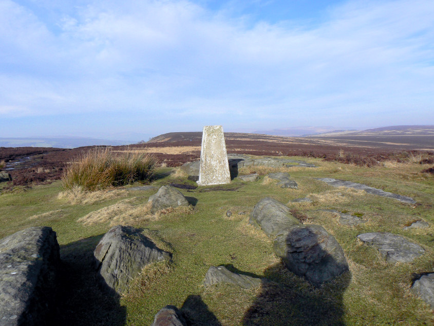
Looking along White Edge from the trig point.
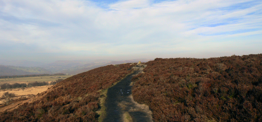
A hazy view of Stanage Edge and Win Hill.
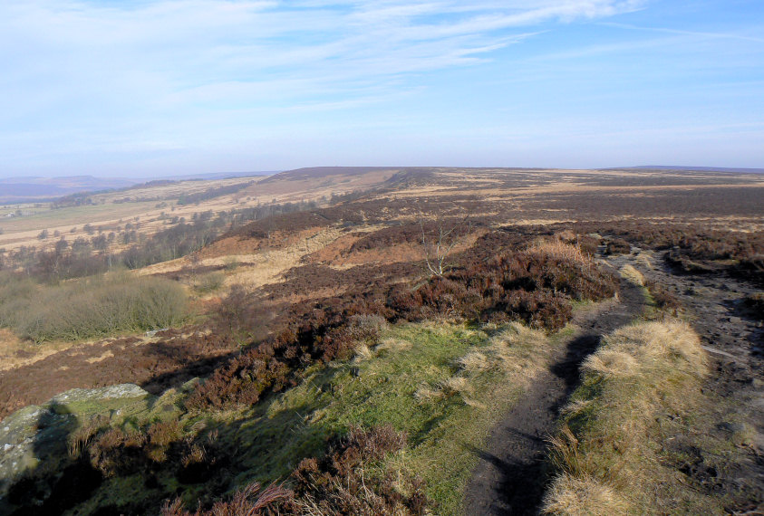
White Edge Moor.
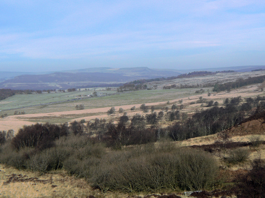
Higger Tor from White Edge. Normally Higger Tor dominates the view when walking along White Edge in this direction, but it was so hazy today that it was barely visible for most of the walk.
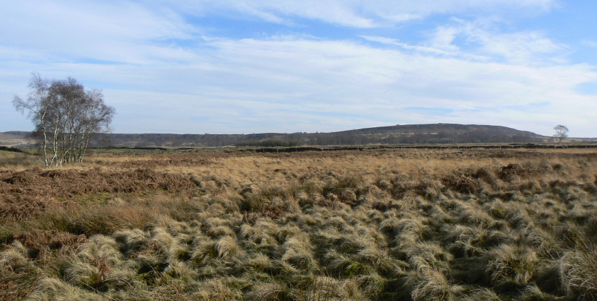
Looking across Stoke Flat, from Froggatt Edge, to White Edge.

The terrain is much easier on this part of the walk, which is why it's so popular.
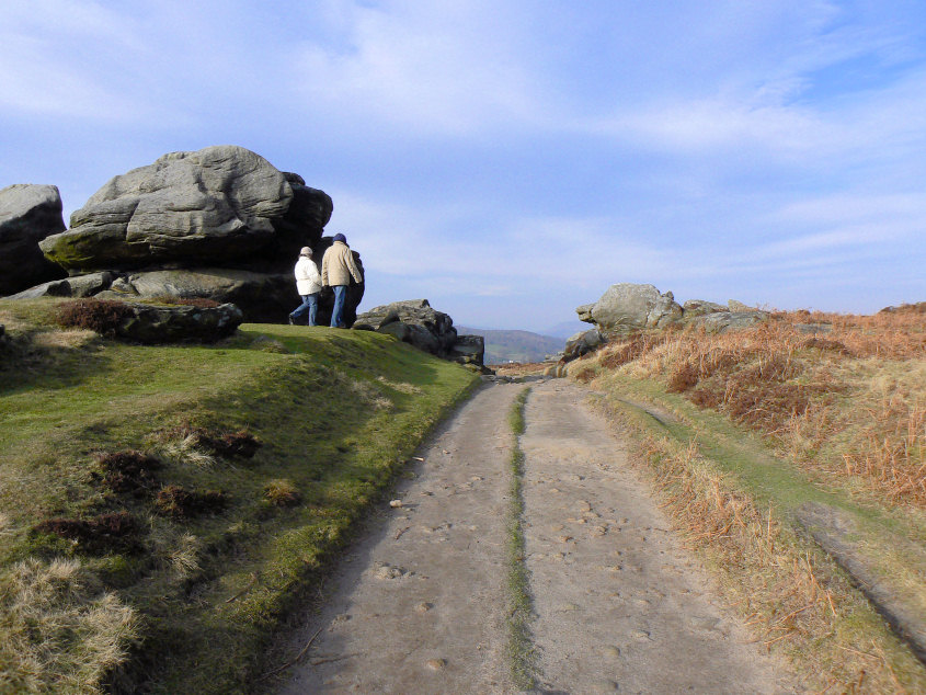
It's somewhere around this point of the walk that Froggatt Edge becomes Curbar Edge.
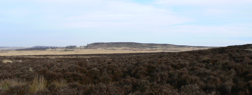
White Edge.
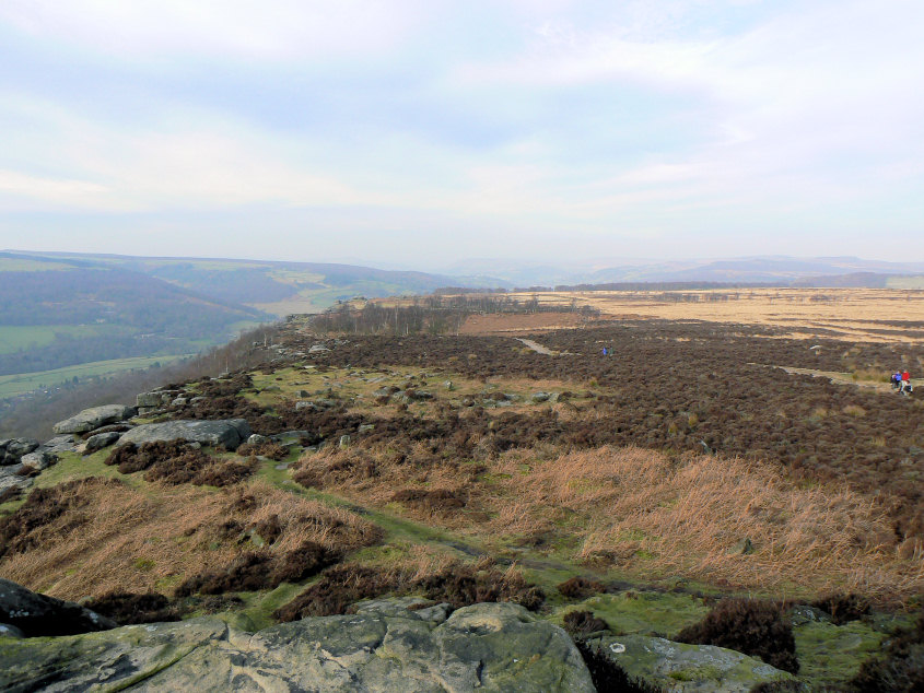
Looking back along Froggatt Edge from Curbar Edge.
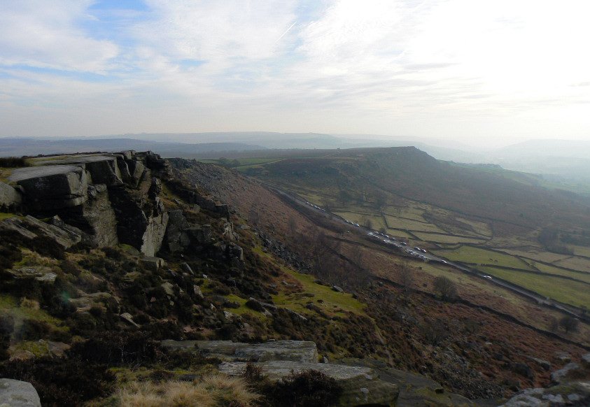
Baslow Edge from Curbar Edge.
All pictures copyright © Peak Walker 2006-2023