
Higger Tor - Peak District Walk
Thursday 27th August 2009
A quick dash out to check a route description. It was just as well I made an early start, as by the time I finished the walk there wasn't a space to be found in the car park. The grey start to the day soon gave way to warm sunshine, but the ground was very wet, after all of the recent rain.
Start: Upper Burbage Bridge (SK 2602 8298)
Route: Upper Burbage Bridge - Burbage Rocks - Burbage Brook - Higger Tor - Fiddler's Elbow - Upper Burbage Bridge
Distance: 3.25 miles Ascent: 209 metres Time Taken: 1 hour 30 mins
Terrain: Mainly good paths, some scrambling.
Weather: Warm and sunny.
Pub Visited: None Ale Drunk: None
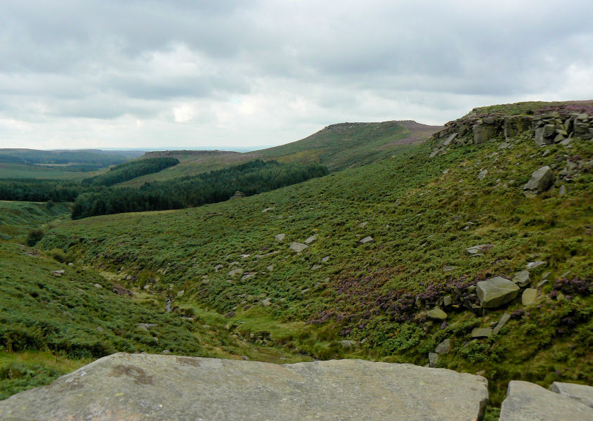
Fiddler's Elbow, Higger Tor and Carl Wark from Upper Burbage Bridge.

Looking along Burbage Valley from Burbage Rocks.
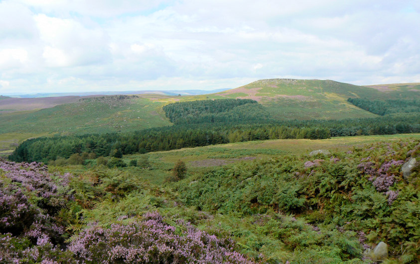
Carl Wark & Higger Tor, as the cloud starts to break.
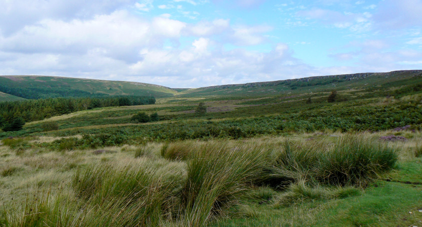
Burbage Valley, with Burbage Rocks on the right.
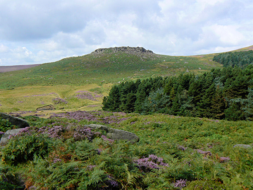
Carl Wark.

Carl Wark.
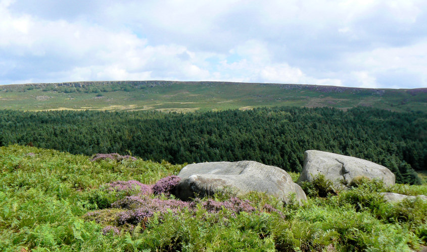
Burbage Rocks from the climb to Carl Wark.
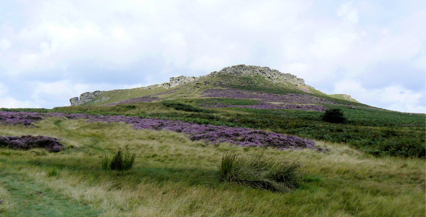
Higger Tor.
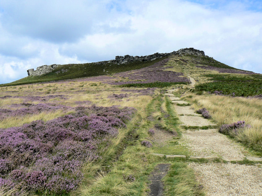
A, very briefly, empty path to Higger Tor.
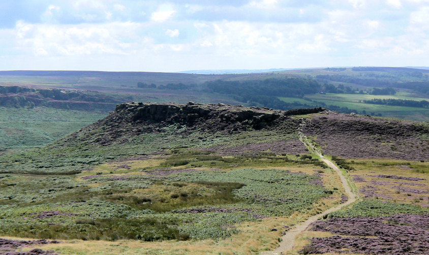
Carl Wark from Higger Tor.
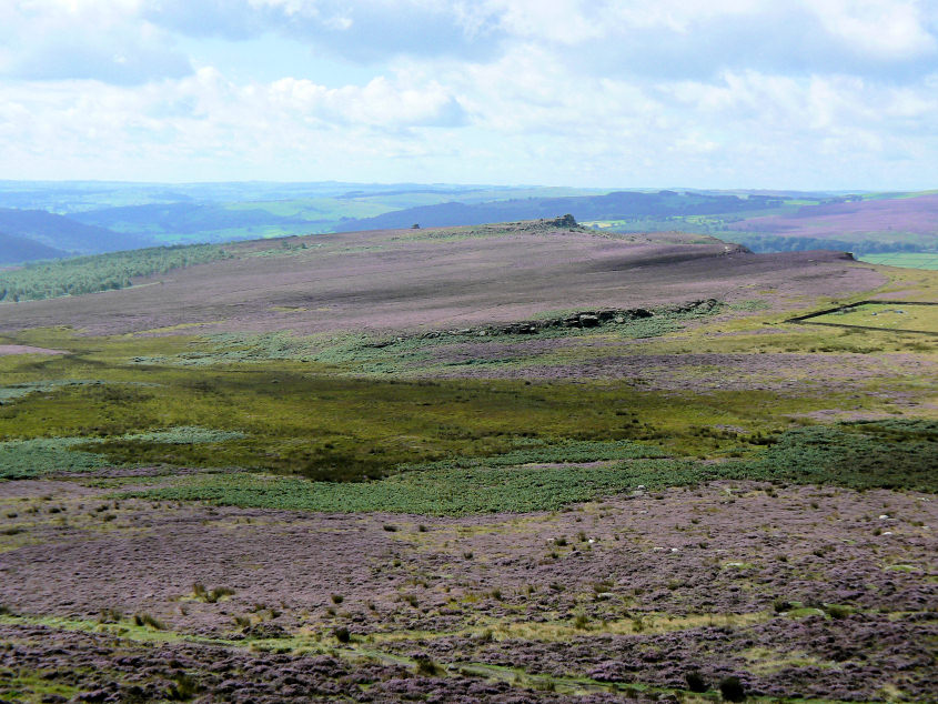
Looking across a very pink Hathersage Moor to Mother Cap & Over Owler Tor.
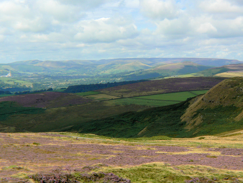
Hope Valley, the Great Ridge and Kinder plateau from Higger Tor.
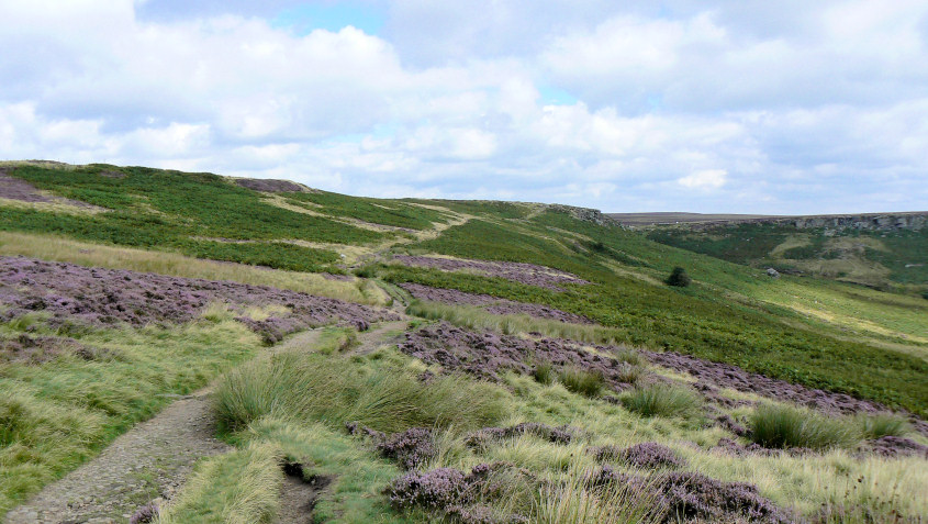
Heading towards Fiddler's Elbow.
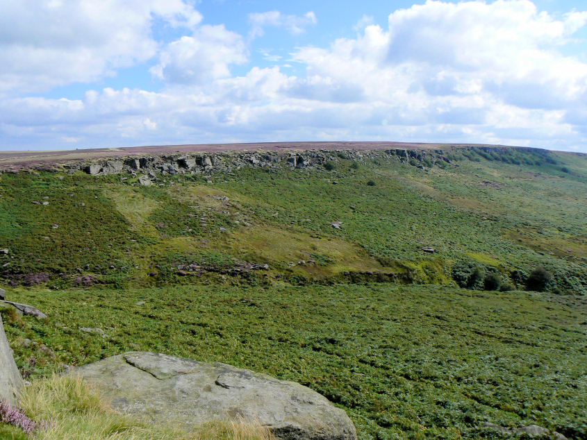
Burbage Rocks from Fiddler's Elbow.
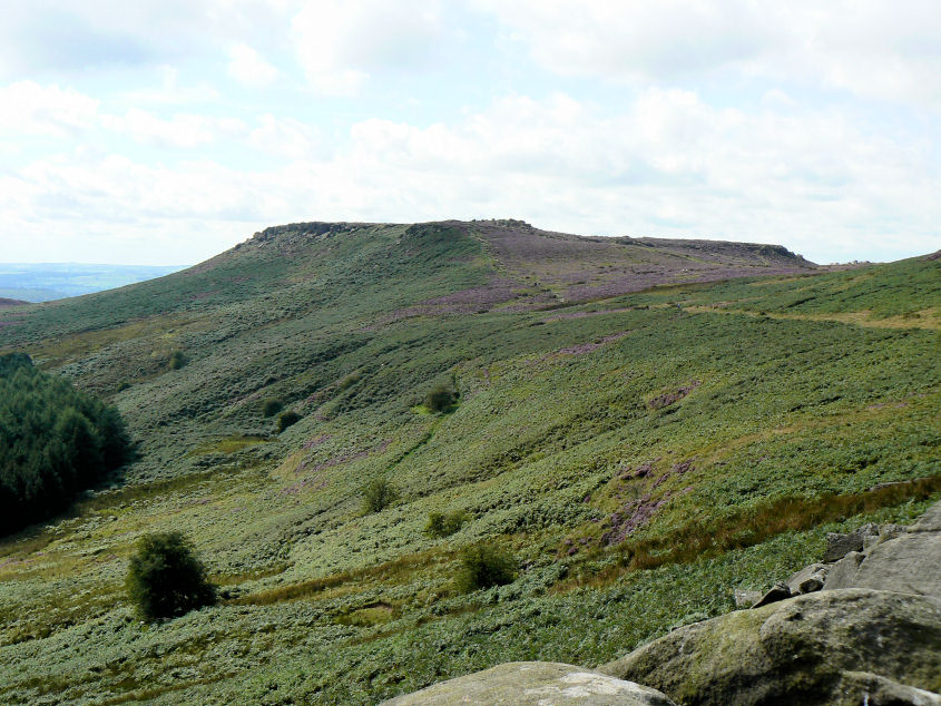
Higger Tor.

After the walk I needed to do some shopping in Bakewell and this time I remembered to take my camera so as that I could take a shot of the river Wye.
All pictures copyright © Peak Walker 2006-2023