
Knock Murton - Lake District Walk
Saturday 12th September 2009
I opted to change the direction we did this walk in order to do Knock Murton first. It turned out to be a good decision as it meant when we were running out of time we were able to cut the walk short far more easily than if we had of done it in the opposite direction.
Start: Felldyke (NY 0851 1987)
Route: Felldyke - Knock Murton (284) - Low Pen (285) - High Pen (286) - High Nook On Gavel Fell (287) - Gavel Fell (288) - Cogra Moss - Felldyke
Distance: 6.5 miles Ascent: 586 metres Time Taken: 5 hours 30 mins
Terrain: Very steep in places, mainly on good paths. One section with no path across rough heather and tussocks.
Weather: Warm and sunny.
Pub Visited: The Old Posting House, Deanscales Ale Drunk: The Old Posting House, Deanscales
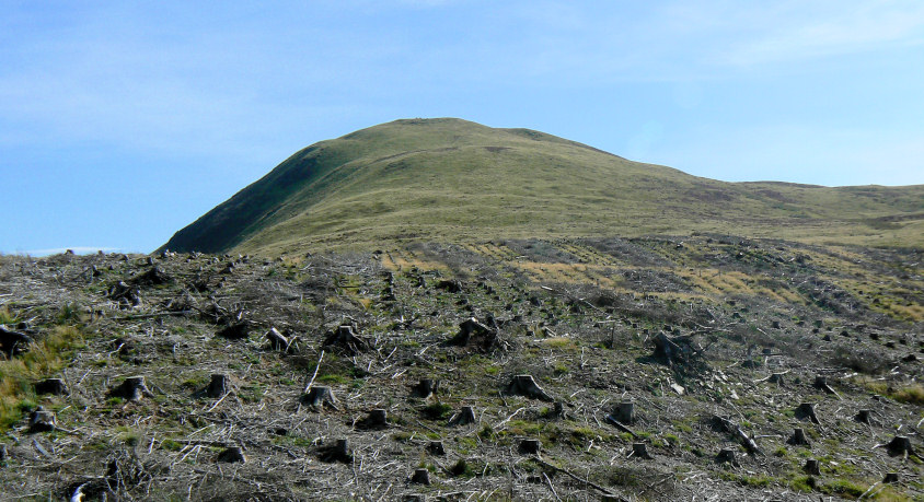
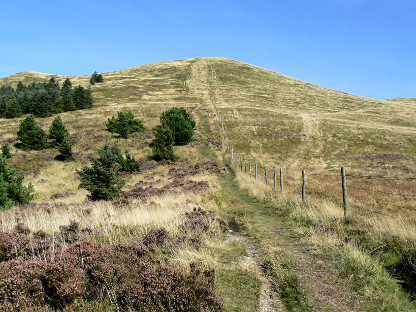
A first look at Knock Murton and the first ascent of the day.
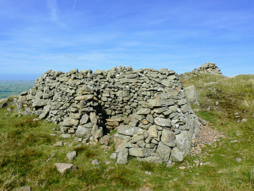
It was hard work under the hot sun but we eventually reached the summit.
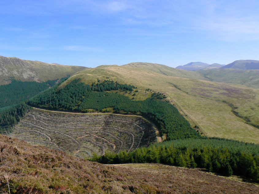
The next three tops were all in sight from the summit of Knock Murton. The trouble is it's a long way down first and then back up the other side.
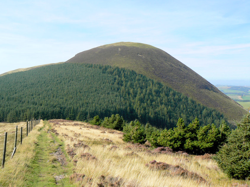
Looking back we can't quite believe we actually came down that. Thank goodness we didn't have to go up it at the end of the walk as it would definitely have been left for another day. The only problem is that somewhere near the top of the heather I managed to lose the cover for my wide-angle lens. I only found out when we reached the tree line and I wasn't going back up for it!
A nice and steady ascent to the summit of Low Pen, just what we needed after tackling Knock Murton.
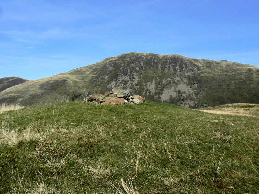
The summit of Low Pen. A very agreeable spot for lunch, with a great view across to Blake Fell.
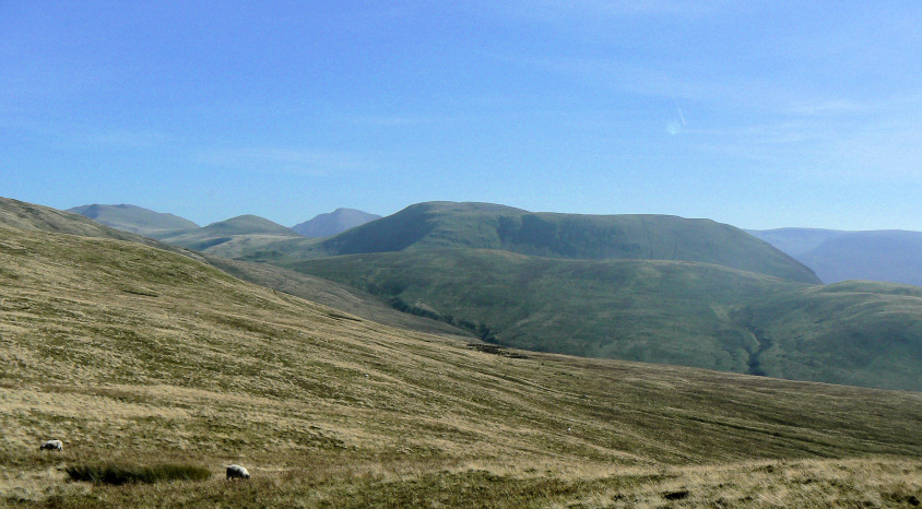
In the opposite direction the view included Banna Fell, which should have been one of the fells in today's walk.
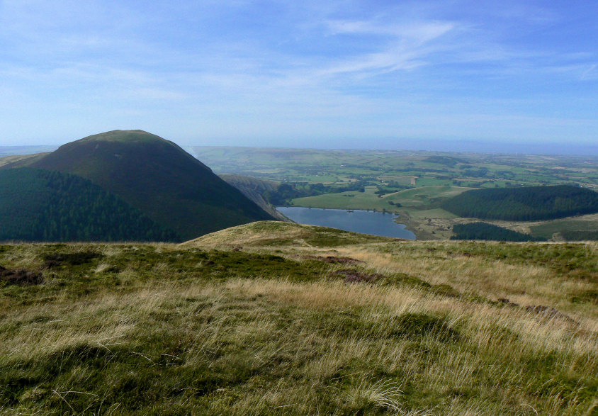
Cogra Moss from Low Pen's summit.
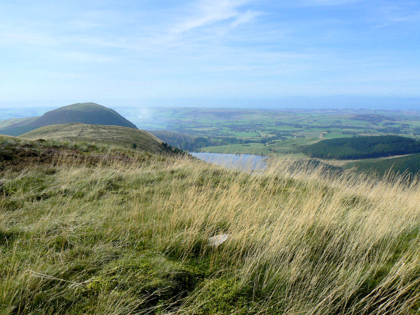
Virtually the same view, but this time from High Pen's summit.
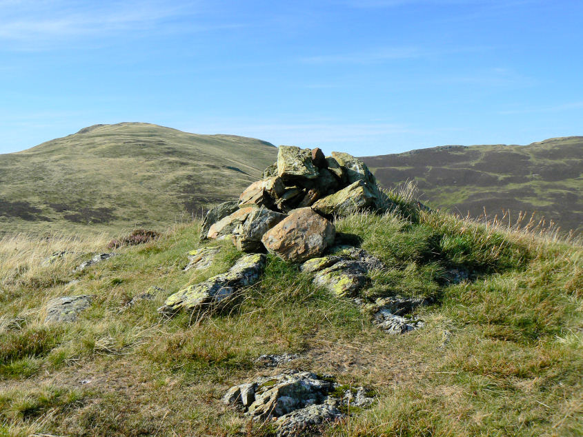
After much bog-hopping, walking through tussocks and heather we eventually reached the summit of High Nook on Gavel Fell. The views that greeted us more than made up for the effort it took to get there.
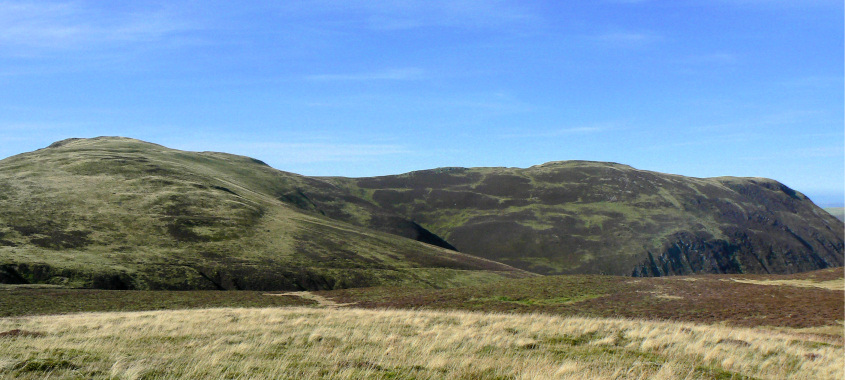
Looking back towards Blake Fell and Carling Knott.
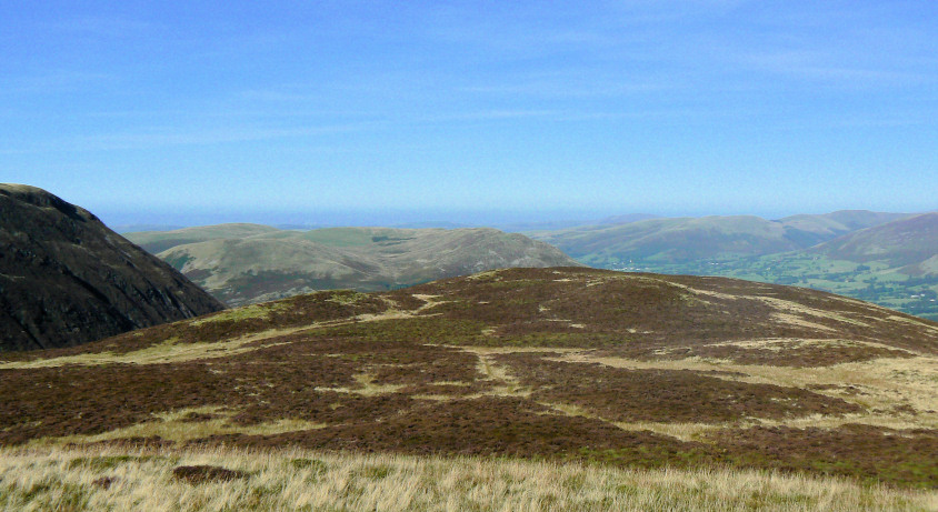
Across to Loweswater Fell and along Lorton Vale.
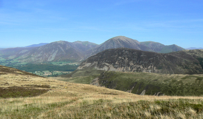
Across Mellbreak, to Whitesde and Grasmoor.
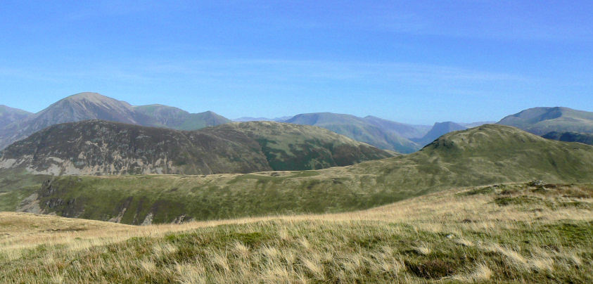
Fleetwith Pike behind Hen Comb.
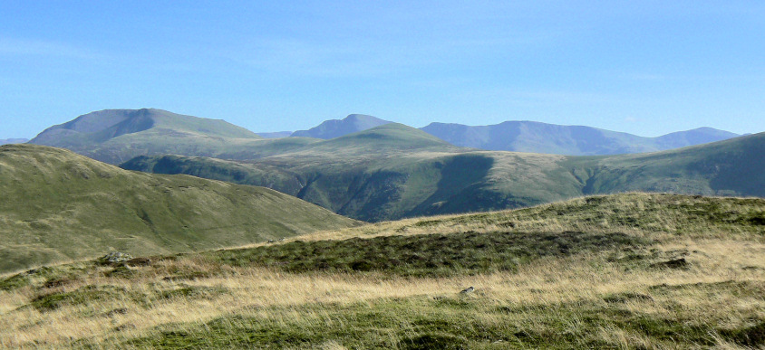
High Stile and Pillar.
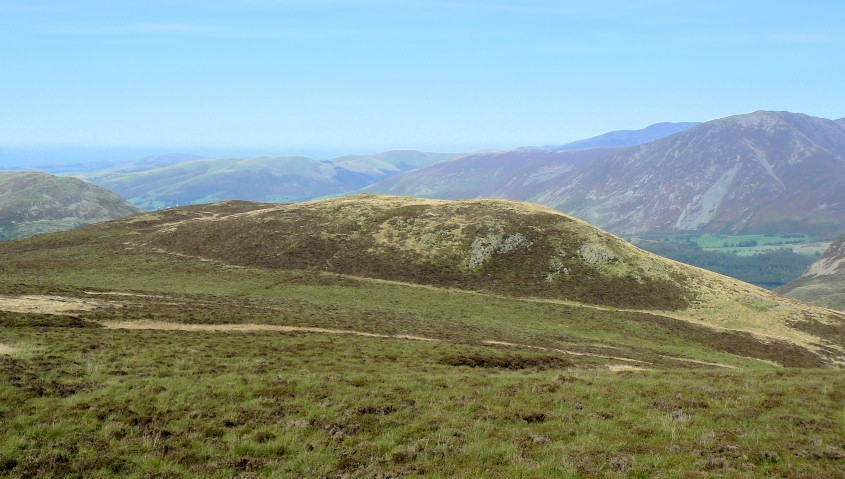
Looking back to High Nook from the slopes of Gavel Fell.
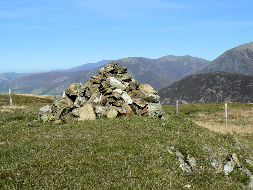
Gavel Fell's summit. The plan had been to head out to Floutern Cap and then return to Banna Fell but the thought of more bog-hopping and another steep climb, along with the time of day meant we opted at this point to cut the route short and instead head down to Cogra Moss.
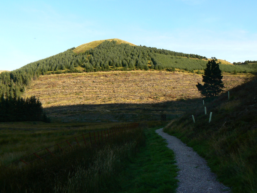
We arrived at Cogra Moss just as the sun was starting to get lower in the sky. Here it lights up Low Pen.
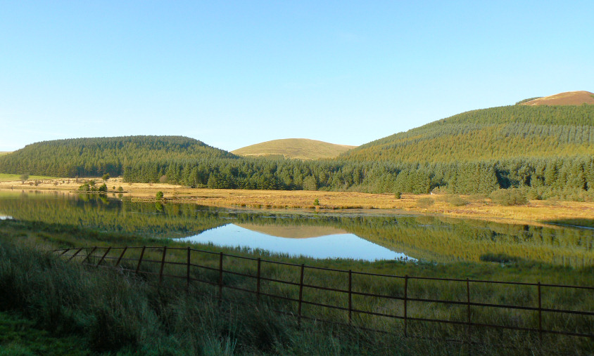
Owsen Fell is reflected in Cogra Moss.
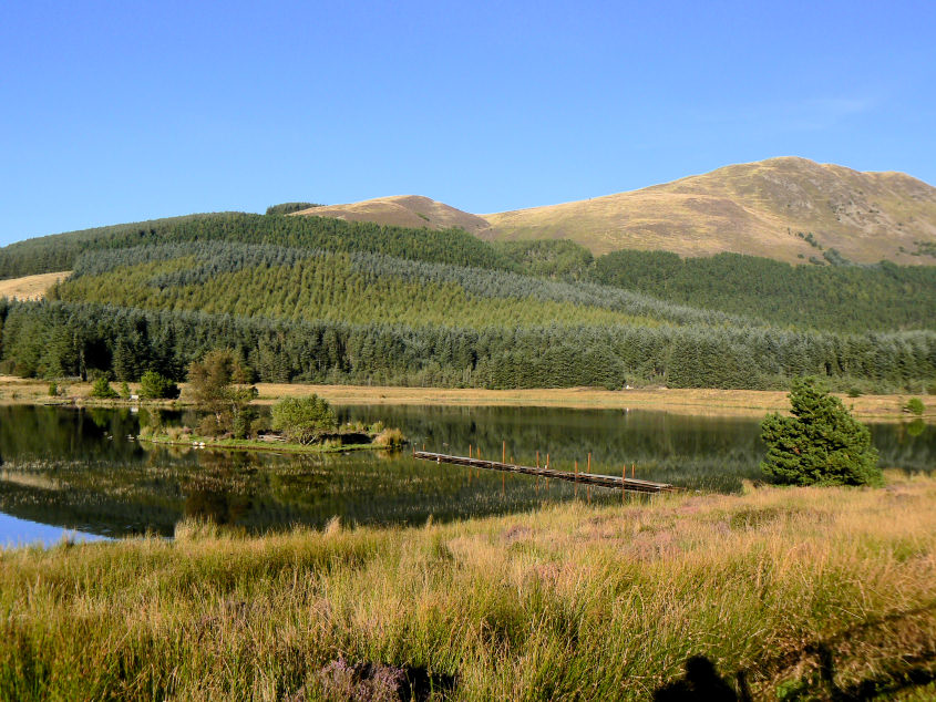
More reflections in Cogra Moss.
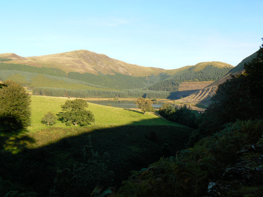
A final look back at Blake Fell and Cogra Moss.
All pictures copyright © Peak Walker 2006-2023