
Souther Fell - Lake District Walk
Sunday 6th March 2011
We had been invited to Cumbria to help my niece celebrate her 18th birthday the night before and so, of course, we couldn't miss the opportunity to get a day's walking in as well. The original plan had been to include Bannerdale Crags but the climb up Souther Fell soon showed how unfit the enforced months away from the fells had made me, so we opted for a leisurely stroll along the top of Souther Fell and back along the Glenderamackin Valley instead.
Start: Mungrisdale (NY 3647 3004)
Route: Mungrisdale - Souther Fell (310) - White Horse Bent - Glenderamackin Valley - Mungrisdale
Distance: 5.5 miles Ascent: 351 metres Time Taken: 3 hours 40 mins
Terrain: Good.
Weather: Warm and sunny.
Pub Visited: The Sportsman Inn, Troutbeck Ale Drunk: Jennings Bitter
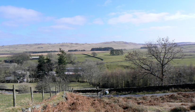
Looking back to Eycott Hill as we arrive at the start of the climb onto Souther Fell.
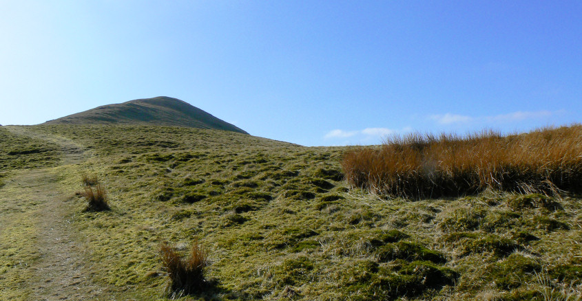
It looks like it could be the summit of Souther Fell, but it's not.
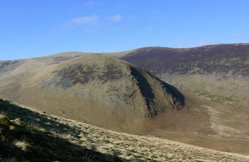
Looking towards The Tongue, as we continue to climb towards the summit.
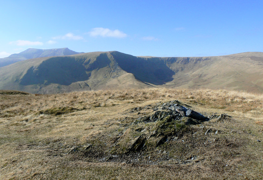
Looking towards Bannerdale Crags from Souther Fell's summit. Sadly any views in the opposite direction were lost in the haze.
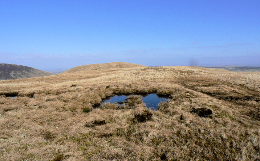
A damp but flat trip across Souther Fell.
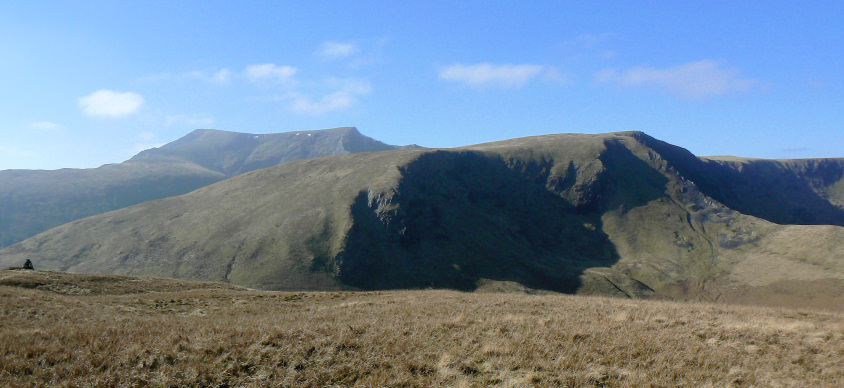
Blencathra behind Bannerdale Crags.

The cairn on the south western side of Souther Fell.
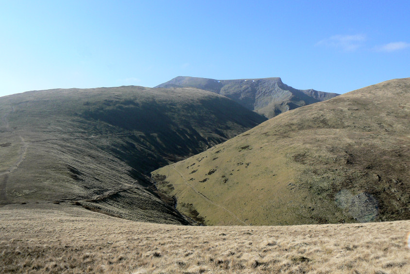
Heading towards Mousthwaite Col and then down to White Horse Bent.
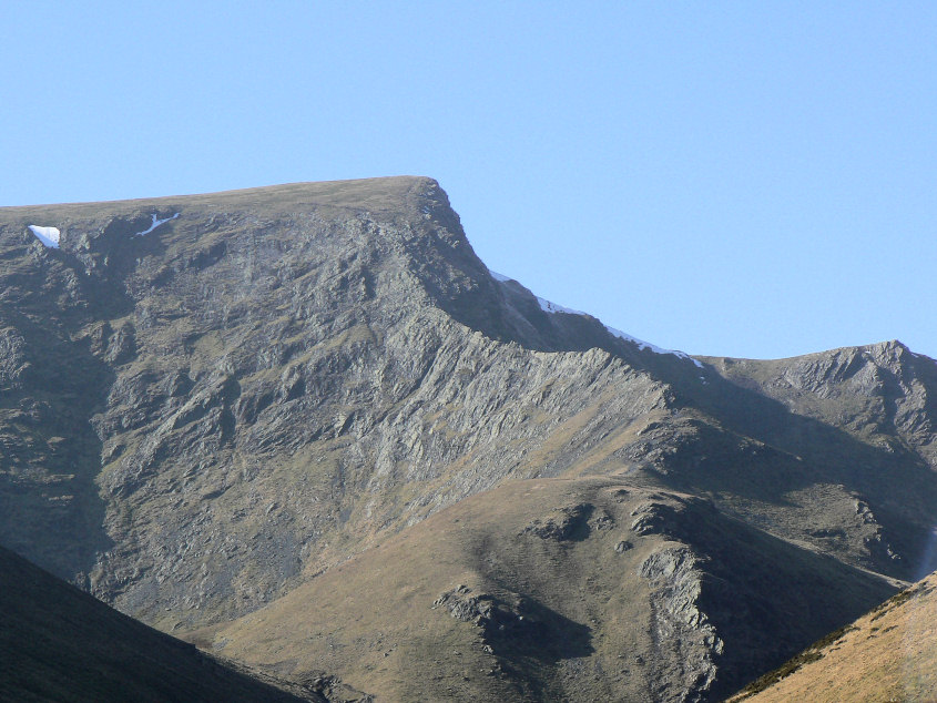
A close up of Sharp Edge, not a place I'm ever likely to be found on.
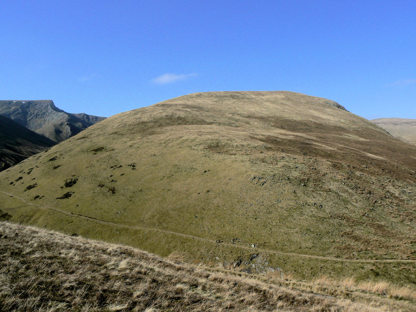
Looking at the climb we would have had to do to get onto Bannerdale Crags confirms that it can wait for another day, when I'm a lot fitter.

Glenderamackin River.

All that remains now is for us to take a leisurely stroll back down the Glenderamackin Valley and to find a nice spot for some lunch, before we head home.
All pictures copyright © Peak Walker 2006-2023