
Stanage Edge - Peak District Walk
Tuesday 12th April 2011
March's planned walks never materialised, after family issues and work got in the way, so it was really nice to finally be able to escape to the hills once more. With no work pressures I was able to take as long as I liked today and even ended up extending the walk.
Start: Dennis Knoll car park (SK 2274 8432)
Route: Dennis Knoll car park - Long Causeway - Stanage Edge - High Neb (TP) - Stanage End - Bamford Moor - Bamford Edge - Dennis Knoll car park
Distance: 6.75 miles Ascent: 302 metres Time Taken: 4 hours 4 mins
Terrain: Good paths on the edges but frequently pathless moorland between them.
Weather: Generally sunny but with a cool breeze.
Pub Visited: None Ale Drunk: None
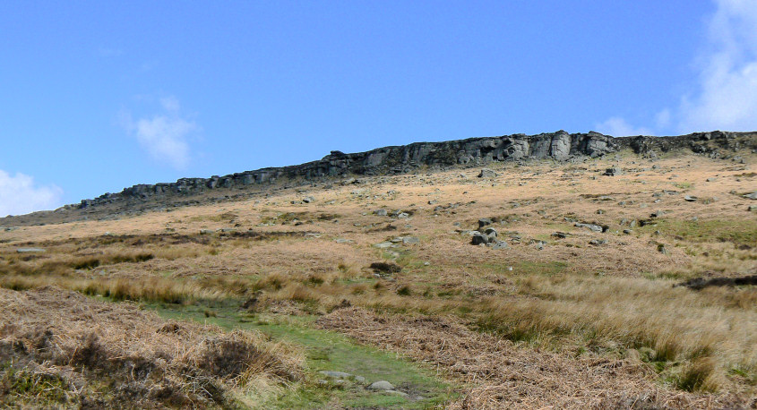
As I start out the weather looks promising over Stanage Edge.
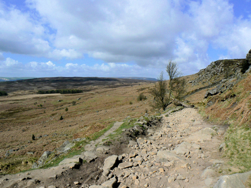
Looking back down the Long Causeway and across Bamford Moor.
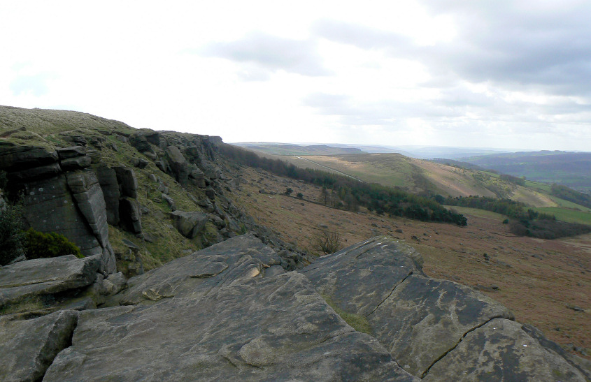
Cattis-Side Moor is getting all the sun as I reach Stanage Edge.
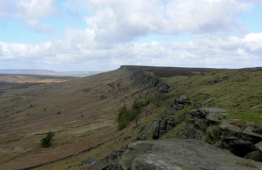
I'll be heading in the opposite direction, along the top of the edge towards High Neb.
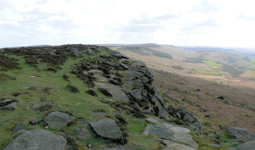
Looking back towards a distant Higger Tor as the sky clouds over and I start to debate putting my gloves on.
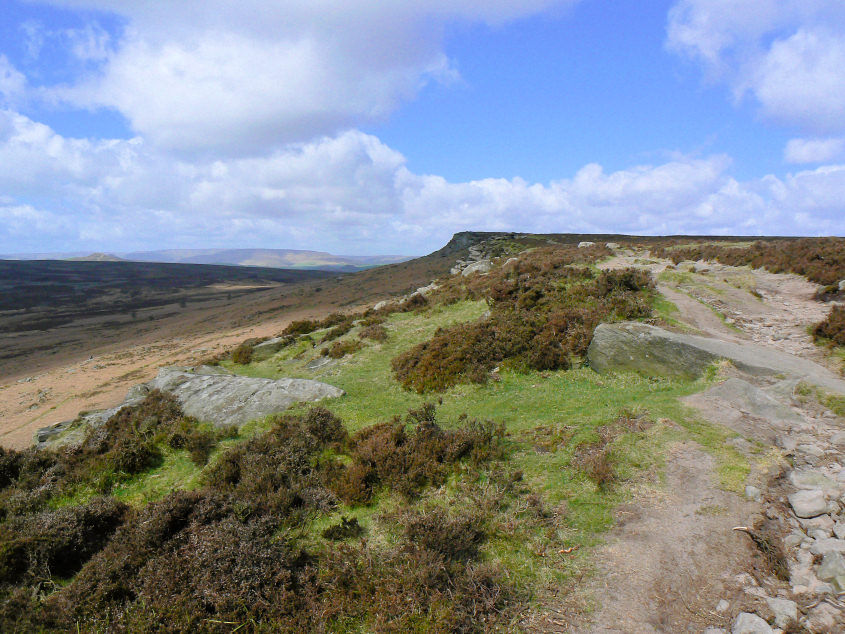
Getting closer to High Neb and the weather seems to be improving.
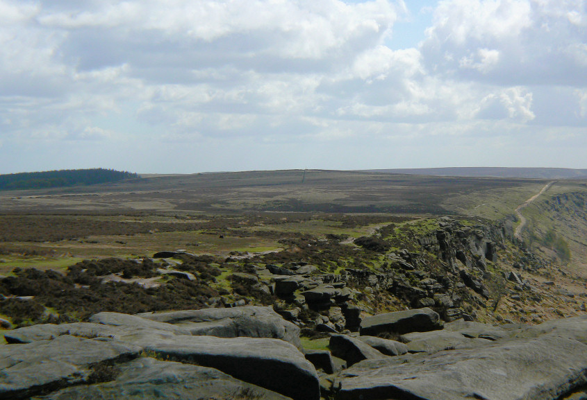
Just before I reach High Neb I find a sheltered spot for a quick snack and sit admiring the view across to Stanedge Pole.
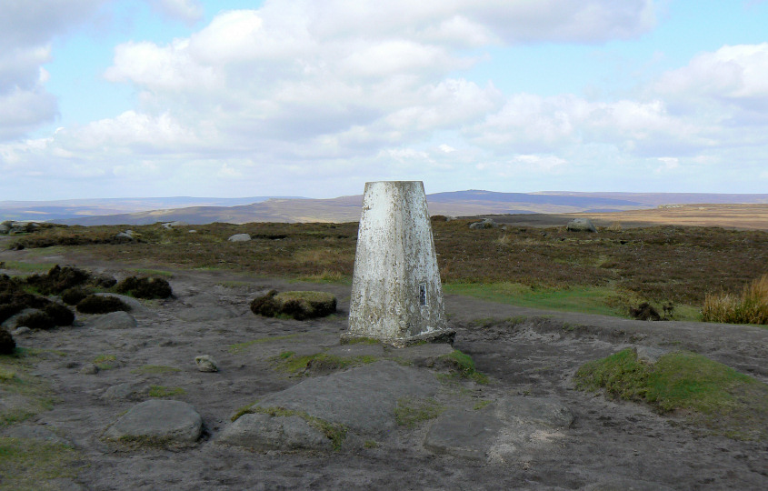
Having reached High Neb the view opens out to include Derwent Edge.
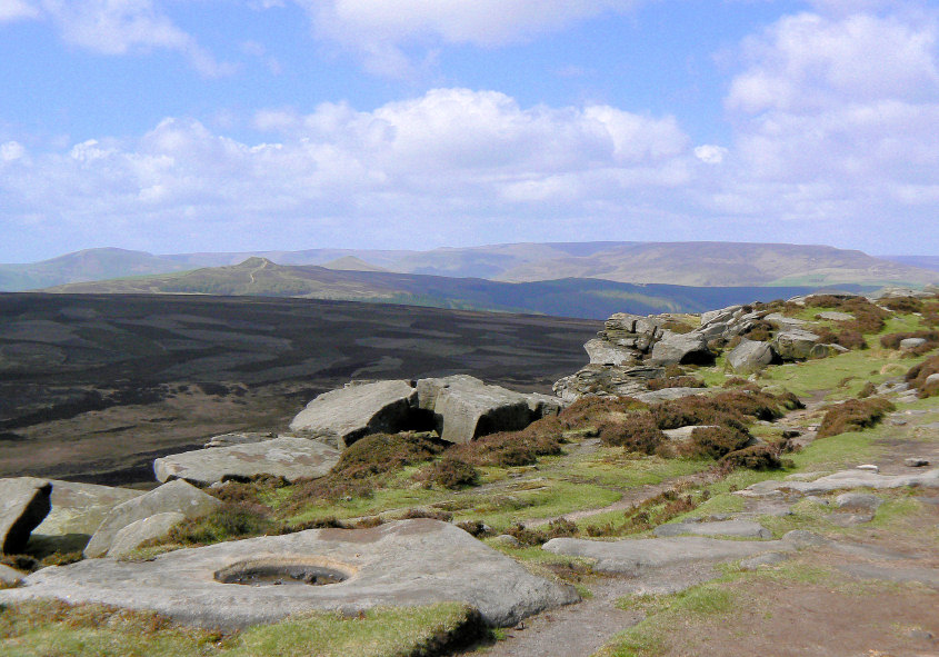
Win Hill is also clearly visible now.
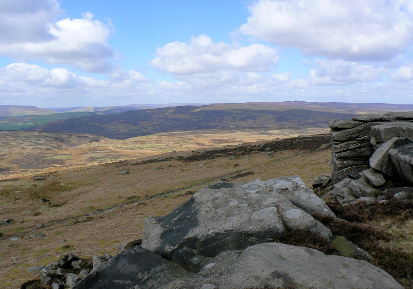
Moscar Moor is lit up by the sun as I start to debate heading over to Bamford Edge.
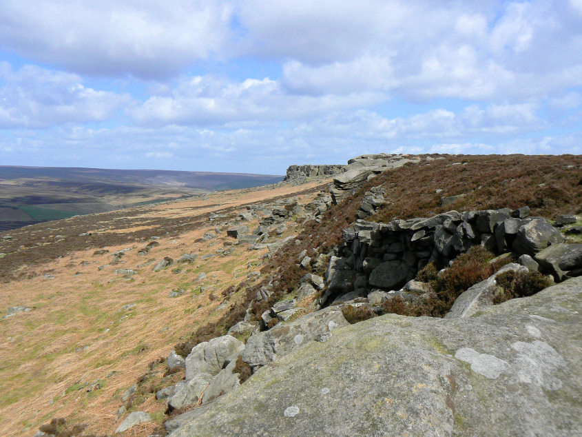
Stanage End comes into view and I'm still debating returning below the rocks or heading across the moor.
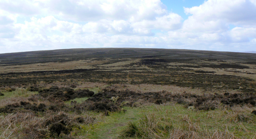
As I approached the big collection of mill stones below the edge, which I'd been hoping to photograph, I spot the group of climbers lunching by them. I also spot a nice clear path heading across the moor, decision made. A quick text message home to advise on the change of route and I head across the moor hoping I'm not in for a wet crossing.
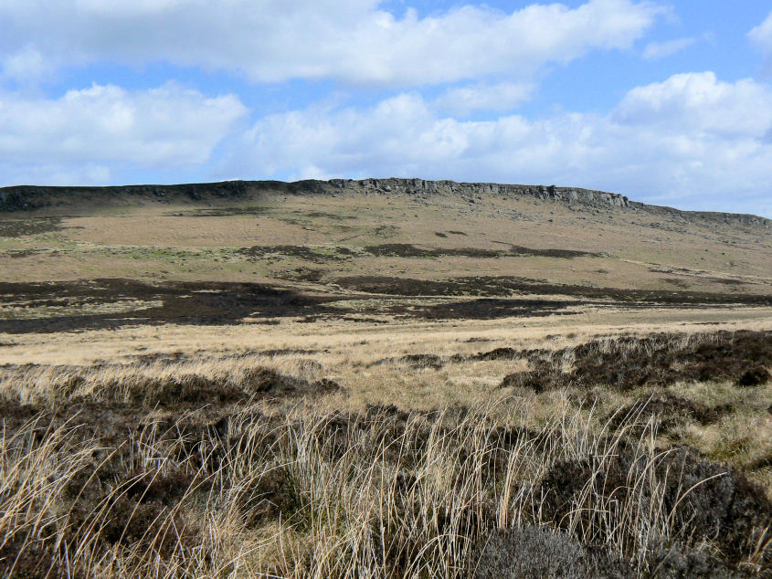
Stanage Edge from Bamford Moor.
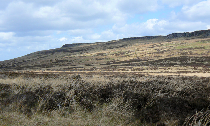
Stanage End from the same place.
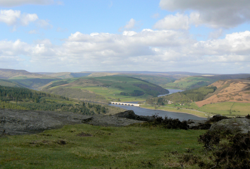
My reward for crossing the moor, lunch with a view. I sat here with the place completely to myself, unless you count birds, watching numerous people coming and going on the summit of Win Hill.
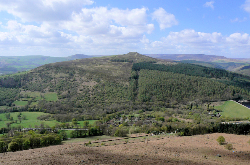
Win Hill from Bamford Edge.
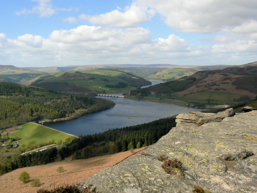
Ladybower and Crook Hill, from the edge.
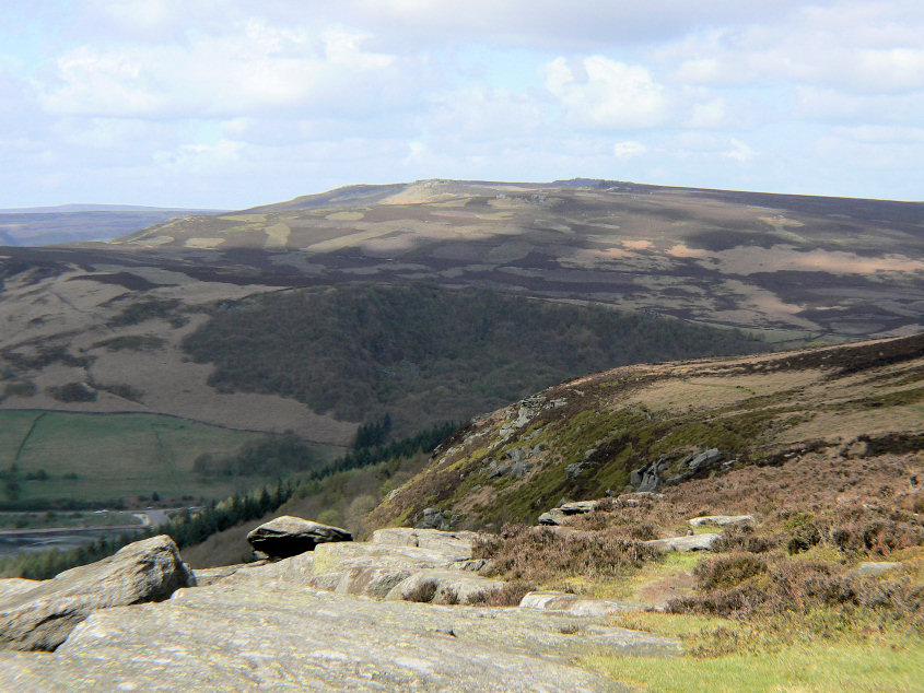
The sun threatens to light up Derwent Edge.
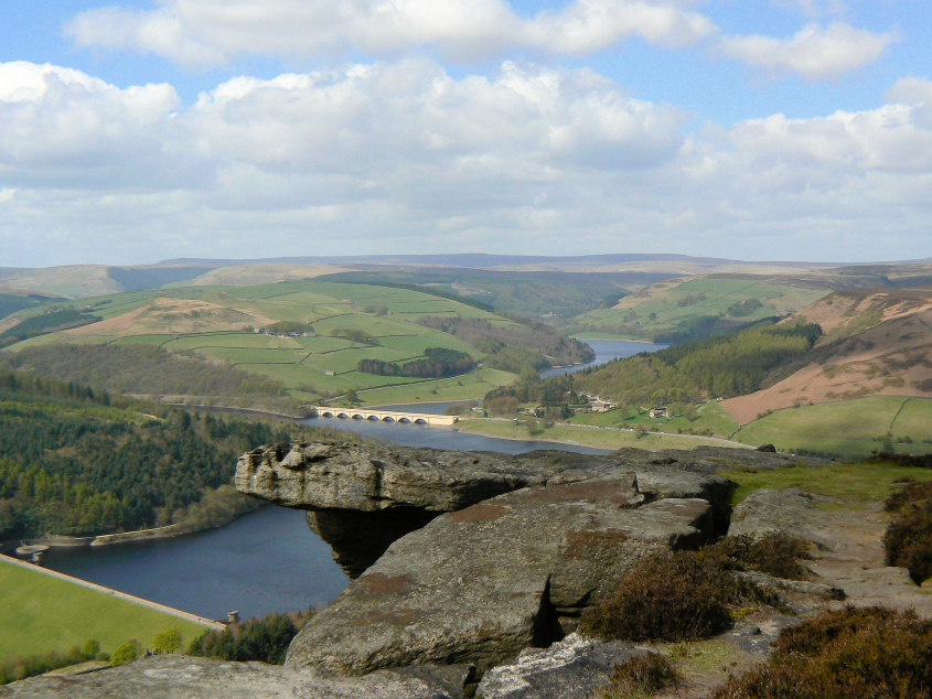
An attempt to recreate the shot I had previously used for the website's main header.
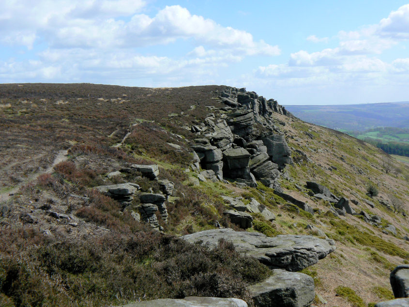
Heading along Bamford Edge.
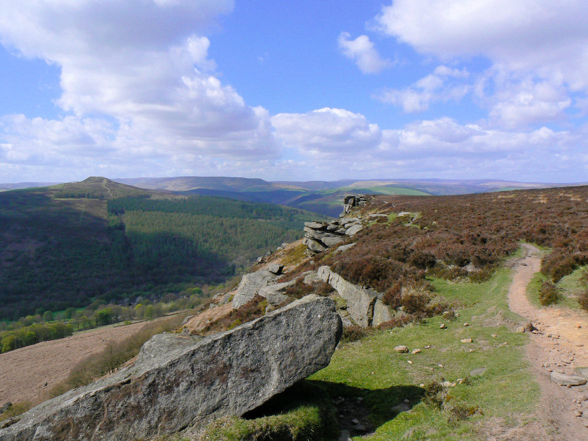
A last look back along the edge. As soon as I'm fit enough some of those distant moors will be revisited.
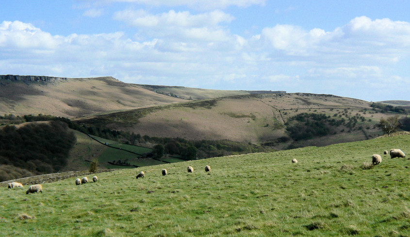
Heading back along the road and the car, as the sun finally creates some real warmth and lights up Cowper Stone.
All pictures copyright © Peak Walker 2006-2023