
Wolfscote Dale - Peak District Walk
Saturday 16th April 2011
A rare walk on a weekend saw us walking through the relatively crowded Wolfscote Dale until eventually we found some peace and quiet in the less popular How Narrowdale.
Start: Milldale car park (SK 1362 5476)
Route: Milldale car park - Wolfscote Dale - How Narrowdale - Alstonefield - Milldale car park
Distance: 6.75 muiles Ascent: 342 metres Time Taken: 3 hours 55 mins
Terrain: Clear and easy paths.
Weather: Warm but generally overcast.
Pub Visited: The George, Alstonefield Ale Drunk: Brakspear, Oxford Gold
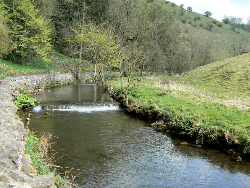
The river Dove as it flows through Mill Dale.
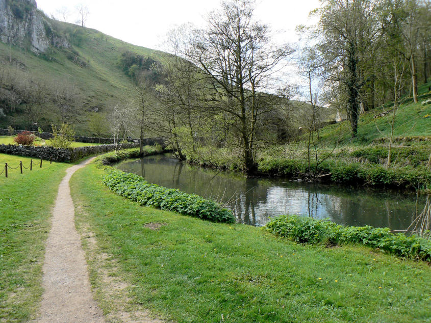
Entering Wolfscote Dale.
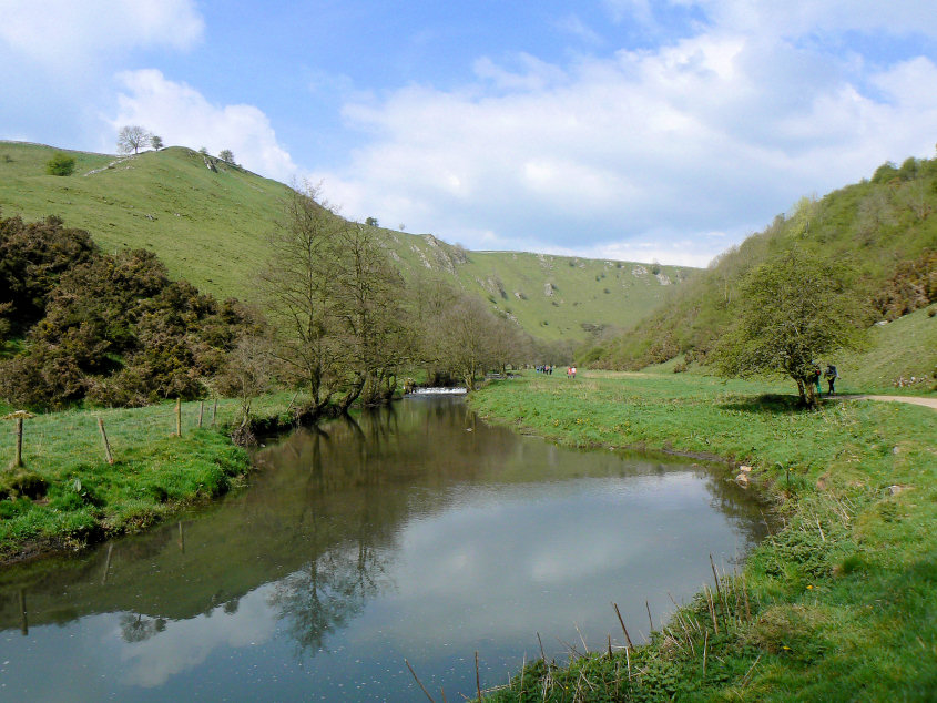
Despite what the pictures might suggest I have never seen Wolfscote Dale as busy as it was today and it was quiet compared to Dove Dale.
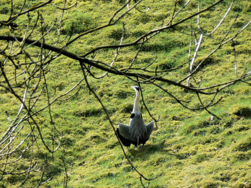
This heron sat on the opposite bank to the path quite determined to ignore the crowds and firmly keeping his back towards us.
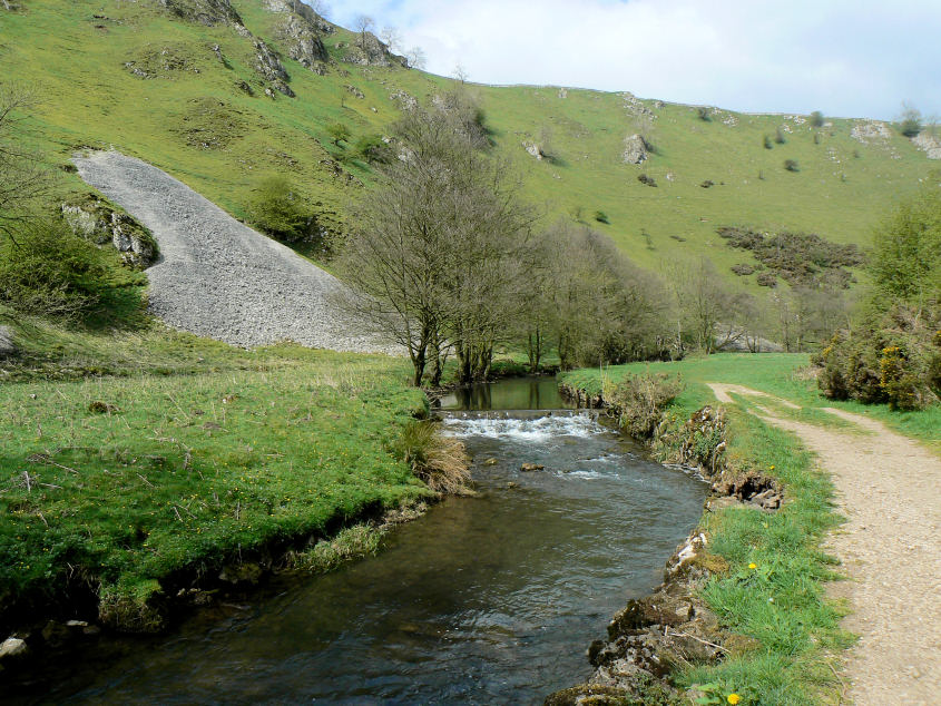
Following the path alongside the river.
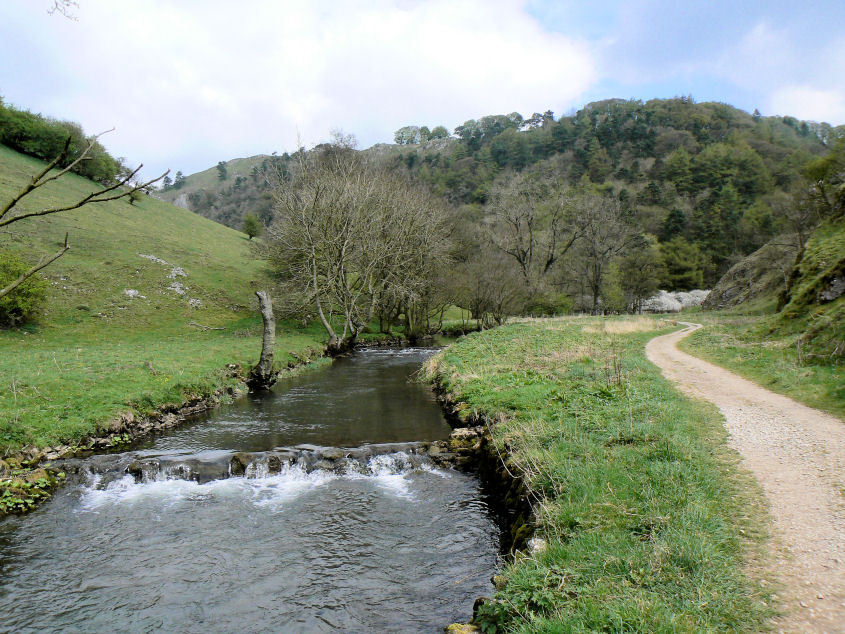
Iron Tors come into view.
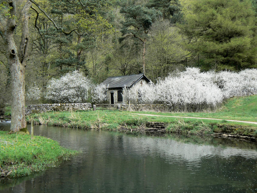
The white blossom close to Coldeaton Bridge stood out today.
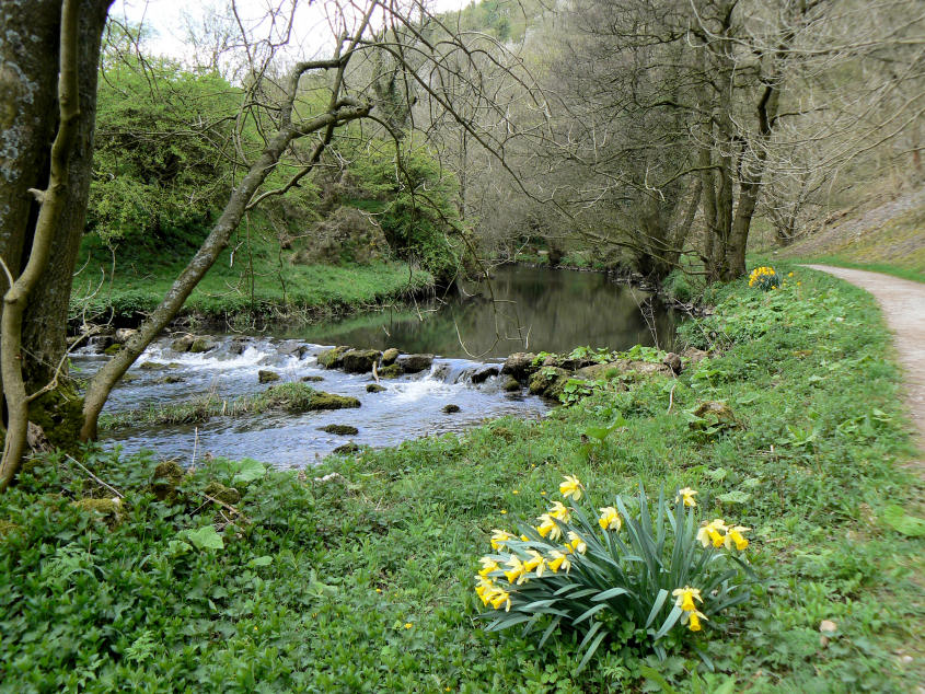
Daffodils were a frequent sight alongside the path.
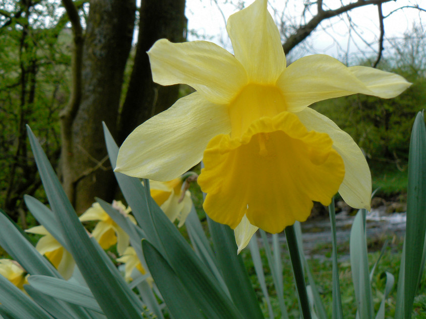
One carefully taken close-up.
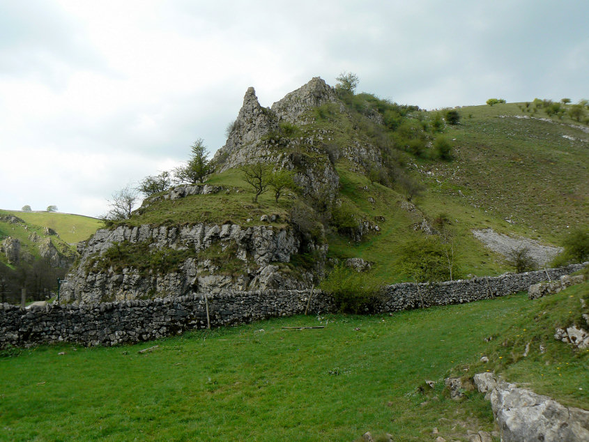
The limestone outcrop at the entrance to Biggin Dale.
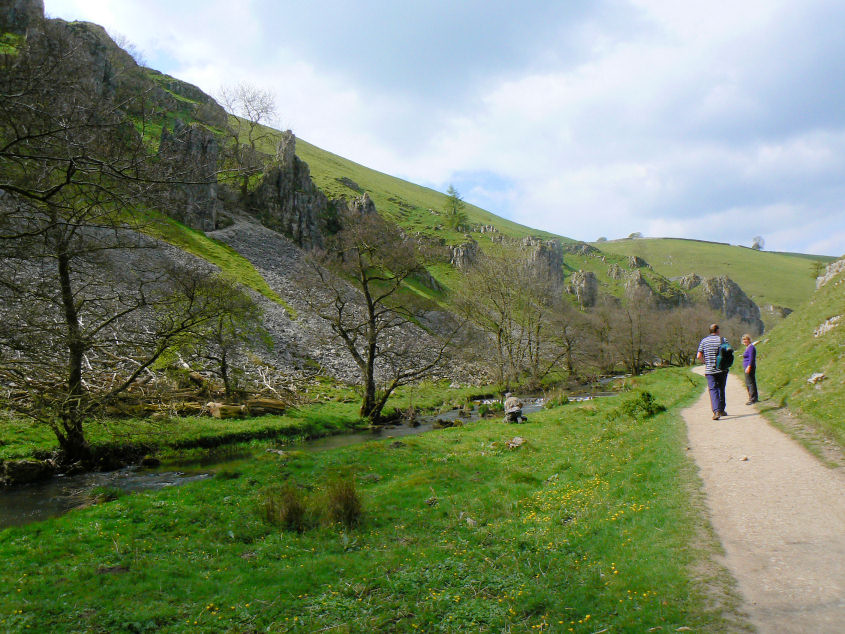
Peaseland Rocks, the best view is in the opposite direction but the sun was in the wrong place for that shot.
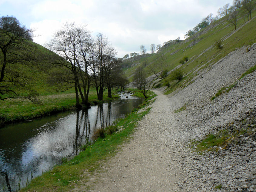
The scree is a sign that, when walked in this direction, you are nearing the end of Wolfscote Dale.
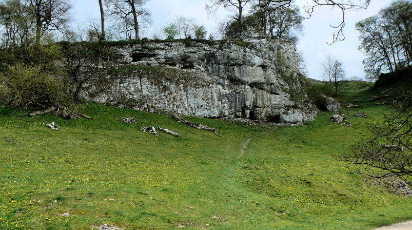
The caves at the end of Wolfscote Dale.
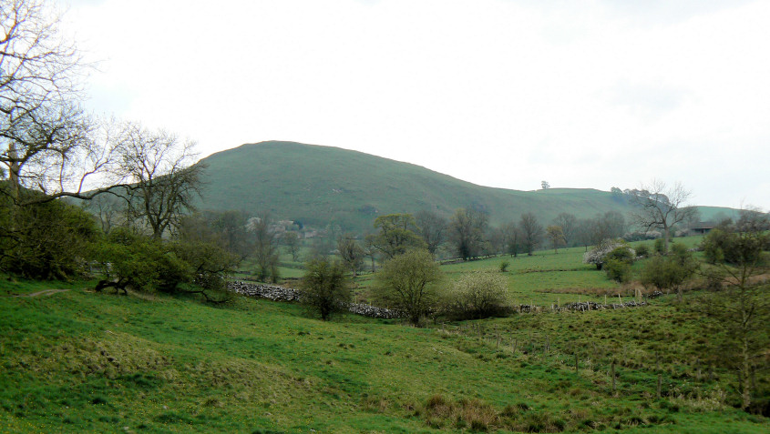
Narrowdale Hill as we leave the crowds behind and head towards Alstonefield.
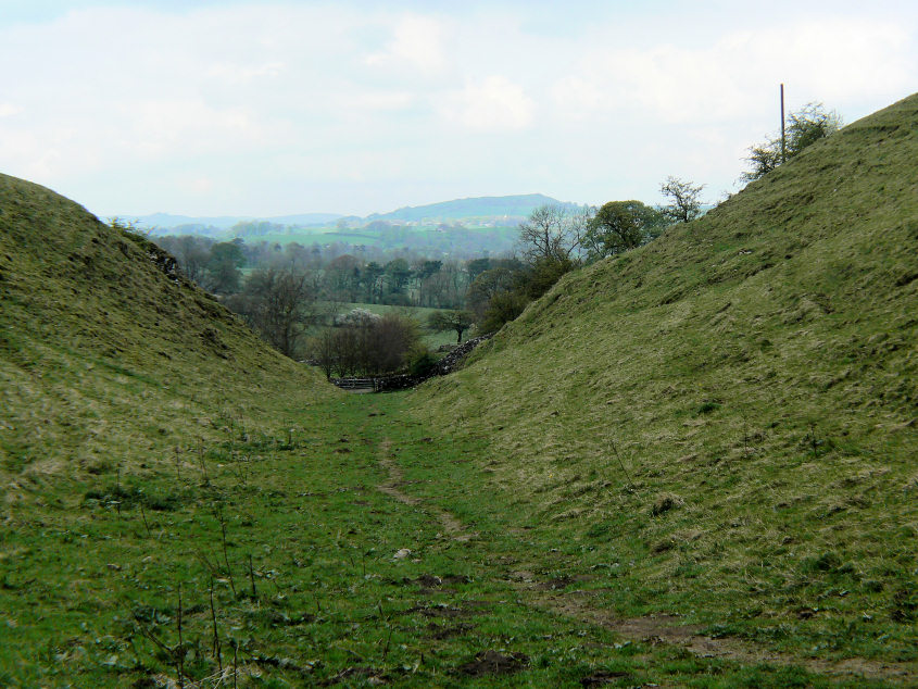
Carder Low in the distance from How Narrowdale.
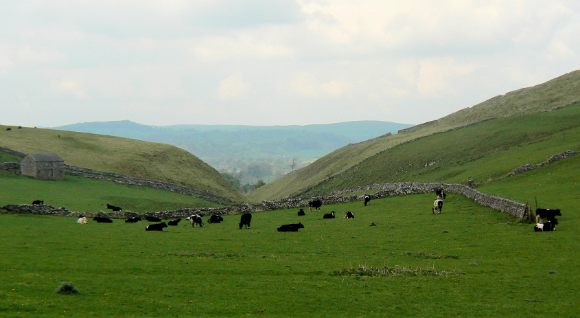
Looking back to How Narrowdale. It was here that we came across a lost waterproof coat. We debated what to do with it and hopefully got it back to its rightful owner but I remain unimpressed with the emergency contact numbers the D of E party were given, not one of whom answered when we rang or has since replied to the text messages I sent them.
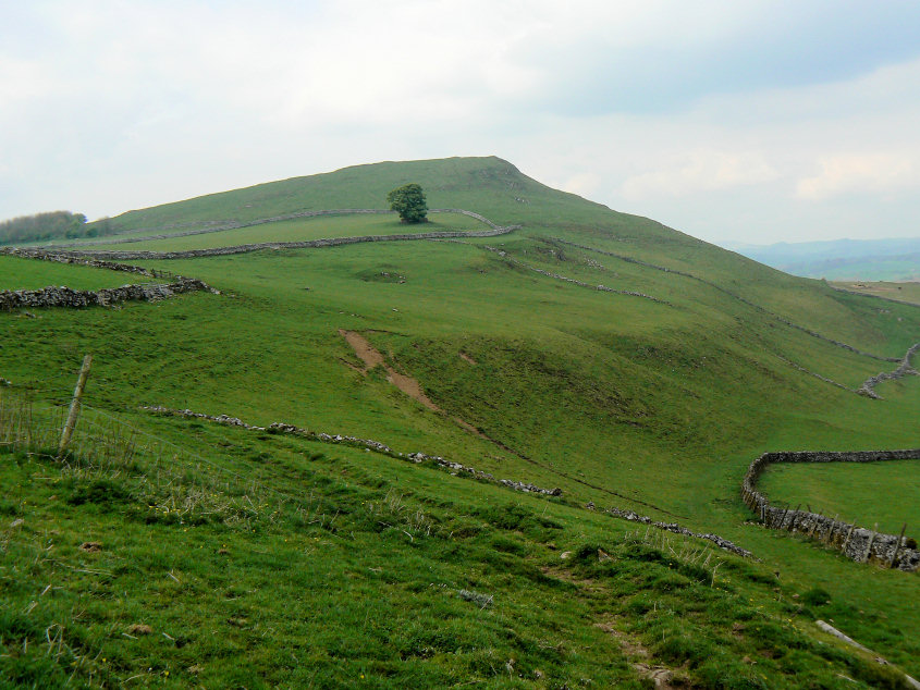
Looking across to Narrowdale Hill from the top of the dale.
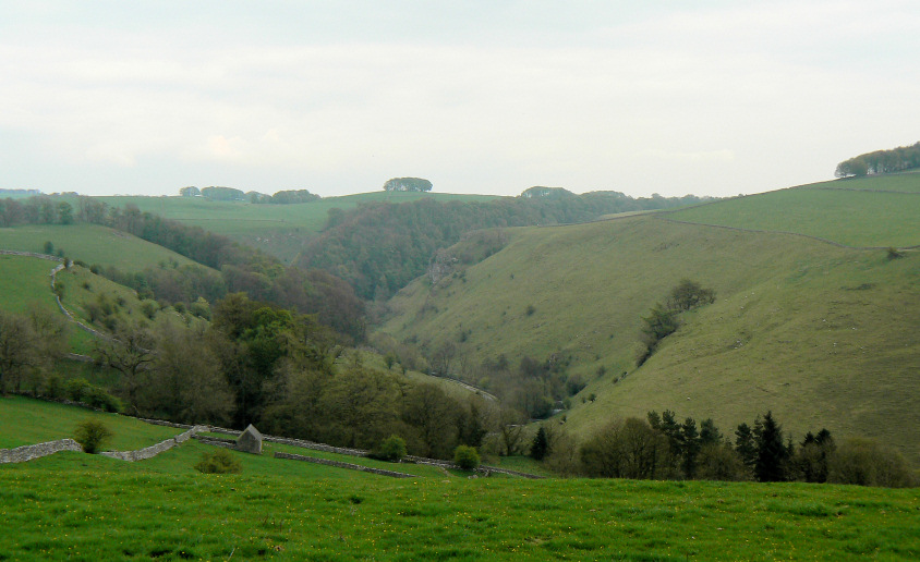
Looking across Mill Dale and Shining Tor, just before we make the steep descent back down to Milldale.
All pictures copyright © Peak Walker 2006-2023