
Dove Dale - Peak District Walk
Monday 30th April 2012
After all the recent rain today was forecast as the only good day for the week so I wasn't going to miss the opportunity for a walk. After the muddy walk last week I decided to opt for a route that would hopefully not be too muddy and as I haven't walked along the whole length of the valley floor in Dove Dale for several years the decision was made.
Start: Alsop Station car park (SK 1558 5494)
Route: Alsop Station - Milldale - Dove Dale - Thorpe Cloud - Thorpe - Tissington Trail - Alsop Station
Distance: 9.75 miles Ascent: 505 metres Time Taken: 5 hours
Terrain: Good paths and fields.
Weather: Warm and sunny.
Pub Visited: None Ale Drunk: None

Viators Bridge in Milldale, no ducks in the water today, they all appeared to be sat sunbathing.

All is quiet as I set off through Dove Dale.

Ravens Tor.

Standing at the entrance to Dove Holes was a bit like standing under the shower today.

Mind the view from my shower isn't as good as the view from the caves.

Looking back down the dale to Baley Hill.

It is rare for me to walk this section of the dale so I made the effort to climb up to the natural arch above the dale.

Looking back to Tissington Spires.

A rare sight, an empty Lover's Leap.

The best views across the dale to the Twelve Apostles are from Lover's Leap.

You also get a view of the top of Tissington Spires from there as well.

The famous stepping stones and I still think the slabs on top look a mess.

Looking back down to the stepping stones as I head up Thorpe Cloud.

The view back down Thorpe Cloud from the top.

Bunster Hill.

All those people who stay in the dale and never venture up miss a great view.

Heading for Thorpe and one last look back at Thorpe Cloud.

My return route was along the Tissington Trail, where information boards and old signs linked to the railway will tell you about the history of the trail.
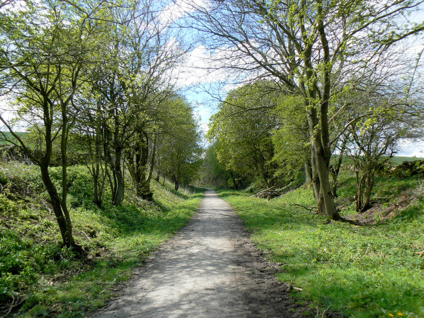
For most of this section of the trail you are walking in cuttings, where the only thing to see are the tress and flowers along the banks of the cuttings.

Emerging from one of the cuttings and the view improves, here looking across to Aleck Low.

As I approached Alsop Staion I came across another one the the Ranger Service benches, a new one to me. I wonder if I'll ever find all 50 of them.
All pictures copyright © Peak Walker 2006-2023