
Carrock Fell - Lake District Walk
Saturday 8th September 2012
A relatively easy, but long walk which would see us finish the Back O'Skiddaw fells.
Start: Apronful of Stones (NY 3538 3377)
Route: Apronful of Stones - Carrock Fell (359) - Round Knott (360) - Miton Hill (361) - High Pike (362) - Hare Stones (363) - Great Lingy Hill (364) - Little Lingy Hill (365) - Coomb Height (366) - Mosedale - Apronful of Stones
Distance: 9.25 miles Ascent: 683 metres Time Taken: 6 hours 55 mins
Terrain: Generally clear tracks.
Weather: Generally warm and sunny.
Pub Visited: The Mill Inn, Mungrisdale Ale Drunk: Hartley's Cumbrian XB
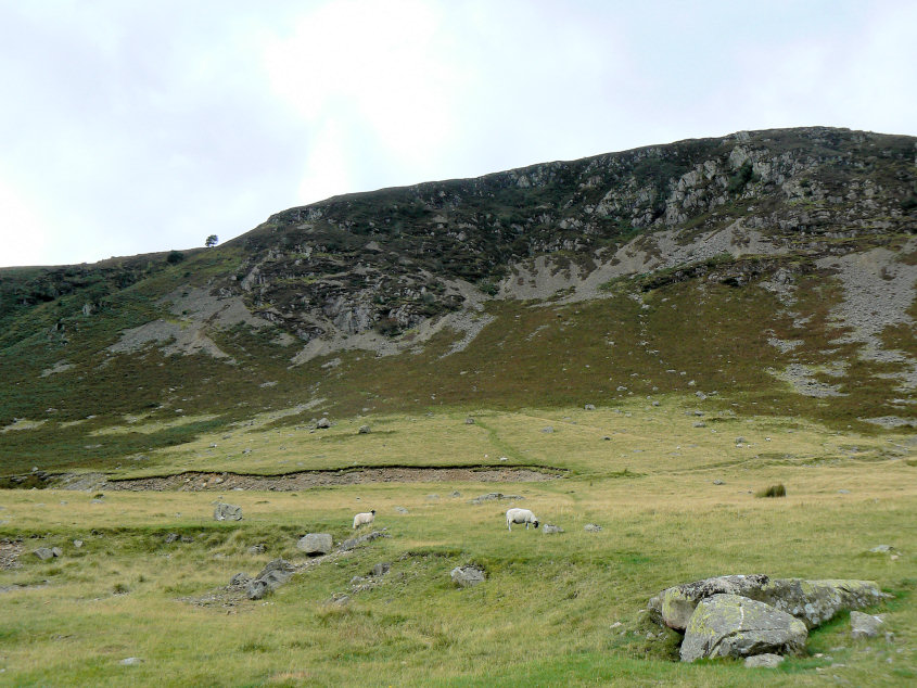
Carrock Fell from where we parked the car at Apronful of Stones.
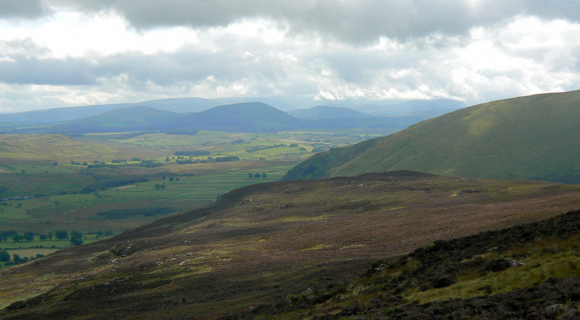
The clouds seem to be gathering over Great Mell.
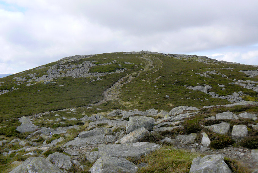
The summit of Carrock Fell comes into sight.
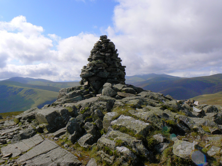
Carrock Fell's summit cairn.
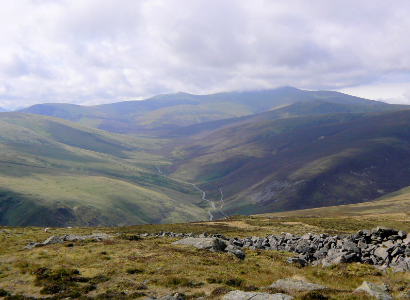
Looking along the Caldew Valley from the summit.
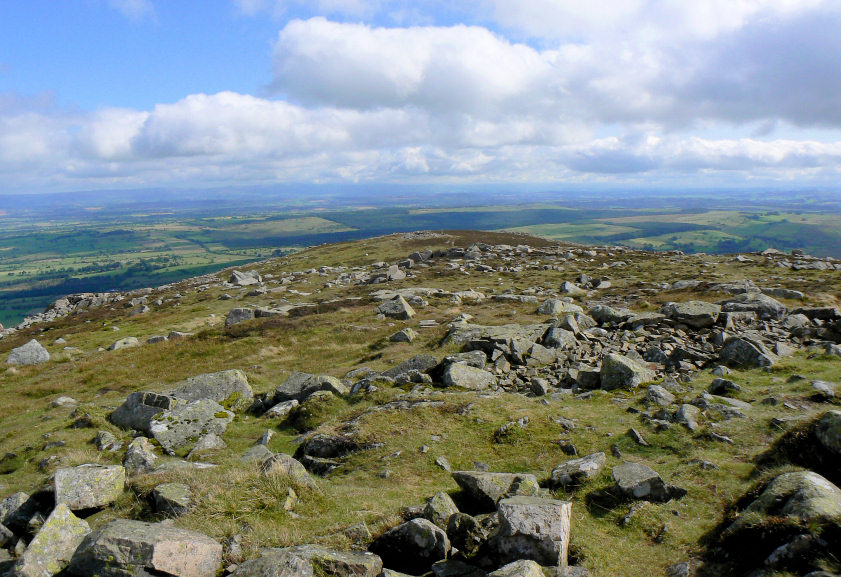
Looking back along the rock strewn summit of Carrock Fell towards the distant Pennines.
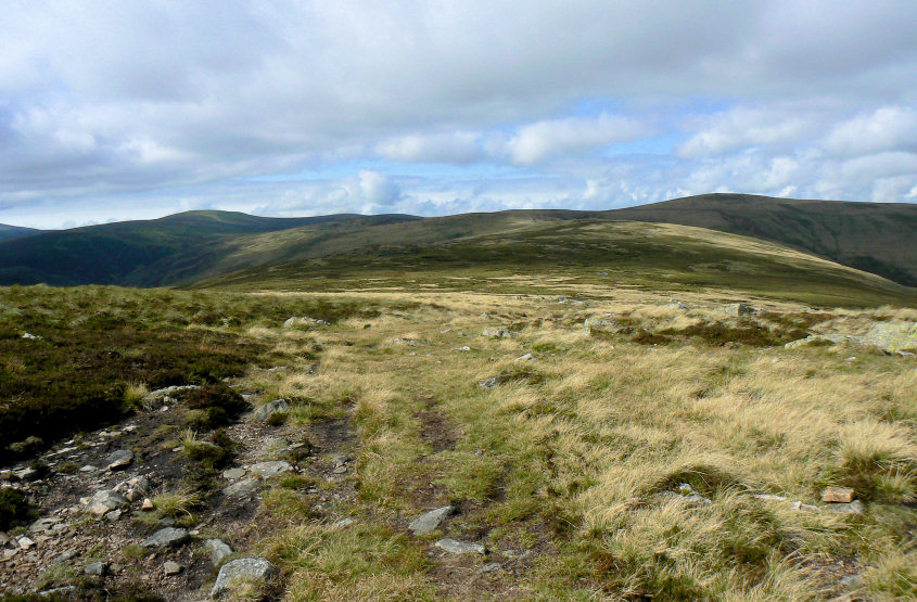
Knott and High Pike seem a long way from here.

Round Knott's summit cairn.
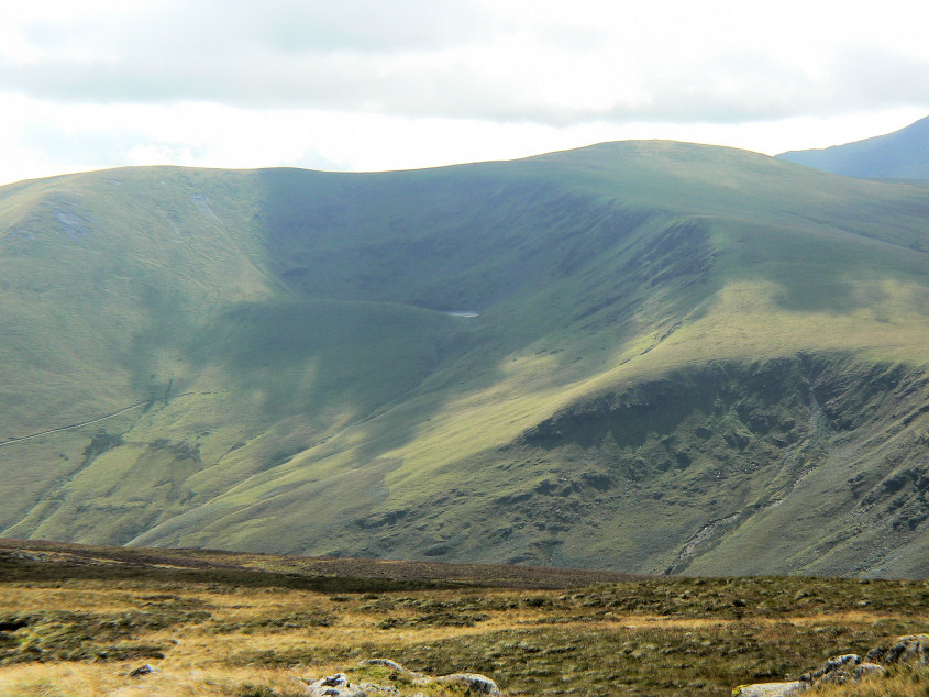
From here we getting a tantalising glimpse of Bowscale Tarn.
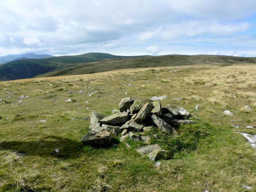
Looking towards Knott from Miton Hill's summit cairn.
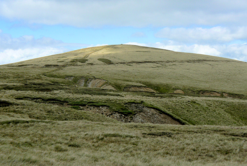
High Pike seen over Dry Gill.
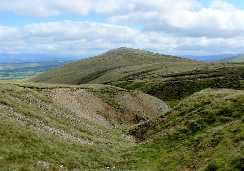
Carrock Fell now seems to be some distance away, although we have probably only taken 30 minutes or so to get here.
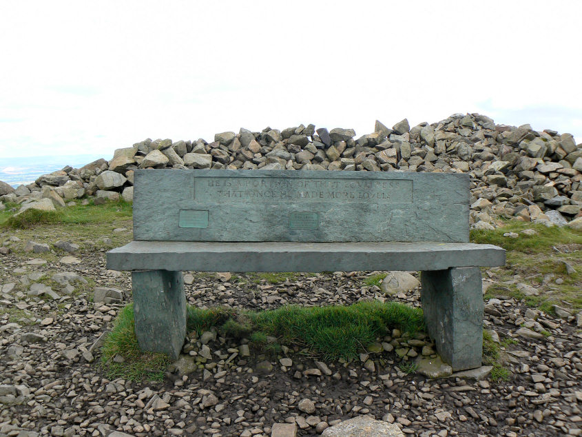
The seat on High Pike was free so we took advantage of it and had our lunch.

You really do feel like you are on the edge of the Lake District.
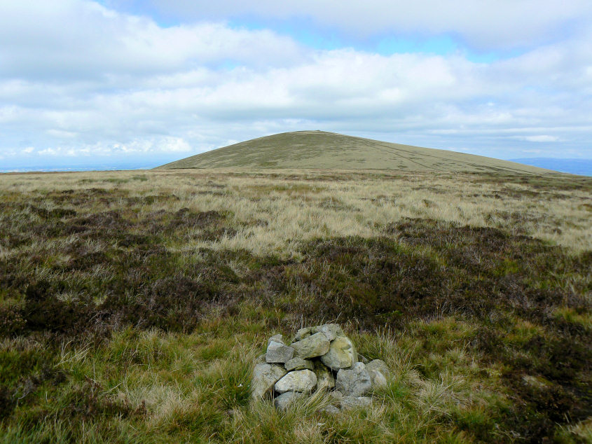
The next summit of Hare Stones was just a short distance from the Cumbria Way.
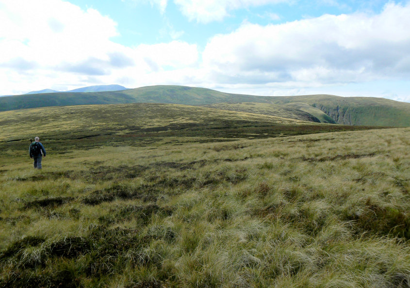
From Hare Stones we left the clear track and cut across the moorland in order to reach Great Lingy Hill.
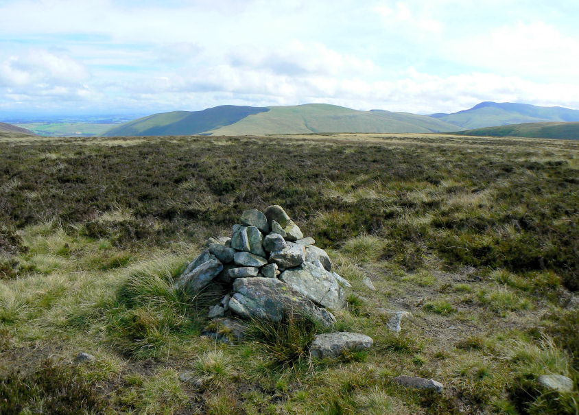
Looking towards Bowscale Fell from Great Lingy Hill's summit.
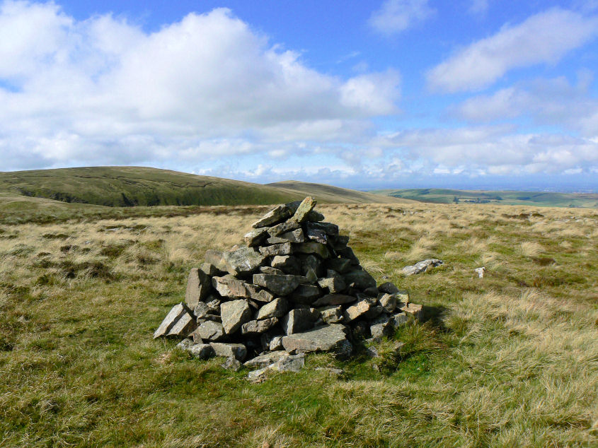
From Little Lingy Hill's summit Brae Fell is visible across Roughton Gill.
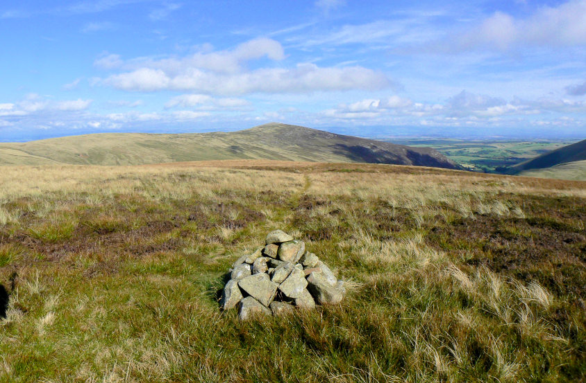
The final summit of the day is Coomb Height. Although given that the car is parked the other side of Carrock Fell we clearly still have a lot of walking to do.
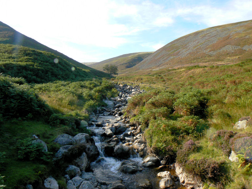
If like me you aren't very tall descending down the nose of Coomb Height at the end of the summer might not be a good idea. For much of the final section the ferns, visible on the left, were above my head. We had a well earned rest by Graingill Beck before we started the long trek down Mosedale and back along the road to the car.
All pictures copyright © Peak Walker 2006-2023