
Wolfscote Dale - Peak District Walk
Tuesday 8th April 2014
Today's walk was going to be real test of my fitness as there was some short but significant ascent and descent to be negotiated. What I hadn't expected was for there to be quite so much mud about, I was ankle deep in it more than once and wishing I'd put my gaters on.
Start: Alstonefield car park (SK 1298 5555)
Route: Alstonefield - How Narrowdale - Wolfscote Dale - Gypsy Bank - Alstonefield
Distance: 4.75 miles Ascent: 205 metres Time Taken: 3 hours 15 mins
Terrain: Clear but very muddy paths.
Weather: Cloudy to start but brigtening up with a cold breeze.
Pub Visited: None Ale Drunk: None

As I head out of Alstonefield the roadside is lined by these
daffodils blowing in the breeze.

Starting across the fields towards How Narrowdale and Low Plantation is in view.

I pass on visiting the summit of Narrowdale Hill.

After very gingerly picking my way down the steep bank I headed for the barn, to be reminded why this isn't the route I normally take through this dale. My boots were rather filthy by the time I reached the end of the dale!

The clouds finally start to clear away as I reach the end of How Narrowdale.
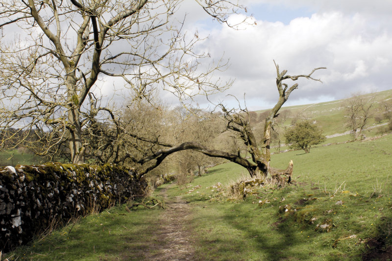
The track between How Narrowdale and Wolfscote Dale has clearly suffered from the winter storms.

I sat having my lunch just below the caves at the entrance to Wolfscote Dale.

The River Dove is moving fairly fast today and is quite full. Futher down the dale the stepping stones are nowhere to be seen.

The clouds have disappeared now and Wolfscote Dale appears very quiet, possibly because I didn't start out until after 1 p.m and the crowds are now back at their cars.

Starting off later means that for once it is possible to get a shot of Peaseland Rocks from this angle.

The climb out of the dale was quite steep but the stepped path did at least make it safe and relatively easy.

From the top of the dale the view takes in Johnson's Knoll.

Heading back towards Alstonefield and the distant view is of Baley Hill and the top of the sides of Dove Dale.
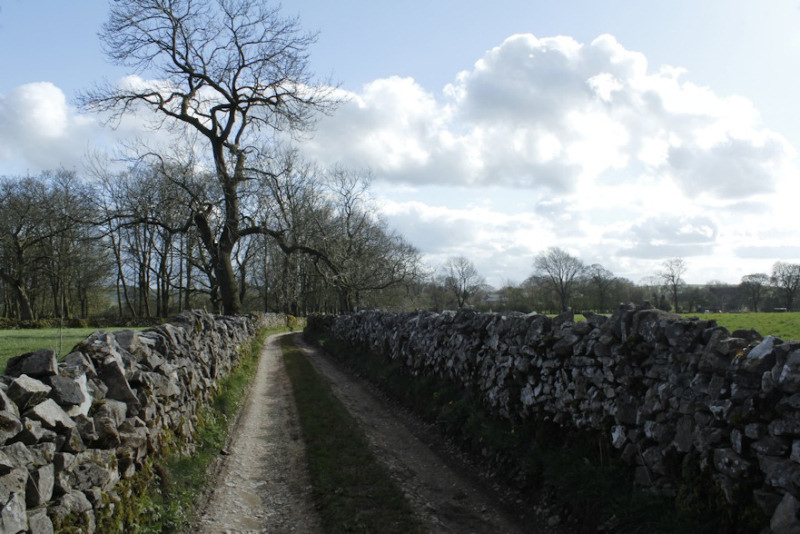
The final section of walking is along this walled lane.
All pictures copyright © Peak Walker 2006-2023