
Dove Valley - Peak District Walk
Sunday 1st June 2014
A walk that didn't quite go to plan.
Start: Thorpe Station car park (SK 1656 5029)
Route: Thorpe Station car park - Conksbury Bridge - Dove Valley - Mapleton - Tissington Trail - Thorpe Station car park
Distance: 6.5 miles Ascent: 235 metres Time Taken: 3 hours 10 mins
Terrain: Clear paths.
Weather: Hot
Pub Visited: George & Dragon, Belper Ale Drunk: Shottle Gold

As we head down the lane towards Thorpe we get our first view of Thorpe Cloud.

Our route took us by Thorpe's church.
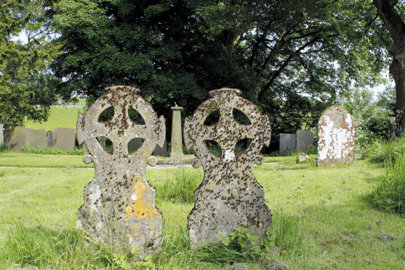
These gravestones caught my eye.
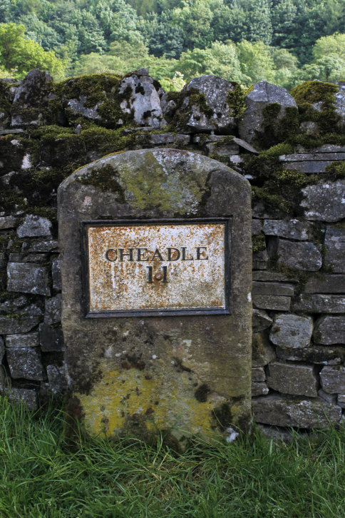
This unusual milestone is by Conksbury bridge.

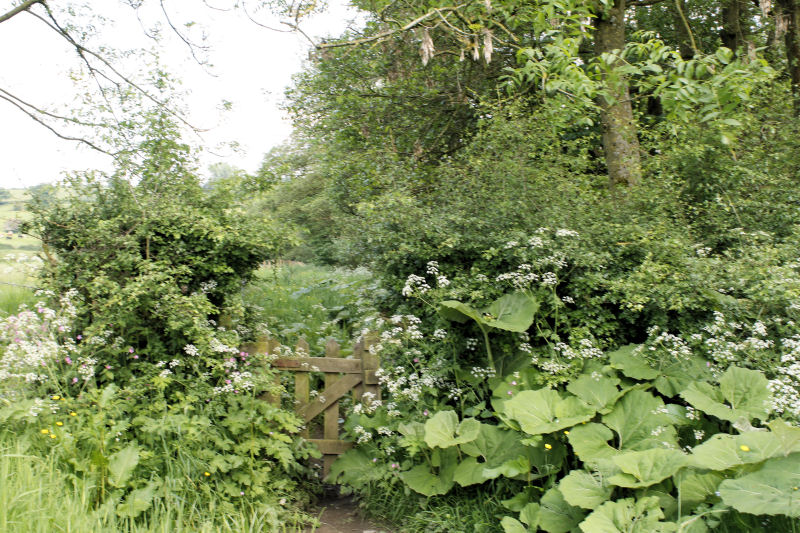
Our route would take us down the Dove Valley to Mapleton.

This part of the Dove Valley is farmland as opposed to the limestone outcrops found a little further upstream.
Although we were walking next to the river Dove there was no real views of it.
Shortly after here our route next to the river was blocked by a rather frisky herd of heifers,
so we had to divert uphill onto the road.

Climbing above the village of Mapleton and Thorpe Cloud comes into view again.

We planned to stop and eat our sandwiches on the first bench we came
across along here. It turns out there aren't any benches for the first 2 miles
of the Tissington Trail, so we had to wait until we got back to the car.
All pictures copyright © Peak Walker 2006-2023