
Calton Pastures - Peak District Walk
Wednesday 18th June 2014
I have previously walked sections of Calton Pastures but never managed to find the trig point, today when I certainly wasn't looking for it I finally found it.
Start: Calton Lees car park (SK 2589 6858)
Route: Calton Lees car park - Calton Houses - Edensor - Calton Pastures (TP) - Rowsleymoor Wood - Rowsley - Derwent Valley Heritage Way - Calton Pastures car park
Distance: 8.75 miles Ascent: 391 metres Time Taken: 5 hours
Terrain: Vague paths across Calton Pastures
Weather: Sunny
Pub Visited: None Ale Drunk: None

Following the path alongside Lees Wood to Calton Houses.

Climbing to Calton Houses and Rabbit Warren comes into view.

To the right of Rabbit Warren Falling Edge is also in view.

Manners Wood on the other side of the valley will be visited later in the walk.

Looking across the grounds of Chatsworth House the edges come into view.

After passing Maud's Plantation Chatsworth House comes into view.

Having left Edensor Curbar and Froggatt Edges come back into view.
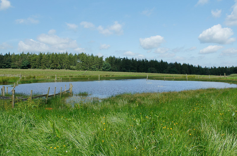
Crossing Calton Pastures was challenging as the path disappeared in the long grass.

The next section proved no easier as I headed up towards the copse of trees on the horizon.

Losing the path did mean I finally located Calton Pastures trig point,
it was hidden behind a copse of trees.

My lunchtime view was across the valley to Rabbit Warren and Harland Edge.

Swiss Cottage and the Hunting Tower are also in view.

Leaving Rowsleymoor Wood the view across the valley now includes Rowsley and on the horizon Riber Castle is visible.

Stanton Moor is also visible as I head down to Rowsley and a series of fields with cows and calves in them.
All pictures copyright © Peak Walker 2006-2023