
Cock Hill - Peak District Walk
Sunday 28th September 2014
At long last some proper moorland walking. We headed to the north of the Peak District for a walk to Cock Hill but opted for an easy return along the Longdendale Trail.
Start: Old Glossop (SK 0456 9483)
Route: Old Glossop - Cock Hill - Glossop Low - Clough Edge - Longdendale Trail - Padfield - Swineshaw Reservoir - Old Glossop
Distance: 7.25 miles Ascent: 463 metres Time Taken: 5 hours 5 mins
Terrain: Good moorland tracks and fields.
Weather: Warm and sunny.
Pub Visited: Yorkshire Bridge Inn Ale Drunk: Bombs Gone, Bradfield Brewery

The first view of the day was across Old Glossop to Whiteley Nab.
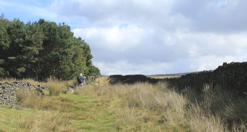
The route to Cock Hill follows the old packhorse trail.
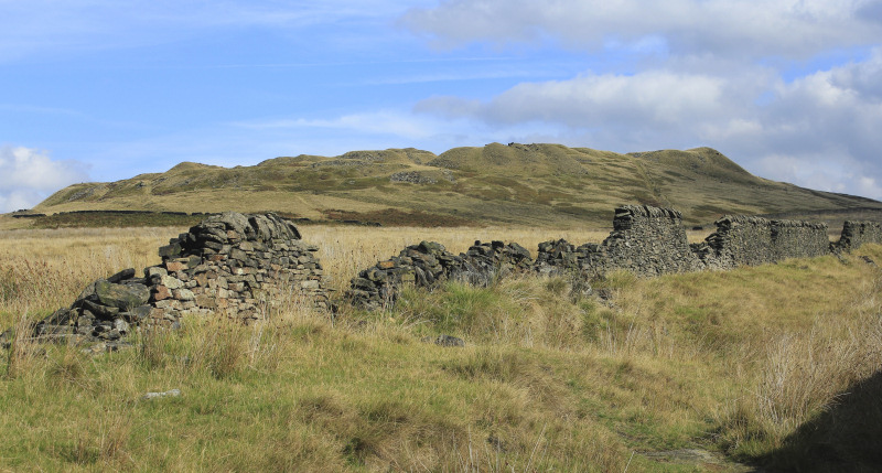
The quarries on the side of Cock Hill come into view.
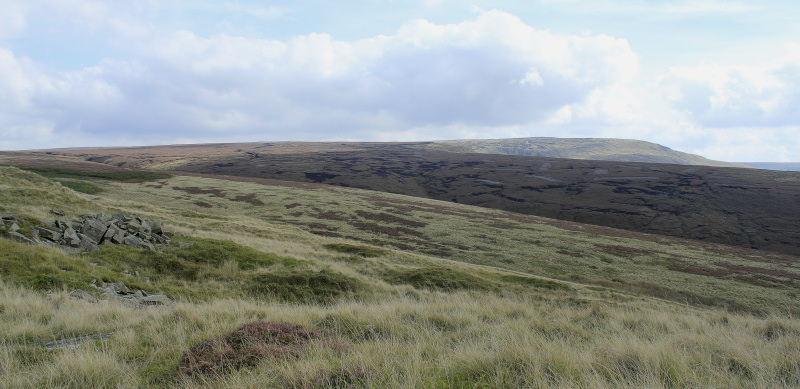
As we climb we can look across the moor towards Lower Shelf Stones.
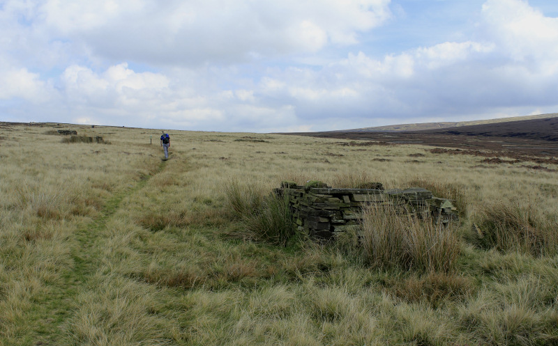
The route across Glossop Low follows the line of grouse butts.
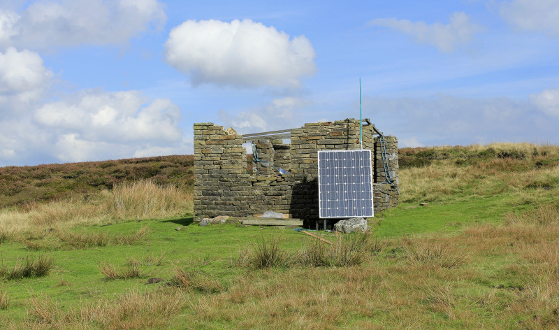
Approaching the summit of Glossop Low and we are greeted by a solar panel, apparantly it has something to do with mountian rescue.
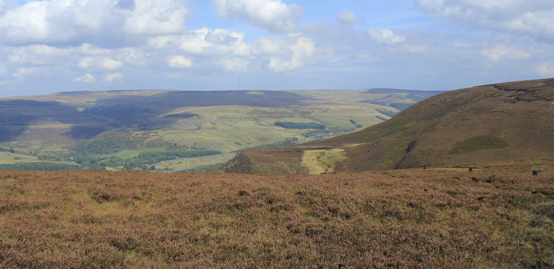
A few minutes later and we are looking across the valley at Black Hill.
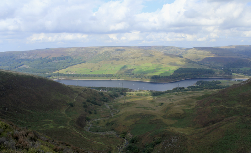
As we walk along Clough Edge Torside Reservoir comes into view.
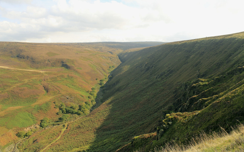
Looking back up Torside Clough.
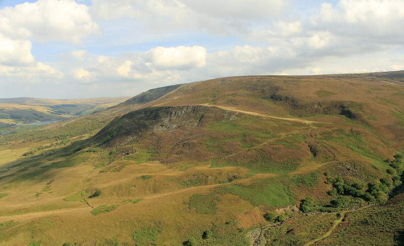
Looking up the valley towards Woodhead Reservoir.

Easy walking along the Longdendale Trail.
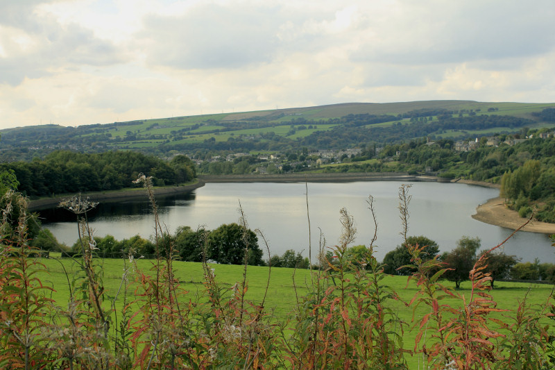
We left the trail just as Valehouse Reservoir came into view.

Heading across the fields from Padfield and Peak Naze dominates the view.
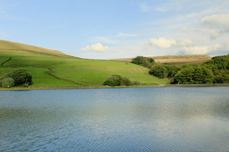
The final reservoir of the day was Swineside Reservoir.
All pictures copyright © Peak Walker 2006-2023