
Baslow Edge - Peak District Walk
Friday 22nd September 2017
An early start saw me stood on Curbar Edge before sunrise and after shooting some images of the sunrise and the clouds rolling over Baslow Edge I returned to the car park to swap bags before the start of my walk. Not used to such an early start I was surprised by how many people I saw heading along the edge for a walk at 7:30 in the morning, although as I set out in the opposite direction I only passed one other person until I was back on Curbar Edge.
Start: Curbar Gap car park (SK 2616 7468)
Route: Curbar Gap car park - Baslow Edge - Wellington Monument - Jack Flat - Swine Sty - White Edge - White Edge Trig (TP) - Stoke Flat - Curbar Edge - Curbar Gap car park
Distance: 4.75 miles Ascent: 157 metres Time Taken: 2 hrs 50 mins
Terrain: Easy paths but very boggy across the moors.
Weather: Warm and sunny
Pub Visited: None Ale Drunk: None
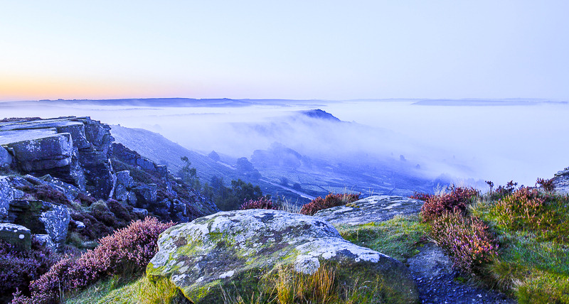
As I stood on Curbar Edge waiting for the sun to come up I was treated to the sight of clouds rolling across Baslow Edge.

It was a case of keeping one eye on what was happening on Balsow Edge and the other on

the sun which was coming up across the moor.
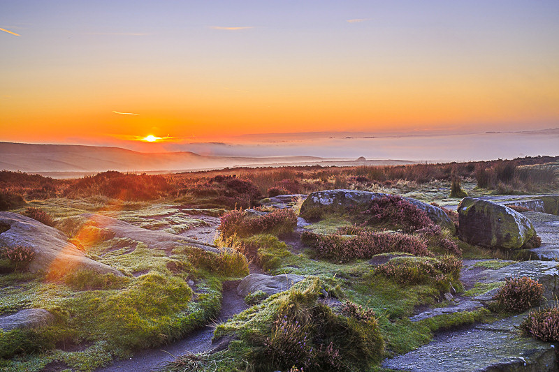
This is the first time I have actually seen a sunrise, every other time I have headed out to photograph one the sky has been clouded over.
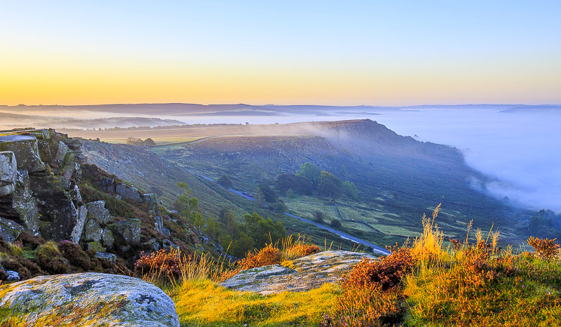
A final shot of the clouds rolling over Baslow Edge before I head back to the car park to swap bags and head out for a short walk.
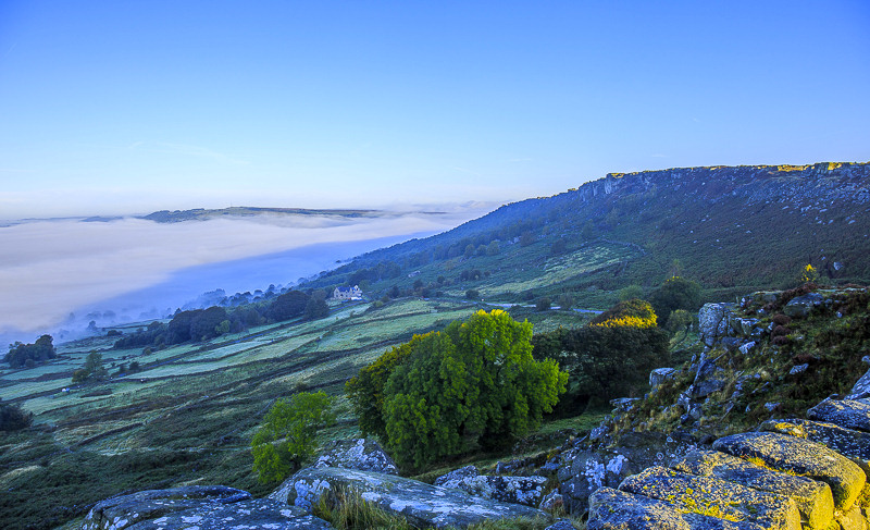
From Baslow Edge I get a good look at the inversion covering the Derwent Valley.
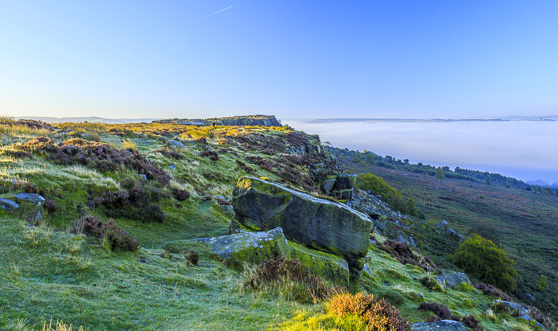
Given the conditions I opt to walk along the edge path rather than the path next to the wall.
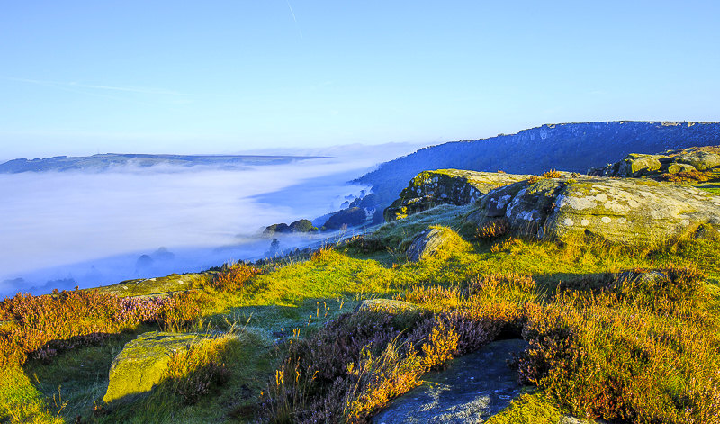
There are frequent stops to watch the movement of the inversion.
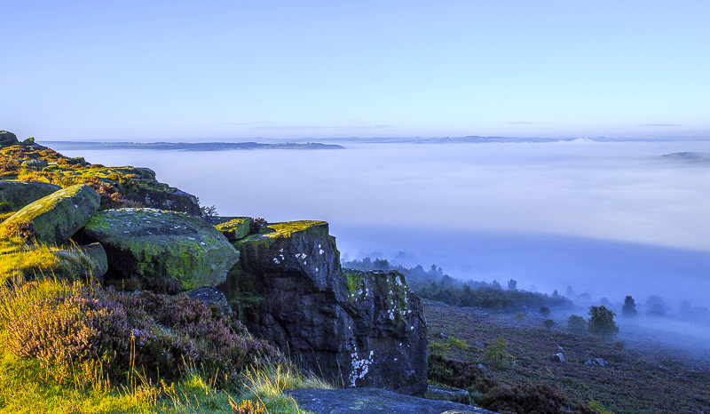
There is no sign of Chatsworth as I look down the valley.
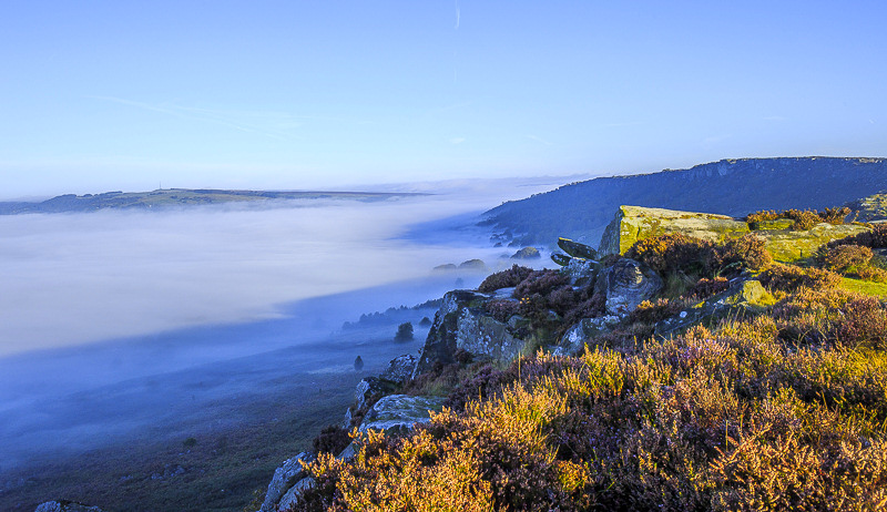
I had planned on breakfast at the Wellington Monument but with conditions like this I have my breakfast watching the clouds rolling up and down the sides of Baslow Edge.
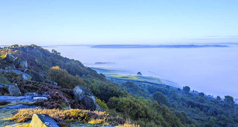
No need to rush my breakfast today.
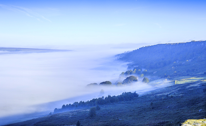
What did surprise me was the number of people I saw setting out along Curbar Edge, even though it was barely eight o'clock.

Across the valley Longstone Edge is starting to appear.

The mist is still hanging around the top of Gardom's Edge.
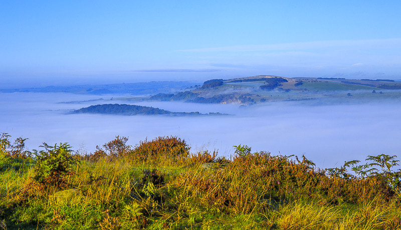
As I reach the end of Baslow Edge there are signs that the clouds are starting to be burnt off.
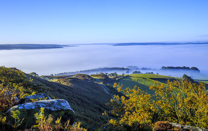
Although Baslow is still hidden from view.
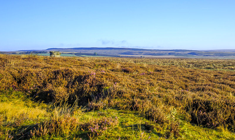
Thankfully my route across the moor and onto White Edge is nice and clear.
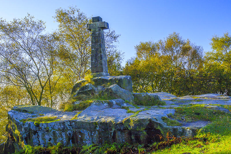
All is quiet at the Wellington Monument.

My route should follow the path across Jack Flat.

The cows on here don't normally bother me but one in particular wasn't too happy to see me so it was a case of diverting off the path into the lovely wet heather and ferns to avoid agitating it any more than I could help.
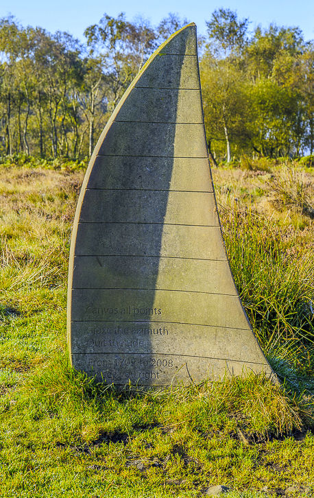
By the time I reached the Companion Stone I had rather
wet trousers, but at least they dried quickly in the sun.
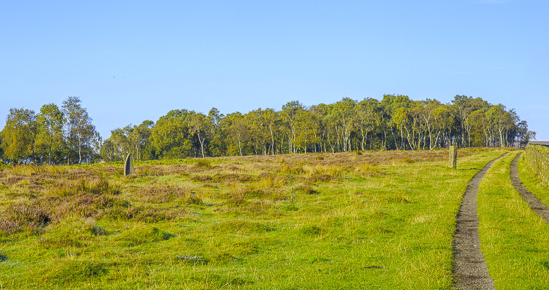
The Companion Stone and the original stoop on Jack Flat.

Heading across the moor towards Swine Sty and White Edge.
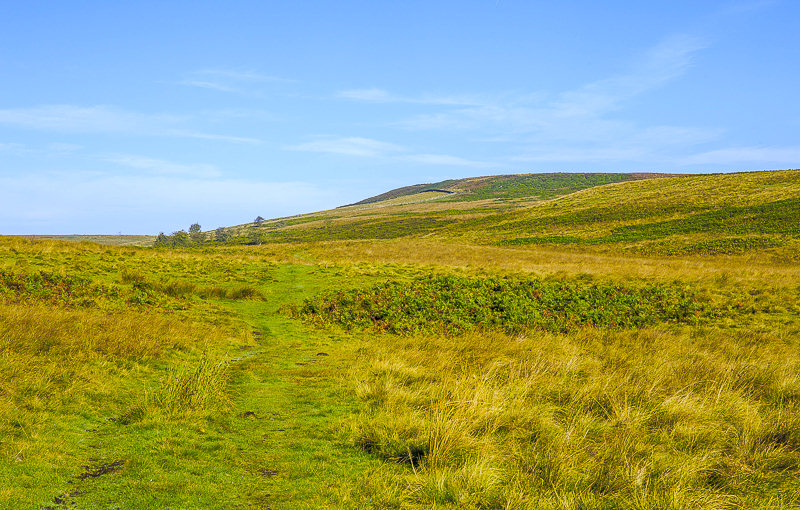
As I crossed the moor it started to get much warmer and it was time to remove a layer of clothing.
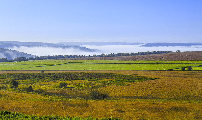
Looking back towards Jack Flat as I round Swine Sty.
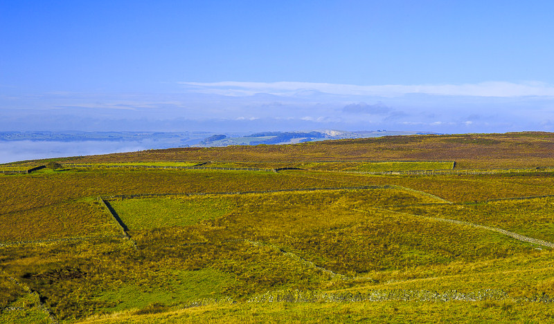
Curbar Edge from White Edge.

As I approach the trig on White Edge Win Hill comes into view.

So far since saying hello to one person on Baslow Edge I haven't seen another person.
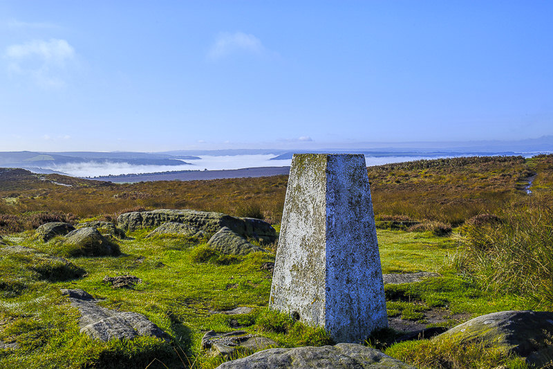
Looking back towards Jack Flat and the Derwent Valley from the trig.
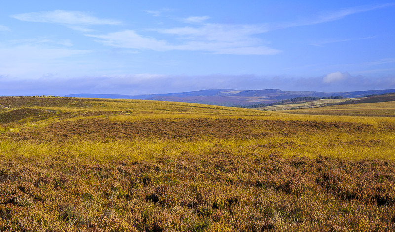
Higger Tor as I drop off White Edge to follow the concessionary path across the moor.
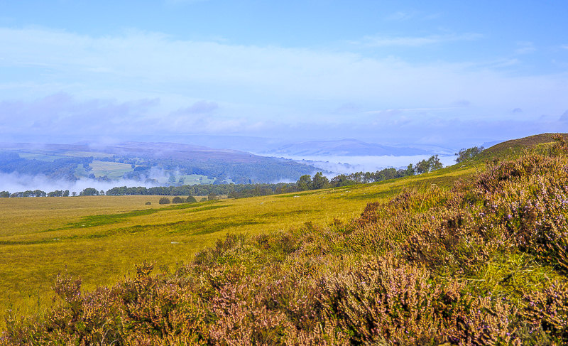
As I cross the moor I can see more of the Derwent and Hope Valleys appearing from beneath the clouds.
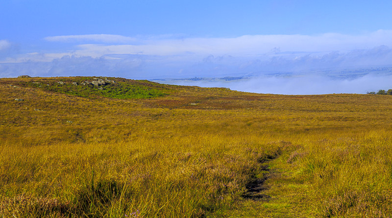
It was very muddy crossing this way and by the time I reached Froggatt Edge my feet were starting to get damp.

It's an easy enough path to follow, even if it does involve a lot of bog hopping.
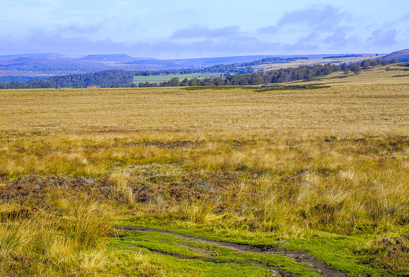
As I climb onto Curbar Edge a couple I am talking to spot a stag on Stoke Flat. He is pretty much in the centre of the shot.
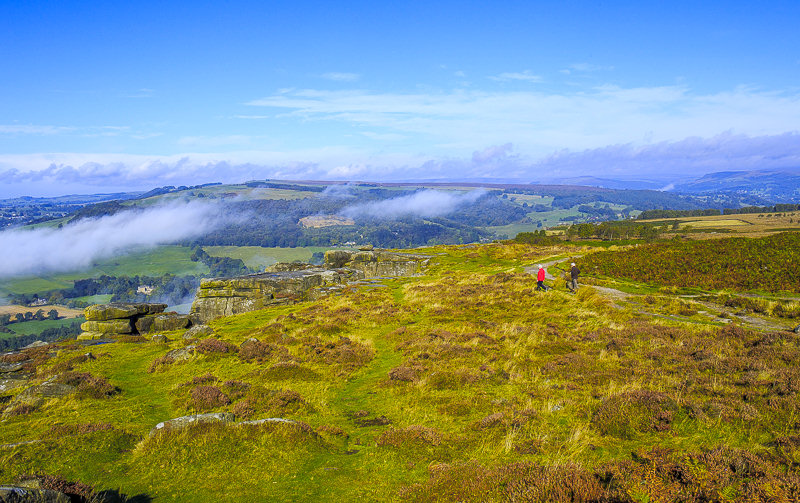
Looking back along Froggatt Edge and across to Eyam Moor.
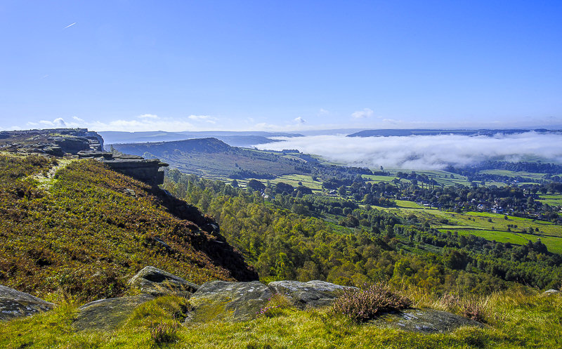
Since I was last on here the view has certainly altered.
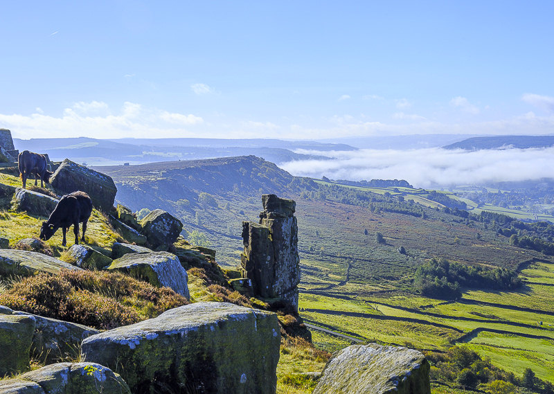
There were quite a few cows on Curbar Edge and they certainly weren't bothered by the people around them or the fact they were close to the edge.
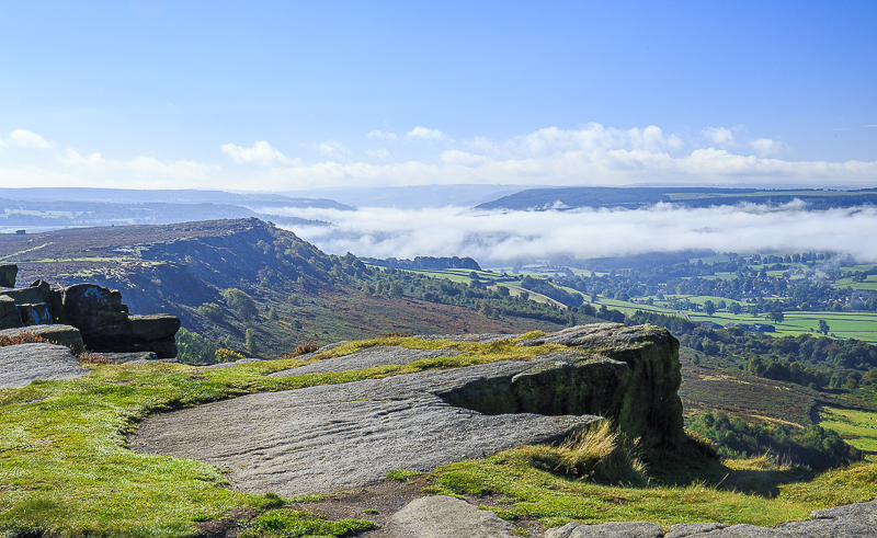
More or less back where I was a few hours ago, looking across to Baslow Edge from Curbar Edge.
All pictures copyright © Peak Walker 2006-2023