
Mount Famine - Peak District Walk
Thursday 10th September 2020
Now that the schools have finally reopened and as the weather was meant to be quite good we decided to head back into the Peak District. With a trip to the Lake District beckoning we could do with climbing some hills, so we picked what we hoped would be a quiet route and headed out.
Start: Kinder Road (SK 0471 8681)
Route: Kinder Road - Elle Bank - Mount Famine - South Head - Brown Knoll - Edale Cross - Oaken Clough - Coldwell Clough - Bowden Bridge - Kinder Road
Distance: 6.75 miles Ascent: 499 metres Time Taken: 4 hrs 10 mins
Terrain: Clear paths with a small section of scrambling
Weather: Overcast with a cool breeze on top
Pub Visited: Royal Hotel, Hayfield, Ale Drunk: Courage Directors
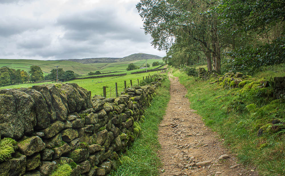
Having crossed the campsite we pick up the path along Elle Bank which will take us towards Mount Famine.
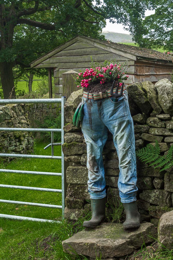
An unusal way to use some old jeans outside Stones House.

As we clear the woods the view of William Clough and Kinder Scout opens up.
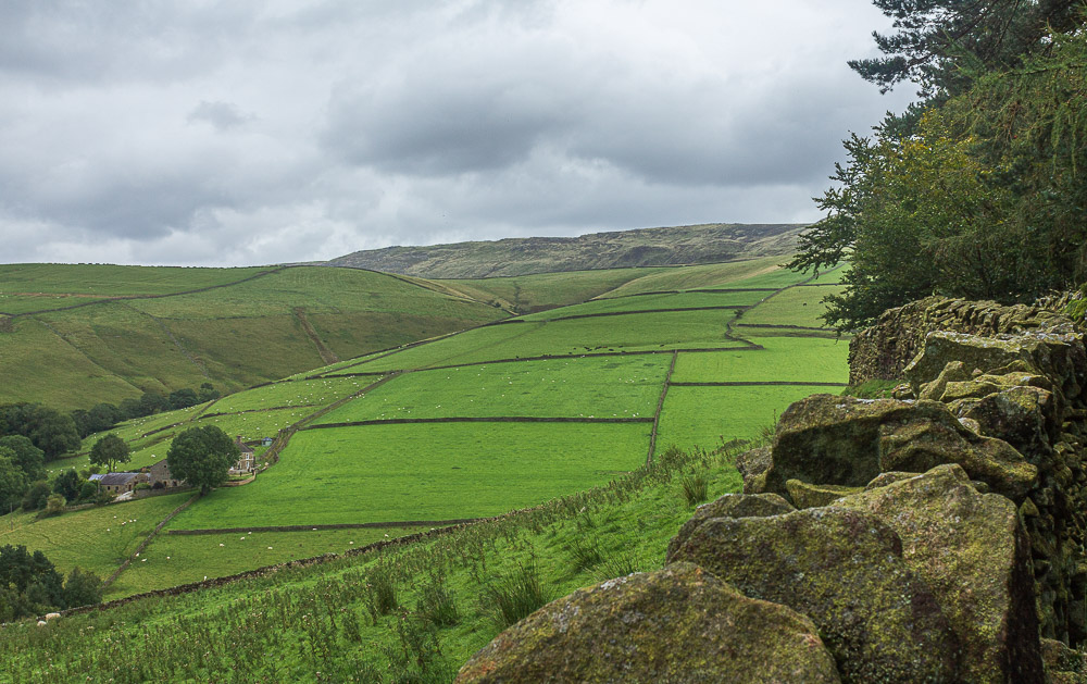
Following the edge of Kinder Scout around to Kinder Low.
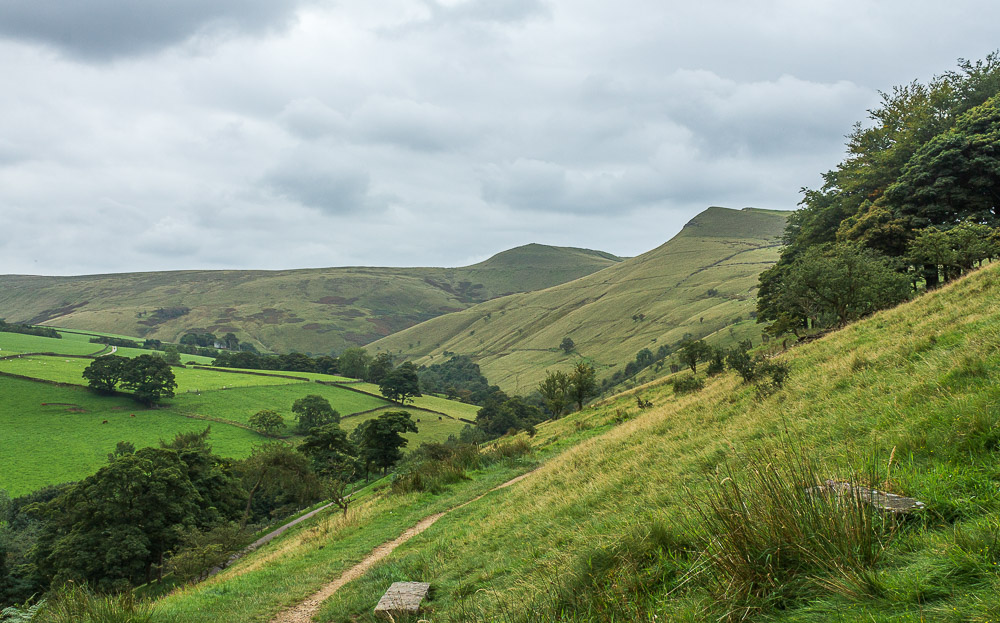
Mount Famine comes into view, at which point I begin to remember how long it is since we've done any significant ascent.
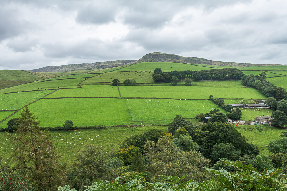
Looking across to Kinderlow End before we start along the track up to Mount Famine.
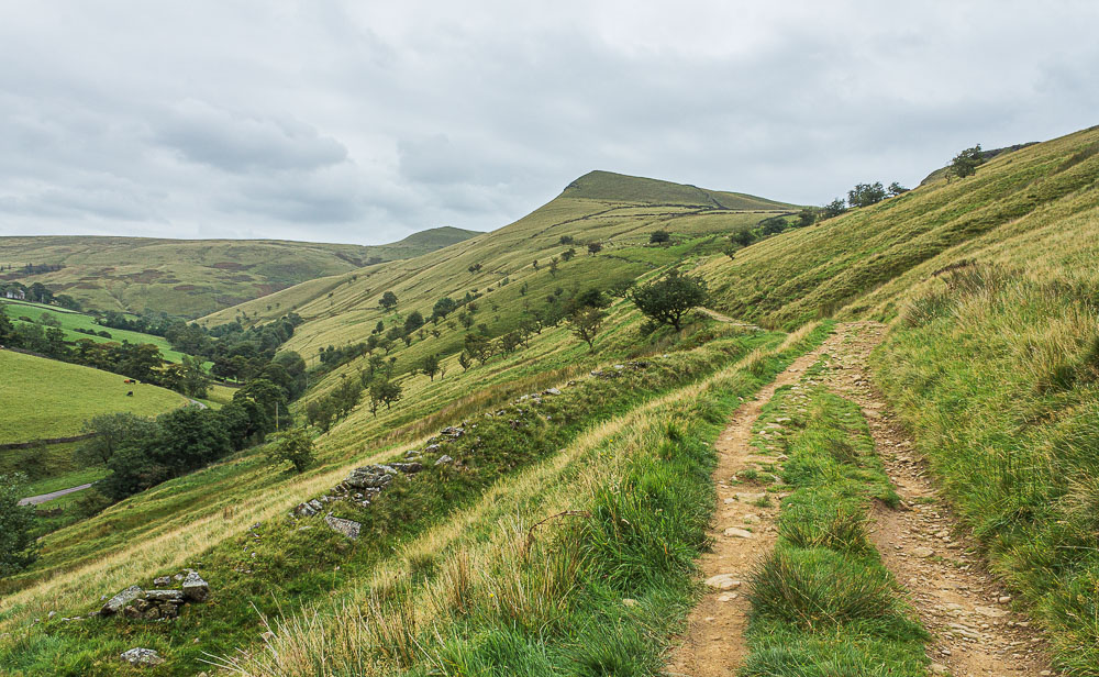
Mount Famine with South Head behind, at this point we aren't sure if we will visit the summit of South Head or just walk around it. That will depend upon how tough we find the ascent of Mount Famine.

Having negotiated the stile we head across the field to the short, steep climb to the summit of Mount Famine.
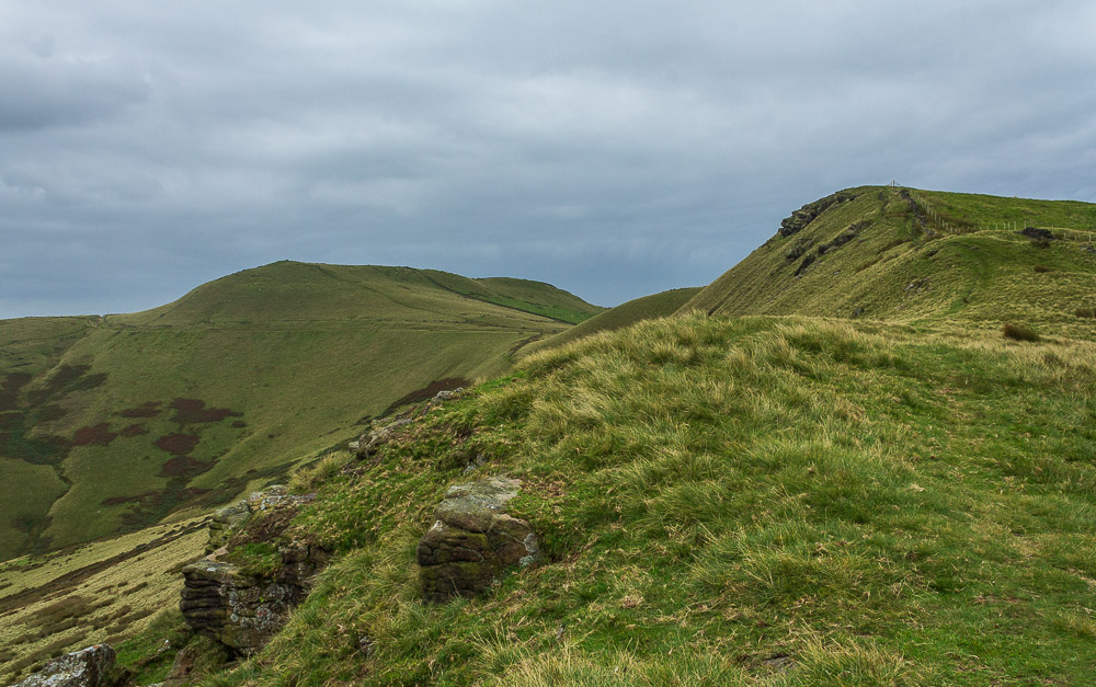
Having done the slightly rocky section we emerge onto a grassy track that takes us up to the summit of Mount Famine
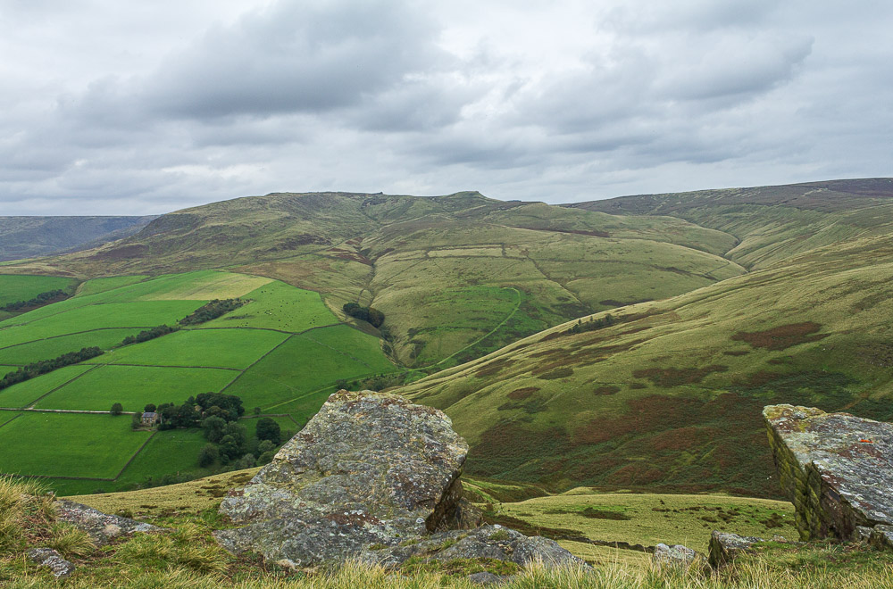
From the summit of Mount Famine we have a view across to Kinder Scout with Swine's Back now in view.
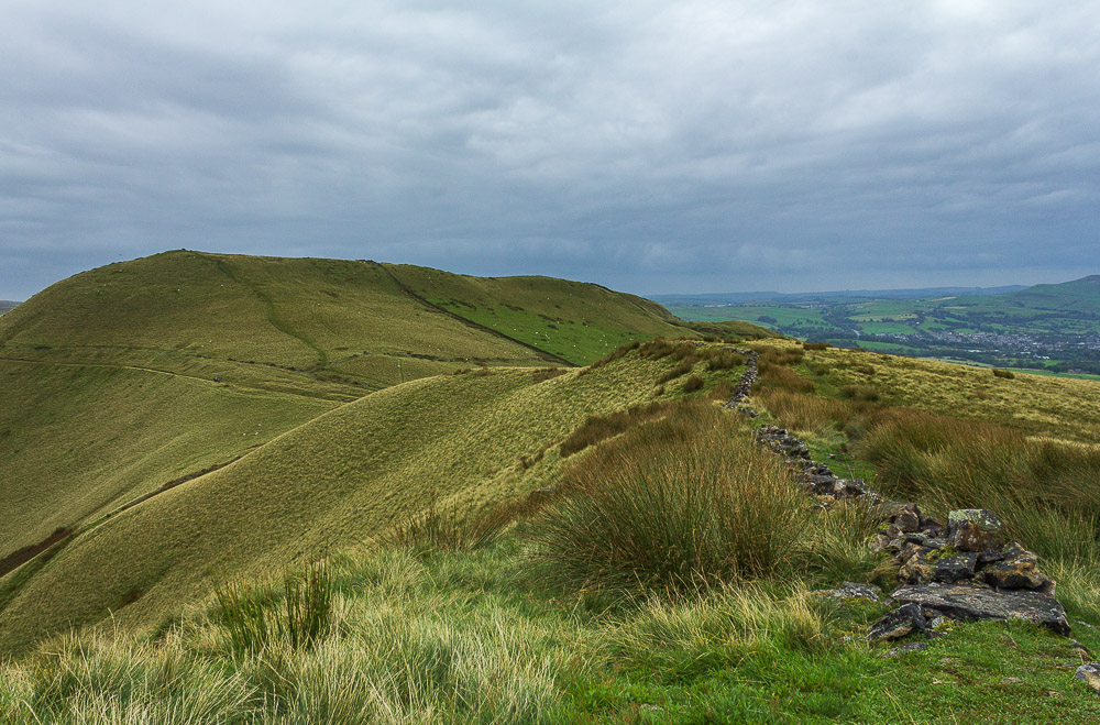
As we start to drop off Mount Famine we have to decide if we are going up South Head or not.
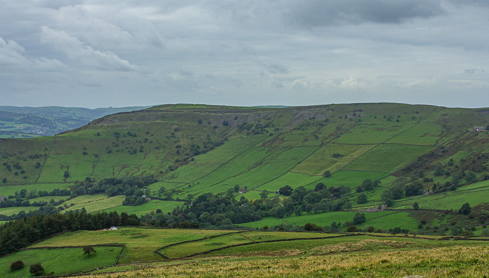
The view as we descend includes Chinley Churn which still remains on my to do list. Not looking good for doing it this year.
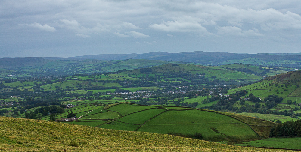
Having decided that the summit of South Head was overdue a visit we are rewarded with views across Eccles Pike to the Goyt Valley and the distant Cats Tor.
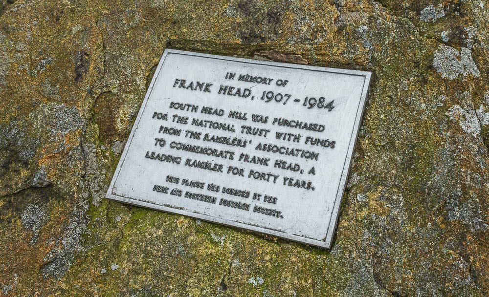
As we approach the summit of South Head we reach the memorial to Frank Head.

The summit cairn of South Head is soon reached and after pausing to admire the view we opt to descend a little before stopping for some lunch.

Looking back to Mount Famine from South Head's summit.
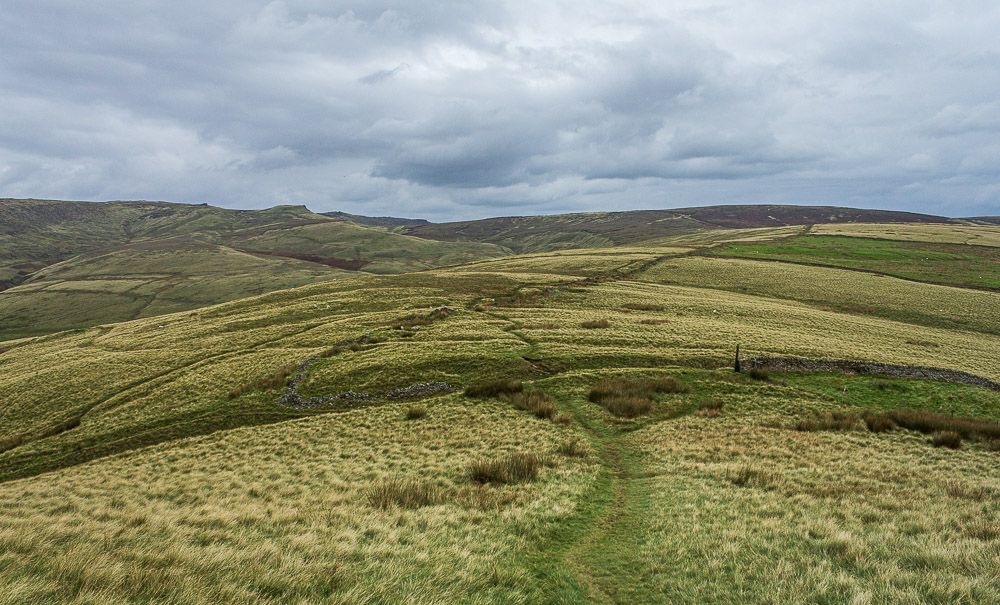
Having dropped out of the wind our lunchspot takes in the view of most of the remaining walk, along the path to Brown Knoll and then across to the path that runs below Swine's Back.
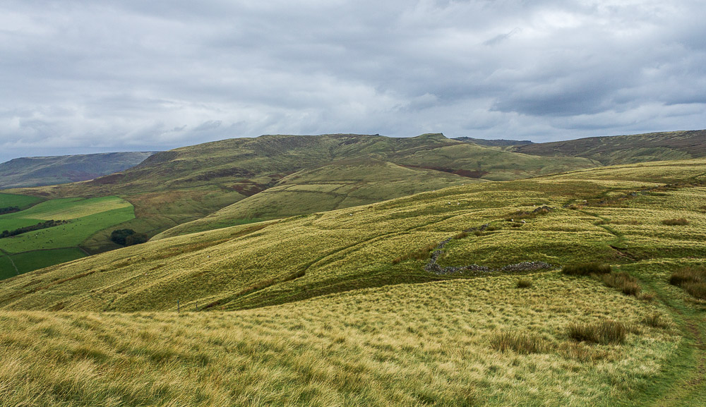
From the same spot we enjoy a view of the western edge of Kinder Scout.
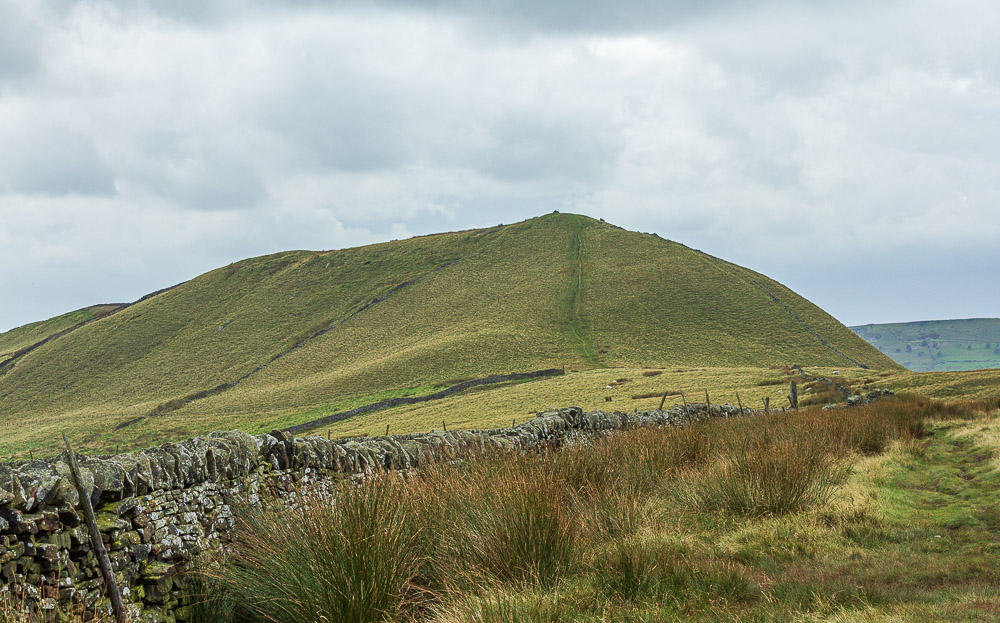
Looking back to our lunchspot on South Head as we start along the path to Brown Knoll.

As we follow the path to Brown Knoll we come across this broken gate. I just hope it isn't a victim of the thoughtless actions of some of the people who have discovered the great outdoors since Lockdown (1) ended, but treat it with such disrespect.

Once we have passed through the gate the path is slabbed all the way to the top of Brown Knoll and along to the path to Jacob's Ladder.
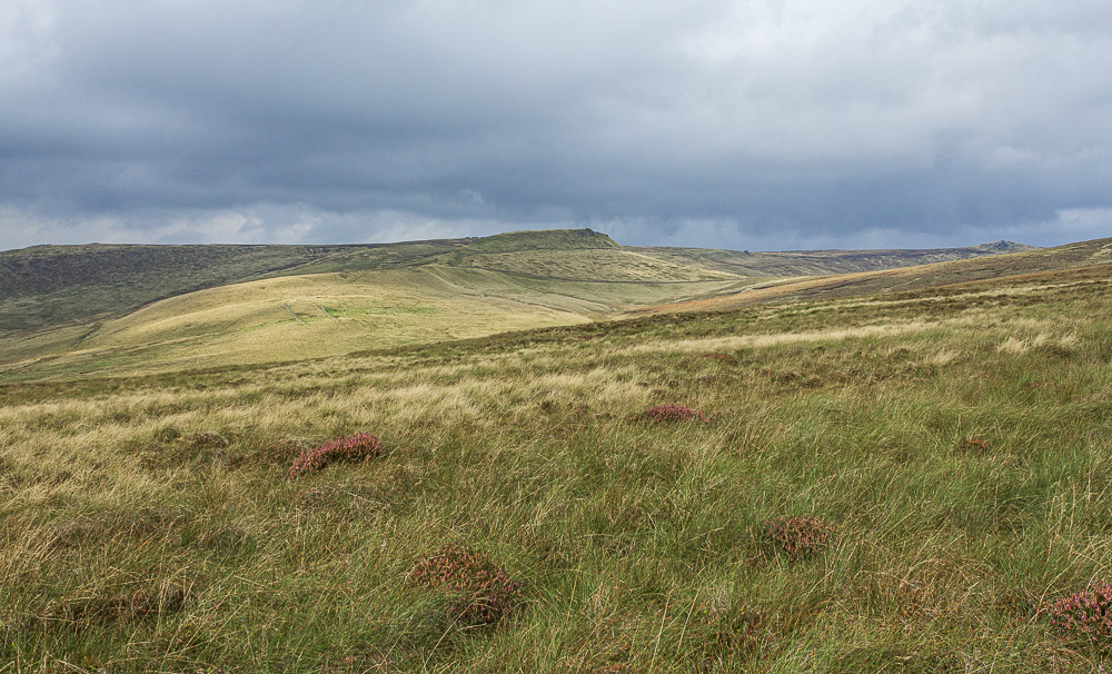
As the climb flattens out the view now includes the southern edge of Kinder Scout with the rock formation of Pym Chair visible.
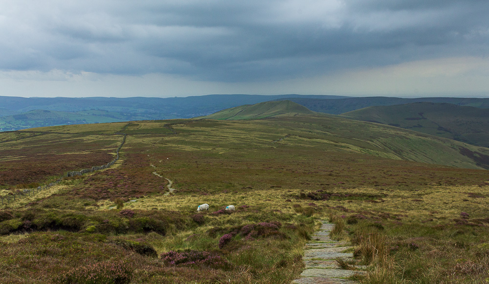
Looking back towards South Head from the same spot and it is beginning to look like the forecast for a dry day is going to turn out to be wrong.
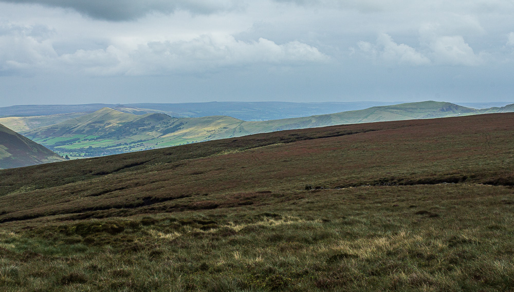
We don't visit the summit of Brown Knoll, instead we continue along the slabbed path heading for the top of Jacob's Ladder. As we do the sun lights up a distant Lose Hill.
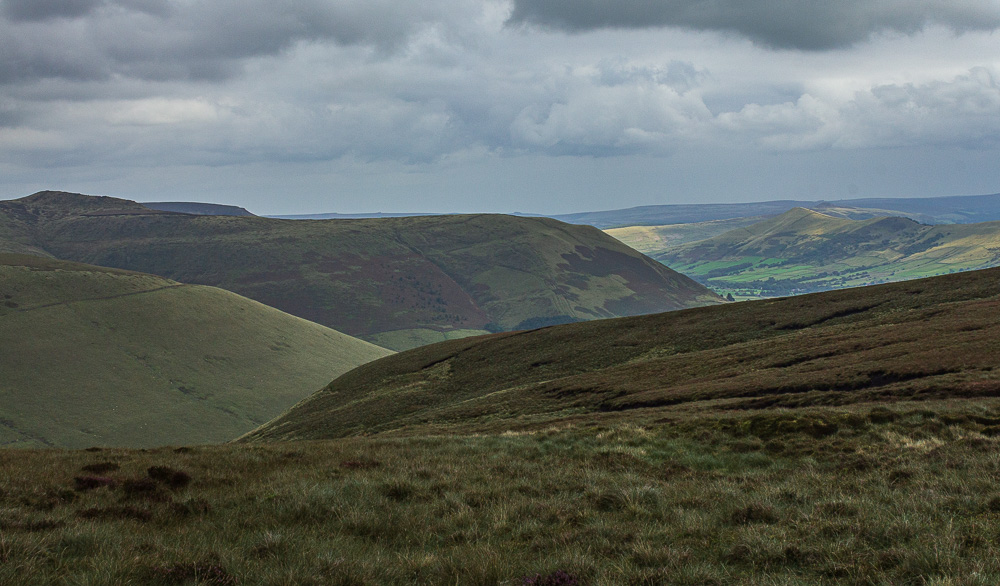
The sun doesn't extend as far as Grindslow Knoll.
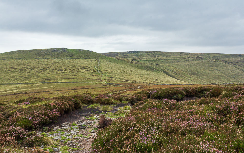
We have hardly seen anyone all day but as we approach the top of Jacob's Ladder there is a noticeable increase in the number of people around, time to start practising social distancing.
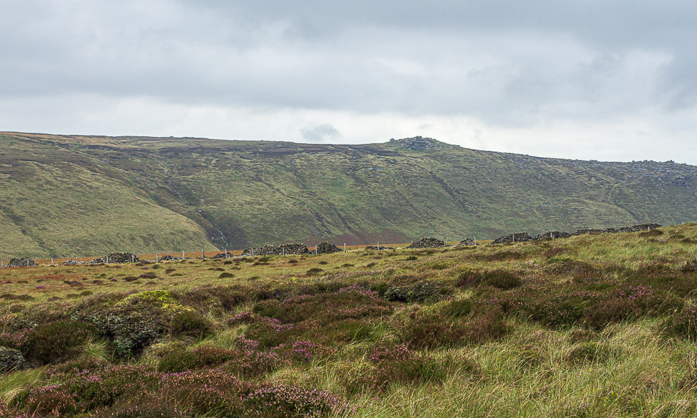
Zooming in on Pym Chair from the path to Jacob's Ladder.
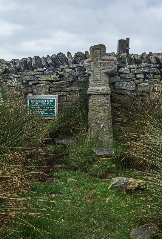
Once we reach Jacob's Ladder we turn left and head down Oaken Clough passing Edale Cross.
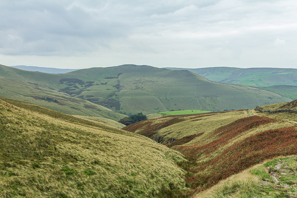
Looking down Oaken Clough to Mount Famine.
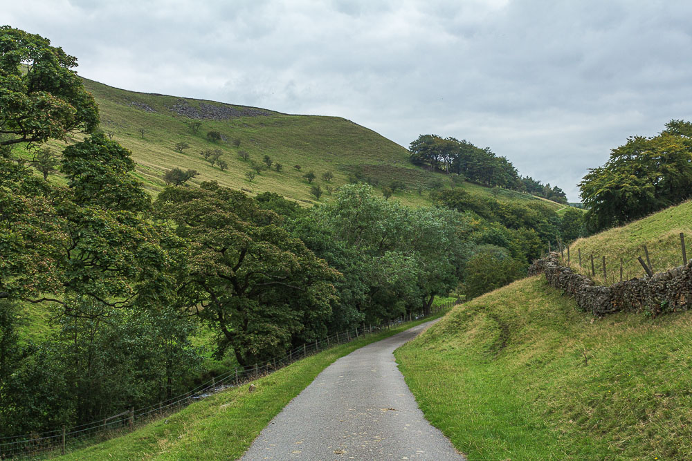
Oaken Clough is full of loose stones that make for some uncomfortable walking so by the time we reach Coldwell Clough our feet and ankles appreciate the tarmac path.
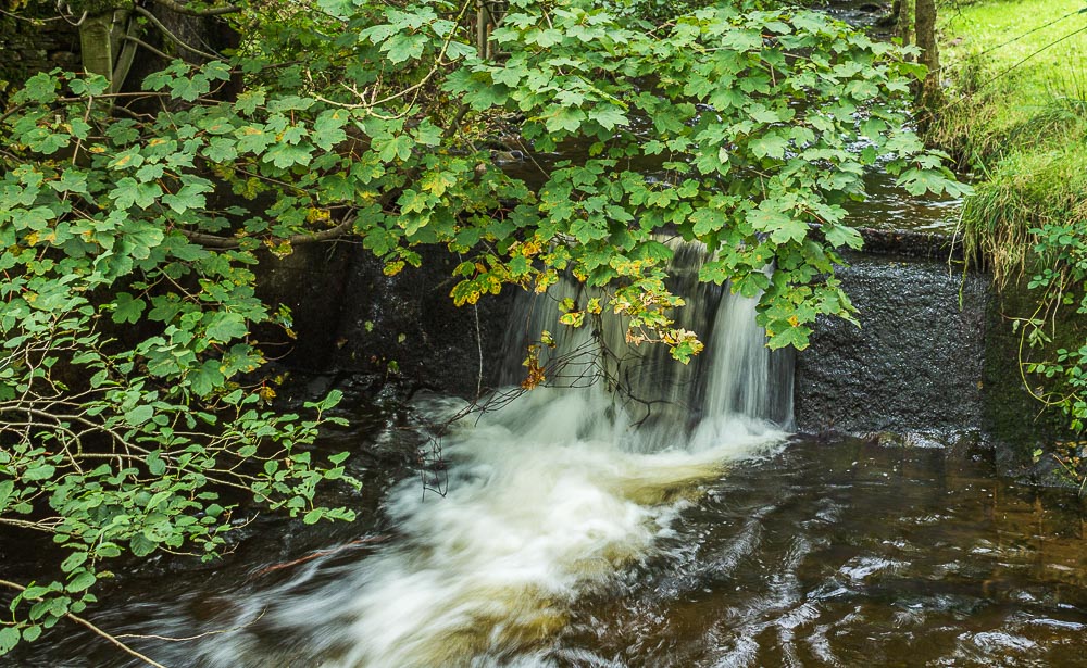
As we reach the road back to the car park I take advantage of the wall for this shot of the River Kinder.
All pictures copyright © Peak Walker 2006-2023