
Rainster Rocks - Peak District Walk
Sunday 8th August 2021
Having spent all day watching it bucketting down when the rain stopped shortly after 5pm and the sun came out John suggested we headed out for a walk. Rather than waste too much daylight heading into the Peak District we opted for a fairly local walk that we hadn't done in quite a long time.
Start: Manystones Lane (SK 2431 5486)
Route: Manystones Lane - High Peak Trail - Longcliffe - Rainster Rocks - Pasture Lane - Brassington - Manystones Lane
Distance: 4.25 miles Ascent: 173 metres Time Taken: 2 hrs
Terrain: Clear paths
Weather: Sunny
Pub Visited: Hurt Arms, Ambergate Ale Drunk: Timothy Taylor's Knowle Spring
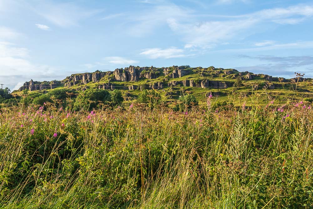
Having driven a few miles from home it was with some relief we parked up and found that the sun was shining and we weren't going to get caught in another downpour.

Heading along the High Peak Trail it looked like the fact the rain hadn't cleared until late in the day was going to result in us having a nice and quiet walk. In fact we saw 7 people all walk and most of them were locals out walking their dogs.
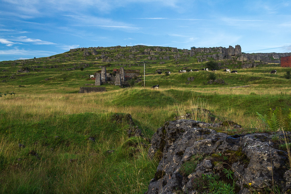
One thing that did surprise me was the sight of cows at Harboro' Rocks. I don't remember seeing them there before.

It was looking like it was going to be a really delightful evening. Here looking across part of Brassington Moor towards Slipper Low.
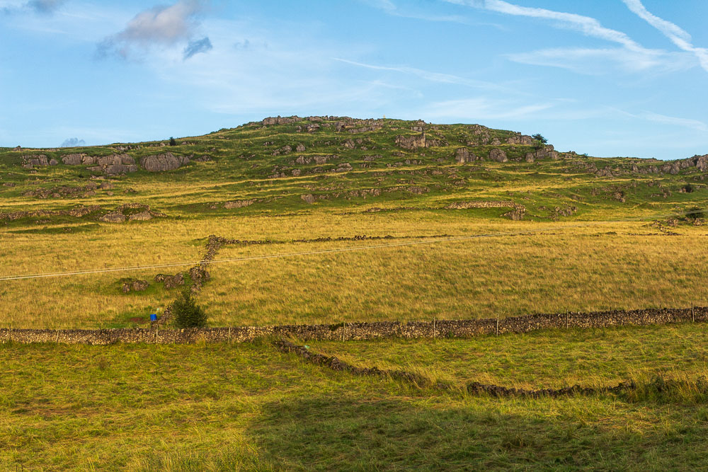
Harboro' Rocks are lit up by the late evening sun.
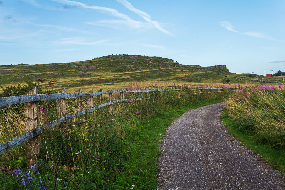
A final look back at Harboro' Rocks as the bend in the High Peak Trail means they will no longer be in view.
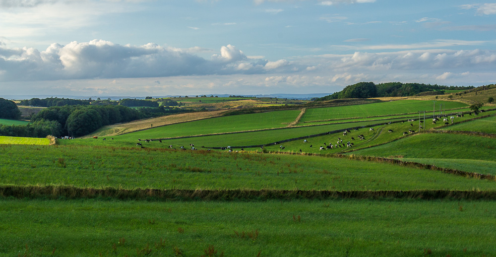
The views from the High Peak Trail extend beyond Slipper Low to what looks like the mast near William Hill.
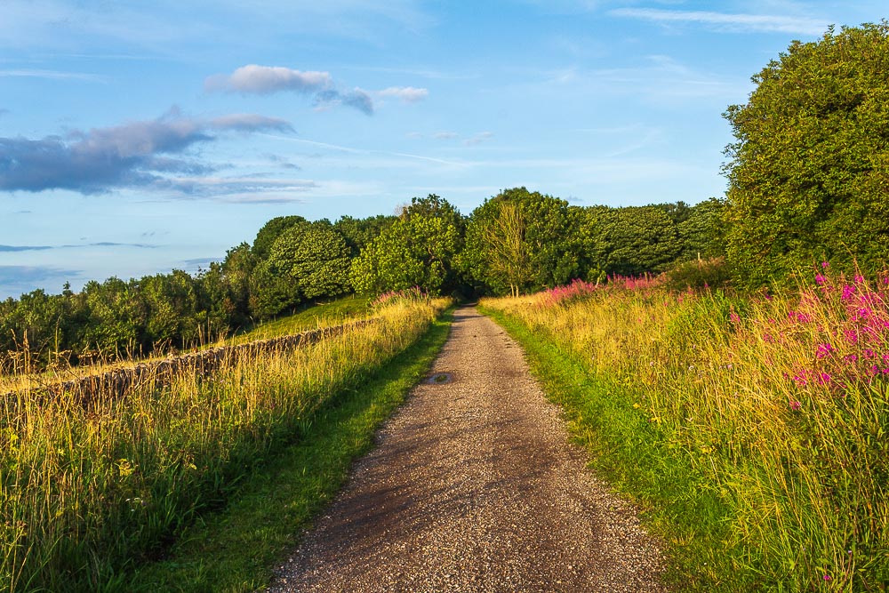
We certainly didn't think we would be enjoying views like this when we set out, you could actually make the mistake of thinking it's summer.

Looking across in the direction of Brassington and this tower comes into sight. We debated what it was used for and concluded it may have something to do with the Second World War. In fact it turns out it is indeed an Aircraft Observation Tower that opened in 1943.
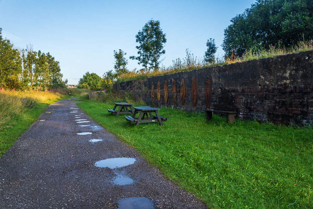
We leave the High Peak Trail shortly after passing through the remains of Longcliffe Station.
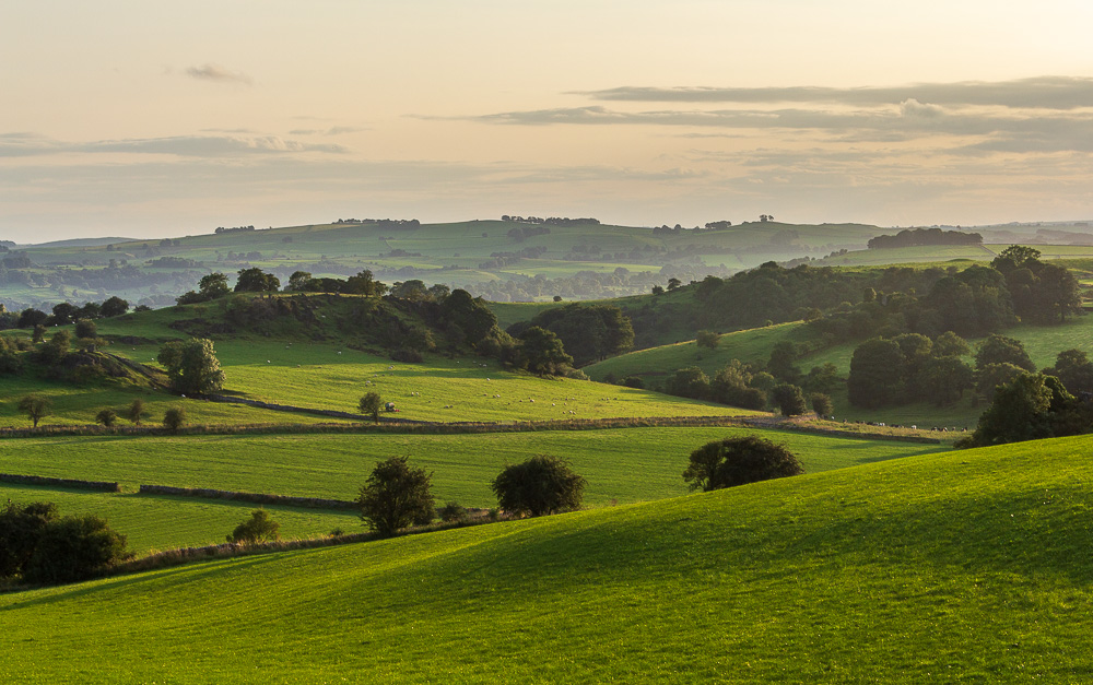
Looking across to Pinder's Rock from the road as the sun lights up the fields.
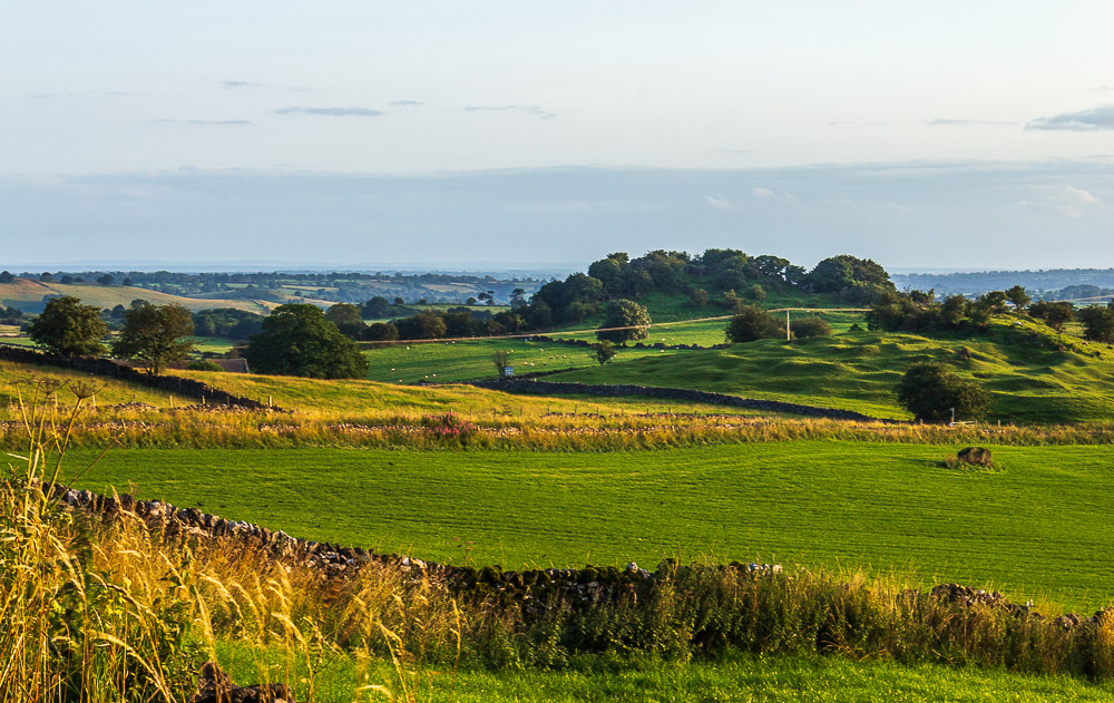
We also get our first view of Rainster Rocks as we head down the road.
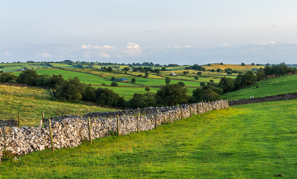
Looking across the fields towards Brassington, which amongst other things was once home to numerous lead mines.
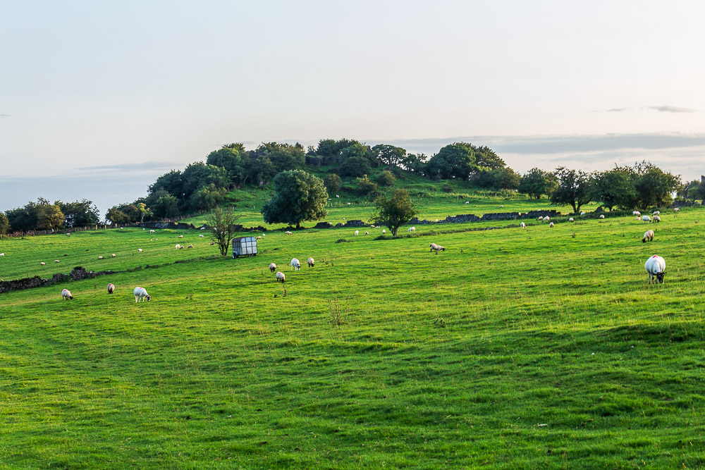
We get a closer view of Rainster Rocks, although you can't actually access them from here.
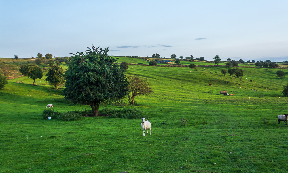
There are several options when it comes to how to get to Brassington, but today we are going to stay down low and head across the fields to Pasture Lane.
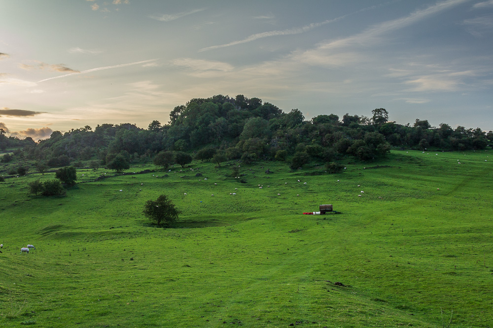
We passed on climbing Rainster Rocks today as the sun was about to set so time and the light was against us.
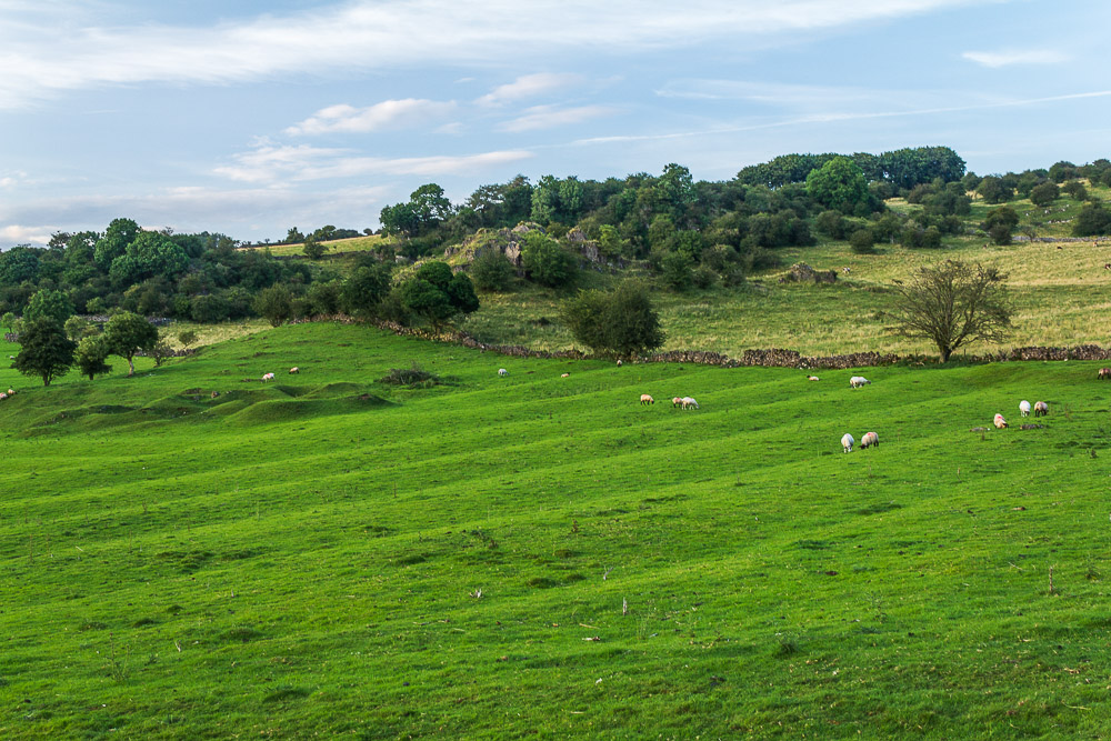
As we approach Pasture Lane the view back across the fields shows up the signs of ridge and furrow farming, as well as lead mining.

Looking back at the path we followed below Rainster Rocks.
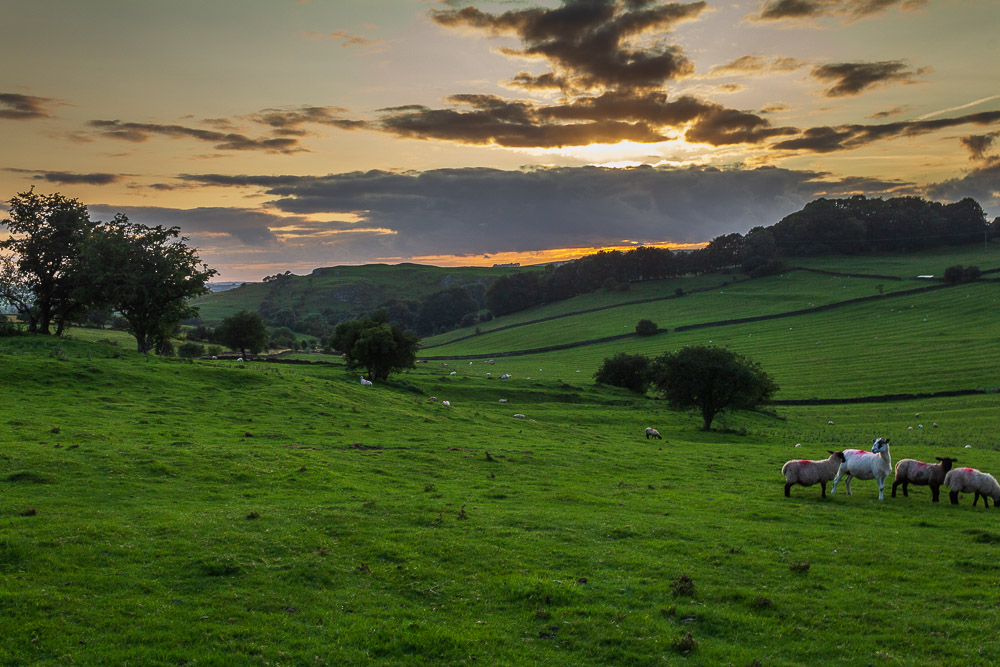
White Edge comes into view as the sun starts to set.
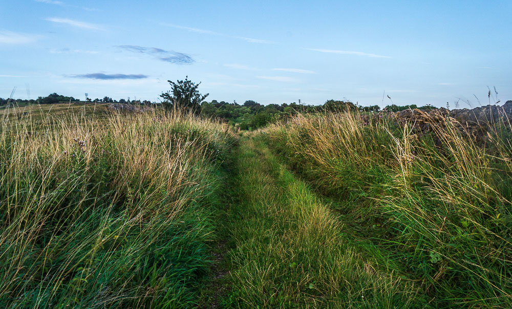
We leave Pasture Lane and follow this green lane, which at this time of year is rather overgrown.
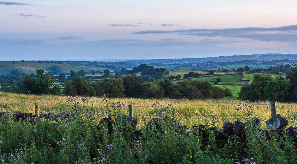
At the top of the lane we take the path down to Brassington, where the views looking southeast stretch across Hipley Farm towards Bradbourne and Haven Hill.
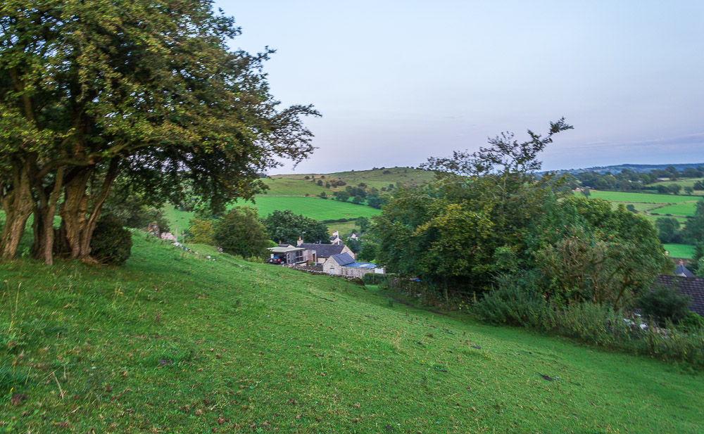
Looking across Brassington towards the area where Bee Nest Mine was located. As my camera shows the light is starting to fade quite fast now.
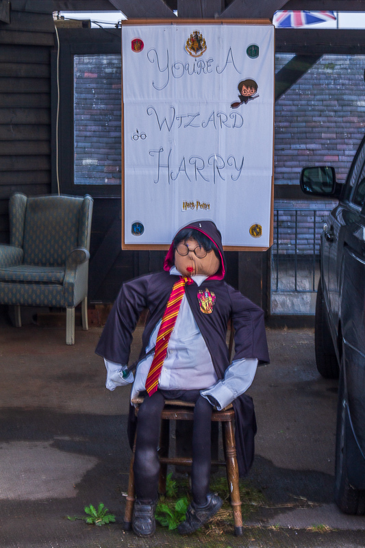
As we turn along the lane behind the church this scarecrow
of Harry Potter attracts our attention.

Looking across Brassington from St James church.
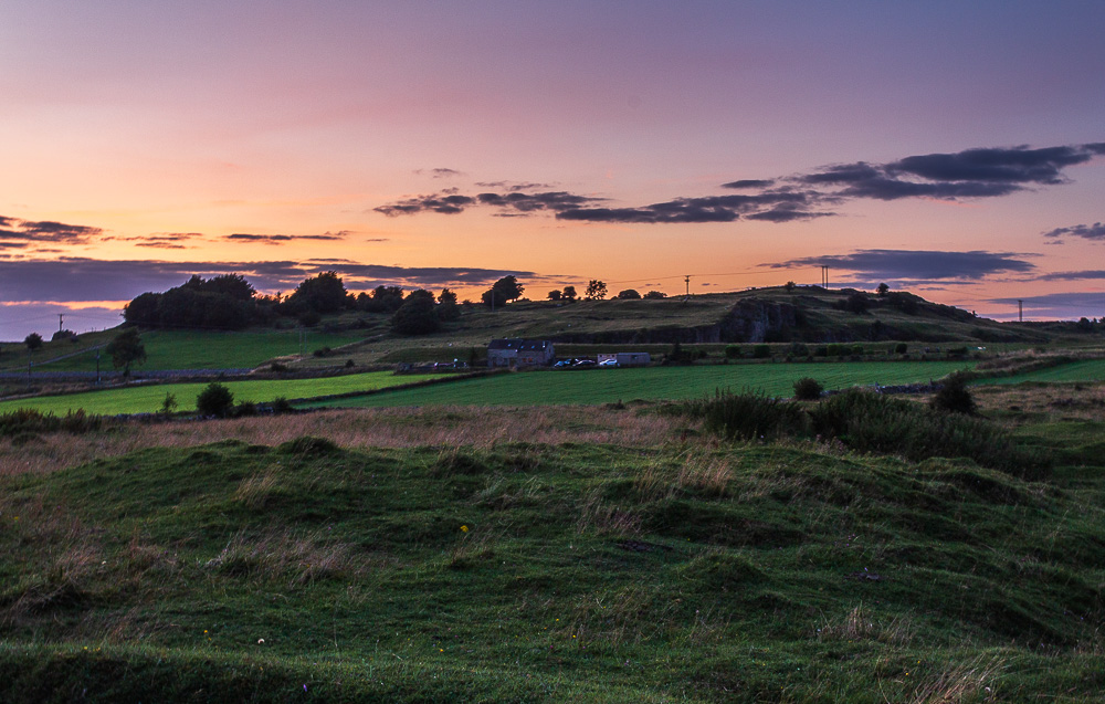
Looking towards Longcliffe as we head across the fields to Manystone Lane and the car.
All pictures copyright © Peak Walker 2006-2023