
Swindale - Lake District Walk
Monday 8th November 2021
Today we we were joined by Roger Hiley and his two dogs Dougal and Dylan. The plan was that Roger would join us for a walk up Rough Crag to High Street, with a walk into Swindale as a reserve if the weather didn't co-operate. The weather didn't co-operate.
A link to Roger's version of the walk can be found here.
Start: Haweswater Hotel (NY 4834 1390)
Route: Haweswater Hotel - Old Corpse Road - Swindale Head - Swindale Lane - Swindale Foot - Bewbarrow Crag - Naddle Farm - Haweswater Hotel
Distance: 8.5 miles Ascent: 510 metres Time Taken: 5 hrs 25 mins
Terrain: Clear paths
Weather: Overcast with showers
Pub Visited: Haweswater Hotel Ale Drunk: Black Sheep Bitter

When we had woken up this morning the sky over Rough Crag had looked like this, but as we sat eating breakfast the view of the head of the valley changed somewhat.
The clear view had disappeared to be replaced by low cloud, hence why the walk into Swindale was today's chosen route.

As we walked along the road from the hotel we got to enjoy this rainbow over Haweswater.
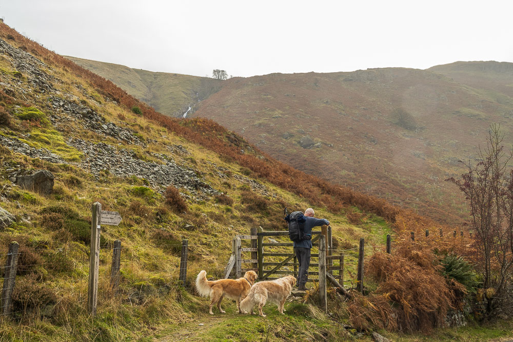
Our route into Swindale would follow the Old Corpse Road.
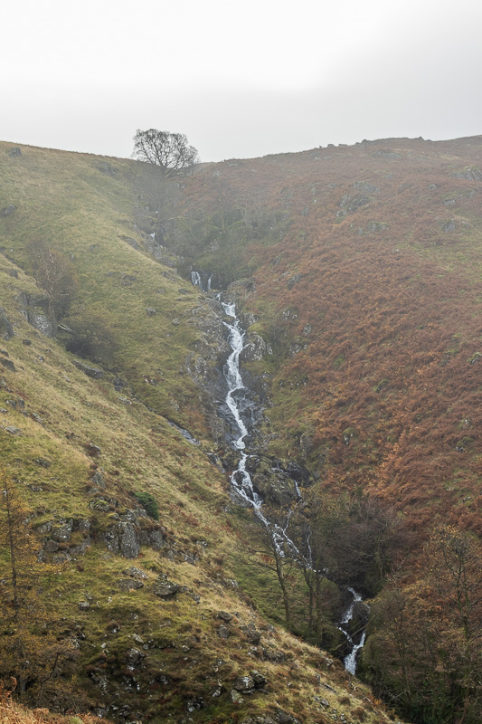
The route intially climbs up alongside Rowantreethwaite Beck.
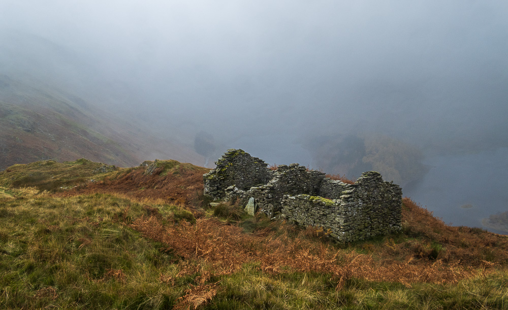
As we reach the old peat cottages the views of Haweswater start to disappear.
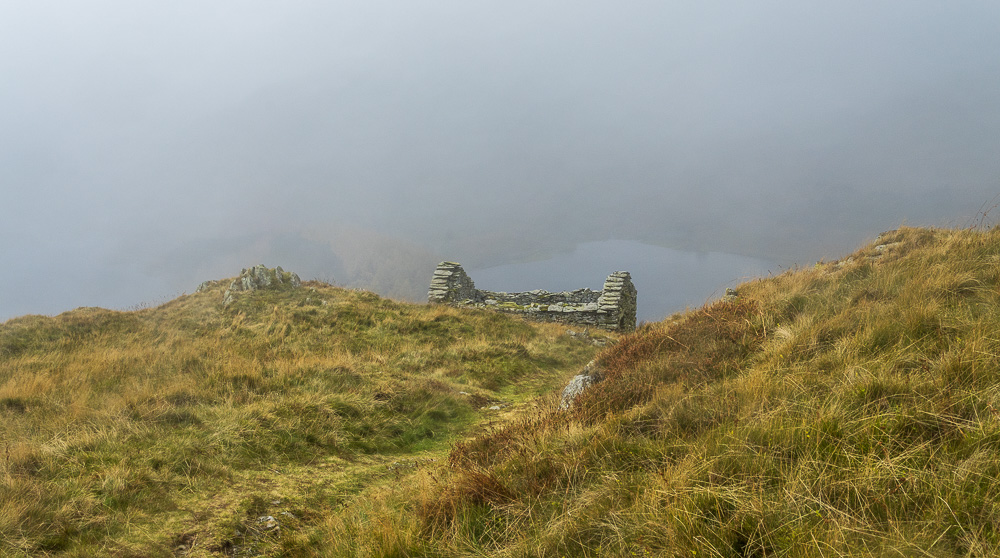
Climbing higher we pass other deserted cottages, some of which are now little more than a pile of stones.
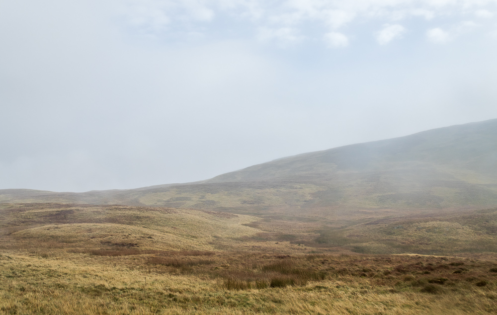
As we make our way along the path, below the lower slopes of Selside, the view in front of us still contains a hint of the blue sky we saw at breakfast.

Despite the mist there were no real navigational issues, just follow the path.
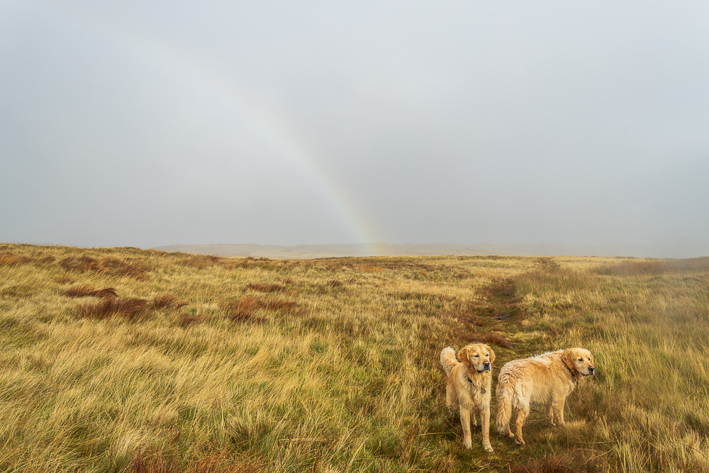
As we head along the path we are treated to the second rainbow of the day, although Dylan and Dougal seem unimpressed.
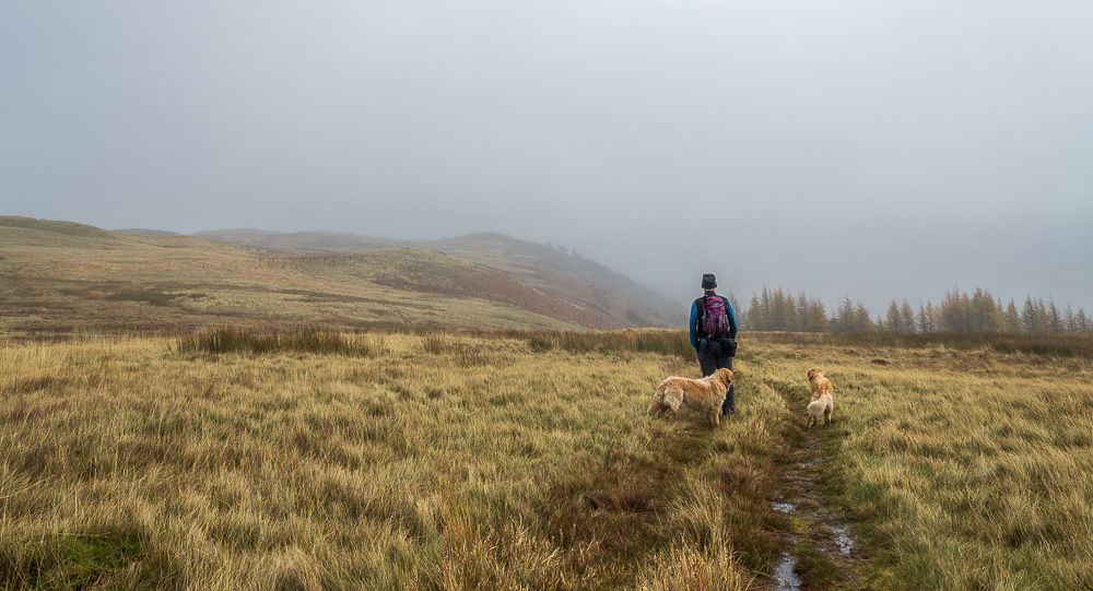
Thorny Knott appears out of the gloom on our left just as the path starts to make the descent into Swindale.

The dogs wait patiently as Roger takes a shot of the cairn he has just rebuilt.
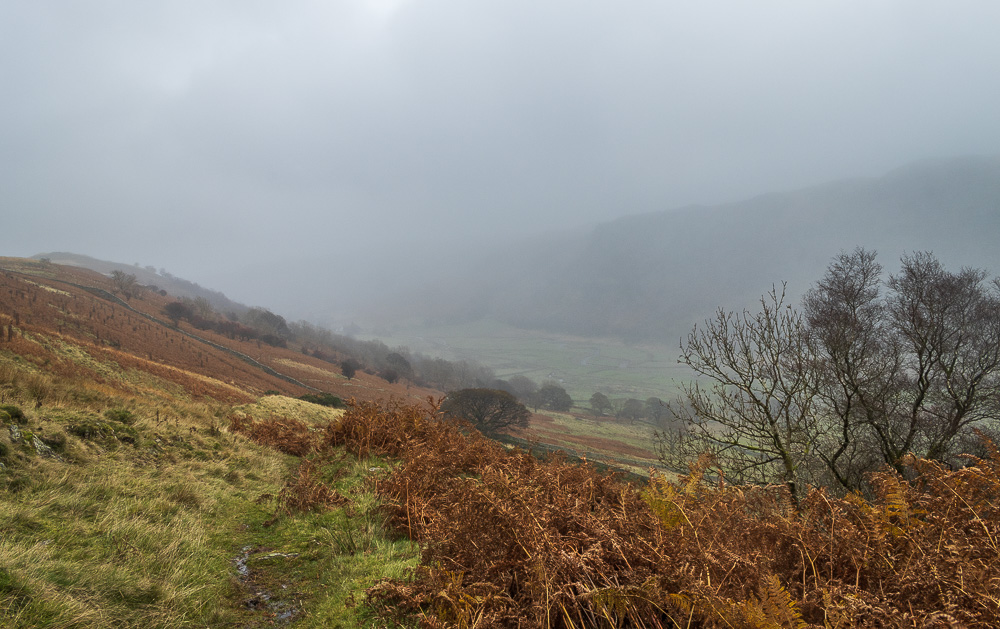
As we start to drop down we get our first view into Swindale.
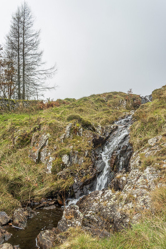
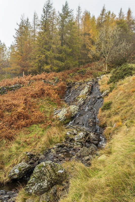
Having safely crossed the stream we take the time to enjoy a
coffee break at the side of the small, unnamed waterfall.
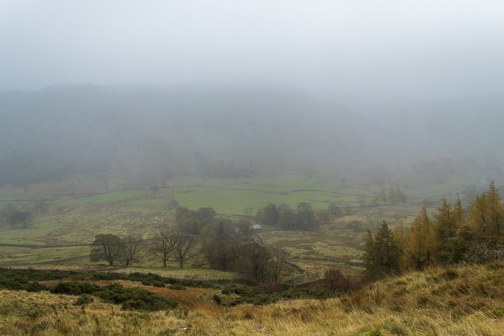
Below us we can make out the path we will take between the walls to the farm at Swindale Head.
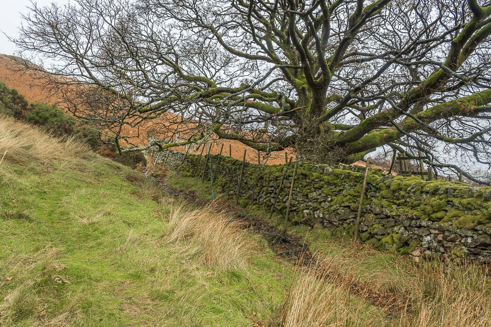
As we zig-zag down the hillside we come across this rope swing. Not the most comfortable of landings if you were to fall off.
Before joining the track to the farm we must first negotiate crossing
the stream again, this time it's a little wider and trickier.
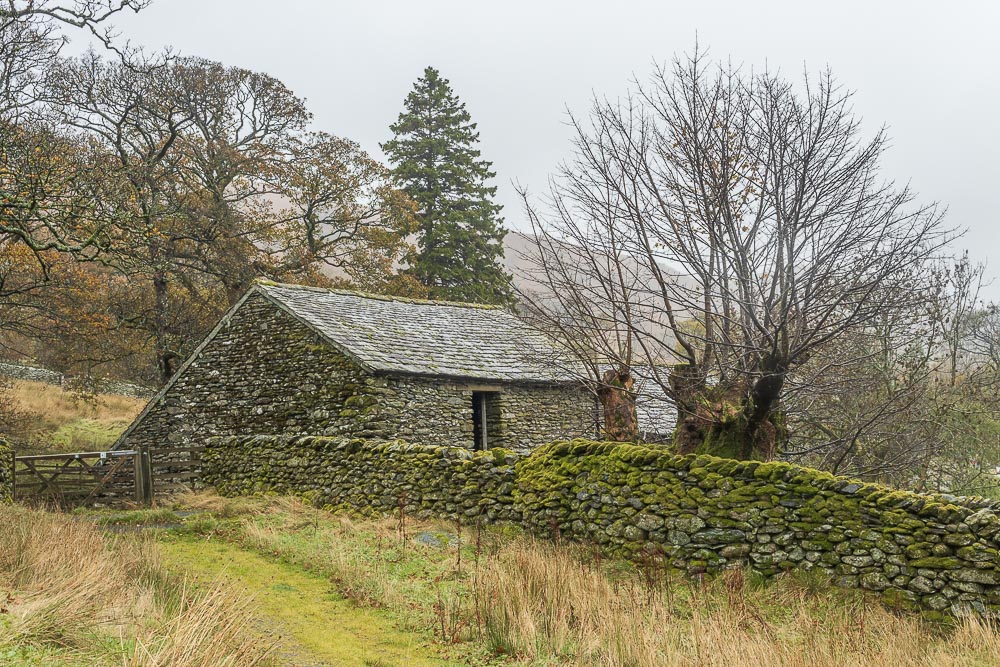
We make a small diversion to take a look into Swindale Head and enjoy the view of the farm.
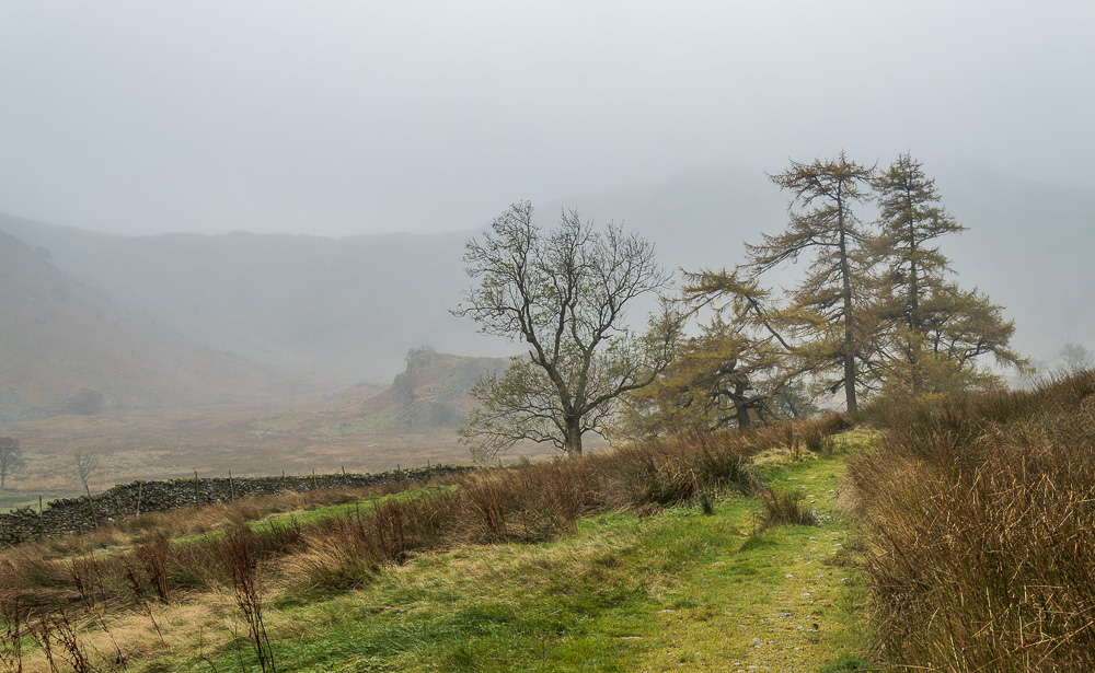
We resist the temptation to walk further along the valley, but it has gone onto my to do list for one of our next visits to the Haweswater Hotel.
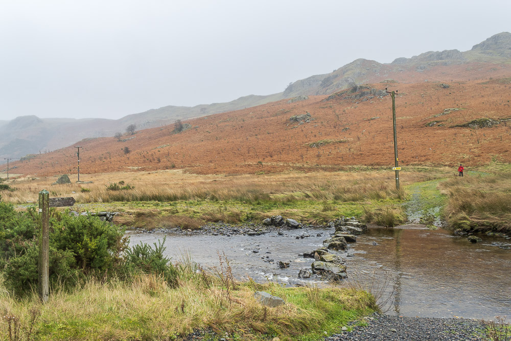
As we approach Truss Gap we wonder if this gentleman will be brave enough to attempt using the stepping stones or take the more sensible option of the footbridge. He opted for the footbridge, I don't blame him, those stones looked rather wet.

Heading along the lane Swindale Beck is in view, along with this view of the Swindale Intake which stands out in such a remote location. Research suggests it is part of a project completed a few years ago to rebend the river and it allows fish and eels to migrate safely along it.
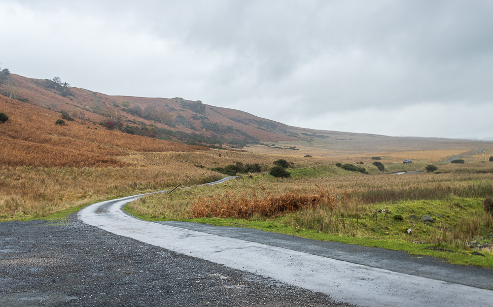
We soon reach the parking area at the end of Swindale and just as we do the rain starts to get heavier.

Our route now heads uphill, below Bewbarrow Crag, but first isn't it time to try and find somewhere to sit and eat our lunch.
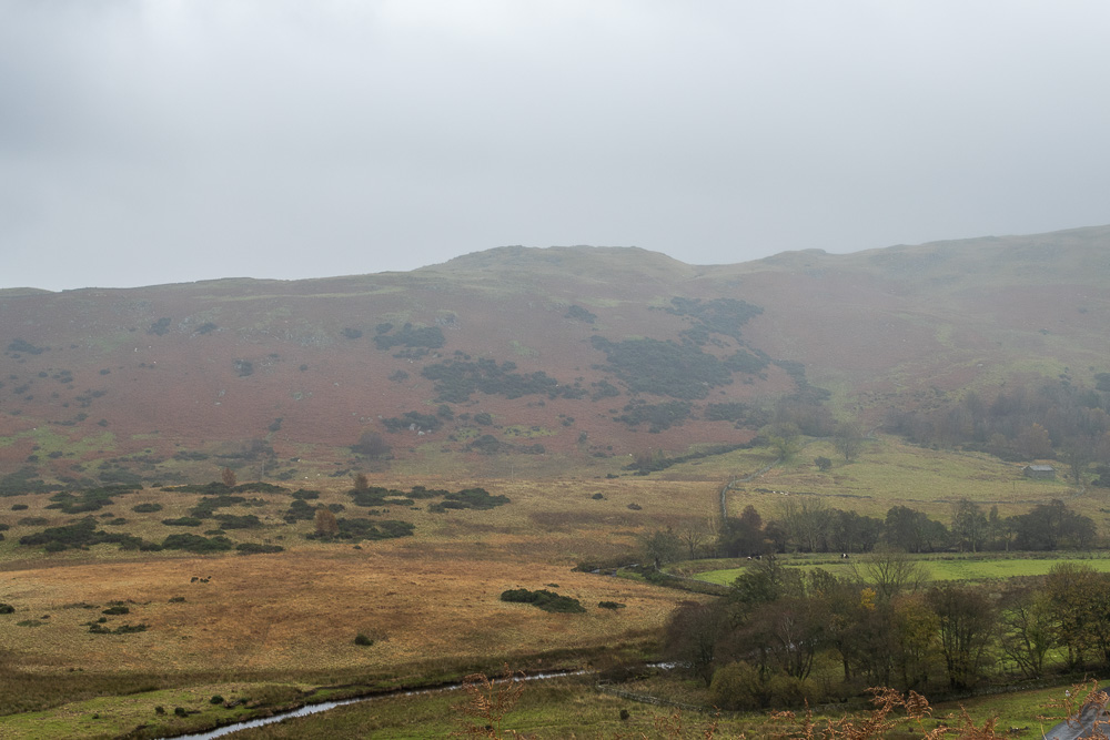
The rain stopped long enough for us to enjoy a dryish lunch, here looking across the valley to what I think is Langhowe Pike.
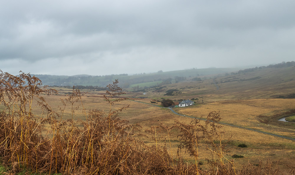
As we sat we were entertained by a farmer driving along the road by the Filter House calling to his sheep, none of whom put in an appearance.

As we follow the track across the moor the weather can't make its mind up. One minute it's raining hard enough to make you put your camera away, the next the cloud is hinting it might break up and show you some blue sky.
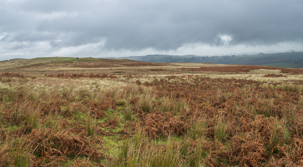
As Scalebarrow Knott comes into view so too does the vehicle we sat watching driving back and forth along the road whilst we had lunch. Still no sign of the sheep.
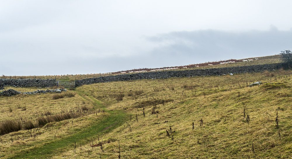
A few minutes later and the sheep appear, followed by the farmer and his dogs.

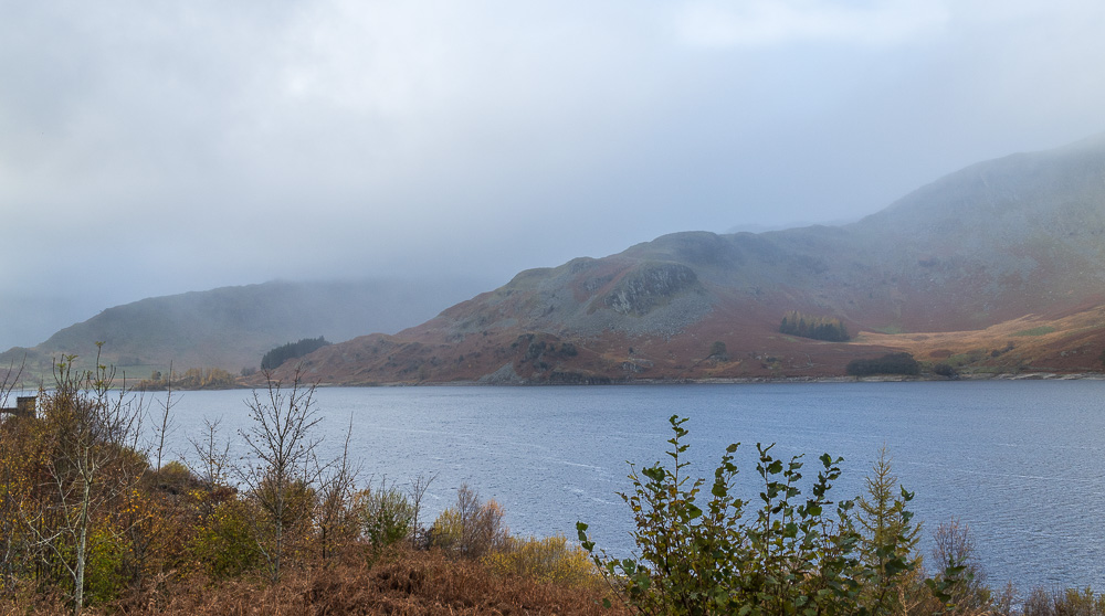
As we start to descend Four Stones Hill and Haweswater Reservoir come into view.

Naddle Low Forest is also visible and looking at it from this angle it is obvious where the summit is, shame it isn't so clear when approached from the opposite direction.
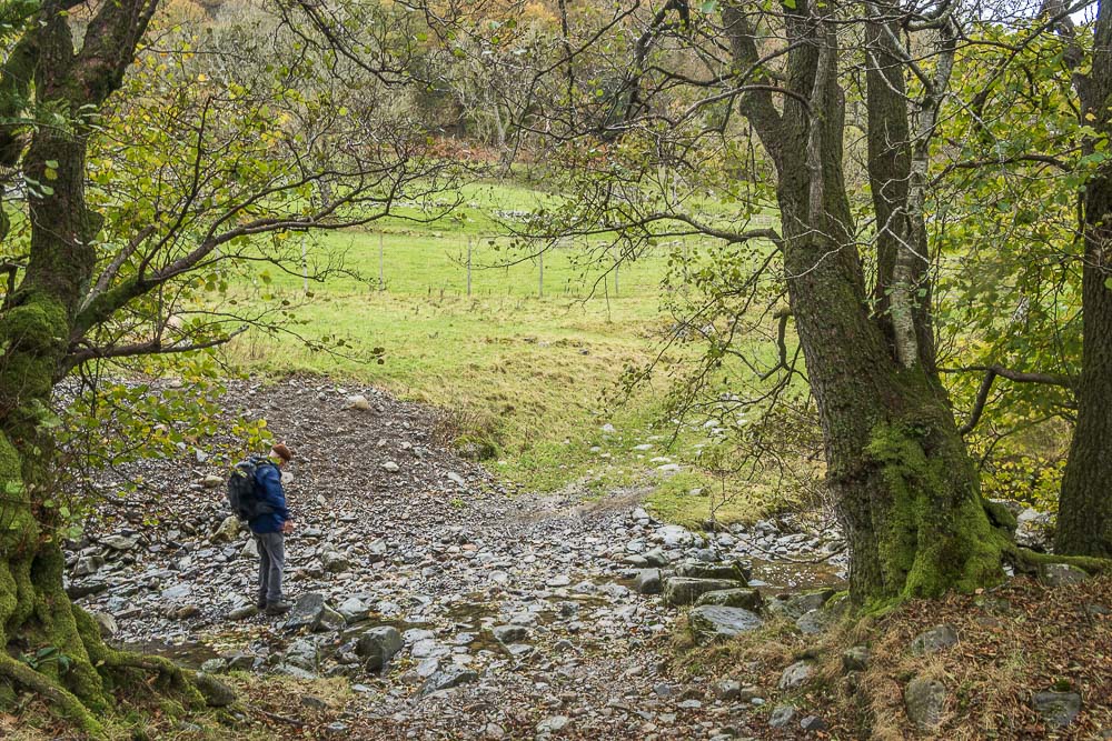
The ford at Naddle Beck is soon reached and easily crossed.
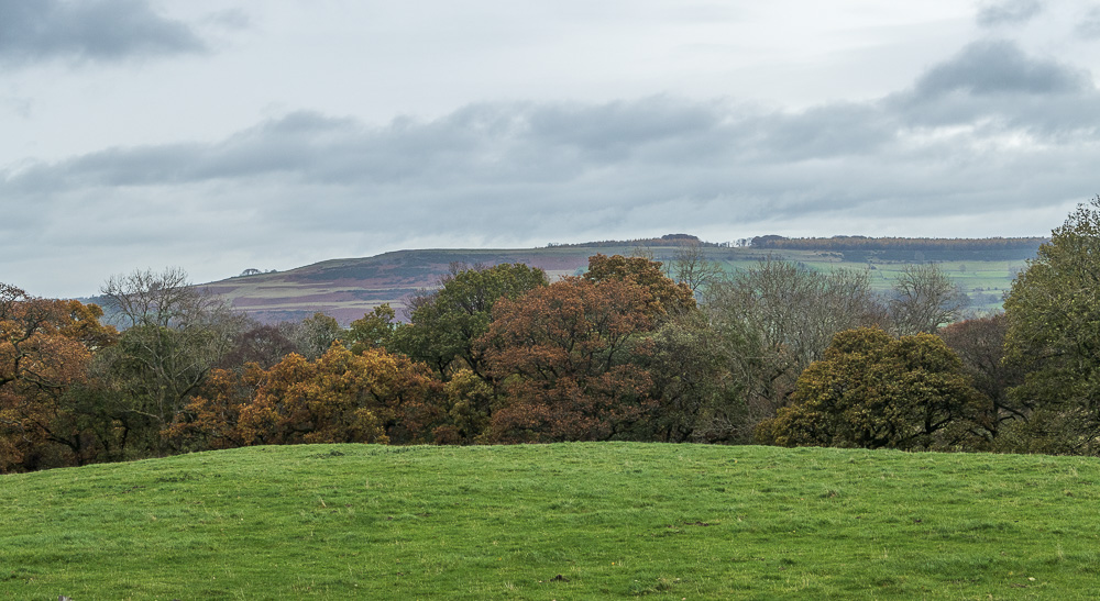
Looking across to Knipe Scar as we head along the track from the farm to the road.

Looking across the reservoir we debate what the bales we can see in the cleared areas on the other side of the reservoir might be. As we were able to confirm a few days later they were in fact bales of ferns.
Now did someone mention a pint in a warm hotel lounge, lets hope the fire has been lit.
All pictures copyright © Peak Walker 2006-2023