
White Edge - Peak District Walk
Monday 27th March 2023
With today forecast to be the only dry day of the week I was determined to get out for a walk. After all the recent rain I was looking for a route that wouldn't turn into too much of a mudfest and a walk along the edges seemed to fit the bill perfectly. One note for anyone attempting this walk in the coming weeks, check which way you approach the car park as the road up from Curbar was closed, despite what the road sign at the junction with the A621 implied there is access to the car park.
Start: Curbar Gap car park (SK 2524 7470)
Route: Curbar Gap car park - White Edge (TP) - Hurkling Stone - Grouse Inn - Hay Wood - Froggatt Edge - Curbar Edge - Curbar Gap car park
Distance: 6 miles Ascent: 272 metres Time Taken: 3 hrs
Terrain: Clear tracks
Weather: Warm and dry
Pub Visited: None Ale Drunk: None

Looking up to White Edge from close to the car park, I can already see a couple of groups of people walking along it, I guess a few others had checked the forecast for the week and were taking advantage of a dry day.

Looking across to Eaglestone Flat after I have negotiated the steps after Sandyford Brook.

Looking back to Eaglestone Flat as I'm about to join White Edge and the Eaglestone is now visible across the moor.

As I turn along the path up to White Edge Win Hill is visible in the distance.

It isn't long before the trig point, which marks the highest point of this walk is visible.

The trig point is busy, with people arriving and leaving and some even breaking out the sandwiches for an early lunch.

Looking across Big Moor from the trig point with Higger Tor illuminated by the sun.

Looking across to Curbar Edge from White Edge, with the concessionary path across the moor visible.

Looking across Stoke Flat, Sir William Hill stands out thanks to the mast close to the summit.

Heading along White Edge I soon find myself looking at an illuminated Bamford Edge.

The trees on the skyline tell me that I can now see White Edge Moor and also that the end of White Edge is in sight.

As I make my way along the edge the view along the Derwent Valley opens up and I can now see Bleaklow in the distance. Closer to me Higger Tor is now in shade and remains so for the rest of my walk.

Looking back at the descent I have started to make off White Edge.

I soon come across the Companion Stone on White Edge, another sign that I will soon be leaving the edge.

Having crossed the wall I have left White Edge and I turn downhill towards the Grouse Inn.

White Edge and Stoke Flat seen through a gap in the wall on my way down to the Grouse Inn.

As I head downhill the view includes Sir William Hill, Eyam Moor and Offerton Moor.
Having negotiated the slightly rocky section of the descent my route will take me through the trees to the field.

Looking back to White Edge and the short rocky section on the route.

What is normally an easy walk across the field to the Grouse Inn has been made a bit trickier by all of this month's rain. I ended up with one boot encased in mud by the time I reached the gate to the road.

Having negotiated the mud I take a final look back at White Edge.

Rather than walk along the road I take the footpath by the Grouse Inn across the fields towards Hay Wood.

Just before I rejoin the road I have to negotiate the stream, which needless to say is rather full.

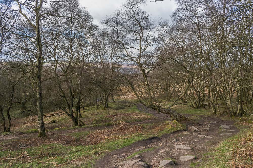
Walking through the trees at the start of Froggatt Edge and there is little sign here that it is spring.

The stone circle is just about visible from the path.

As the trees start to thin out the view across the valley now includes Calver Peak.

As the rocks along the edge start to appear thoughts turn to finding a lunchspot with a view.

I find a spot away from the main path that gives me a view down the valley to Bamford Edge.

I can also look across White Edge Moor to White Edge Lodge.

Lunch over, I rejoin the main path, through the rocks, on Froggatt Edge.

I soon find myself looking at the short climb that will take me onto Curbar Edge.

Looking back along Froggatt Edge as I join Curbar Edge.

White Edge across Stoke Flat, from Curbar Edge.

Rather than walk along the main path I follow the path that wanders inbetween the rocks, close to the edge, in order to enjoy the views across to Baslow Edge.

I can also enjoy the views along the Derwent Valley to Chatsworth.

Looking across the valley to Back Dale and Longstone Moor.

Looking back to Sir William Hill from Froggatt Edge.

The view towards Baslow Edge from close to the Pinnacle Stone.

As I approach the road Gibbett Moor is visible beyond Eaglestone Flat.

A final look across Eaglestone Flat and Baslow Edge as I approach the gate back to the car park.

A final view towards Baslow Edge as I leave Froggatt Edge and take the path to the car park.
All pictures copyright © Peak Walker 2006-2023