
Rothbury Terraces - Northumberland Walk
Sunday 23rd April 2023
The first day of our week in Northumberland was predicted to be one of the few dry days of the week, so we made sure to get out early to beat the rain forecast for late afternoon. Given it was a Sunday we opted to walk from the cottage we were stopping in to avoid any issues with parking, the only downside being the steep walk back up to the cottage we would have to do at the end of the walk.
Start: Whitton (NU 0586 0108)
Route: Whitton - Rothbury - Addycombe - Primrose Wood - Crockys Heugh - Blue Mill Wood - Target Plantation (TP) - Brae Head - Ship Crag - Rothbury - Whitton
Distance: 7.25 miles Ascent: 419 metres Time Taken: 4 hrs 5 mins
Terrain: Clear paths
Weather: Dry and sunny with cloud later
Pub Visited: Queens Head, Rothbury Ale Drunk: Black Sheep Best Bitter
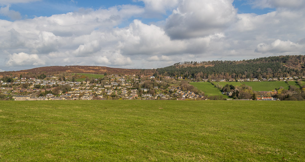
Walking from our cottage we first of all had to drop down into Rothbury, but then we would climb up the other side of the valley into the woodland opposite us.
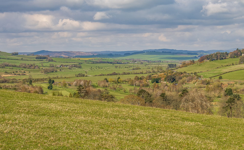
Looking along Coquetdale towards the Cheviots, where we would be walking later in the week.
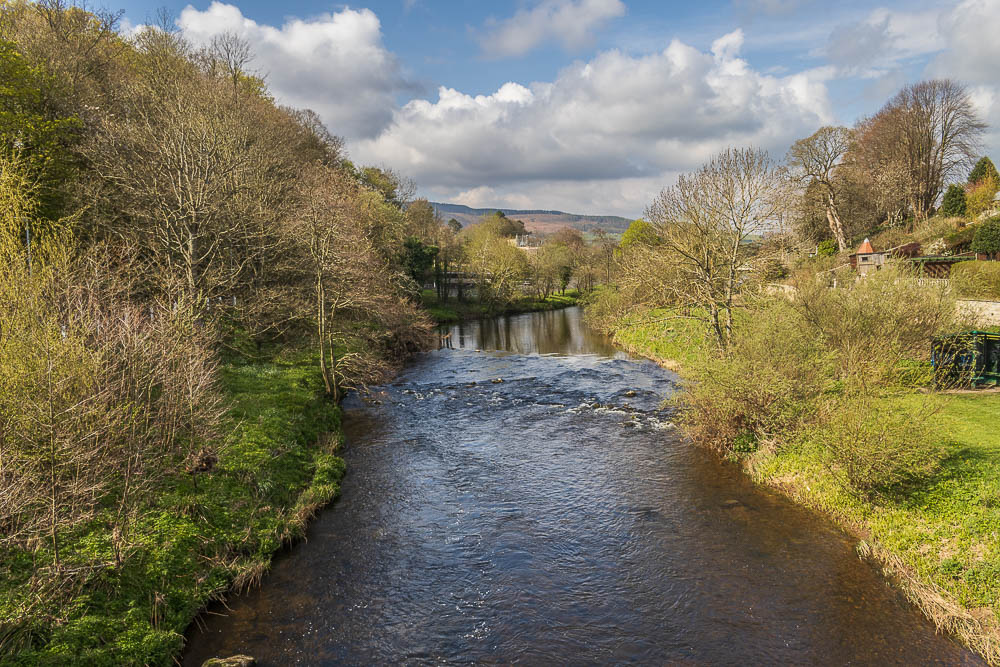
Crossing the bridge which will take us into Rothbury we get to enjoy the view along the Coquet river.
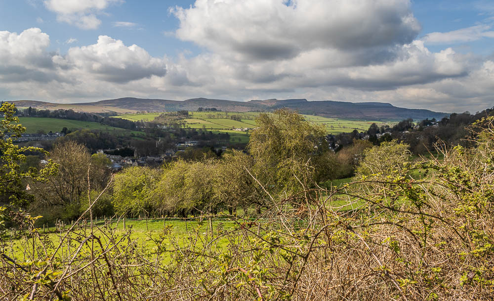
Having climbed up to Hillside Road in Rothbury we pause for a view back across Rothbury to the Simonside Hills.
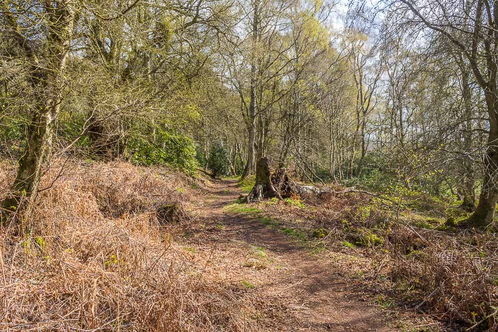
From the road we take a signed footpath which leads into a wood and continues uphill.
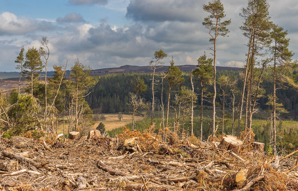
The path winds its way through the wood and round the hillside. A section that has been felled recently gives us a view across Thrunton Woods to Long Crag.
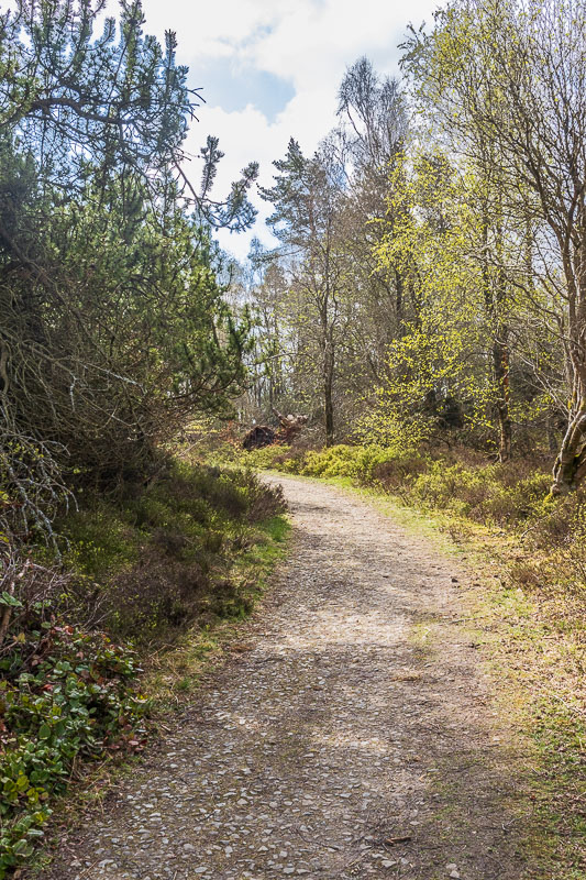
It is very difficult to get lost as we just follow the path through the wood,
which whilst it seems to turn back on itself doesn't have any paths leading off it.
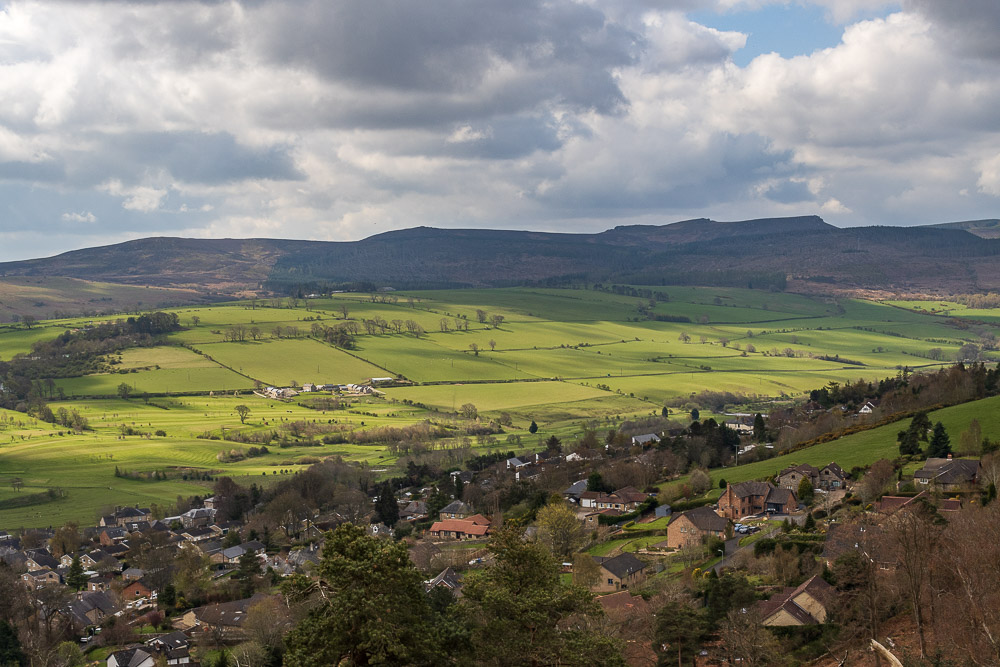
Just before we exit the wood we reach a rocky clearing which gives us a good view across the valley to the Simonside Hills.
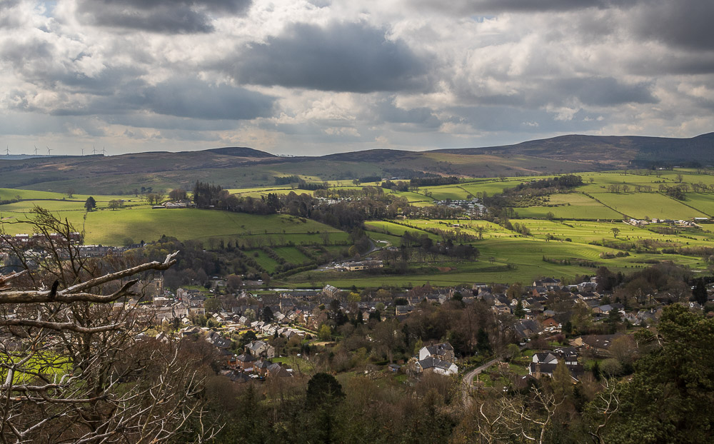
Looking across the valley to Whitton, the hamlet we are stopping in, and Garleigh Moor.
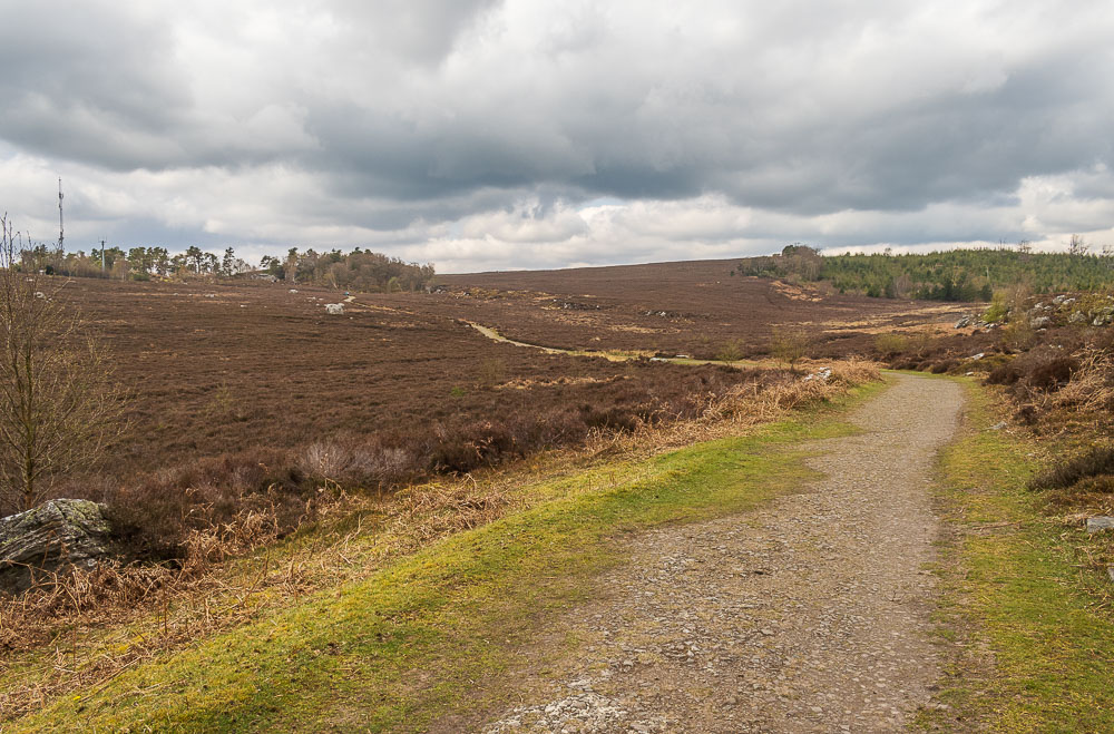
Leaving the wood we pass through a gate and initially follow the broad track towards Ship Crag.
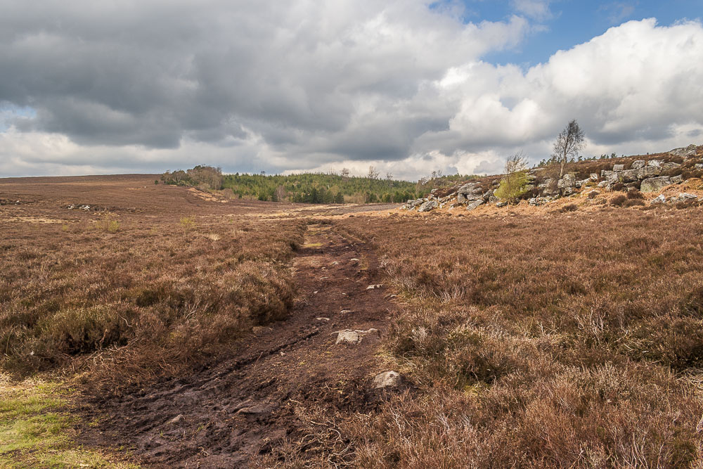
We leave the main path and cut across the moor heading towards Primrose Wood.
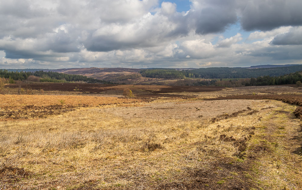
Our route doesn't enter Primrose Woods immediately, instead it bears right around the rocky outcrop to follow a clear path downhill across Debdon Moor, with views across towards Bieldy Pike.
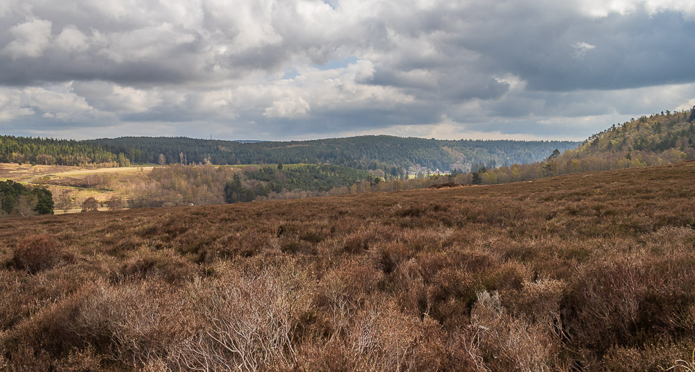
As we cross the moor we get a glimpse of some of the buildings close to the shop and cafe in Cragside, a location I know well as my former mother-in-law used to live there when she ran it for the National Trust.
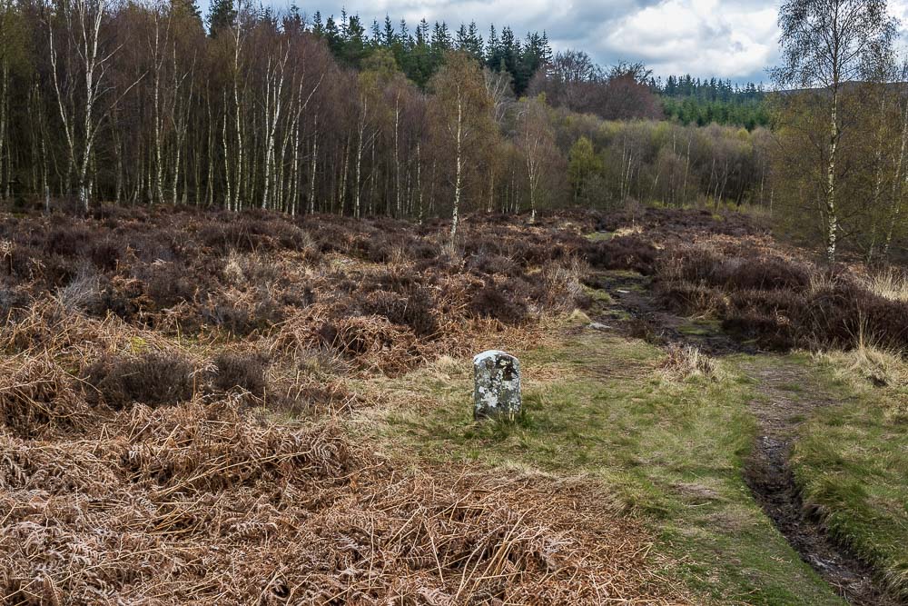
As we are about to enter Primrose Woods we come across an old boundary marker with the letters R and D on it.
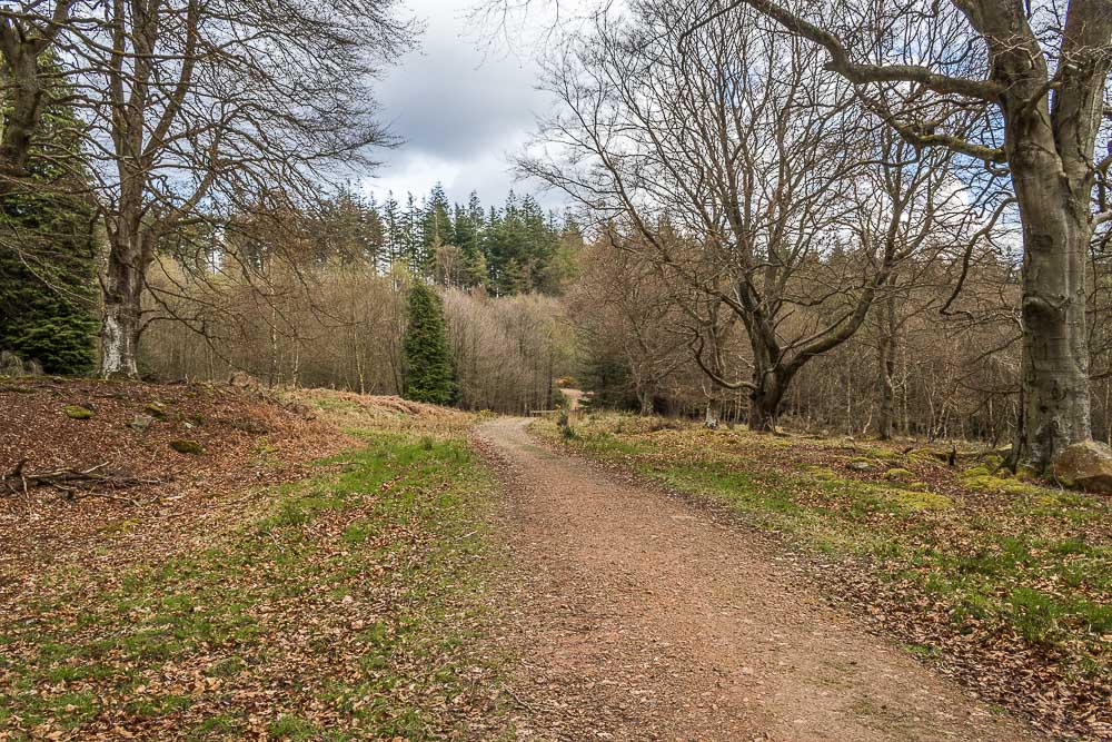
We soon enter Primrose Wood and follow the track right to another track. It's hard to believe looking at all the bare branches that it is late April, spring certainly seems to be taking its time arriving this year.
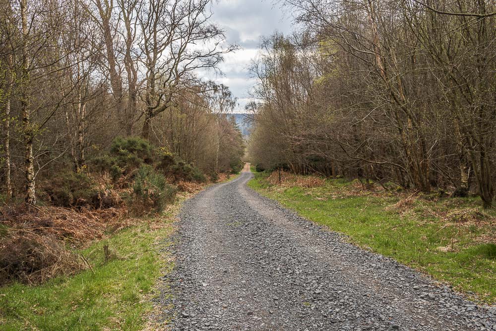
Looking back down the track we have just followed uphill through Primrose Wood.
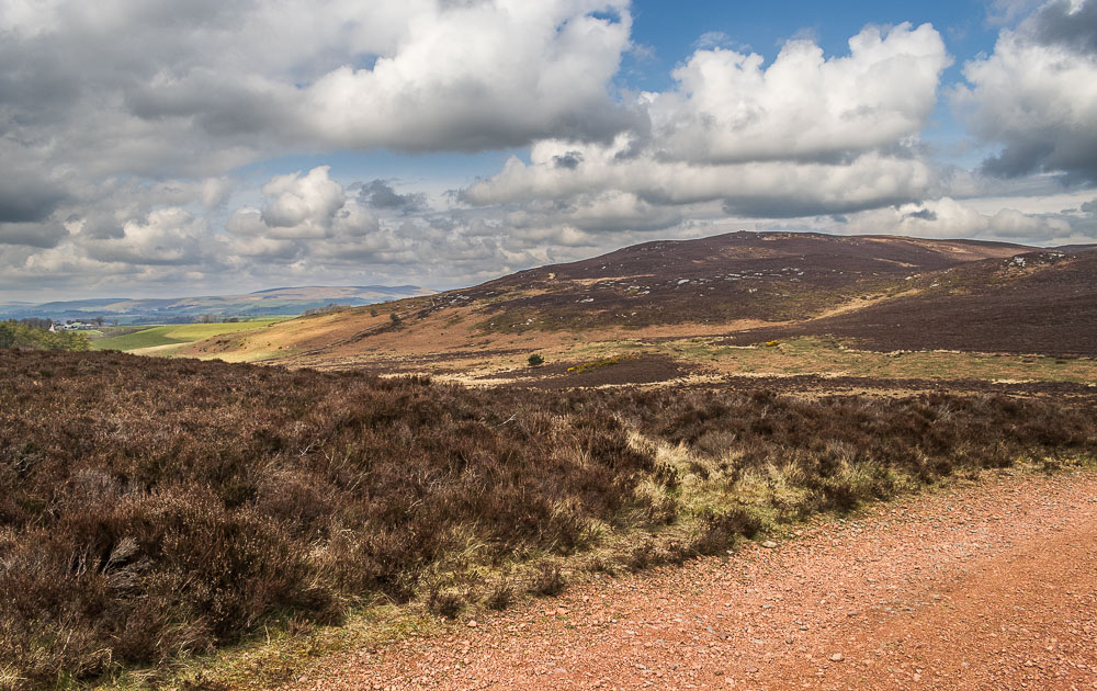
As we approach the area marked as Crocky's Heugh on the map Cartington Hill appears in front of us.
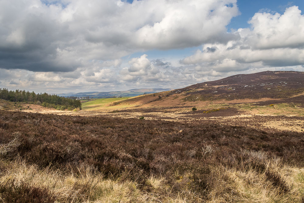
As we pass below Cartington Hill the Cheviots start to appear. We have been making good time and debate going up Cartington Hill but as it would just be an up and down we decide against it as it will always be there for another day.
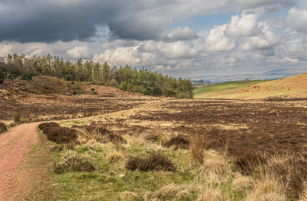
The route takes us along the old carriageways constructed by Lord Armstrong so his visitors could drive around his estate in their carriages. The plus for us is that they make for easy going and make it difficult to lose the path.
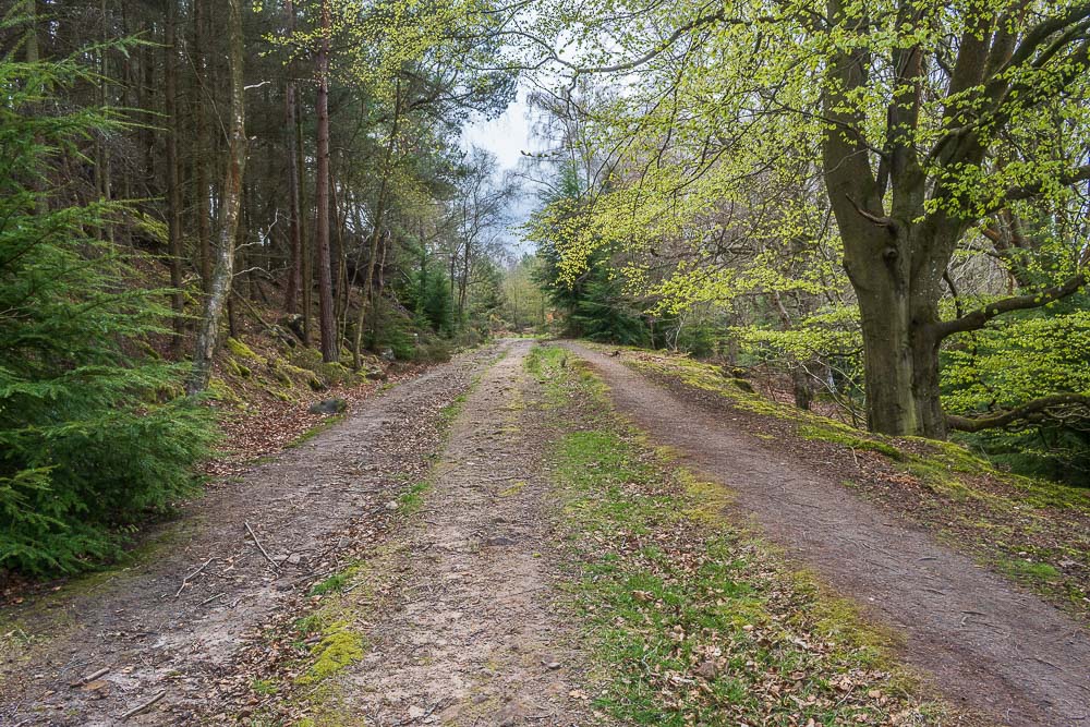
The walk is a mixture of woodland and open moors. Here we have a short stretch through Blue Mill Wood, where finally there are some signs of spring.
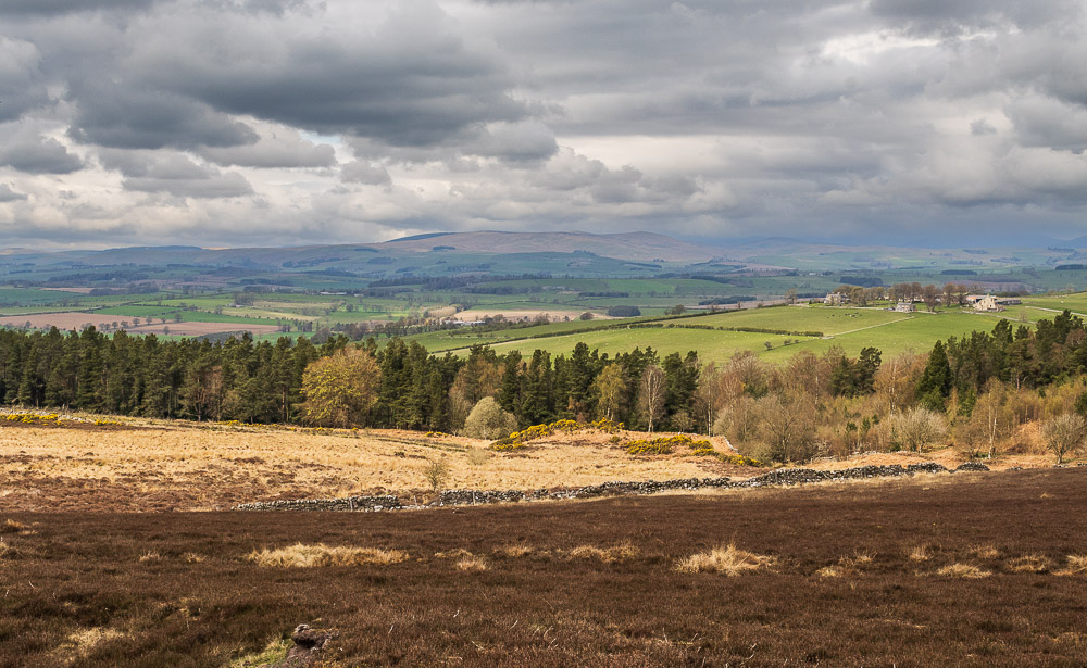
Back out onto the moors and as we look across towards the Cheviots there are signs that the rain we were promised in the afternoon is on its way.
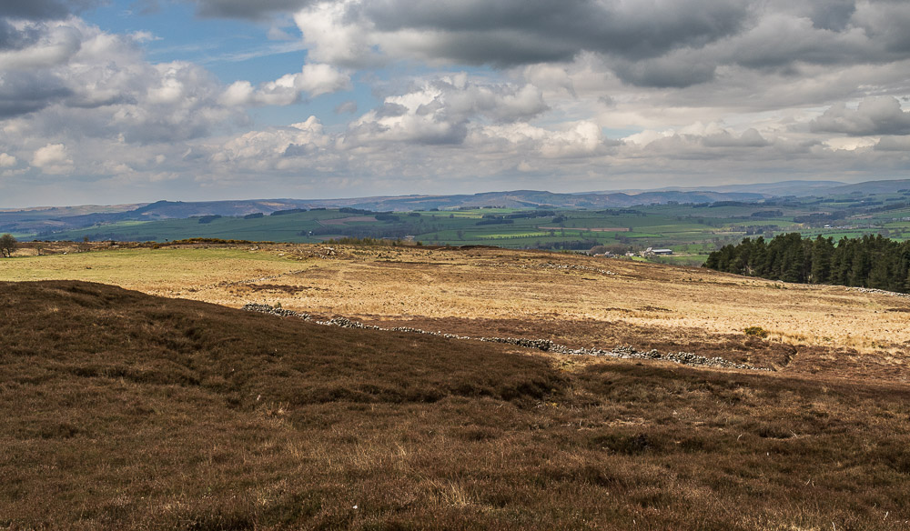
Looking towards Harbottle it looks like there is still a chance we may stay dry.
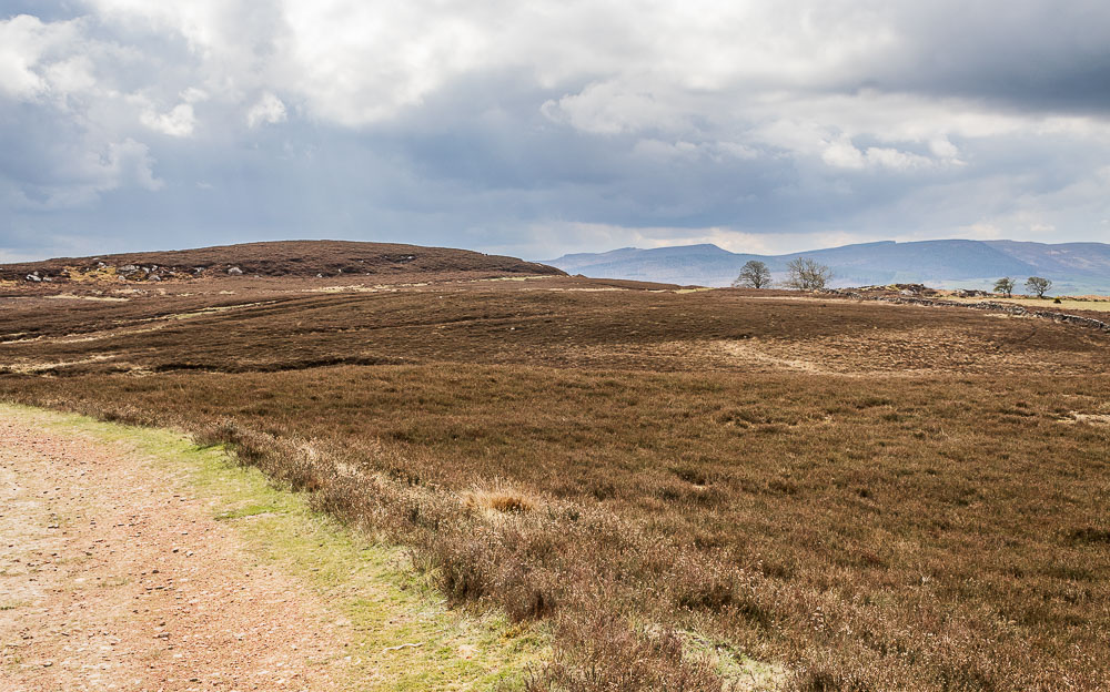
As we follow the carriageways across the moor we are on the lookout for the trig point, which we hope to visit.

We follow the path around the first small hill and then we spot the trig ahead of us and divert off the main path to visit it.
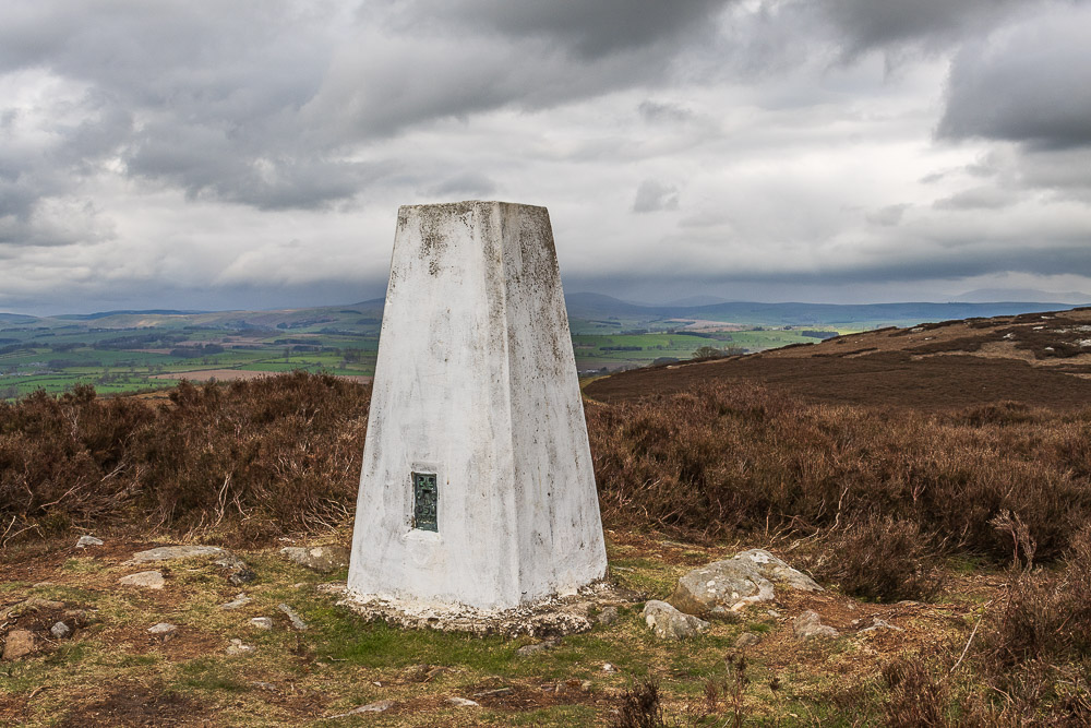
We decide to have lunch at the trig point and spend the time watching the Cheviot hills disappearing as the rain blows across them.
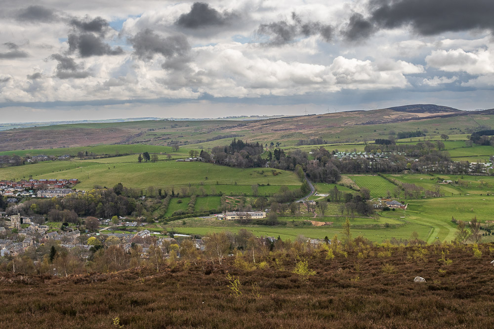
As we follow the track around Ship Crag we divert off the main path to a viewpoint, here looking across Rothbury towards Whitton.
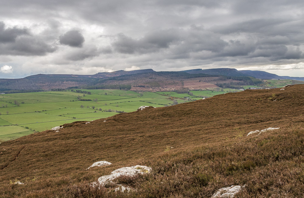
It also gives us yet another great view across the Croquet Valley to the Simonside Hills.
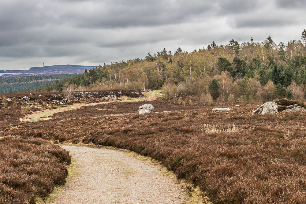
As we approach the gate back into Addyheugh we are on the look out for a path which will take us down through the woods and back to Rothbury.
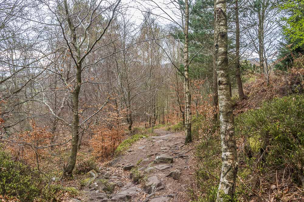
The track through the wood takes us down to the lane known as Blaeberry Hill from where we follow the tarmac tracks back into Rothbury and head into the pub for a drink, just before the rain arrives.
All pictures copyright © Peak Walker 2006-2023