
Garleigh Moor - Northumberland Walk
Thursday 25th April 2024
After a touristy day yesterday and with a meal out booked for this evening we hoped to get a short walk in despite the forecast for rain in the morning and brighter spells in the afternoon. Just as we planned on setting out it started to snow, but it soon blew through so we wrapped up warm and headed out hoping to reach Garleigh Moor and the trig on the summit.
Start: Whitton (NU 0586 0108)
Route: Whitton - Hillhead Road - Whittondean - Birky Hill - Garleigh Moor (TP) - Birky Hill - Whittondean - Hillhead Road - Whitton
Distance: 4.5 miles Ascent: 242 metres Time Taken: 2 hrs 30 mins
Terrain: Predominately good paths
Weather: Cold with a mix of sunshine and showers
Pub Visited: None Ale Drunk: None
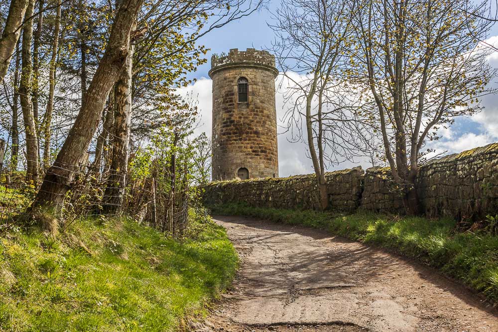
The familiar sight of Sharpe's Folly as we head out along Hillhead Road.
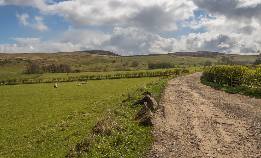
Across the fields we can see our destination of Garleigh Moor.
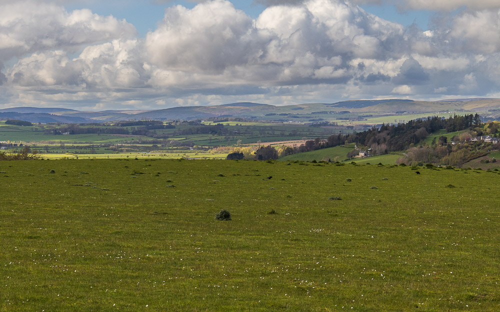
Looking the other way the snow shower has passed and we now have a clear view across Coquetdale to the Cheviots.

It is very pleasant walking along Hillhead Road, as there are very few properties along it so it is rare to meet a car.
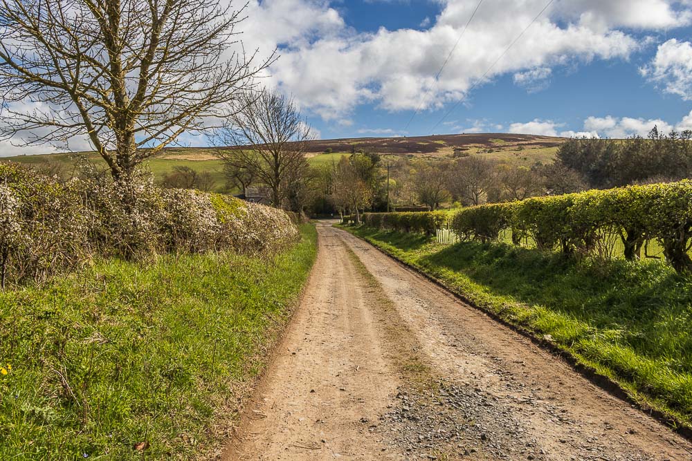
The track to Whittondean is just as good as the Hillhead Road. Ahead of us we can see Birky Hill.
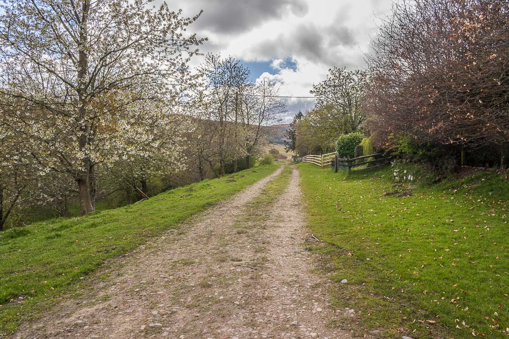
The track around Whittondean is well signed and keeps you away from the farm.
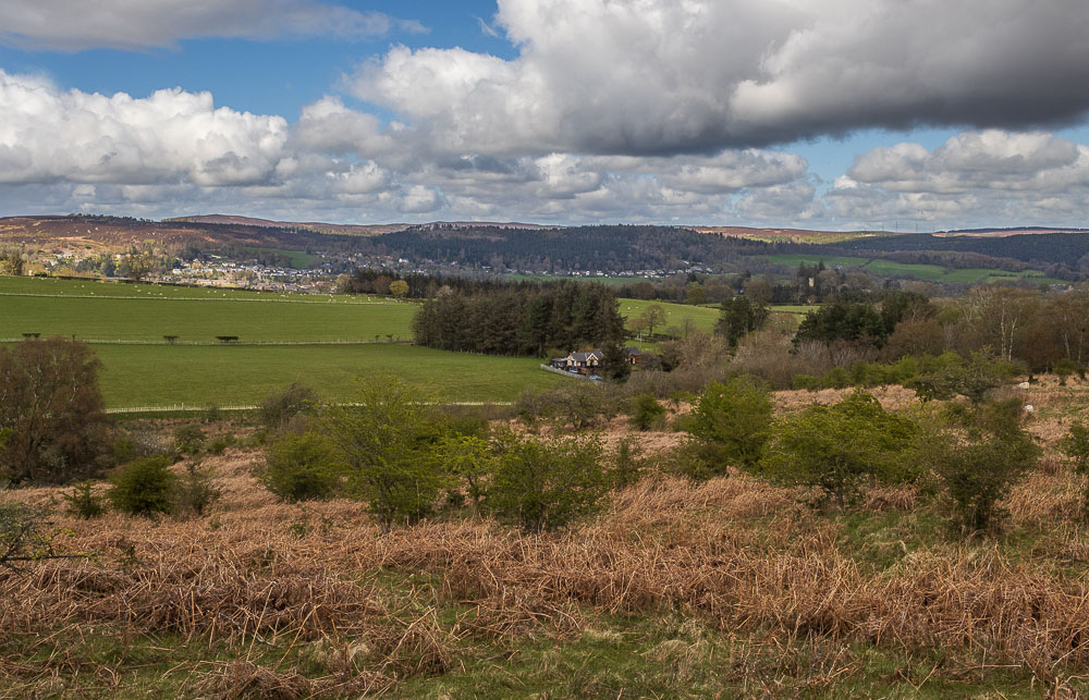
We are soon on the hillside and looking across Whittondean and Rothbury to Rothbury Terraces.
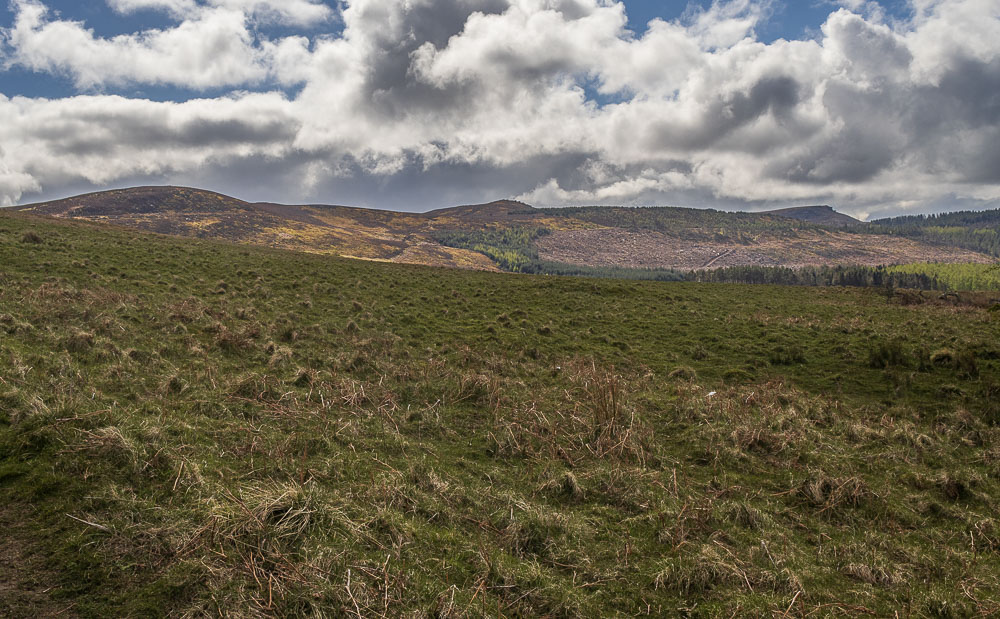
The views, despite very little gain in height are great, here looking across to the Simonside Hills.
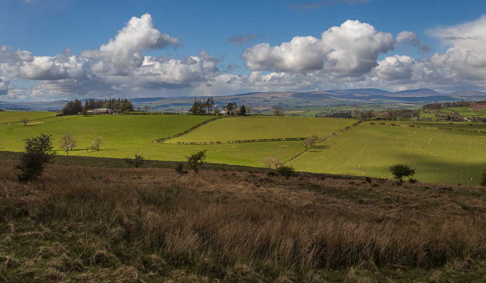
Looking across to the Cheviots.
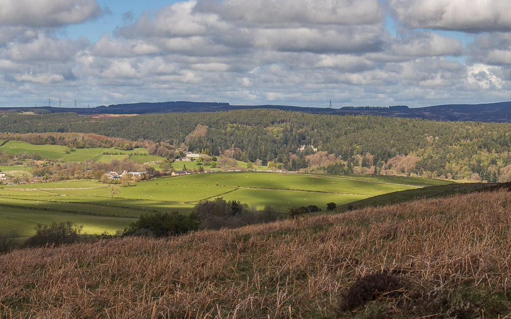
In the trees below us we can make out the house at Cragside.
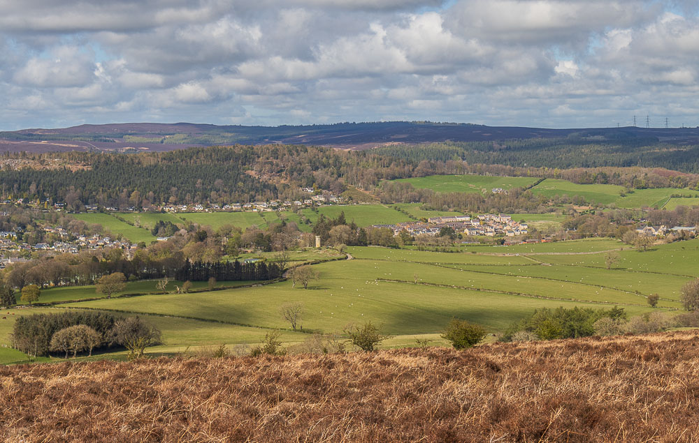
Looking across Rothbury to Rothbury Terraces.
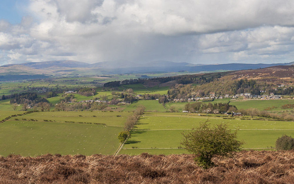
As we stood looking across to the Cheviots a snow shower blew across Coquetdale, with the edge of it just catching us.
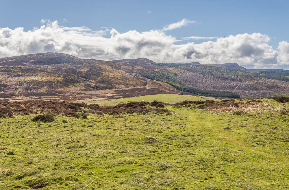
We had barely got our hoods up and it had blown through and the Simonside Hills and Cheviots were once again clear.
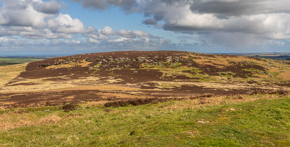
Once we gained the top of Birky Hill we were able to see our route across to Garleigh Moor. Looks like there is a bit more up and down yet.
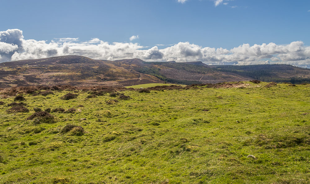
Before we headed across to Garleigh Moor we explored the top of Birky Hill, which is the site of an old fort.
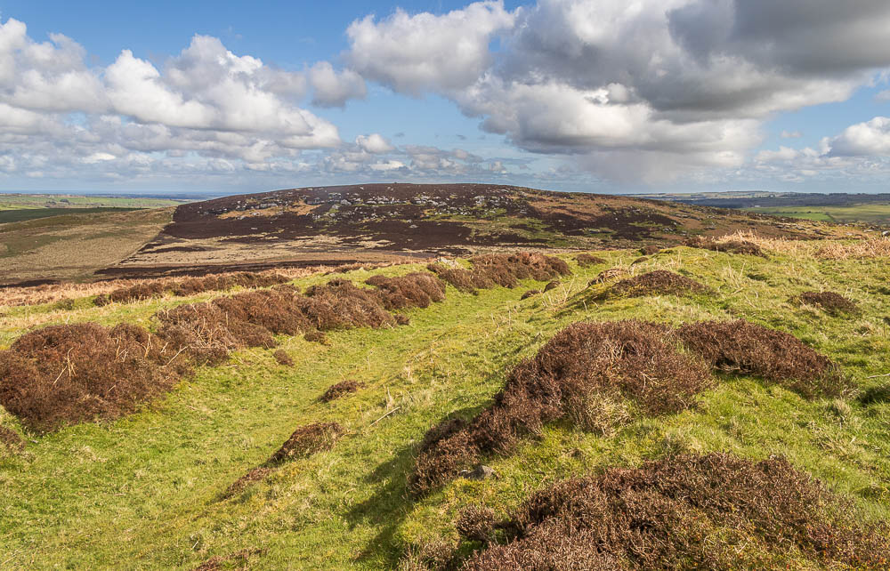
The old ditches on what is officially called Lordenshaw Hill Fort. The hill really justifies a return visit as there is a lot to see here, but our objective is the trig, so we leave it to explore another time.
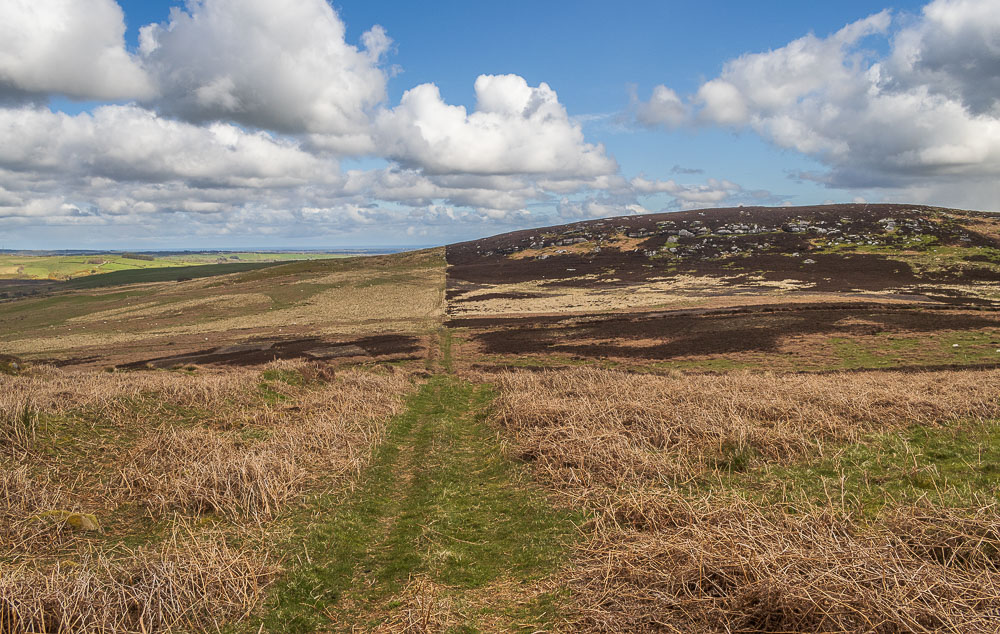
There is a clear track between Birky Hill and Garleigh Moor, but once you need to start climbing onto the moor itself it is pathless so it more of a case of picking the best route you can between the rocks and heather.
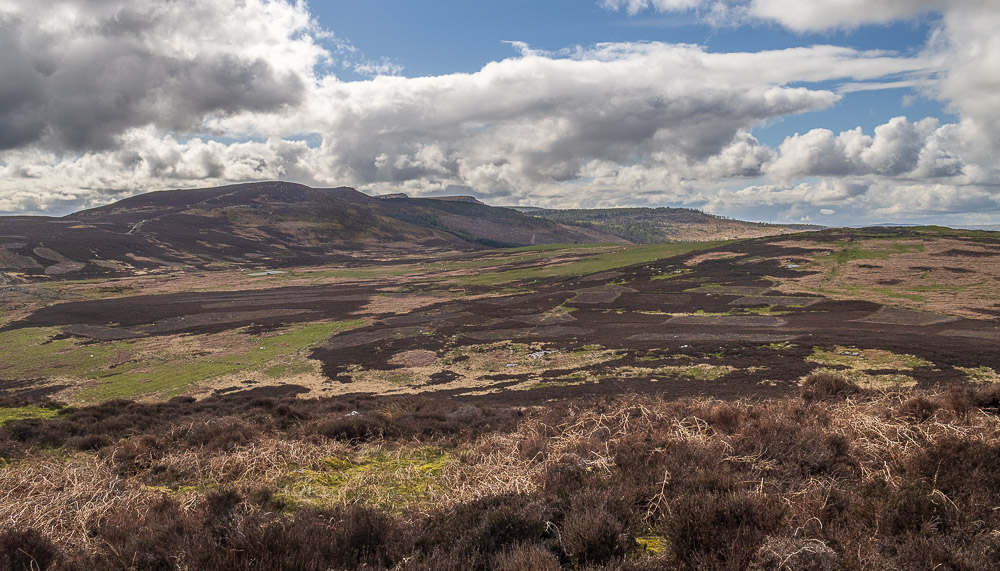
Birky Hill and the Simonside Hills from the climb up onto Garleigh Moor.

Once we were on the top we still had to pick our way along the sheep trods to reach the trig and summit cairn.
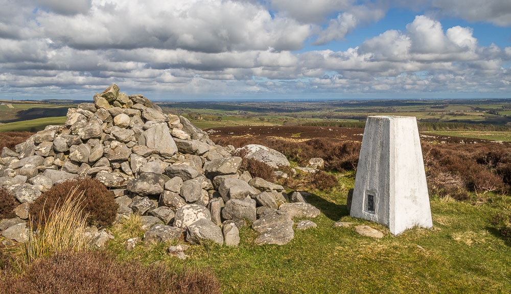
From the summit we could look across in the direction of Alnwick to the coast.
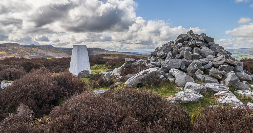
Looking across to the Simonside Hills from the summit. Despite all the blue sky it was bitterly cold, with a strong breeze and so we didn't hang around at the summit for too long.
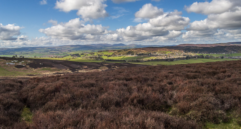
Looking across the lower slopes of Birky Hill and Coquetdale to the Cheviots.
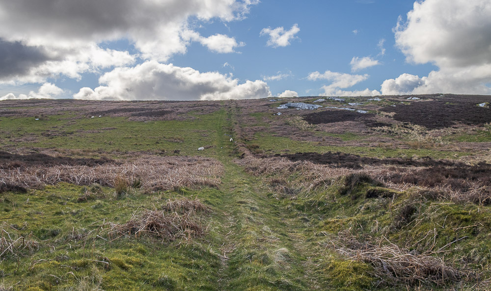
When we reached the bottom of the col between Birky Hill and Garleigh Moor we could have opted to take a more direct route back across the fields, but we knew there were cows and a bull in the fields we would have had to cross so opted to follow the cow free route back and retrace our steps back over Birky Hill.
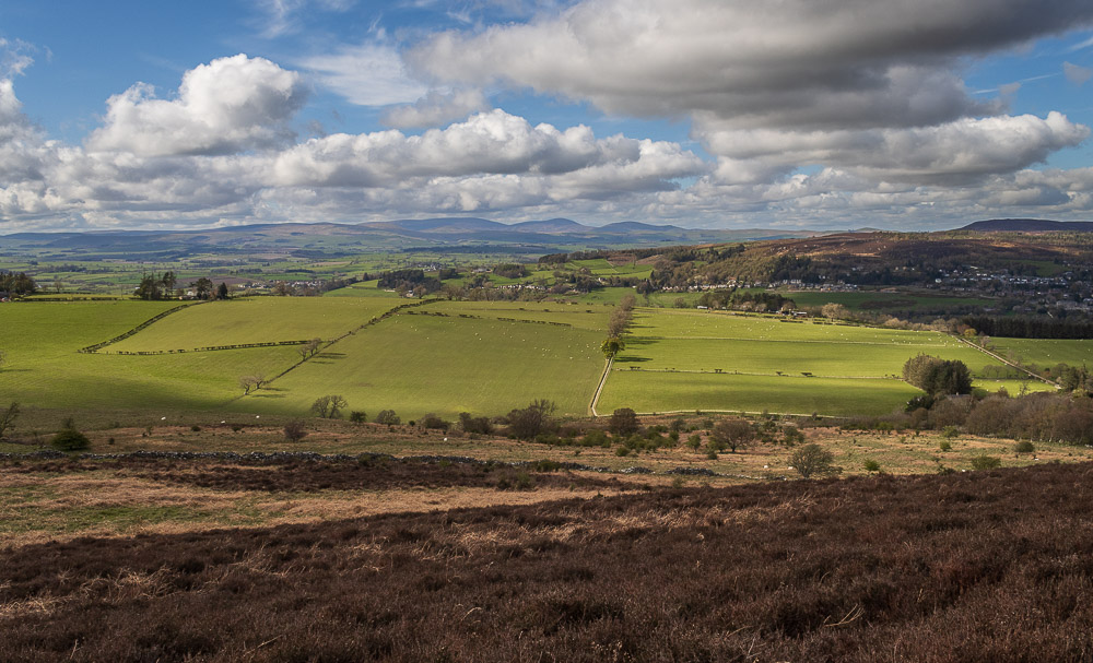
It did mean we got to enjoy the views across to the Cheviots for a bit longer.
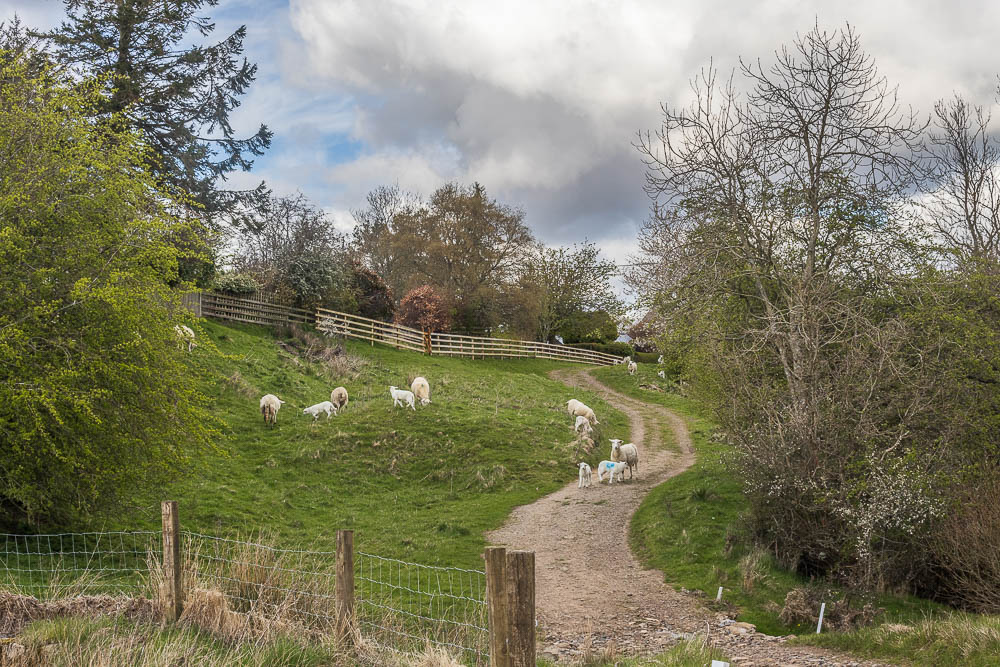
When we got back to Whittondean the track was full of sheep and we were a bit concerned someone had left a gate open, but it turned out all the gates were shut and the sheep had come from around the back of the farm.
All pictures copyright © Peak Walker 2006-2024