
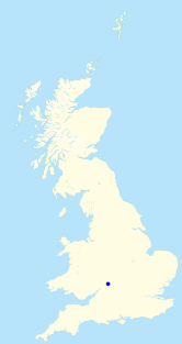
Cleeve Hill
Height 330metres
Grid Reference SO 997 246
Area
County Top - Gloucestershire
Marilyn - Region 39: Central & Eastern England
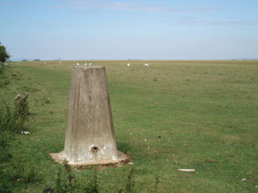
The trig point on the summit of Cleeve Hill.
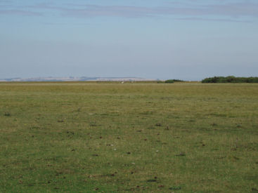
The view across Cleeve Common from Cleeve Hill.
Lay-by on B4632 at Stockwell Common - Cleeve Common - Cleeve Cloud - Cleeve Hill (CT) - Wontley Farm - Belas Knap - Postlip Mill - Cleeve Common - Lay by at Stockwell Common
All pictures copyright © Peak Walker 2006-2021