
Coniston Old Man
Height 803metres
Grid Reference SD 272 978
Area
Historic County Top of Lancashire
Nuttall - Lake District - Southern Fells
Hewitt - Region 34D: Southern Cumbria
Marilyn - Region 34D: Southern Cumbria
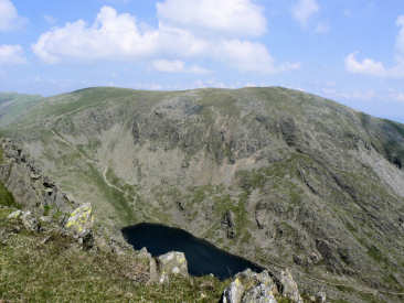
Looking across Goat's Water to Coniston.
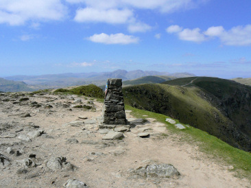
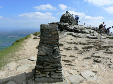
Coniston Old Man's summit cairn and trig point.
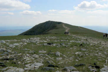
Looking towards the summit of Coniston from Brim Fell.
Coniston's trig point with the Scafells
in the background.
Walna Scar Road - Brown Pike - Buck Pike - Dow Crag - Coniston Old Man (CT) - Brim Fell - Great How - Swirl How - Grey Friar (283) - Seathwaite Tarn - Walna Scar Road
Three Shires Stone - Wet Side Edge - Hell Gill Pike (241) - Little Carrs - Great Carrs (242) - Swirl How - Great How - Brim Fell - Coniston Old Man (CT) - Dow Crag - Buck Pike - Brown Pike - Walna Scar - White Maiden (243) - White Pike (244) - Walna Scar Road - Long House
Walna Scar Road - Seathwaite Tarn - Far Gill - Goat's Hause - Old Man of Coniston (CT) - Goat's Hause - Dow Crag (90) - Buck Pike - Brown Pike - Walna Scar Road
All pictures copyright © Peak Walker 2006-2021