
Black Combe
Height 1970 feet/600metres
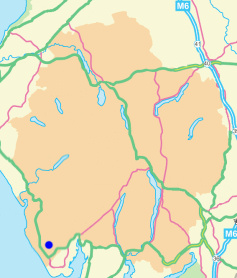
Grid Reference SD 135 855
Area
Birkett - Southern Fells, Black Combe Group - Top No. 225
Wainwright - The Outlying Fells
Marilyn - Region 34D: Southern Fells
Dewey - Coniston Group
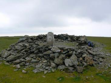
Black Combe's summit trig point and shelter.
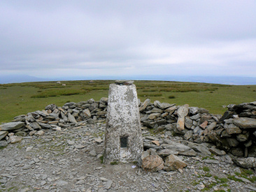
Black Combe's trig point.
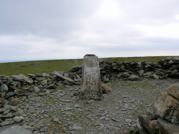
Black Combe's trig viewed from the
entrance to the summit shelter.
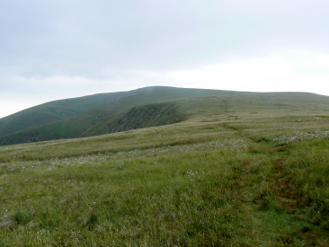
Looking back to Black Combe's summit
from Whitecombe Head.
Beckside - Whicham Mill - Horse Back - Black Combe - South Top of Black Combe - Black Combe - Whitecombe Head - Whitecombe Beck - Beckside
Beckside - White Hall Knott (91) - White Combe (92) - Stoupdale Head (93) - Black Combe (94) - South Top of Black Combe (95) - Hallbeck Gill - Beckside
All pictures copyright © Peak Walker 2021
©Crown copyright. All rights reserved. Licence number 100045184.