
Angletarn Pike - South
Height 1854 feet/565metres
Grid Reference NY 414 147
Area
Birkett - Eastern Fells, Martindale Group - Top No. 253
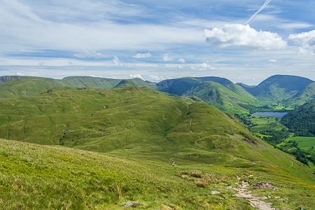
Angletarn Pikes seen across Boredale Hause from the path off Place Fell.
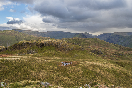
Angletarn Pikes southern summit from the northern top.
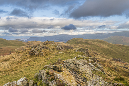
The summit of the southern top on Angletarn Pikes.
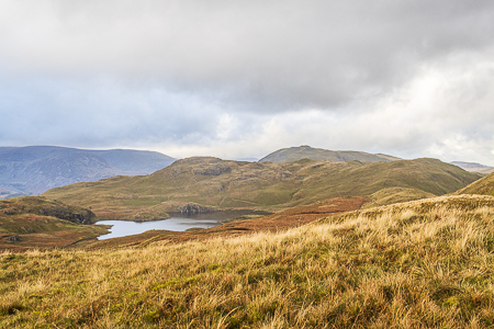
Angletarn Pikes seen across Angle Tarn.
Hartsop - Dubhow - Boredale Hause - Angletarn Pikes North (422) - Angletarn Pikes South (423) - Angle Tarn - Brock Crags (424) - Satura Crag - Hayeswater - Hartsop
All pictures copyright © Peak Walker 2023
©Crown copyright. All rights reserved. Licence number 100045184.