
Blake Fell
Height 1878 feet/573metres
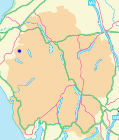
Grid Reference NY 110 197
Area
Birkett - Western Fells, Loweswater Fells - Top No. 245
Wainwright - The Western Fells
Marilyn - Region 34B: Central & Western Fells
Dewey - Great Gable Group
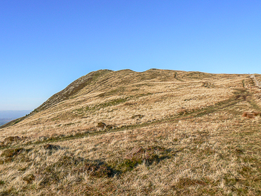
Looking to Blake Fell from High Pen's summit.
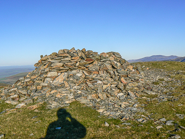
The shelter on Blake Fell's summit.
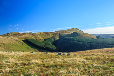
Blake Fell from Owsen Fell.
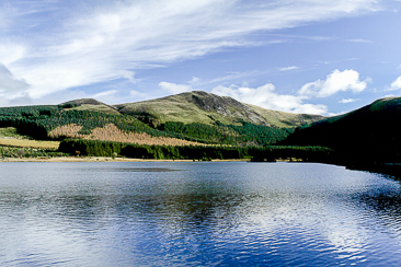
Looking across Cogra Moss to Blake Fell.
Maggie's Bridge - High Nook Tarn - Blake Fell - Burnbank Fell - Owsen Fell (384) - Burnbank Fell - Coffin Road - Holme Beck - High Nook Farm - Maggie's Bridge
Felldyke - Cogra Moss - Sharp Knott (380) - Blake Fell - High Pen - Low Pen - Felldyke
Maggie's Bridge - Holme Wood - Burnbank Fell (338) - Loweswater End on Carling Knott (339) - Carling Knott (340) - Blake Fell (341) - Gavel Fell - Floutern Cop (342) - Whiteoak Beck - Maggie's Bridge
All pictures copyright © Peak Walker 2021
©Crown copyright. All rights reserved. Licence number 100045184.