
Brown Howe (Mardale)
Height 1736 feet/529metres
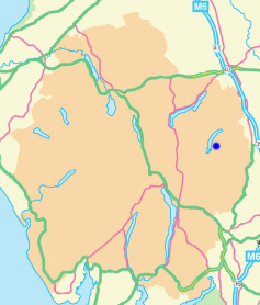
Grid Reference NY 487 122
Area
Birkett - Eastern Fells, Branstree Group - Top No. 292
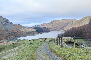
Brown Howe from Mardale Head.
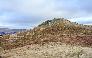
Approaching Brown Howe's summit.
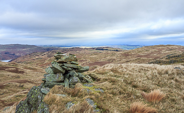
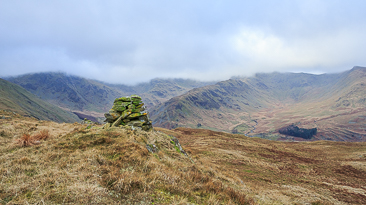
Brown Howe's summit cairn.
Rigginfdale from Brown Howe's summit.
Lay-by Haweswater Road - Corpse Road - Brown Howe - Mardale (394) - Selside Pike (395) - High Howes - Mardale (396) - Branstree (397) - Gatescarth Pass - Mardale Head - Lay-by Haweswater Road
All pictures copyright © Peak Walker 2021
©Crown copyright. All rights reserved. Licence number 100045184.