
Burnbank Fell
Height 1558 feet/475metres
Grid Reference NY 110 209
Area
Birkett - Western Fells, Loweswater Fells - Top No. 370
Wainwright - The Western Fells
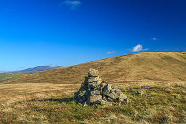
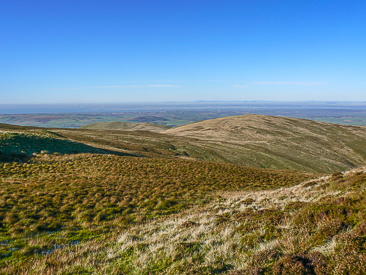
Looking back to Burnbank Fell from the summit of Owsen Fell
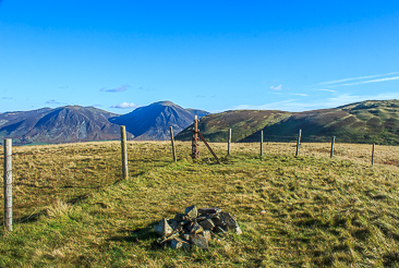
Burnbank Fell's true summit is marked by the corner of the fence.
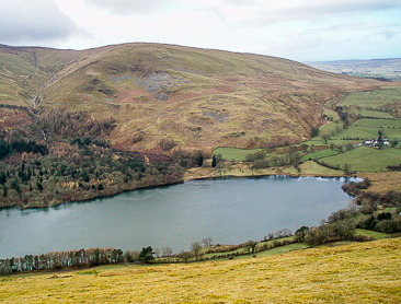
Burnbank Fell across Loweswater from Darling Fell.
Burnbank Fell's summit from the slopes of Carling Knott.
Maggie's Bridge - High Nook Tarn - Blake Fell - Burnbank Fell - Owsen Fell (384) - Burnbank Fell - Coffin Road - Holme Beck - High Nook Farm - Maggie's Bridge
Maggie's Bridge - Holme Wood - Burnbank Fell (338) - Loweswater End on Carling Knott (339) - Carling Knott (340) - Blake Fell (341) - Gavel Fell - Floutern Cop (342) - Whiteoak Beck - Maggie's Bridge
All pictures copyright © Peak Walker 2021
©Crown copyright. All rights reserved. Licence number 100045184.